South End

Settlement in Yorkshire

England

South End

Looking east towards Nortofts Hill
Looking east towards Nortofts Hill Credit: Ian S

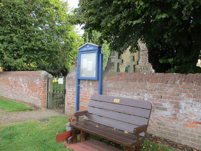
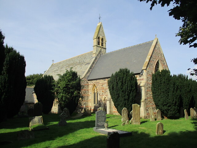
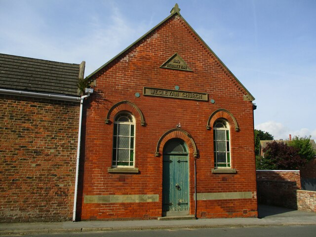
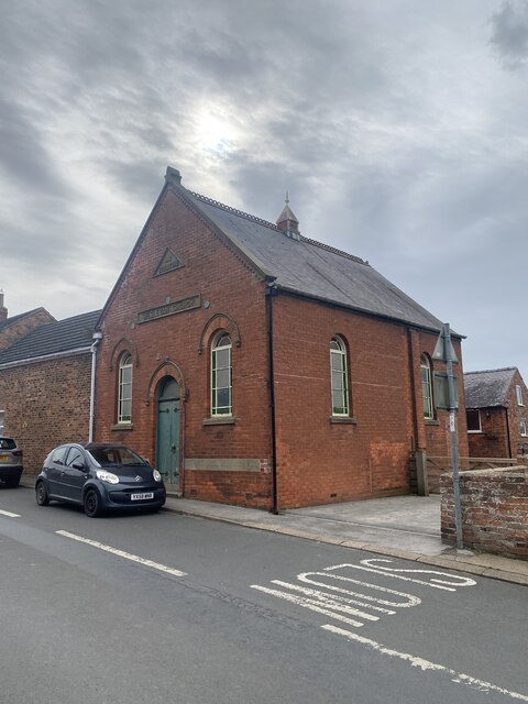
South End is a small village located in the county of Yorkshire, England. Situated near the coast, the village is known for its picturesque views of the North Sea and its charming, traditional English architecture. The village is home to a tight-knit community of residents who take pride in their local heritage and traditions.

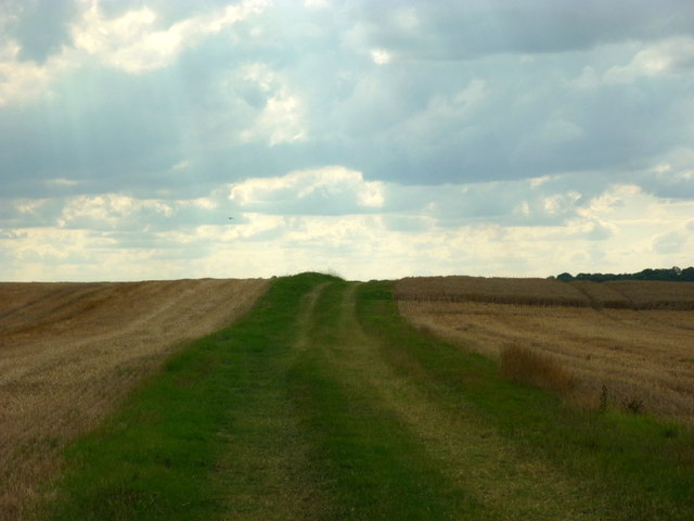
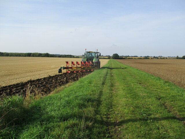
South End is surrounded by beautiful countryside, making it an ideal location for outdoor enthusiasts and nature lovers. The village is also well-connected to larger cities such as Leeds and York, offering residents easy access to a range of amenities and services.

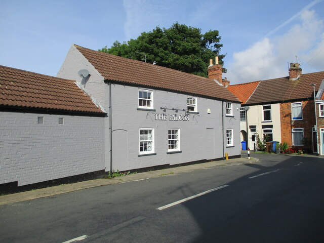
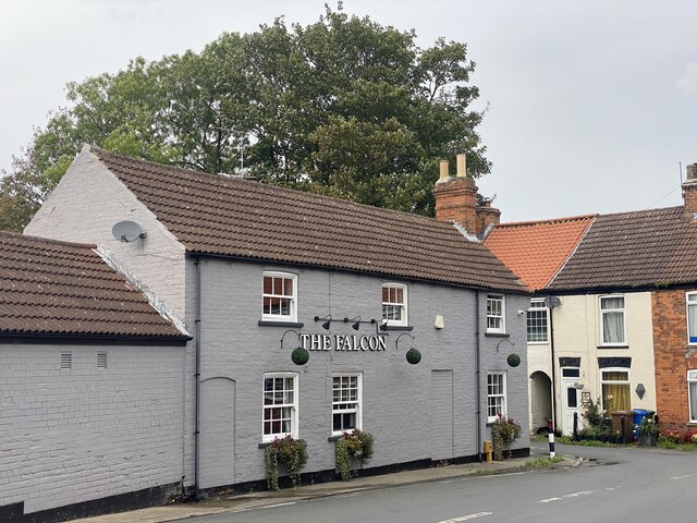
In terms of amenities, South End has a few local shops, pubs, and restaurants that cater to the needs of its residents. The village also has a primary school, making it a popular choice for families with young children.

Overall, South End offers a tranquil and idyllic setting for those looking to escape the hustle and bustle of city life. Its charming atmosphere and stunning views make it a sought-after destination for both visitors and residents alike.

If you have any feedback on the listing, please let us know in the comments section below.
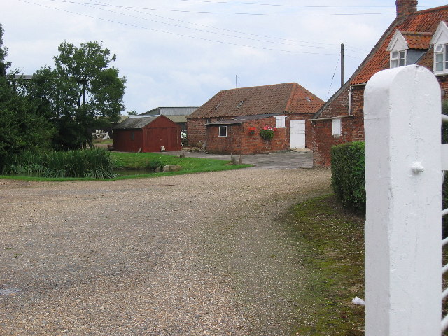
South End Images

Images are sourced within 2km of 53.844158/-0.181795 or Grid Reference TA1940. Thanks to Geograph Open Source API. All images are credited.

Looking east towards Nortofts Hill
Starting  to  plough  a  stubble  field  alongside  Straits  Road The grass track is called Straits Road but is only a track to fields and a footpath
Starting to plough a stubble field alongside Straits Road
The grass track is called Straits Road but is only a track to fields and a footpath
Gate  into  St  Alban's  churchyard  Withernwick From West Lambwath Road
Gate into St Alban's churchyard Withernwick
From West Lambwath Road
St  Alban's  Parish  Church  Withernwick Rebuilt in 1855 by Mallinson & Healey incorporating old materials from a previous church
St Alban's Parish Church Withernwick
Rebuilt in 1855 by Mallinson & Healey incorporating old materials from a previous church
Wesleyan  Church  built  1810  rebuilt  1914  Main  street
Wesleyan Church built 1810 rebuilt 1914 Main street
The  Falcon  public  house  Withernwick
The Falcon public house Withernwick
Cowden  Lane  leaving  Withernwick On the left the access road to Whitefields Farm
Cowden Lane leaving Withernwick
On the left the access road to Whitefields Farm
Cowden  Lane  back  toward  Withernwick
Cowden Lane back toward Withernwick
Wesleyan Church, Withernwick
The Falcon, Withernwick
Westlands Farm
Westlands Farm
Withernwick Hall The Hall is north of Withernwick village which is in the adjacent square south.
Withernwick Hall
The Hall is north of Withernwick village which is in the adjacent square south.
St. Albans, Withernwick Withernwick sits in just about the centre of the grid square. This area is farmland.
St. Albans, Withernwick
Withernwick sits in just about the centre of the grid square. This area is farmland.
Longdyke Farm In this farming square the road run EW along the top edge of the grid square from which this view is from, looking south.
Longdyke Farm
In this farming square the road run EW along the top edge of the grid square from which this view is from, looking south.
Farmland West of Withernwick The Withernwick Road runs EW near the north edge of the grid square. this is a typical view of the farmland in this area looking SW.
Farmland West of Withernwick
The Withernwick Road runs EW near the north edge of the grid square. this is a typical view of the farmland in this area looking SW.
Farm Field Luckily, the road just clips the NW corner of this square, so this photo was taken looking in a SE direction from MR: TA18014198.
Farm Field
Luckily, the road just clips the NW corner of this square, so this photo was taken looking in a SE direction from MR: TA18014198.
Main Street, Withernwick Looking north-northwest towards the junction of Main Street and High Street with The Falcon pub on the left, which has traded under this name since 1892. The name Withernwick is thought to be an Anglo-Scandinavian hybrid meaning 'dairy farm near a thorn tree'.
Main Street, Withernwick
Looking north-northwest towards the junction of Main Street and High Street with The Falcon pub on the left, which has traded under this name since 1892. The name Withernwick is thought to be an Anglo-Scandinavian hybrid meaning 'dairy farm near a thorn tree'.
South End, Withernwick Looking east-southeast across Beck Bridge towards The Manor House. The Manor House at South End was built (or rebuilt) in around 1840, possibly on the site of a previous house called Hall Garth which was recorded in 1576. The name Withernwick is thought to be an Anglo-Scandinavian hybrid meaning 'dairy farm near a thorn tree'.
South End, Withernwick
Looking east-southeast across Beck Bridge towards The Manor House. The Manor House at South End was built (or rebuilt) in around 1840, possibly on the site of a previous house called Hall Garth which was recorded in 1576. The name Withernwick is thought to be an Anglo-Scandinavian hybrid meaning 'dairy farm near a thorn tree'.
Show me another place!

South End is located at Grid Ref: TA1940 (Lat: 53.844158, Lng: -0.181795)

Division: East Riding

Unitary Authority: East Riding of Yorkshire

Police Authority: Humberside

What 3 Words

///nation.muddy.scanty. Near Burton Constable, East Yorkshire

Related Wikis

Withernwick

Withernwick is a village and civil parish in the East Riding of Yorkshire, England. It is situated approximately 10 miles (16 km) north-east of Hull city...

Holderness

Holderness is an area of the East Riding of Yorkshire, on the north-east coast of England. An area of rich agricultural land, Holderness was marshland...

Holderness Wapentake

Holderness was a wapentake of the historic East Riding of Yorkshire, England consisting of the south-easterly part of the county. Established in medieval...

Marton, East Riding of Yorkshire

Marton is a hamlet in the civil parish of Burton Constable, in the East Riding of Yorkshire, England, and in an area known as Holderness. It is situated...

Nearby Amenities

Located within 500m of 53.844158,-0.181795
Withernwick
Is In: East Riding of Yorkshire, England, UK
Is In County: East Riding of Yorkshire
Place: village
Source: npe
Lat/Long: 53.8477914/-0.1859254
Bus Stop
Withernwick Aldbrough Road
Naptan AtcoCode: 2200YEA00690
Naptan Bearing: N
Naptan CommonName: Withernwick Aldbrough Road
Naptan Street: Main Street
Naptan Verified: no
Source: naptan_import
Lat/Long: 53.8478377/-0.1845737
Bus Stop
Withernwick W Lambwath Rd
Naptan AtcoCode: 2200YEA00691
Naptan Bearing: NW
Naptan CommonName: Withernwick W Lambwath Rd
Naptan Street: West Lambwath Road
Naptan Verified: no
Source: naptan_import
Lat/Long: 53.846663/-0.187741
Power: pole
Lat/Long: 53.8445064/-0.1890881
Power: pole
Lat/Long: 53.8451679/-0.1889701
Power: pole
Lat/Long: 53.8436203/-0.189233
Power: pole
Lat/Long: 53.8454823/-0.1889079
Telephone
Defibrillator
Booth: K6
Covered: booth
Defibrillator Location: inside old red phone box on Main Street, Withernwick
Emergency: defibrillator
Man Made: telephone_box
Lat/Long: 53.8478912/-0.184465
Bus Stop
Lat/Long: 53.8478675/-0.1844275
Post Box
Post Box Type: wall
Royal Cypher: GR
Royal Cypher Wikidata: Q33102273
Lat/Long: 53.8472564/-0.1841305
The data included in this document is from www.openstreetmap.org. The data is made available under ODbL.

Have you been to South End?

Leave your review of South End below (or comments, questions and feedback).