South End

Settlement in Wiltshire New Forest

England

South End

View up field to Ball Hill Copse
View up field to Ball Hill Copse Credit: David Martin

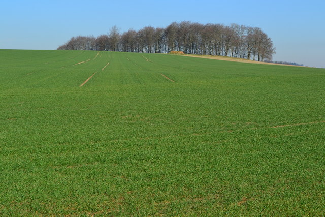
South End is a small village located in the county of Wiltshire, England. Situated in the southern part of the county, it is part of the larger civil parish of Calne Without. South End is surrounded by picturesque countryside, offering residents and visitors a serene and tranquil environment.

The village has a modest population and is primarily residential, with a mix of traditional cottages and modern houses. It benefits from its close proximity to the town of Calne, which provides essential amenities and services such as shops, schools, and healthcare facilities. The village itself has limited amenities, including a local pub and a small convenience store.

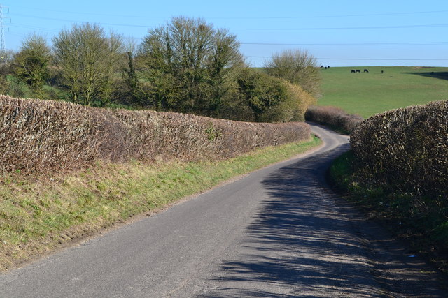
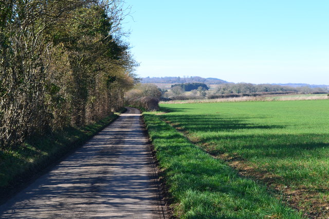
South End is well-connected to the surrounding areas by road, with the A4 running nearby, providing easy access to neighboring towns and cities. The village is also within commuting distance of larger employment hubs such as Swindon and Bristol.

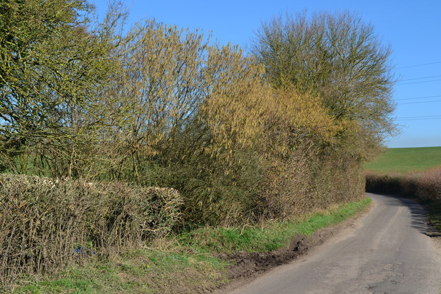
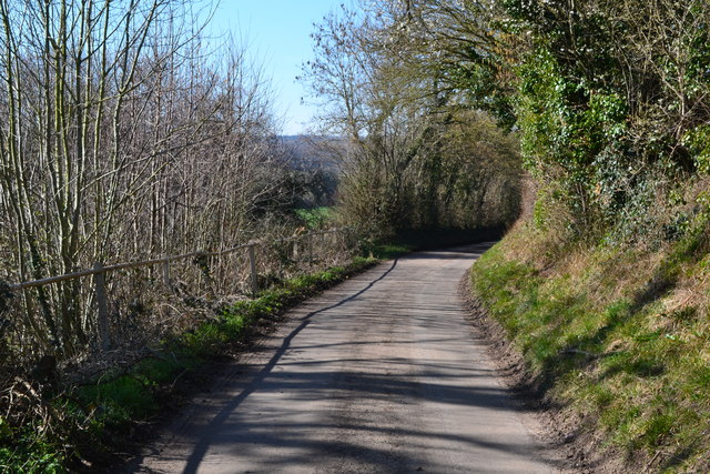
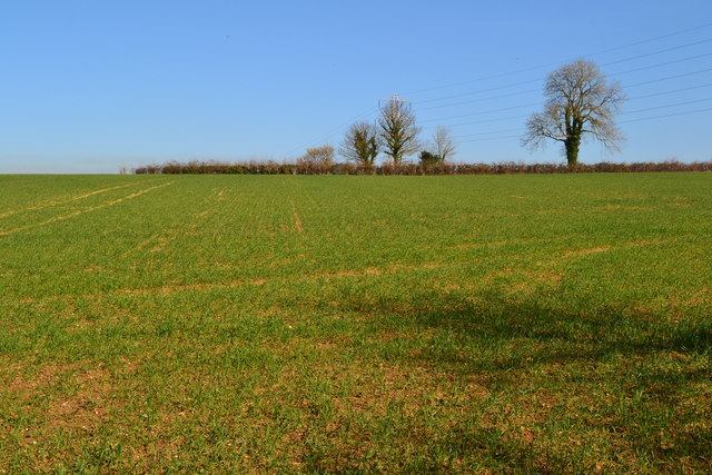
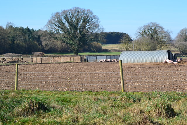
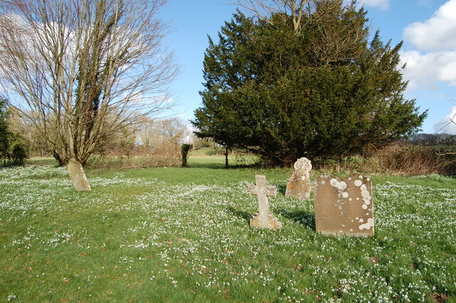
Nature enthusiasts will appreciate the village's proximity to beautiful countryside, with opportunities for walking, hiking, and exploring the nearby North Wessex Downs Area of Outstanding Natural Beauty. There are also several historical landmarks and attractions in the vicinity, including the Cherhill White Horse and Avebury Stone Circle.

Overall, South End offers a peaceful and rural lifestyle, making it an attractive place to live for those seeking a quieter pace of life while still being conveniently located near essential amenities and natural beauty.

If you have any feedback on the listing, please let us know in the comments section below.
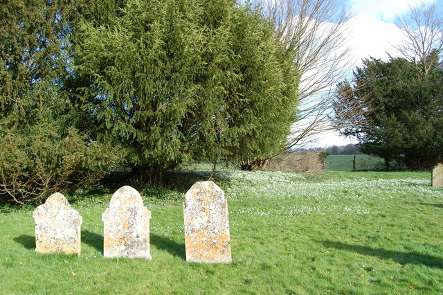
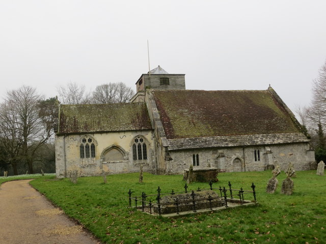
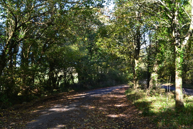
South End Images

Images are sourced within 2km of 50.936541/-1.852529 or Grid Reference SU1015. Thanks to Geograph Open Source API. All images are credited.

View up field to Ball Hill Copse
Descending the hill to Four Corners
Catkins at Four Corners The footpath entrance through the hedge is marked by the muddy patch on the verge.
Catkins at Four Corners
The footpath entrance through the hedge is marked by the muddy patch on the verge.
Lane at Last Post There were so many bees on the blossom directly above this spot, their buzzing was the main sound in the landscape - in February!!
Lane at Last Post
There were so many bees on the blossom directly above this spot, their buzzing was the main sound in the landscape - in February!!
Field to the skyline near Last Post
Lane to Boulsbury Farm
Pigs at Boulsbury
Pigs at Boulsbury
Bend in the lane to Boulsbury Farm
Shady track in Ashridge Copse
Ashridge Copse
Ashridge Copse
Snowdrops in St Georges churchyard
St George's  church yard
St George's church yard
Ordnance Survey Cut Mark This can be found on the wall of St George's Church at Damerham.
For more detail see : <span class="nowrap"><a title="http://www.bench-marks.org.uk/bm33542" rel="nofollow ugc noopener" href="http://www.bench-marks.org.uk/bm33542">Link</a><img style="margin-left:2px;" alt="External link" title="External link - shift click to open in new window" src="https://s1.geograph.org.uk/img/external.png" width="10" height="10"/></span>
Ordnance Survey Cut Mark
This can be found on the wall of St George's Church at Damerham. For more detail see : LinkExternal link
The Church of St George at Damerham Viewed from the north-east.
The Church of St George at Damerham
Viewed from the north-east.
Leafy lay-by near Sandleheath
Old Direction Sign - Signpost by Sandleheath Road, Alderholt Mill Annulus and bar finial - 3 arms; Dorset halo with NGR by the UC road, in parish of Alderholt (East Dorset District), Alderholt Mill, T-junction with UC road to Cripplestyle, on verge.

Surveyed

Milestone Society National ID: DO_SU1114
Old Direction Sign - Signpost by Sandleheath Road, Alderholt Mill
Annulus and bar finial - 3 arms; Dorset halo with NGR by the UC road, in parish of Alderholt (East Dorset District), Alderholt Mill, T-junction with UC road to Cripplestyle, on verge. Surveyed Milestone Society National ID: DO_SU1114
Alderholt Mill, Sandleheath Road, Alderholt Grade II Listed late 18th century watermill.  The iron breast shot water wheel is by W Munden of Ringwood of about 1867. There was a mill here at least as early as the 1330s and for many years the mill was known as Padner's Mill after a medieval tenant. The mill was worked commercially until 1947 and then fell into disrepair. It was restored and successfully produced flour again in 1987. Wholemeal, stone-ground flour from local wheat is available for purchase in the mill and locally. The old miller's cottage and warehouses were converted in the 1950s and are now self catering flats.
Alderholt Mill, Sandleheath Road, Alderholt
Grade II Listed late 18th century watermill. The iron breast shot water wheel is by W Munden of Ringwood of about 1867. There was a mill here at least as early as the 1330s and for many years the mill was known as Padner's Mill after a medieval tenant. The mill was worked commercially until 1947 and then fell into disrepair. It was restored and successfully produced flour again in 1987. Wholemeal, stone-ground flour from local wheat is available for purchase in the mill and locally. The old miller's cottage and warehouses were converted in the 1950s and are now self catering flats.
Sandleheath, bus shelter On Main Road, next to the crossroads; offering infrequent services to Fordingbridge and Salisbury.
Sandleheath, bus shelter
On Main Road, next to the crossroads; offering infrequent services to Fordingbridge and Salisbury.
Show me another place!

South End is located at Grid Ref: SU1015 (Lat: 50.936541, Lng: -1.852529)

Administrative County: Hampshire

District: New Forest

Police Authority: Hampshire

What 3 Words

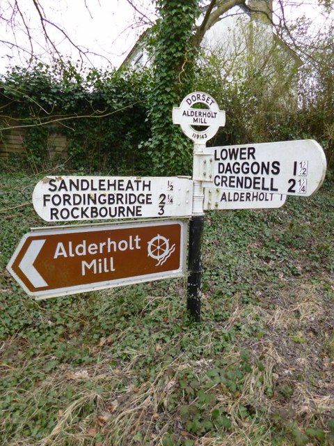
///indicated.boarded.starts. Near Alderholt, Dorset

Related Wikis

Damerham

Damerham is a rural village and civil parish in the New Forest district of Hampshire, England, near Fordingbridge. The area has notable Neolithic and Bronze...

Lower Daggons

Lower Daggons is a hamlet in the New Forest district of Hampshire, England. At the 2011 Census the Post Office affirmed the population was included in...

Sandleheath

Sandleheath is a village and civil parish about 1.8 miles (2.9 km) west of Fordingbridge in the New Forest District of Hampshire, England. It has a...

Lopshill

Lopshill is a hamlet in the New Forest district in Hampshire, England. It is in the civil parish of Damerham. It is about 4 miles (7 km) from the New...

Nearby Amenities

Located within 500m of 50.936541,-1.852529
Post Box
Postal Code: SP6
Ref: SP6 216
Lat/Long: 50.9389686/-1.8539269
Barrier: stile
Source: Survey
Lat/Long: 50.9385524/-1.8478904
Barrier: stile
Source: Survey
Lat/Long: 50.9380961/-1.8476557
Barrier: stile
Lat/Long: 50.9331981/-1.8559164
Barrier: stile
Lat/Long: 50.9332733/-1.8521543
Barrier: stile
Lat/Long: 50.9367017/-1.856709
Barrier: stile
Lat/Long: 50.9377524/-1.8549458
Power: pole
Lat/Long: 50.9388601/-1.8558231
Power: pole
Lat/Long: 50.9378612/-1.8560578
Power: pole
Lat/Long: 50.9370406/-1.8554503
Power: pole
Lat/Long: 50.93402/-1.8532106
Power: pole
Lat/Long: 50.9333531/-1.8527077
Power: pole
Source: bing
Lat/Long: 50.9325967/-1.8521605
Power: pole
Source: bing
Lat/Long: 50.9347105/-1.8537404
Power: pole
Source: bing
Lat/Long: 50.9362157/-1.8548414
Power: pole
Source: bing
Lat/Long: 50.9353444/-1.854195
Power: pole
Source: bing
Lat/Long: 50.9398489/-1.8555656
Power: pole
Source: bing
Lat/Long: 50.9386388/-1.8543193
Power: pole
Source: bing
Lat/Long: 50.9387439/-1.852541
Power: pole
Source: bing
Lat/Long: 50.9391197/-1.8507015
Power: pole
Source: bing
Lat/Long: 50.9399579/-1.8505639
Power: pole
Source: bing
Lat/Long: 50.9404532/-1.8496633
Power: pole
Source: bing
Lat/Long: 50.940958/-1.8520043
Power: pole
Source: bing
Lat/Long: 50.9409156/-1.8525257
Power: pole
Source: bing
Lat/Long: 50.9408598/-1.8531419
Power: pole
Source: bing
Lat/Long: 50.9408154/-1.853703
Power: pole
Source: bing
Lat/Long: 50.9394357/-1.8541985
Power: pole
Source: bing
Lat/Long: 50.9390686/-1.8544416
Power: pole
Source: bing
Lat/Long: 50.9386687/-1.8546128
Power: pole
Source: bing
Lat/Long: 50.938476/-1.8555685
Power: pole
Source: bing
Lat/Long: 50.9381417/-1.8583942
Power: pole
Source: bing
Lat/Long: 50.938318/-1.8568912
South End
Place: hamlet
Lat/Long: 50.938051/-1.8543208
The Marsh
Place: hamlet
Lat/Long: 50.9346033/-1.8528361
The data included in this document is from www.openstreetmap.org. The data is made available under ODbL.

Have you been to South End?

Leave your review of South End below (or comments, questions and feedback).