South End
Settlement in Buckinghamshire
England
South End

South End is a small village located in the county of Buckinghamshire, England. Situated in the Chiltern Hills, it is surrounded by picturesque countryside and offers residents and visitors a tranquil and idyllic setting. The village is part of the civil parish of Dorney and Burnham, and lies approximately 3 miles northeast of the town of Burnham.
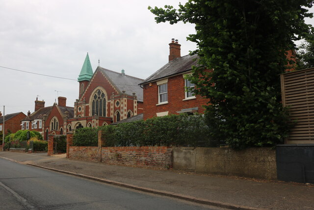
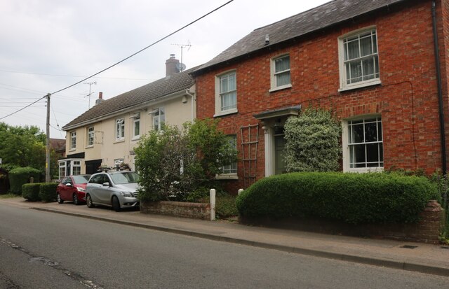
South End is known for its charming and traditional architecture, with many of its buildings dating back several centuries. The village is predominantly residential, with a close-knit community that takes pride in its heritage and natural surroundings. The local economy is primarily driven by agriculture and tourism, attracting visitors who come to explore the beautiful countryside and enjoy outdoor activities such as hiking and cycling.
Despite its rural setting, South End is well-connected to nearby towns and cities. The M4 motorway is easily accessible, providing convenient links to London and other major cities. The village also benefits from good public transport connections, with regular bus services operating in the area.
Local amenities in South End include a village hall, a primary school, and a few small businesses catering to the needs of residents. For more extensive amenities such as supermarkets, shops, and healthcare facilities, residents can easily access the nearby towns of Burnham and Slough.
Overall, South End offers a peaceful and picturesque retreat for those seeking a rural lifestyle, while still maintaining accessibility to urban conveniences. Its natural beauty and community spirit make it a desirable place to live or visit in Buckinghamshire.
If you have any feedback on the listing, please let us know in the comments section below.
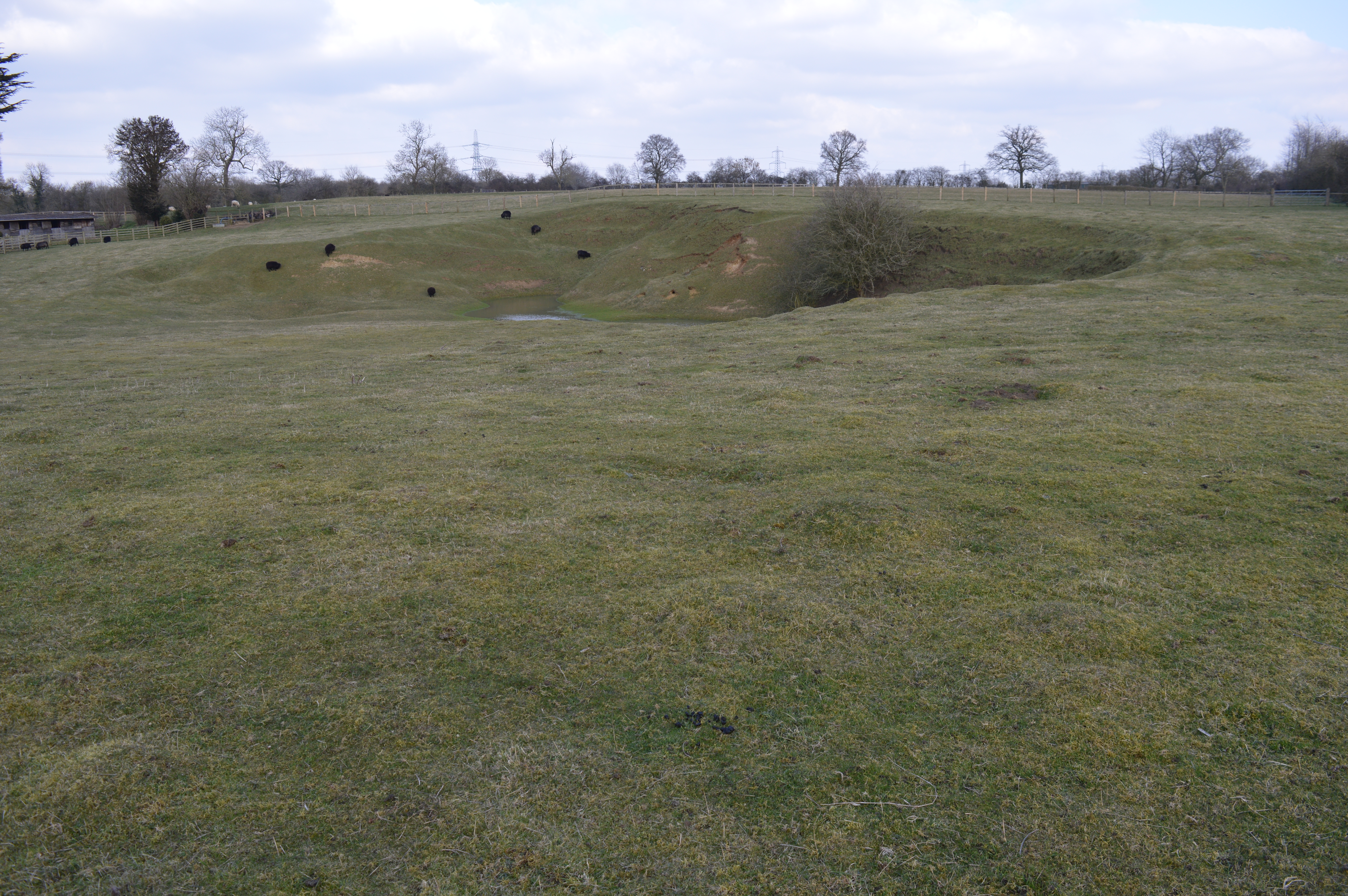
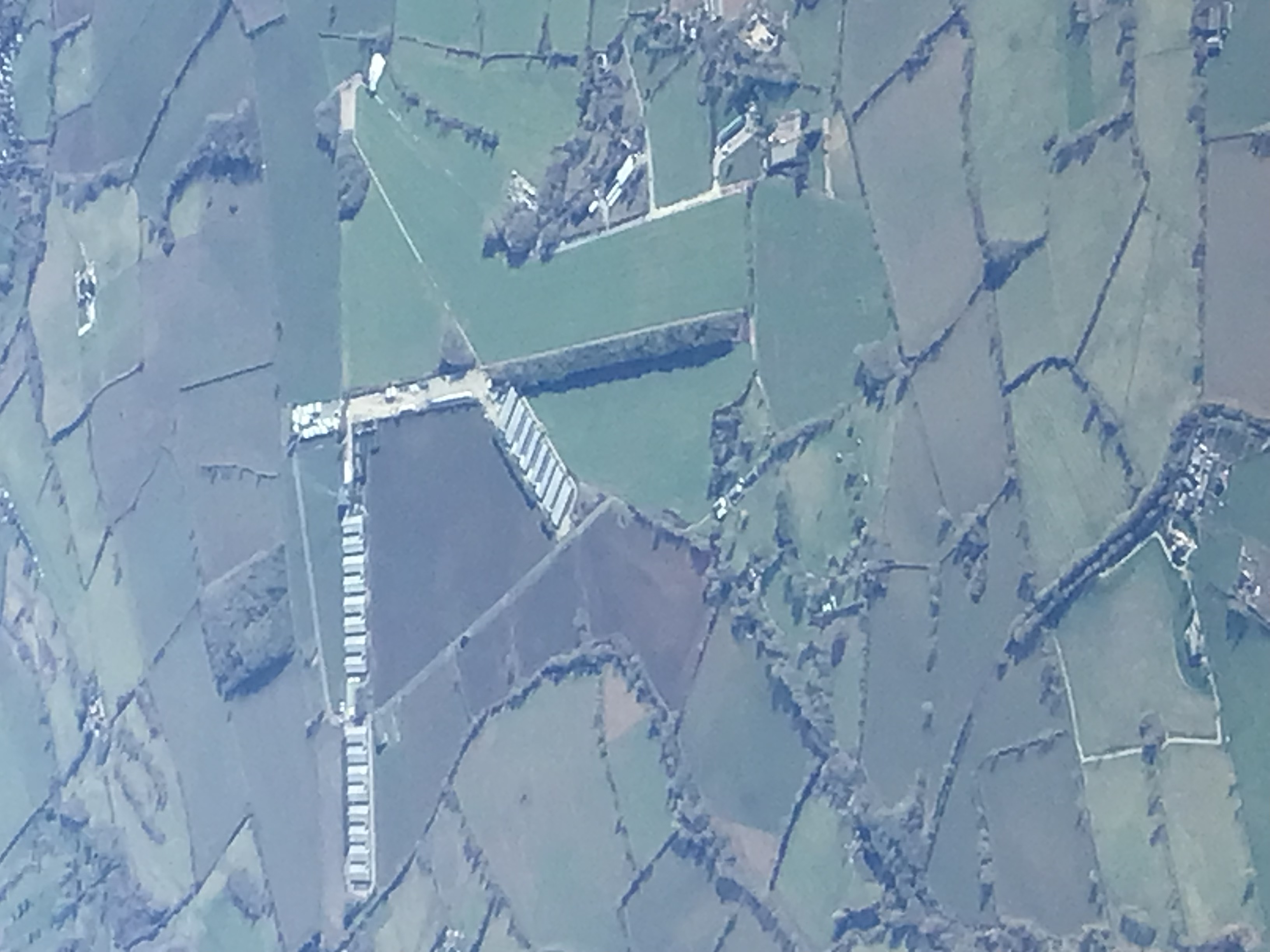
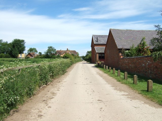
South End Images
Images are sourced within 2km of 51.922415/-0.758265 or Grid Reference SP8525. Thanks to Geograph Open Source API. All images are credited.


South End is located at Grid Ref: SP8525 (Lat: 51.922415, Lng: -0.758265)
Unitary Authority: Buckinghamshire
Police Authority: Thames Valley
What 3 Words
///president.upstarts.mount. Near Stewkley, Buckinghamshire
Nearby Locations
Related Wikis

Stewkley
Stewkley is a village and civil parish in the Buckinghamshire district of the ceremonial county of Buckinghamshire, England. The village is about 5 miles...
Warren Farm, Stewkley
Warren Farm, Stewkley is a 1.5-hectare (3.7-acre) geological Site of Special Scientific Interest in Stewkley in Buckinghamshire. It is a Geological Conservation...
RAF Wing
Royal Air Force Wing or more simply RAF Wing is a former Royal Air Force station, situated just west of the village of Wing, in the Aylesbury Vale district...
Littlecote, Buckinghamshire
Littlecote, in the English county of Buckinghamshire, also known as Lidcote, was a village about eight miles north of Aylesbury. A settlement with ten...
Nearby Amenities
Located within 500m of 51.922415,-0.758265Have you been to South End?
Leave your review of South End below (or comments, questions and feedback).