South End
Settlement in Lancashire Barrow-in-Furness
England
South End
South End is a small village located in the county of Lancashire, in the northwest of England. Situated on the southern bank of the River Ribble, the village is known for its picturesque surroundings and serene atmosphere. With a population of around 1,500 residents, South End offers a close-knit community feel.
The village boasts a rich history, with evidence of settlement dating back to the Roman era. Today, remnants of its past can still be seen in the form of historic buildings and landmarks. The local church, St. Mary's, is a prominent feature, with its beautiful architecture and stained glass windows.
Nature lovers are drawn to South End for its stunning natural beauty. The village is surrounded by lush green fields and offers breathtaking views of the river. The nearby Ribble Estuary is a haven for birdwatchers, as it is home to a wide variety of bird species, including wintering wildfowl and waders.
Although small in size, South End offers a range of amenities for its residents. There is a local primary school, a village hall, and a few small shops and businesses. For more extensive shopping and entertainment options, the nearby town of Preston is easily accessible.
South End is well-connected to other parts of Lancashire and beyond via road and rail links. The M6 motorway is within close proximity, providing convenient access to major cities such as Manchester and Liverpool.
Overall, South End is a charming village with a rich history, picturesque landscapes, and a strong sense of community. It offers a peaceful retreat from the hustle and bustle of city life, while still providing easy access to nearby amenities and attractions.
If you have any feedback on the listing, please let us know in the comments section below.
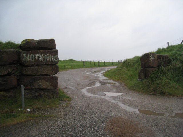
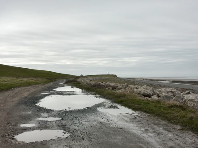
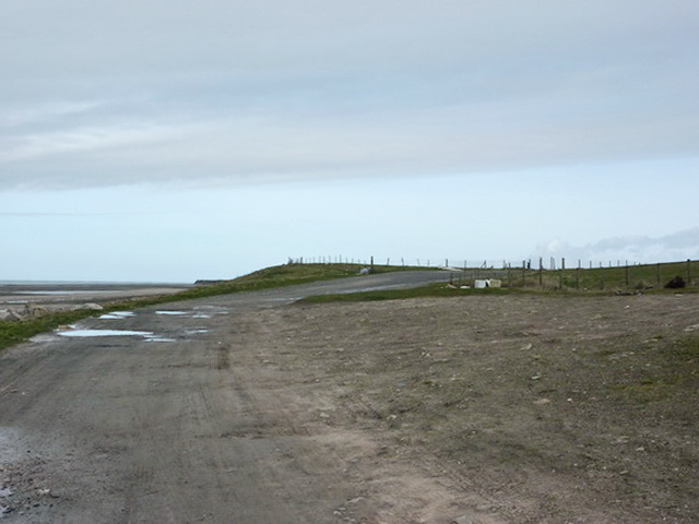
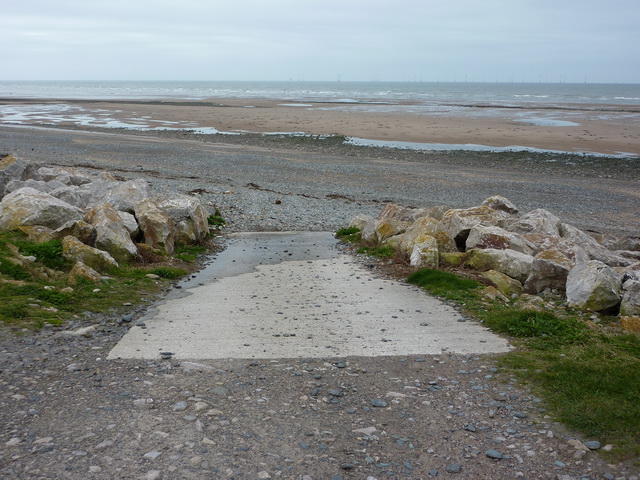
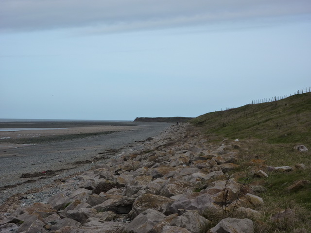
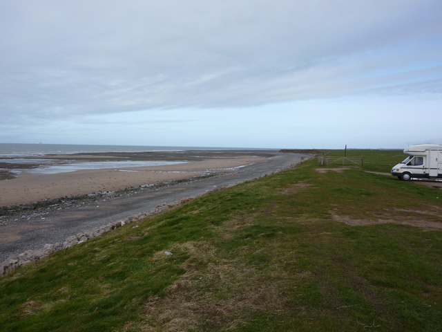
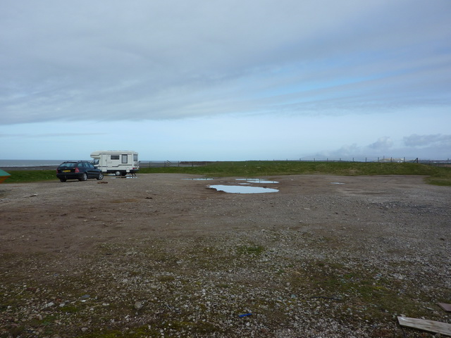
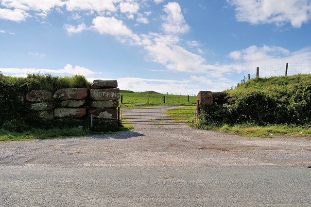
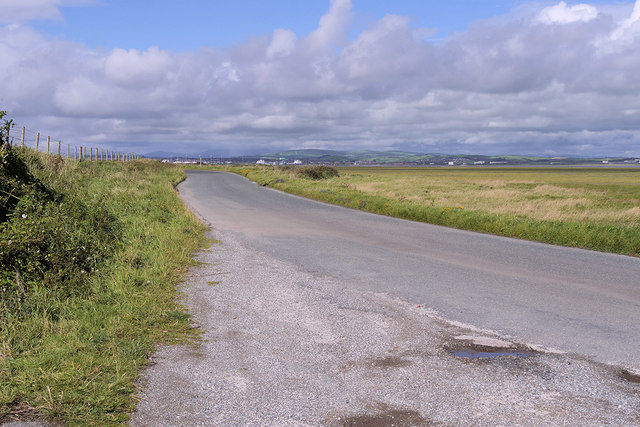
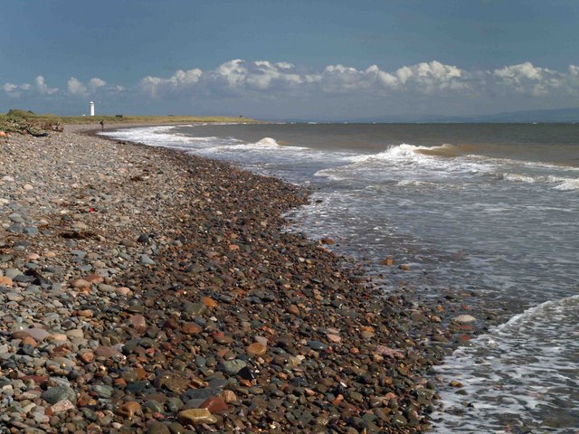
South End Images
Images are sourced within 2km of 54.056718/-3.2235974 or Grid Reference SD2063. Thanks to Geograph Open Source API. All images are credited.


South End is located at Grid Ref: SD2063 (Lat: 54.056718, Lng: -3.2235974)
Administrative County: Cumbria
District: Barrow-in-Furness
Police Authority: Cumbria
What 3 Words
///hazy.defeated.daisy. Near Barrow in Furness, Cumbria
Nearby Locations
Related Wikis
South Walney
South Walney is one of two nature reserves on Walney Island, England. The nature reserve has an area of 130 ha leased from Holker estates. It has been...

Sheep Island (England)
Sheep Island is an uninhabited grassy island of around 15 acres (6 ha), located just over 1⁄4 mile (400 m) from the shore of Walney Island, opposite Snab...

Walney South
Walney South is one of two wards on Walney Island in the Borough of Barrow-in-Furness, North West England. The 2001 UK census showed 5,784 people were...

Walney Lighthouse
Walney Lighthouse is a functioning lighthouse located on Walney Island in Barrow-in-Furness, Cumbria, England. The current building dates to the early...

Piel Island
Piel Island lies in Morecambe Bay , around 1⁄2 mile (800 metres) off the southern tip of the Furness peninsula in the administrative county of Cumbria...

Piel Castle
Piel Castle, also known as Fouldry Castle or the Pile of Fouldray, is a castle situated on the south-eastern point of Piel Island, off the coast of the...
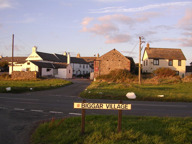
Biggar, Cumbria
Biggar is a village towards the south of Walney Island in Cumbria, England. Along with the village of North Scale, it is the oldest settlement on the island...

Piel railway station
Piel railway station was the terminus of the Furness Railway's Piel Branch in Barrow-in-Furness, England that operated between 1846 and 1936. Located on...
Nearby Amenities
Located within 500m of 54.056718,-3.2235974Have you been to South End?
Leave your review of South End below (or comments, questions and feedback).