South Elphinstone

Settlement in East Lothian

Scotland

South Elphinstone

Limeylands Road, Ormiston Ormiston is expanding here.
Limeylands Road, Ormiston Credit: Richard Webb

South Elphinstone is a small village located in East Lothian, Scotland. Situated approximately 18 miles east of Edinburgh, it is nestled in a picturesque rural setting, surrounded by rolling hills and farmland. The village is part of the wider Elphinstone estate, known for its historical significance and natural beauty.

Although South Elphinstone is a relatively small community, it boasts a close-knit and friendly atmosphere. The village is predominantly residential, with a scattering of traditional stone-built houses and cottages. The architecture reflects the area's rich heritage and adds to the charm of the village.

Despite its rural setting, South Elphinstone benefits from its proximity to nearby towns and amenities. The village is within easy reach of nearby Haddington, a bustling market town that offers a range of shops, cafes, and services. The coastal town of North Berwick is also a short drive away, providing access to stunning beaches and golf courses.

Nature enthusiasts will appreciate the abundance of outdoor activities available in the surrounding area. The East Lothian countryside offers opportunities for scenic walks, cycling routes, and birdwatching. The nearby Lammermuir Hills provide a stunning backdrop for hiking and exploring.

In summary, South Elphinstone is a tranquil and picturesque village in East Lothian, offering a peaceful rural lifestyle while still being within easy reach of larger towns and amenities. Its historical charm, friendly community, and natural beauty make it an attractive place to call home.

If you have any feedback on the listing, please let us know in the comments section below.

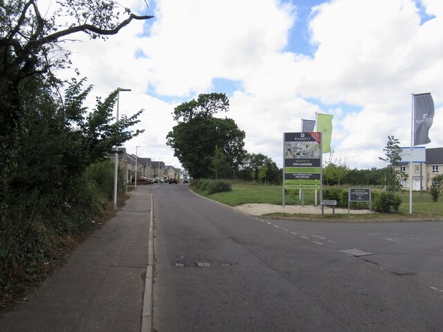
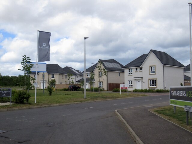
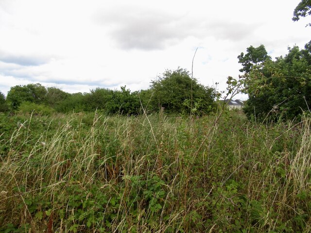
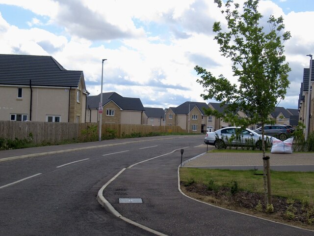
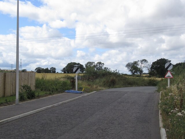
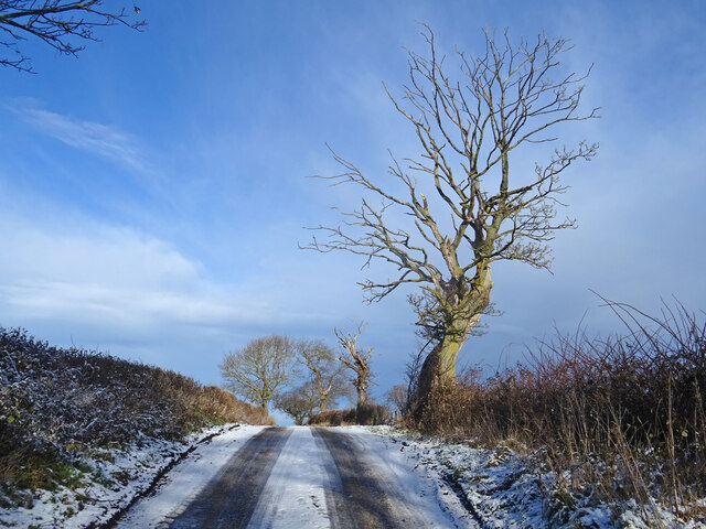
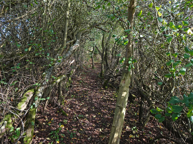
South Elphinstone Images

Images are sourced within 2km of 55.9192/-2.977597 or Grid Reference NT3970. Thanks to Geograph Open Source API. All images are credited.

Limeylands Road, Ormiston Ormiston is expanding here.
Limeylands Road, Ormiston
Ormiston is expanding here.
Wildflower Crescent Wildflowers replaced by a biggish housing development, Ormiston.
Wildflower Crescent
Wildflowers replaced by a biggish housing development, Ormiston.
Scrub off Limeylands Road Presumably awaiting development and probably a legacy of the coalfield - some of the land once was used as a railway siding.
Scrub off Limeylands Road
Presumably awaiting development and probably a legacy of the coalfield - some of the land once was used as a railway siding.
Juniper Avenue New houses, Ormiston.
Juniper Avenue
New houses, Ormiston.
The current edge of Ormiston Limeylands Road, where a mineral railway once crossed.
The current edge of Ormiston
Limeylands Road, where a mineral railway once crossed.
Colliery site, Ormiston Wetland on what was once sidings and pithead buildings.
Colliery site, Ormiston
Wetland on what was once sidings and pithead buildings.
Field of Cabbages A field of tasty looking cabbages west of Ormiston.
Field of Cabbages
A field of tasty looking cabbages west of Ormiston.
Barley, Cousland Park
Country Road in Winter On the minor road from Ormiston to Melvin Hall with frozen snow meaning this hill is a treacherous proposition even on foot! Skeletal tree also showing what time of year it is.
Summer picture here taken from about where the tree is.
<a title="https://www.geograph.org.uk/photo/4430206" href="https://www.geograph.org.uk/photo/4430206">Link</a>
Country Road in Winter
On the minor road from Ormiston to Melvin Hall with frozen snow meaning this hill is a treacherous proposition even on foot! Skeletal tree also showing what time of year it is. Summer picture here taken from about where the tree is. Link
Pylon 10 Pylon no.10 on the line from Smeaton substation to Torness power station. Curious that the pylons are numbered from substation to power station, though the power is going in opposite direction. Taken from the Pencaitland Railway Path near its west end. Another 2 power lines can be seen in this picture, each with a different vintage of pylons!
Pylon 10
Pylon no.10 on the line from Smeaton substation to Torness power station. Curious that the pylons are numbered from substation to power station, though the power is going in opposite direction. Taken from the Pencaitland Railway Path near its west end. Another 2 power lines can be seen in this picture, each with a different vintage of pylons!
L12 Pylon Detail Close up from directly underneath pylon 10 seen here:-
<a title="https://www.geograph.org.uk/photo/7386451" href="https://www.geograph.org.uk/photo/7386451">Link</a>
This pylon is an L12 style and D60 (I think) for the angle of deviation - they are mighty beasts to resist the resultant force from the conductors which tends to pull the whole thing over to the inside of the angle.
The voltage is 400,000.
L12 Pylon Detail
Close up from directly underneath pylon 10 seen here:- Link This pylon is an L12 style and D60 (I think) for the angle of deviation - they are mighty beasts to resist the resultant force from the conductors which tends to pull the whole thing over to the inside of the angle. The voltage is 400,000.
Path near Ormiston Leading up from the railway walk to the Cousland road along the county march.
Path near Ormiston
Leading up from the railway walk to the Cousland road along the county march.
Joe's Path Path through a tunnel of trees near Cousland named Joe's Path.
Joe's Path
Path through a tunnel of trees near Cousland named Joe's Path.
Above Hadfast Tiny hamlet of a few houses east of Cousland, beyond which is an RSPB reserve.
Above Hadfast
Tiny hamlet of a few houses east of Cousland, beyond which is an RSPB reserve.
Field at Cousland Stubble field just east of Cousland. The tramlines left by farm machinery lead the eye to distant Traprain Law.
Field at Cousland
Stubble field just east of Cousland. The tramlines left by farm machinery lead the eye to distant Traprain Law.
Harvest fields from Carberry Hill View from Queen Mary's Mount, Carberry Hill, across East Lothian farmland.
Carberry Hill, near Cousland, is famous as the place where Mary, Queen of Scots (1542-87) surrendered to her Protestant Lords in 1567.
Harvest fields from Carberry Hill
View from Queen Mary's Mount, Carberry Hill, across East Lothian farmland. Carberry Hill, near Cousland, is famous as the place where Mary, Queen of Scots (1542-87) surrendered to her Protestant Lords in 1567.
Macmerry Branch The Pencaitland Railway walk near the site of Elphinstone Colliery. This was a railway serving rural East Lothian as well as collieries around Macmerry, Pencaitland and Ormiston.
Macmerry Branch
The Pencaitland Railway walk near the site of Elphinstone Colliery. This was a railway serving rural East Lothian as well as collieries around Macmerry, Pencaitland and Ormiston.
Industrial history, Pencaitland Railway Walk A marker giving dates for three pits, Bog, Howden and Fleets collieries, together spanning the period 1855 to 1961. A branch line to Fleets pit known as Bog Siding ran to the north near here and can still be followed as a path in part.
Industrial history, Pencaitland Railway Walk
A marker giving dates for three pits, Bog, Howden and Fleets collieries, together spanning the period 1855 to 1961. A branch line to Fleets pit known as Bog Siding ran to the north near here and can still be followed as a path in part.
Show me another place!

South Elphinstone is located at Grid Ref: NT3970 (Lat: 55.9192, Lng: -2.977597)

Unitary Authority: East Lothian

Police Authority: The Lothians and Scottish Borders

What 3 Words

///quits.export.bless. Near Ormiston, East Lothian

Related Wikis

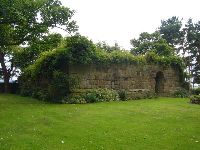
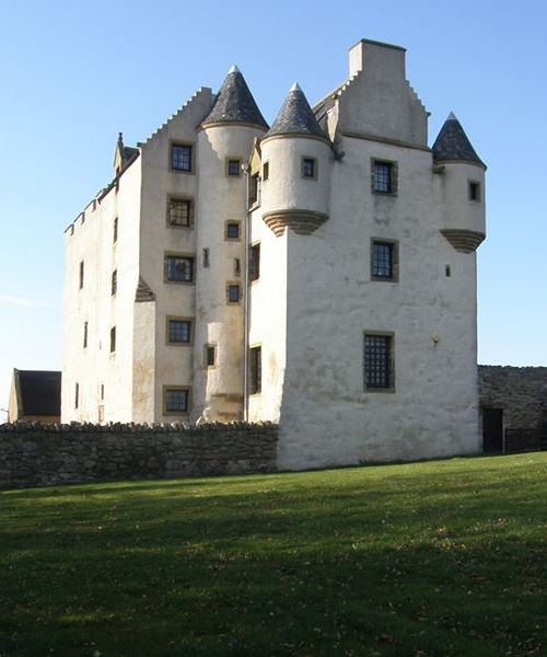
Elphinstone Tower (East Lothian)

Elphinstone Tower is a ruined 13th–15th century keep, about 4 miles (6.4 km) south east of Tranent, East Lothian, Scotland, and 0.5 miles (0.80 km) west...

Elphinstone, East Lothian

Elphinstone is a village in East Lothian, Scotland. It lies 1.6 miles (2.6 km) south-west of Tranent on the B6414, and 1.24 miles (2.00 km) north-west...

Fa'side Castle

Fa'side Castle (Faside Estate) has previously been known as Fawside, Falside, Ffauside, Fauxside, or Fawsyde and is a 15th-century keep located in East...

Elphinstone Research Centre

Elphinstone Research Centre is a medical research centre, part of the Charles River Laboratories, east of Edinburgh, south of Tranent, in East Lothian...

Nearby Amenities

Located within 500m of 55.9192,-2.977597
Design: barrel
Power: tower
Lat/Long: 55.9223472/-2.9764736
Design: three-level
Power: tower
Lat/Long: 55.9218792/-2.9835683
Design: barrel
Power: tower
Lat/Long: 55.9170653/-2.9725803
Design: barrel
Power: tower
Lat/Long: 55.9197351/-2.9745782
Power: pole
Lat/Long: 55.9200167/-2.9708859
Power: pole
Lat/Long: 55.9197458/-2.9720965
Power: pole
Lat/Long: 55.9194606/-2.9733755
Generator Method: wind_turbine
Generator Source: wind
Power: generator
Lat/Long: 55.9192257/-2.9743978
Power: pole
Lat/Long: 55.9190099/-2.9753859
Power: pole
Transformer: distribution
Lat/Long: 55.9186959/-2.9767291
Elphinstone Tower
Historic: ruins
Url: https://canmore.org.uk/site/search/result?NUMLINK=53340&view=map
Lat/Long: 55.9174307/-2.9770052
Power: pole
Transformer: distribution
Lat/Long: 55.9195049/-2.9783545
Power: pole
Lat/Long: 55.9210938/-2.9707582
Power: pole
Lat/Long: 55.9212844/-2.9711808
Power: pole
Lat/Long: 55.921609/-2.9717251
Line Management: termination
Phases: 1
Power: pole
Transformer: distribution
Voltage Primary: 11000
Voltage Secondary: 400
Lat/Long: 55.9218111/-2.9723208
The data included in this document is from www.openstreetmap.org. The data is made available under ODbL.

Have you been to South Elphinstone?

Leave your review of South Elphinstone below (or comments, questions and feedback).