South Duffield
Settlement in Yorkshire Selby
England
South Duffield

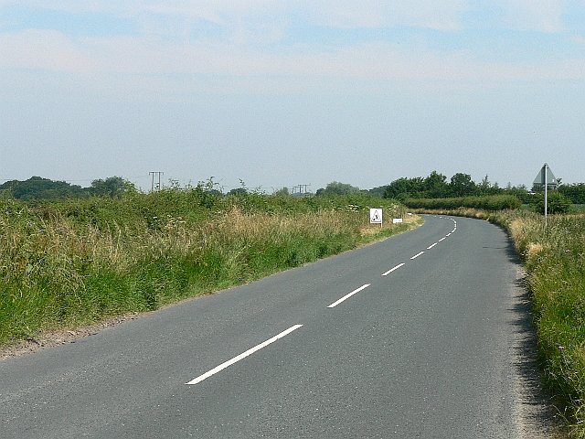
South Duffield is a small village located in the Selby district of Yorkshire, England. Situated about 13 miles south of York, it lies on the banks of the River Derwent and is surrounded by picturesque countryside. With a population of around 500 residents, South Duffield maintains a close-knit community atmosphere.
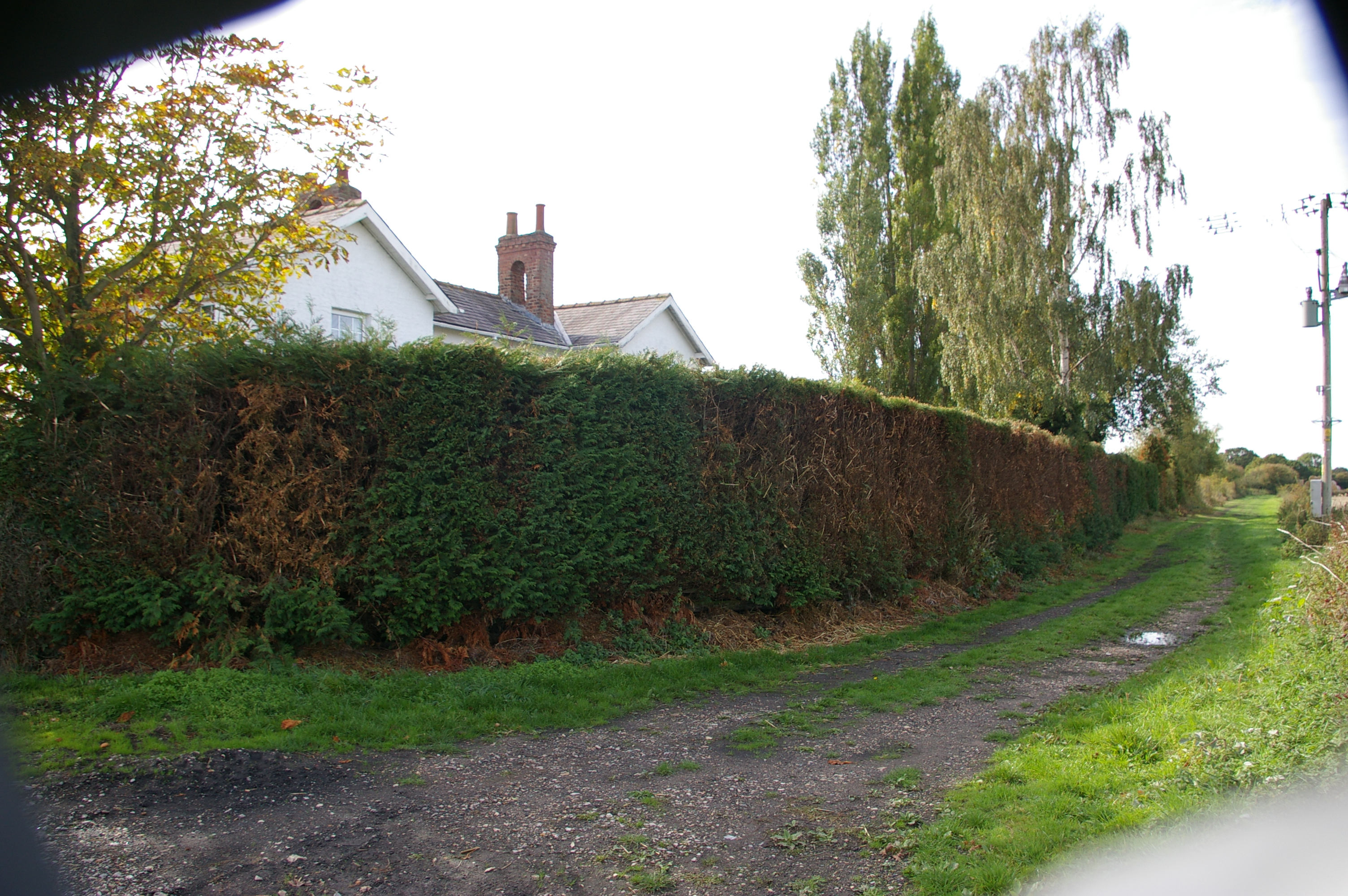
The village boasts a rich history, dating back to the Roman era, as evidenced by the discovery of coins and other artifacts in the area. Today, remnants of its past can be seen in the form of charming old buildings and traditional architecture, such as the Grade II listed St. Helen's Church which dates back to the 12th century.
Despite its small size, South Duffield offers a range of amenities to its residents. The village has a primary school, providing education for children in the local area. Additionally, there is a village hall which serves as a venue for various community events and gatherings. A local pub offers a social hub for residents and visitors alike.
The surrounding countryside provides ample opportunities for outdoor activities. The nearby River Derwent is popular for fishing, and the surrounding fields and woodlands offer scenic walking and cycling routes. The village is also in close proximity to the Selby Canal, providing opportunities for boating and leisurely walks along the towpaths.
Overall, South Duffield is a charming village with a rich history, offering a peaceful and picturesque environment for its residents to enjoy.
If you have any feedback on the listing, please let us know in the comments section below.
South Duffield Images
Images are sourced within 2km of 53.791101/-0.966219 or Grid Reference SE6833. Thanks to Geograph Open Source API. All images are credited.


South Duffield is located at Grid Ref: SE6833 (Lat: 53.791101, Lng: -0.966219)
Division: East Riding
Administrative County: North Yorkshire
District: Selby
Police Authority: North Yorkshire
What 3 Words
///quilt.minds.flippers. Near Hemingbrough, North Yorkshire
Nearby Locations
Related Wikis
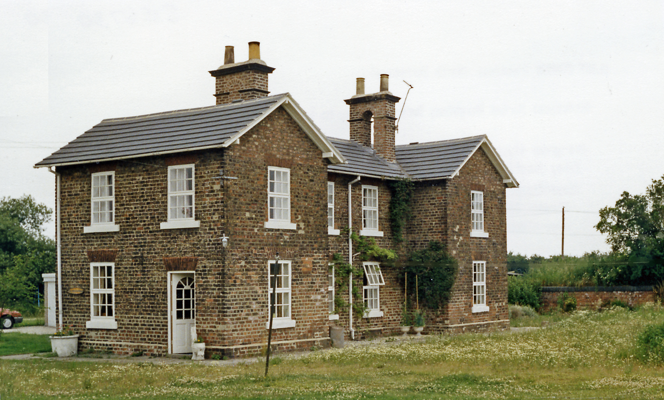
Duffield Gate railway station
Duffield Gate railway station was a station on the Selby to Driffield Line in North Yorkshire, England, serving the hamlet of South Duffield. It opened...
Cliffe Common railway station
Cliffe Common railway station, also known as Cliff Common, formerly Cliff Common Gate, served the village of Cliffe, Selby, England from 1848 to 1964 on...

Menthorpe Gate railway station
Menthorpe Gate railway station was a station on the Selby to Driffield Line in North Yorkshire, England serving the village of North Duffield and the hamlets...

Cliffe, Selby
Cliffe is a small village and civil parish in North Yorkshire, England. It was historically part of the East Riding of Yorkshire until 1974, but from...
Nearby Amenities
Located within 500m of 53.791101,-0.966219Have you been to South Duffield?
Leave your review of South Duffield below (or comments, questions and feedback).