South Clunes
Settlement in Inverness-shire
Scotland
South Clunes
The requested URL returned error: 429 Too Many Requests
If you have any feedback on the listing, please let us know in the comments section below.
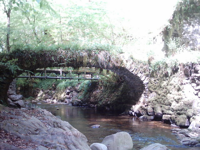
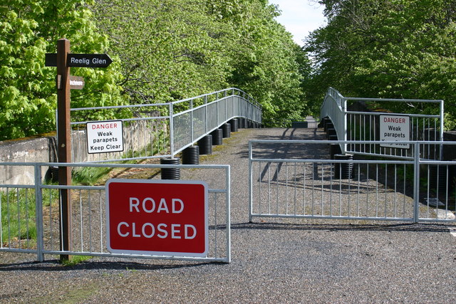
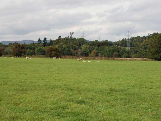
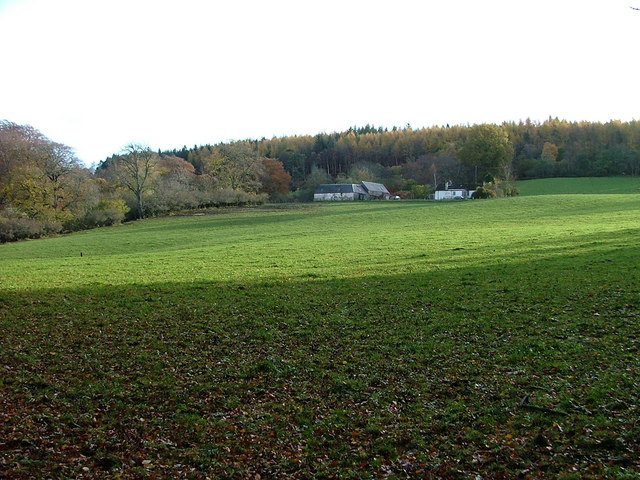
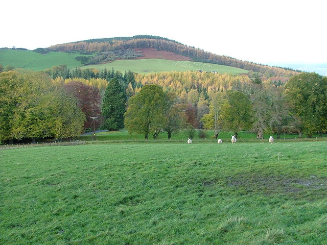
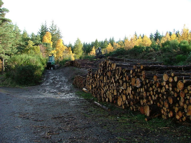
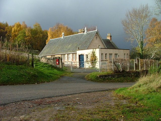
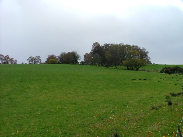
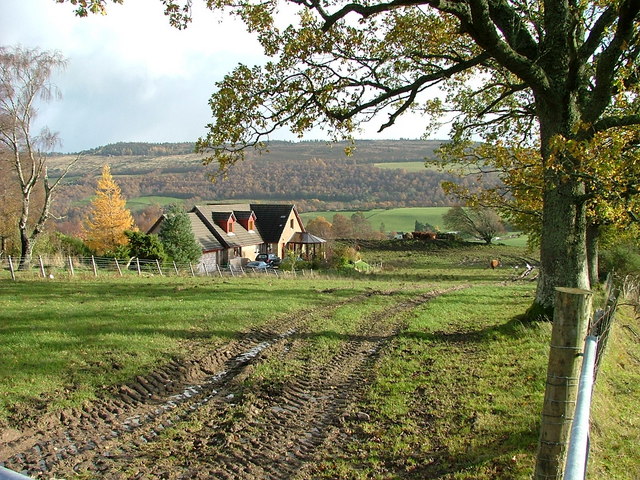
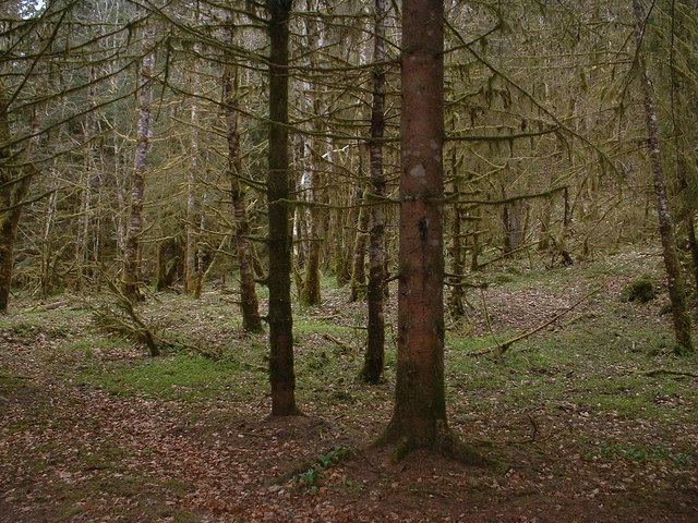
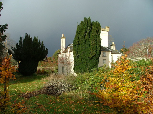
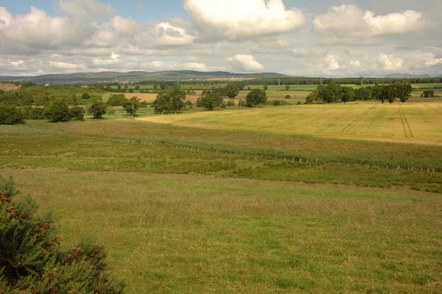
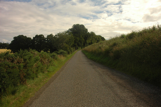
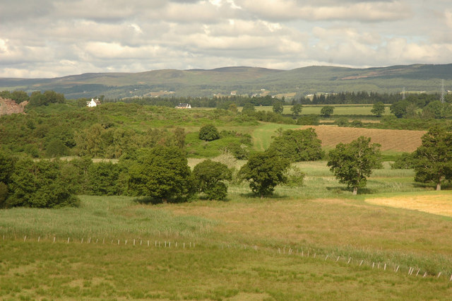
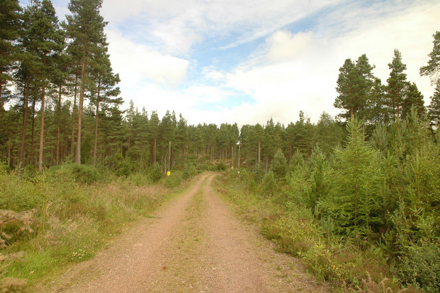
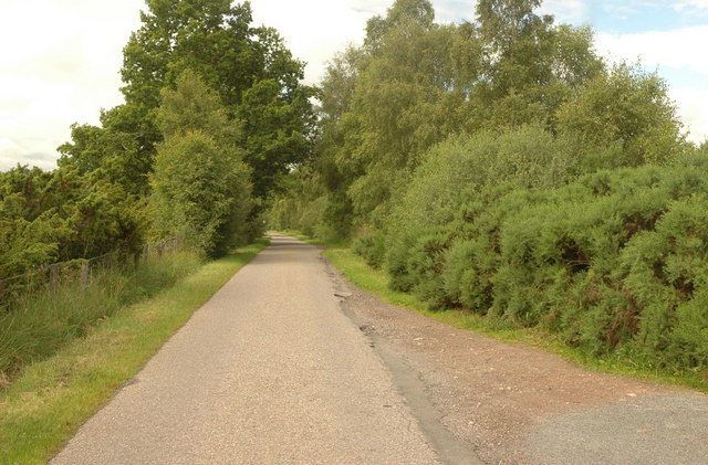
South Clunes Images
Images are sourced within 2km of 57.449848/-4.4091396 or Grid Reference NH5542. Thanks to Geograph Open Source API. All images are credited.

South Clunes is located at Grid Ref: NH5542 (Lat: 57.449848, Lng: -4.4091396)
Unitary Authority: Highland
Police Authority: Highlands and Islands
What 3 Words
///encodes.magazine.sticky. Near Beauly, Highland
Nearby Locations
Related Wikis

The Aird
The Aird (from Scottish Gaelic: An Àird (IPA: [an ˈaːɾʃt̪]) meaning "The High Place") is an area of the County of Inverness, to the west of the City of...

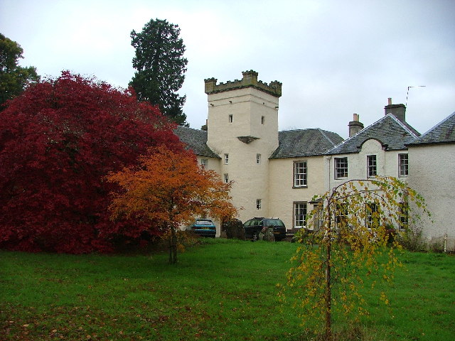
Moniack Castle
Moniack Castle is a 16th-century tower house located 7 miles (11 km) west of Inverness, and just south of Beauly in Highland, Scotland. The castle was...

Cabrich
Cabrich (Scottish Gaelic: Cabarach, meaning "Place of Tree-trunks") is a scattered crofting community in the Highland council area of Scotland. It is 1...

Kirkhill, Highland
Kirkhill (Scottish Gaelic: Cnoc Mhoire, meaning "Big Hill") is a small village and civil parish in the Highland council area of Scotland. It is 10 miles...
Nearby Amenities
Located within 500m of 57.449848,-4.4091396Have you been to South Clunes?
Leave your review of South Clunes below (or comments, questions and feedback).