South Church
Settlement in Durham
England
South Church
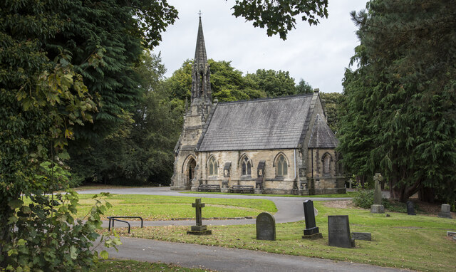
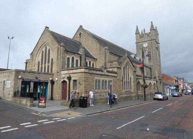
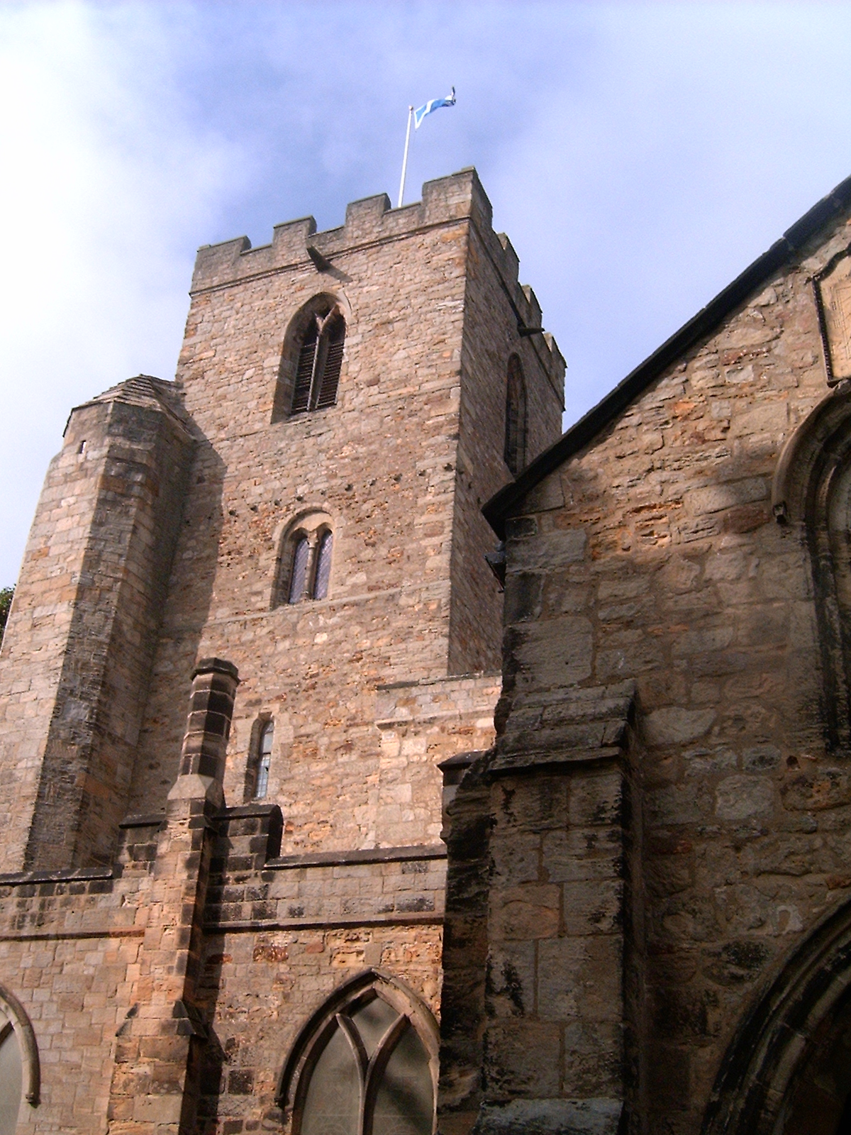
South Church is a historic church located in Durham, a city in the northeast of England. The church is situated in the heart of the city, just a short distance from the River Wear. It is a prominent landmark that has been an integral part of the community for centuries.
The origins of South Church can be traced back to the 12th century when it was first established as a place of worship. Over the years, the church has undergone several renovations and expansions, reflecting different architectural styles such as Gothic and Victorian. The exterior of the church is characterized by its striking stone walls and towering spire, which can be seen from various points in the city.
Inside, South Church boasts a magnificent interior adorned with beautiful stained glass windows, intricate woodwork, and a vaulted ceiling. The church is known for its serene and peaceful atmosphere, providing a tranquil space for worship and contemplation. The building has a seating capacity for a large congregation, and regular services are held throughout the week.
South Church also plays an active role in the community, hosting various events and activities. It is a popular venue for weddings, baptisms, and other religious ceremonies. The church is open to visitors who are interested in its history and architecture, with guided tours available to explore its many features.
Overall, South Church stands as a historic and cultural gem in Durham, offering a glimpse into the city's rich heritage and providing a spiritual haven for both residents and visitors alike.
If you have any feedback on the listing, please let us know in the comments section below.
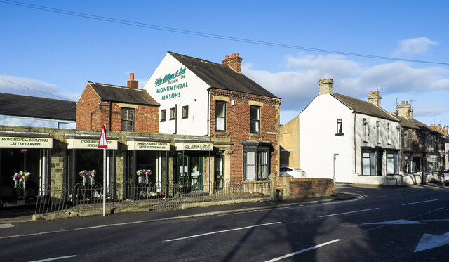
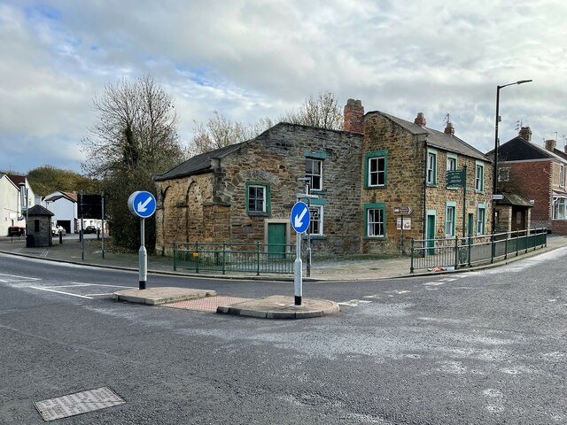
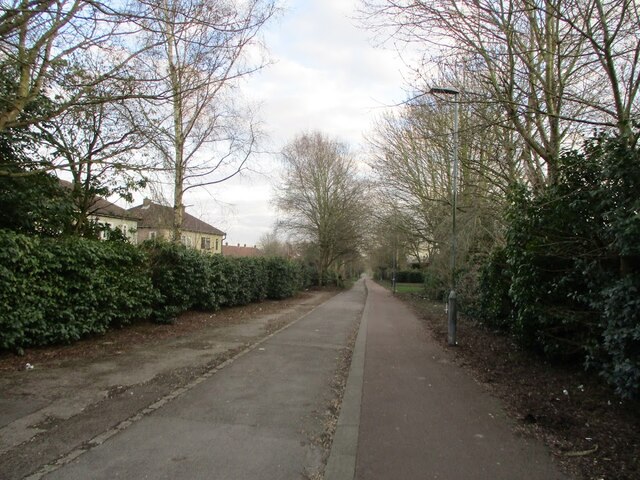
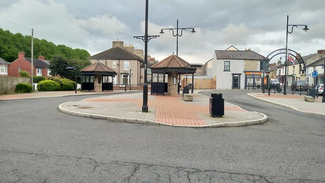
South Church Images
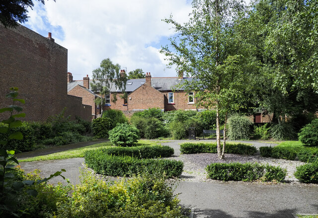
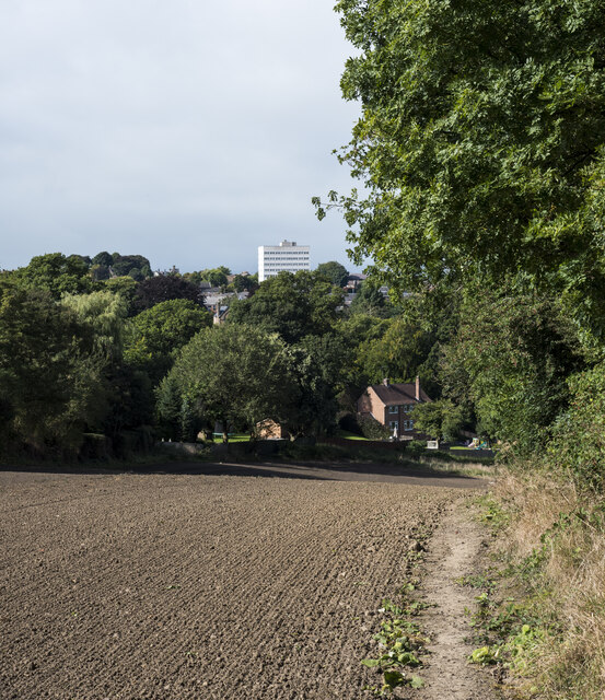
Images are sourced within 2km of 54.647005/-1.659811 or Grid Reference NZ2228. Thanks to Geograph Open Source API. All images are credited.


South Church is located at Grid Ref: NZ2228 (Lat: 54.647005, Lng: -1.659811)
Unitary Authority: County Durham
Police Authority: Durham
What 3 Words
///flames.natively.cards. Near Bishop Auckland, Co. Durham
Nearby Locations
Related Wikis
South Church, County Durham
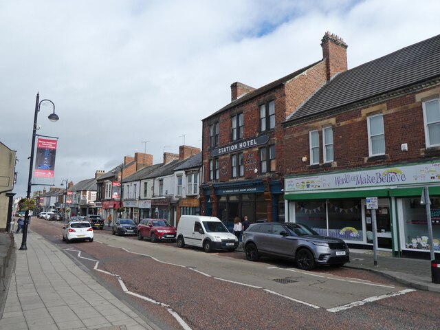
South Church is a village just south of Bishop Auckland in County Durham, England. St Andrew's church is the largest church in County Durham and a Grade...

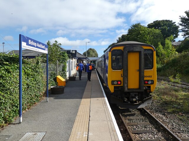
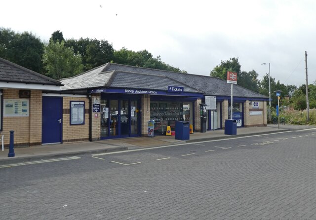
South Church railway station
South Church railway station was on the Stockton and Darlington Railway. == History == The first section of the Bishop Auckland and Weardale Railway, from...

Dene Valley
Dene Valley is a civil parish in County Durham, England. It had a population of 2,478 at the 2011 Census. == References ==

Eldon Lane
Eldon Lane is a village in County Durham, in England. It is situated a few miles south-west of Bishop Auckland, a short distance from Shildon. In 2001...
Coundon Grange
Coundon Grange is a village in County Durham, England. It is situated to the east of Bishop Auckland. In the 2001 census Coundon Grange had a population...
Tunnel Junction railway station
Tunnel Junction railway station co-served the village of Coundon Grange, in the historic county of County Palatine of Durham, England, from 1858 to 1863...

Close House, County Durham
Close House is a village in County Durham, in England. It is situated a short distance to the north of Shildon, near to Eldon and Coundon Grange. In the...
Eldon, County Durham
Eldon is a village in County Durham, England. It is situated a few miles south-west of Bishop Auckland, a short distance from Shildon. It gives its name...
Nearby Amenities
Located within 500m of 54.647005,-1.659811Have you been to South Church?
Leave your review of South Church below (or comments, questions and feedback).