South Cheriton
Settlement in Somerset South Somerset
England
South Cheriton
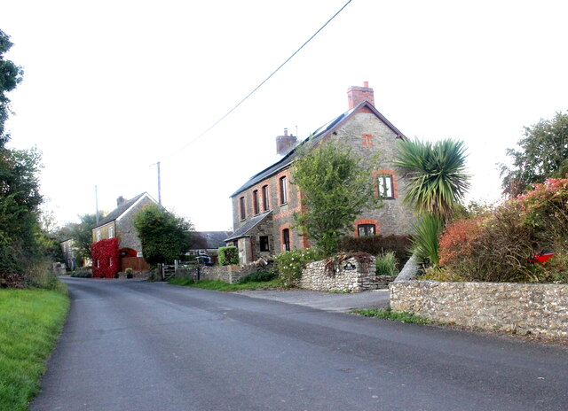
South Cheriton is a small village located in the county of Somerset, England. Situated approximately 3 miles south of Templecombe, it lies within the district of South Somerset. The village is nestled amidst picturesque countryside, offering stunning views and a tranquil atmosphere.
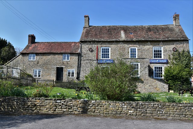
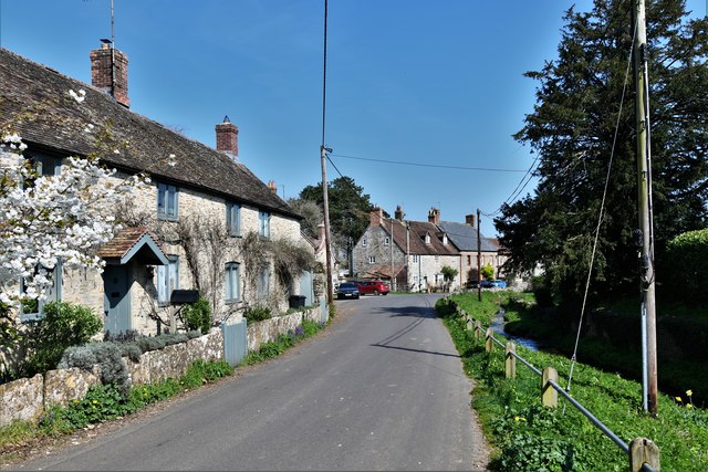
With a population of around 200 residents, South Cheriton epitomizes rural living. The village is characterized by its charming stone cottages and traditional architecture, showcasing the area's rich heritage. The surrounding landscape is primarily farmland, with rolling hills and meadows stretching as far as the eye can see.
Despite its small size, South Cheriton is well-connected to nearby towns and cities. The village benefits from a regular bus service, providing easy access to Templecombe, as well as other local destinations. For those commuting further afield, Templecombe railway station is just a short distance away, offering direct train services to London and other major cities.
South Cheriton boasts a strong sense of community, with several local amenities catering to residents' needs. The village has a primary school, providing education for children up to the age of 11. Additionally, there is a village hall, which serves as a hub for various social events and activities. The nearby town of Templecombe offers a wider range of amenities, including shops, restaurants, and recreational facilities.
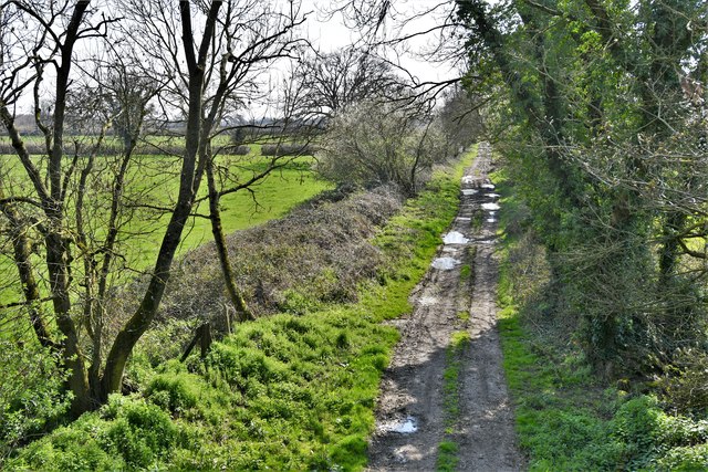
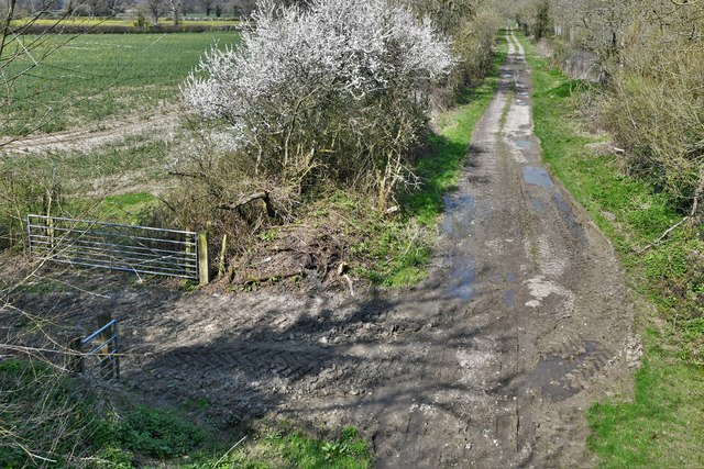
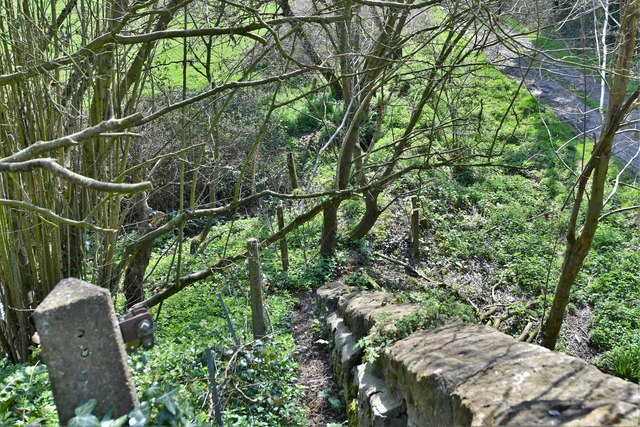
The area surrounding South Cheriton offers plenty of opportunities for outdoor enthusiasts. The village is situated close to the Blackmore Vale, a designated Area of Outstanding Natural Beauty. This provides residents with ample opportunities for walking, cycling, and exploring the beautiful countryside.
In conclusion, South Cheriton is a picturesque village in Somerset, offering a peaceful and idyllic setting for residents. With its strong sense of community and easy access to amenities, it provides a perfect retreat for those seeking a quieter way of life amidst the natural beauty of the English countryside.
If you have any feedback on the listing, please let us know in the comments section below.
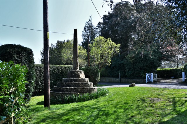
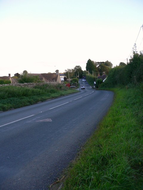
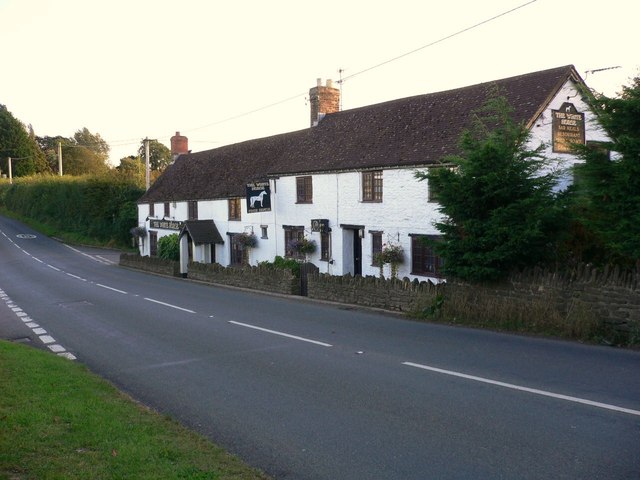
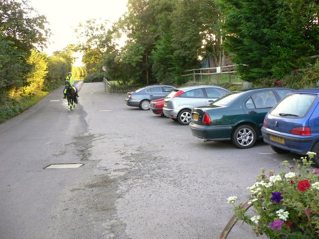
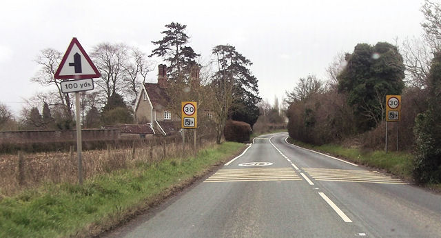
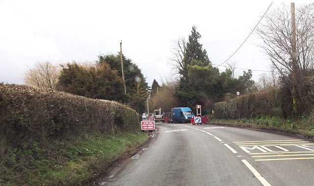
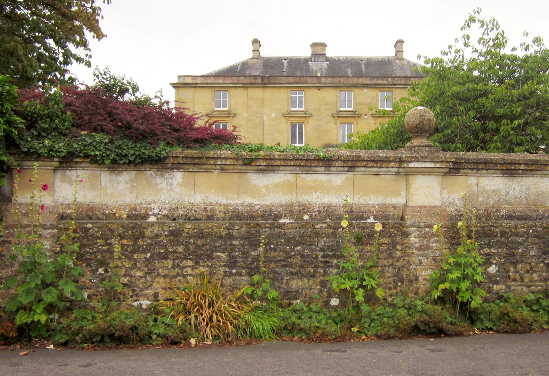
South Cheriton Images
Images are sourced within 2km of 51.018558/-2.434088 or Grid Reference ST6924. Thanks to Geograph Open Source API. All images are credited.


South Cheriton is located at Grid Ref: ST6924 (Lat: 51.018558, Lng: -2.434088)
Administrative County: Somerset
District: South Somerset
Police Authority: Avon and Somerset
What 3 Words
///cutlets.juices.backhand. Near Templecombe, Somerset
Nearby Locations
Related Wikis

Horsington, Somerset
Horsington is a village and Civil parish in Somerset, England, situated 4 miles (6.4 km) south of Wincanton and 1 mile (1.6 km) north of Templecombe in...
Church of St John the Baptist, Horsington
The Anglican Church of St John the Baptist in Horsington, Somerset, England was built in the 15th century and rebuilt between 1885 and 1887. It is a Grade...
Horsington House
Horsington House is a country house in Horsington, near Templecombe in Somerset. It is a stone-built house with pillared porch, built in 1839. It is a...

North Cheriton
North Cheriton is a small village and civil parish in South Somerset with a population of 208. It is located on the A357 south-west of Wincanton. ��2...

Church of St John the Baptist, North Cheriton
The Anglican Church of St John the Baptist in North Cheriton, Somerset, England was built in the 14th century. It is a Grade II* listed building. ��2...

Abbas Combe
Abbas Combe is a village in the civil parish of Abbas and Templecombe, in the county of Somerset, England. It is situated on the A357 road beside Templecombe...

Church of St Mary, Abbas and Templecombe
The Anglican Church of St Mary at Templecombe, within the English county of Somerset, was built in the 12th century and is a Grade II* listed building...

Templecombe railway station
Templecombe railway station serves the town of Templecombe in Somerset, England. It is situated on the West of England Main Line, 112 miles 2 chains (180...
Nearby Amenities
Located within 500m of 51.018558,-2.434088Have you been to South Cheriton?
Leave your review of South Cheriton below (or comments, questions and feedback).