South Charlton

Settlement in Northumberland

England

South Charlton

Fields between South Charlton and North Charlton
Fields between South Charlton and North Charlton Credit: David Dixon

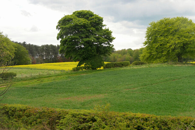
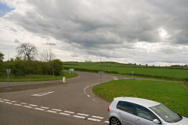
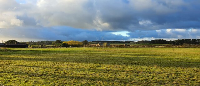
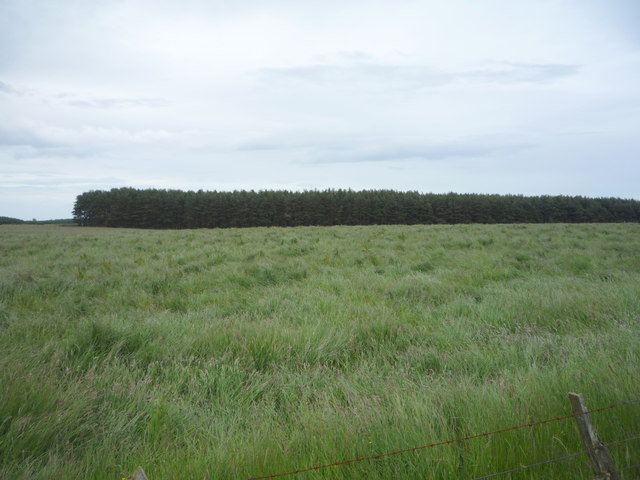
South Charlton is a small village located in Northumberland, England. It is situated approximately 8 miles north of Alnwick and 3 miles south of Bamburgh, making it a convenient location for those looking to explore the Northumberland coast. The village is surrounded by picturesque countryside, including farmland and rolling hills.

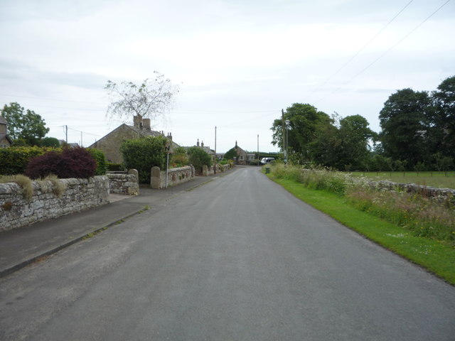
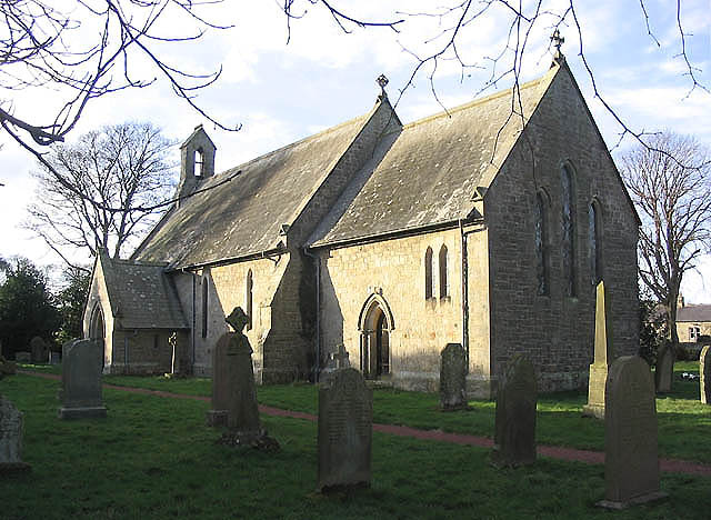
South Charlton is home to a mix of traditional stone-built houses and newer developments, providing a variety of housing options for residents. The village has a close-knit community, with a church, village hall, and a pub serving as focal points for social gatherings and events.

The surrounding area offers plenty of opportunities for outdoor activities, including walking, cycling, and bird watching. The nearby Northumberland coast is known for its stunning beaches and historic castles, such as Bamburgh Castle and Alnwick Castle.

Overall, South Charlton is a peaceful and charming village that offers a rural lifestyle within easy reach of larger towns and attractions in Northumberland.

If you have any feedback on the listing, please let us know in the comments section below.

South Charlton Images

Images are sourced within 2km of 55.476012/-1.741618 or Grid Reference NU1620. Thanks to Geograph Open Source API. All images are credited.

Fields between South Charlton and North Charlton
Patterson's Cottage Boarding Kennels Alongside the northbound A1 near North Charlton.
Patterson's Cottage Boarding Kennels
Alongside the northbound A1 near North Charlton.
B6341/A1 Junction, South Charlton The B6341 (and B6347) join the A1 at South Charlton.
B6341/A1 Junction, South Charlton
The B6341 (and B6347) join the A1 at South Charlton.
South Charlton, Northumberland A bend in the B6341 in the vicinity of South Charlton.
South Charlton, Northumberland
A bend in the B6341 in the vicinity of South Charlton.
South Charlton, Northumberland Late afternoon light falling over pastureland to the south of South Charlton, in the distance Longlee Moor can be seen.
South Charlton, Northumberland
Late afternoon light falling over pastureland to the south of South Charlton, in the distance Longlee Moor can be seen.
Woodland, Linkhall Moor
Track beside woodland, Linkhall Moor
Logging operations, Victory Wood
Cattle grid on Ditchburn Road
Grassland towards Cover Plantation
Ditchburn Road Heading south east towards South Charlton.
Ditchburn Road
Heading south east towards South Charlton.
Grazing, Brockleyhall Moor
Ditchburn Road Heading south east, Brockleyhall Moor.
Ditchburn Road
Heading south east, Brockleyhall Moor.
Heading south east over Brockleyhall Moor Ditchburn Road towards South Charlton.
Heading south east over Brockleyhall Moor
Ditchburn Road towards South Charlton.
Cattle grid on Ditchburn Road Looking south east.
Cattle grid on Ditchburn Road
Looking south east.
Cottage, South Charlton
B6347, South Charlton
Grazing, South Charlton
Show me another place!

South Charlton is located at Grid Ref: NU1620 (Lat: 55.476012, Lng: -1.741618)

Unitary Authority: Northumberland

Police Authority: Northumbria

What 3 Words

///prosper.mailbox.tabs. Near Ellingham, Northumberland

Related Wikis

South Charlton

South Charlton is a small village and former civil parish, now in the parish of Eglingham, in the county of Northumberland, England, five miles (8 km)...

North Charlton

North Charlton is a hamlet and former civil parish, now in the parish of Eglingham, in Northumberland, England. It is situated between Alnwick and Berwick...

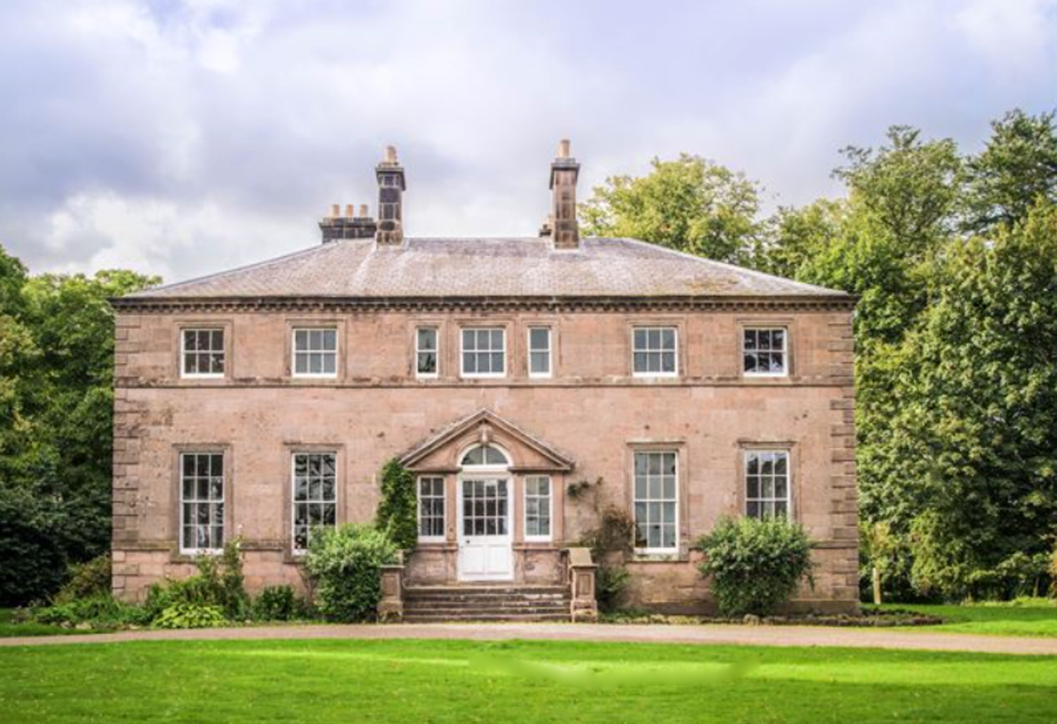
Charlton Hall, Northumberland

Charlton Hall near Ellingham, Northumberland is a building of historical significance and is listed Grade II* on the English Heritage Register. It was...

Brownieside

Brownieside is a hamlet in Northumberland, in England. It is situated between Alnwick and Berwick-upon-Tweed, on the A1 a short distance to the north of...

Nearby Amenities

Located within 500m of 55.476012,-1.741618
South Charlton
Place: hamlet
Wikidata: Q7566790
Lat/Long: 55.475246/-1.7422515
Power: pole
Lat/Long: 55.47189/-1.7415389
Power: pole
Lat/Long: 55.4720949/-1.7396845
Power: pole
Lat/Long: 55.4723233/-1.7378938
Power: pole
Lat/Long: 55.4731461/-1.7366796
Power: pole
Lat/Long: 55.4740102/-1.7354278
Power: pole
Lat/Long: 55.4748712/-1.7343164
Power: pole
Lat/Long: 55.4755443/-1.7350994
Power: pole
Lat/Long: 55.4762136/-1.7359282
Power: pole
Lat/Long: 55.4769135/-1.736736
Power: pole
Lat/Long: 55.4770283/-1.7397103
Power: pole
Lat/Long: 55.4773714/-1.7384114
Power: pole
Lat/Long: 55.4776937/-1.7373125
Power: pole
Lat/Long: 55.4783285/-1.7377552
Power: pole
Lat/Long: 55.4788377/-1.7380878
Power: pole
Lat/Long: 55.4796273/-1.7386627
Kirk Croft
Place: locality
Lat/Long: 55.4778667/-1.7352159
Rocket Hill
Place: locality
Lat/Long: 55.4769476/-1.7491222
Bench
Backrest: yes
Lat/Long: 55.4761453/-1.7411881
Post Box
Post Box Design: ludlow
Post Box Type: wall
Ref: NE66 70
Lat/Long: 55.4759302/-1.7421117
Bench
Backrest: yes
Lat/Long: 55.4752739/-1.74337
The data included in this document is from www.openstreetmap.org. The data is made available under ODbL.

Have you been to South Charlton?

Leave your review of South Charlton below (or comments, questions and feedback).