South Chard
Settlement in Somerset South Somerset
England
South Chard

South Chard is a small village located in the county of Somerset, England. Situated approximately 5 miles southwest of the town of Chard, it falls within the district of South Somerset. The village is nestled in a rural setting, surrounded by picturesque countryside and rolling hills.
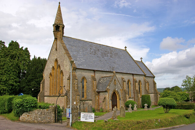
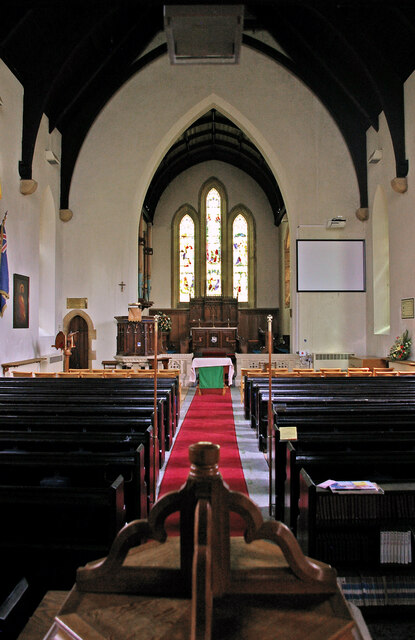
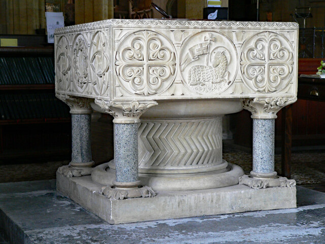
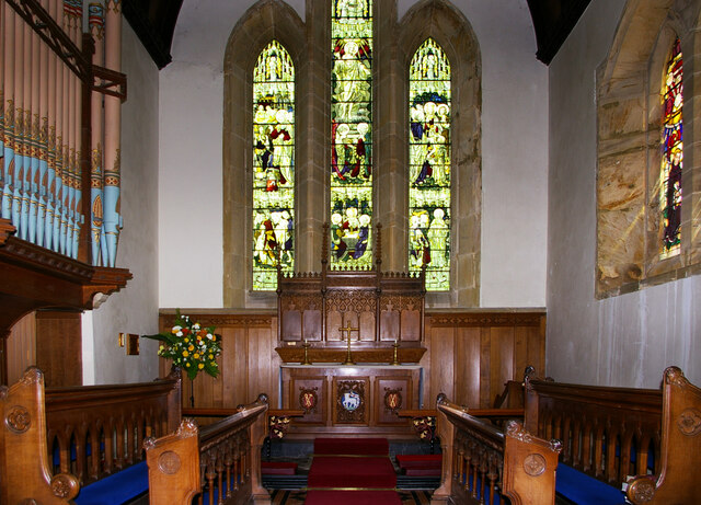
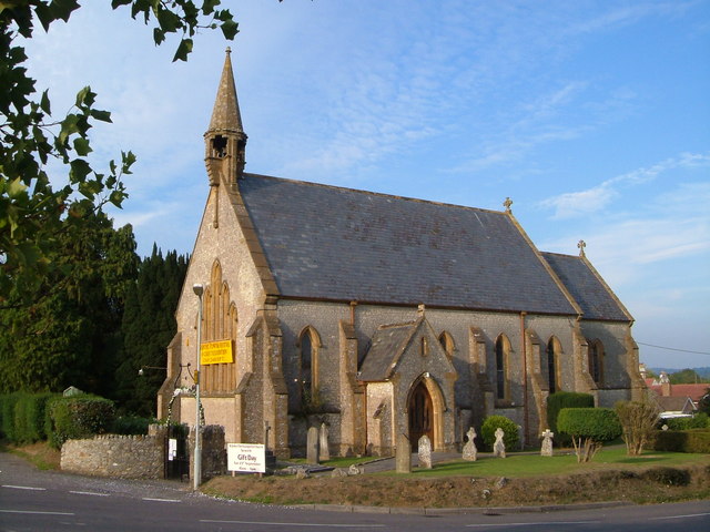
With a population of around 1,000 residents, South Chard maintains a close-knit community atmosphere. The village is characterized by its quaint charm and traditional architecture, with a mix of historic cottages and more modern homes. The local church, St. Mary's, stands as a prominent landmark in the village, dating back several centuries.
While South Chard is predominantly a residential area, it offers a range of amenities to cater to the needs of its residents. The village boasts a primary school, providing education for local children, as well as a community hall that serves as a hub for various social and recreational activities. Additionally, there is a small convenience store and a post office, ensuring that essential goods and services are easily accessible to residents.
The surrounding countryside offers ample opportunities for outdoor pursuits, with numerous walking and cycling trails available for exploration. The nearby Blackdown Hills Area of Outstanding Natural Beauty provides stunning scenery and a tranquil escape from the hustle and bustle of city life.
Overall, South Chard offers a peaceful and idyllic living environment, combining the charm of a rural village with convenient amenities and access to natural beauty.
If you have any feedback on the listing, please let us know in the comments section below.
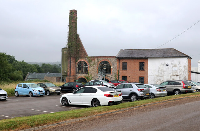
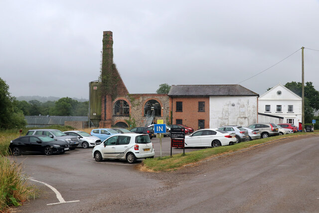
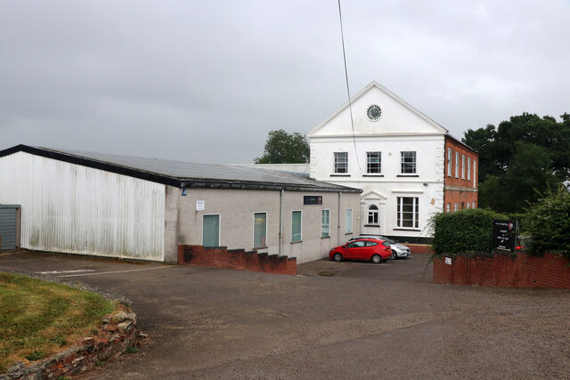
South Chard Images
Images are sourced within 2km of 50.843765/-2.957998 or Grid Reference ST3205. Thanks to Geograph Open Source API. All images are credited.


South Chard is located at Grid Ref: ST3205 (Lat: 50.843765, Lng: -2.957998)
Administrative County: Somerset
District: South Somerset
Police Authority: Avon and Somerset
What 3 Words
///orchestra.mandates.fond. Near Chard, Somerset
Nearby Locations
Related Wikis
Tatworth
Tatworth is a village 2 miles (3 km) south of Chard in the South Somerset district of the county of Somerset, England. It is within Tatworth and Forton...
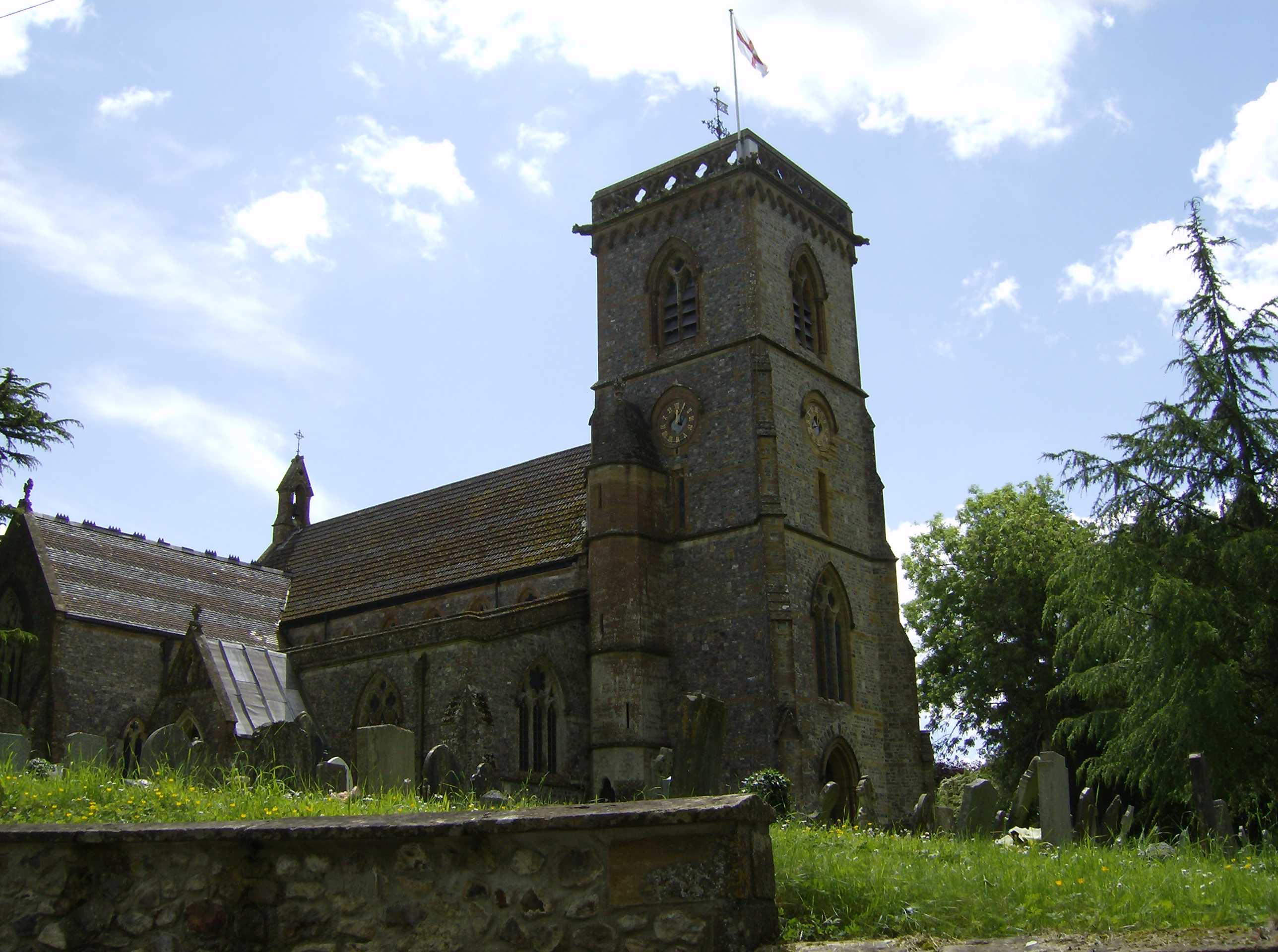
Church of St John the Evangelist, Tatworth
The Church of St John the Evangelist is a Church of England parish church in Tatworth, Somerset, England. It was built in 1850–51 to the design of Charles...

Stowell Meadow
Stowell Meadow (grid reference ST333062) is a 2.8 hectare (6.9 acre) biological Site of Special Scientific Interest near Tatworth in Somerset, notified...

Chard Junction railway station
Chard Junction railway station was situated on the London and South Western Railway’s West of England Main Line about 1 mile (1.6 km) southeast of the...
Chardstock
Chardstock is a village and civil parish located on the eastern border of Devon, England off the A358 road between Chard and Axminster. The parish population...
Tytherleigh
Tytherleigh is a village in the civil parish of Chardstock in Devon, England (historically in Dorset), close to the borders with Dorset and Somerset on...
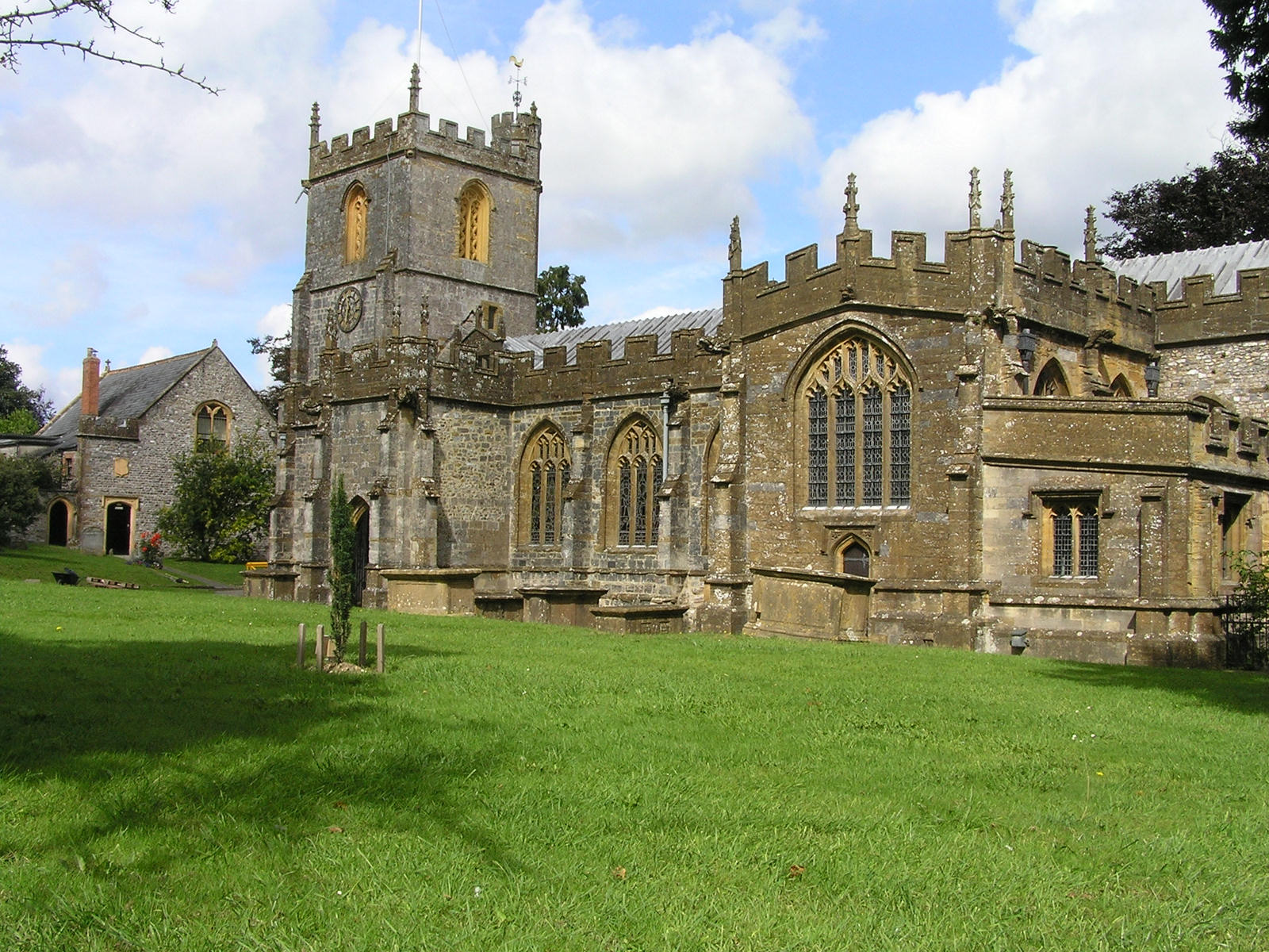
Church of St Mary the Virgin, Chard
The Anglican Church of St Mary the Virgin in Chard, Somerset, England dates from the late 11th century and was rebuilt in the 15th century. It has been...

Holy City, Devon
Holy City is a hamlet in the parish of Chardstock, East Devon, England. It is approximately 5 miles (8.0 km) due north of the town of Axminster, and 4...
Related Videos
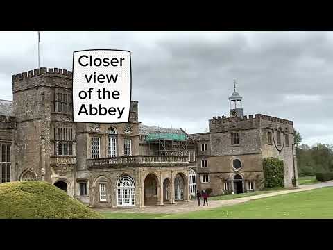
Exploring Forde Abbey part 2
Exploring Forde Abbey part 2 Join me again in exploring the huge garden of Forde Abbey.

Climbing adventure
Weekend adventure rock climbing with a great picnic with great company. So good to have a whole day at this amazing spot and ...


Nearby Amenities
Located within 500m of 50.843765,-2.957998Have you been to South Chard?
Leave your review of South Chard below (or comments, questions and feedback).