South Carlton

Settlement in Nottinghamshire Bassetlaw

England

South Carlton

Balancing pond on the edge of Worksop
Balancing pond on the edge of Worksop Credit: Jonathan Thacker

South Carlton is a small village located in the district of Newark and Sherwood, within the county of Nottinghamshire, England. Situated approximately 10 miles northeast of the city of Nottingham, South Carlton is a predominantly rural area with a population of just over 200 residents.

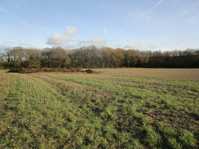
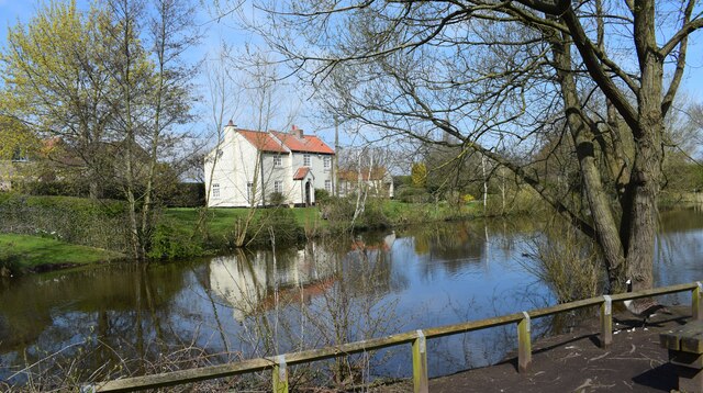
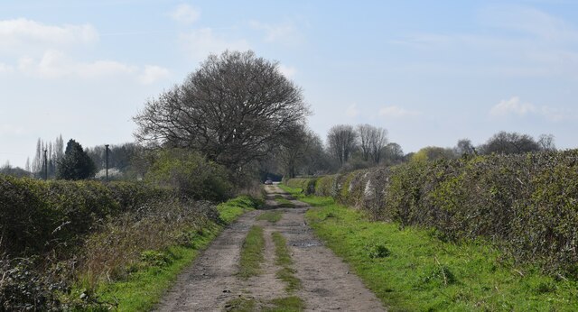
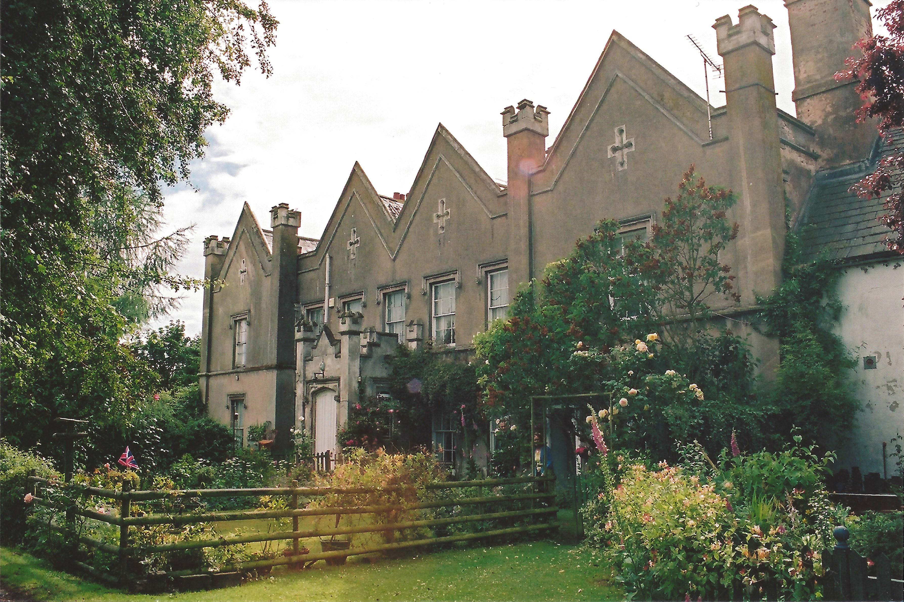
The village is surrounded by picturesque countryside and offers a tranquil setting for its inhabitants. It boasts a close-knit community and a strong sense of local pride. The village is known for its attractive traditional stone cottages, which add to its charm.

Despite its small size, South Carlton is well connected to nearby towns and cities. The A617 road runs through the village, providing easy access to Mansfield and Newark-on-Trent. The nearest railway station is situated in the nearby town of Newark, offering convenient transportation links to other parts of the country.

South Carlton itself does not have many facilities or amenities. However, the village does have a local pub, which serves as a social hub for residents. The surrounding area offers a range of recreational activities, including walking and cycling routes, as well as opportunities for fishing in the nearby River Trent.

In terms of education, South Carlton falls under the catchment area of nearby schools in the surrounding towns and villages, providing quality education for children of all ages.

Overall, South Carlton is a tranquil and picturesque village that offers a peaceful living environment within easy reach of larger towns and cities.

If you have any feedback on the listing, please let us know in the comments section below.

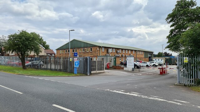
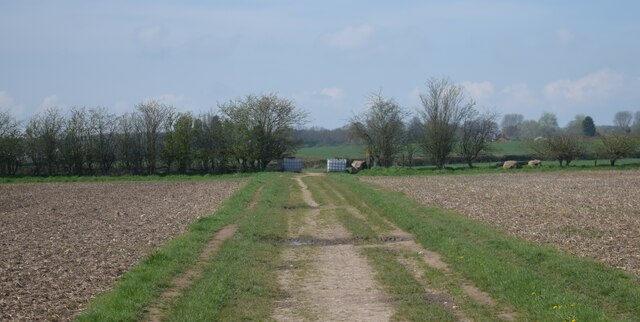
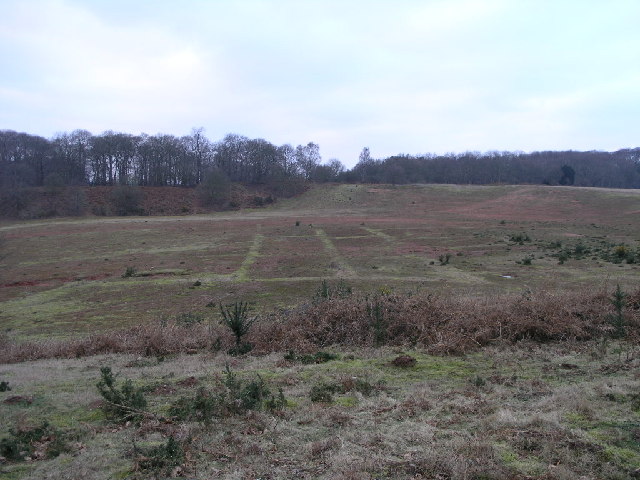
South Carlton Images

Images are sourced within 2km of 53.347347/-1.115189 or Grid Reference SK5983. Thanks to Geograph Open Source API. All images are credited.

Balancing pond on the edge of Worksop
Isolated tree Stands by a footpath to South Carlton.
Isolated tree
Stands by a footpath to South Carlton.
Footpath to South Carlton
Farm track to Broom Farm
Nab's Ashes Wood
Nab's Ashes Wood
Fallen tree, Nab's Ashes Wood
Path around a balancing pond Nab's Ashes Wood ahead.
Path around a balancing pond
Nab's Ashes Wood ahead.
New housing on the edge of Worksop
Village pond in North Carlton. Beautifully peaceful spot.
Village pond in North Carlton.
Beautifully peaceful spot.
Track to North Carlton. A Nottinghamshire walk.
Track to North Carlton.
A Nottinghamshire walk.
Warning sign on Hundred Acre Lane Surely ice is not a problem in mid-August? A little surprising that the sign has not been folded as intended, especially as the local council have a work yard just a few feet away.
Warning sign on Hundred Acre Lane
Surely ice is not a problem in mid-August? A little surprising that the sign has not been folded as intended, especially as the local council have a work yard just a few feet away.
Carlton Forest House, Hundred Acre Lane Bassetlaw District Council offices and workshops
Carlton Forest House, Hundred Acre Lane
Bassetlaw District Council offices and workshops
Footpath between fields. Walking from Hodsock.
Footpath between fields.
Walking from Hodsock.
Old Sand Quarry This disused sand quarry just off the B6045 has some strange markings in the bottom.
Old Sand Quarry
This disused sand quarry just off the B6045 has some strange markings in the bottom.
Fields and Trees These fields lie between Carlton and Hodsock Priory.
Fields and Trees
These fields lie between Carlton and Hodsock Priory.
Footpath and Fields The footpath leads to Carlton village, the trees in the background are known as Alder Plantation.
Footpath and Fields
The footpath leads to Carlton village, the trees in the background are known as Alder Plantation.
Battered gate on Crossley Hill Lane
Dumping grounds on Red Lane near Worksop The area around here looks like a favourite dumping ground for garden type waste.
Dumping grounds on Red Lane near Worksop
The area around here looks like a favourite dumping ground for garden type waste.
Show me another place!

South Carlton is located at Grid Ref: SK5983 (Lat: 53.347347, Lng: -1.115189)

Administrative County: Nottinghamshire

District: Bassetlaw

Police Authority: Nottinghamshire

What 3 Words

///stalemate.plod.conned. Near Woodsetts, South Yorkshire

Related Wikis

St John the Evangelist's Church, Carlton in Lindrick

St John the Evangelist's Church is a Grade I listed parish church in the Church of England in Carlton in Lindrick, Nottinghamshire.Situated in Catlton...

Wigthorpe

Wigthorpe is a hamlet in the civil parish of Carlton in Lindrick, in the Bassetlaw district lying to the north of Worksop, England. == References ==

Carlton in Lindrick

Carlton in Lindrick is a village and civil parish about 3 miles (5 km) north of Worksop in Nottinghamshire, England. The 2011 Census recorded a parish...

Wallingwells

Wallingwells is a small civil parish and hamlet in the Bassetlaw district of Nottinghamshire, England, with a population at the 2001 census of 22. The...

Costhorpe

Costhorpe is a hamlet in the civil parish of Carlton in Lindrick, in the Bassetlaw district in Nottinghamshire, England. It is to the north of Worksop...
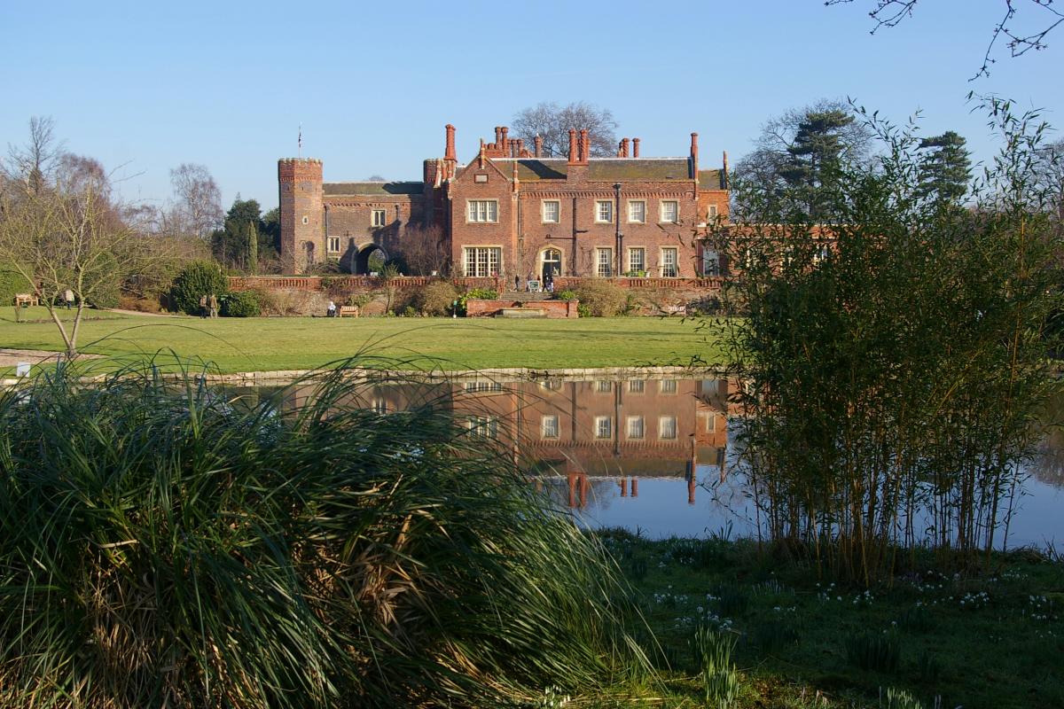
Hodsock Priory

Hodsock Priory is an English country house in Hodsock, Nottinghamshire, 4 miles (6.4 km) north of Worksop, England, and 1 mile (1.6 km) south of Blyth...

Hodsock

Hodsock is a settlement and civil parish about 4 miles from Worksop, in the Bassetlaw district, in the county of Nottinghamshire, England. The parish includes...

Gateford

Gateford is a village in Nottinghamshire, England. It is located 1 mile north-west of Worksop and was first recorded by name as Gattef (meaning goats’...

Nearby Amenities

Located within 500m of 53.347347,-1.115189
Wigthorpe
Created By: Potlatch 0.10f
Is In: Nottinghamshire, United Kingdom
Place: hamlet
Lat/Long: 53.3450861/-1.1105311
Bus Stop
Primary School
Naptan AtcoCode: 3300BA0048
Naptan Bearing: SW
Naptan CommonName: Primary School
Naptan Indicator: opp
Naptan Landmark: Primary School
Naptan NaptanCode: ntsgataj
Naptan Notes: none
Naptan Street: High Road
Naptan Verified: no
Source: naptan_import
Lat/Long: 53.3513707/-1.1144709
Bus Stop
Church Lane
Naptan AtcoCode: 3300BA0138
Naptan Bearing: NE
Naptan CommonName: Church Lane
Naptan Crossing: Church Lane
Naptan Indicator: adj
Naptan NaptanCode: ntsgawdj
Naptan Notes: none
Naptan Street: High Road
Naptan Verified: no
Source: naptan_import
Lat/Long: 53.3508894/-1.1150218
Bus Stop
Wigthorpe Lane
Naptan AtcoCode: 3300BA0192
Naptan Bearing: S
Naptan CommonName: Wigthorpe Lane
Naptan Crossing: Wigthorpe Lane
Naptan Indicator: adj
Naptan NaptanCode: ntsdgptg
Naptan Notes: none
Naptan Street: Carlton Road
Naptan Verified: no
Source: naptan_import
Lat/Long: 53.3465977/-1.1145098
Bus Stop
Wigthorpe Lane
Naptan AtcoCode: 3300BA0968
Naptan Bearing: N
Naptan CommonName: Wigthorpe Lane
Naptan Crossing: Wigthorpe Lane
Naptan Indicator: opp
Naptan NaptanCode: ntsgmgdw
Naptan Notes: 3300BA0192
Naptan Street: Carlton Road
Naptan Verified: no
Source: naptan_import
Lat/Long: 53.3466711/-1.1147035
Generator Method: photovoltaic
Generator Output Electricity: yes
Generator Source: solar
Generator Type: solar_photovoltaic_panel
Location: roof
Power: generator
Lat/Long: 53.3496212/-1.1163324
Generator Method: photovoltaic
Generator Output Electricity: yes
Generator Source: solar
Generator Type: solar_photovoltaic_panel
Location: roof
Power: generator
Lat/Long: 53.3473892/-1.1163056
Generator Method: photovoltaic
Generator Output Electricity: yes
Generator Source: solar
Generator Type: solar_photovoltaic_panel
Location: roof
Power: generator
Lat/Long: 53.3472019/-1.1186445
Post Box
Collection Times: Mo-Fr 09:00; Sa 07:00
Operator: Royal Mail
Post Box Type: wall
Ref: S81 10
Royal Cypher: VR
Royal Cypher Wikidata: Q33102356
Lat/Long: 53.3473149/-1.1149154
Barrier: stile
Step Count: 3
Stile: stepover
Lat/Long: 53.3466855/-1.1147853
Parking
Capacity: 8
Parking: surface
Lat/Long: 53.3490504/-1.1178171
Defibrillator
Access: yes
Defibrillator Location: On the outside wall of the parish centre.
Emergency: defibrillator
Indoor: no
Ref GB The Circuit: CEC300CE-64A9-4C91-B03D-AC9300C21748
Lat/Long: 53.3493086/-1.1171402
Building: entrance
Lat/Long: 53.3487689/-1.1179761
Historic: memorial
Memorial: war_memorial
Lat/Long: 53.3503564/-1.1152774
Bench
Backrest: yes
Lat/Long: 53.3503782/-1.1153326
Bench
Backrest: yes
Lat/Long: 53.3489653/-1.1176545
The data included in this document is from www.openstreetmap.org. The data is made available under ODbL.

Have you been to South Carlton?

Leave your review of South Carlton below (or comments, questions and feedback).