South Cardonald
Settlement in Renfrewshire
Scotland
South Cardonald

South Cardonald is a residential area located in the Renfrewshire council area in West Central Scotland. It is situated approximately 5 miles west of Glasgow city center and is bordered by the areas of Cardonald, Hillington, and Mosspark.
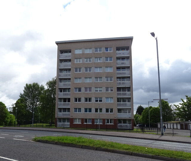
The neighborhood is primarily residential, consisting of a mix of housing types including traditional tenements, semi-detached houses, and modern apartment complexes. South Cardonald offers a range of amenities, including local shops, supermarkets, and small businesses that cater to the needs of its residents. There are also several parks and green spaces within the area, providing opportunities for outdoor activities and recreational pursuits.
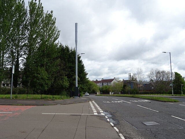
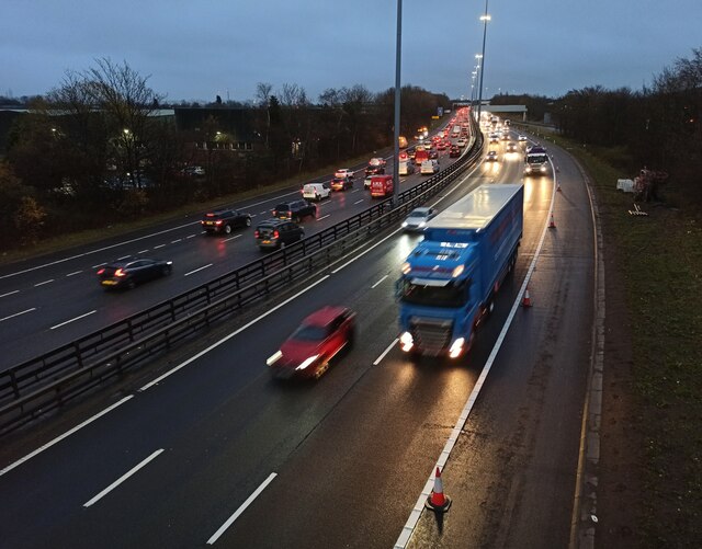
The transport links in South Cardonald are well-developed, with regular bus services connecting the area to Glasgow city center and other nearby towns. The M8 motorway, which runs adjacent to South Cardonald, provides easy access to the wider region and beyond.
South Cardonald is home to a number of educational institutions, including primary and secondary schools, ensuring that families have access to quality education for their children within the local community.
Overall, South Cardonald offers a peaceful and family-friendly environment, with convenient access to amenities, good transport links, and a range of housing options. It is a popular choice for those seeking a suburban lifestyle while still being within easy reach of the city center.
If you have any feedback on the listing, please let us know in the comments section below.
South Cardonald Images
Images are sourced within 2km of 55.841945/-4.3448776 or Grid Reference NS5363. Thanks to Geograph Open Source API. All images are credited.


South Cardonald is located at Grid Ref: NS5363 (Lat: 55.841945, Lng: -4.3448776)
Unitary Authority: City of Glasgow
Police Authority: Greater Glasgow
What 3 Words
///refuse.studio.filer. Near Renfrew, Renfrewshire
Nearby Locations
Related Wikis
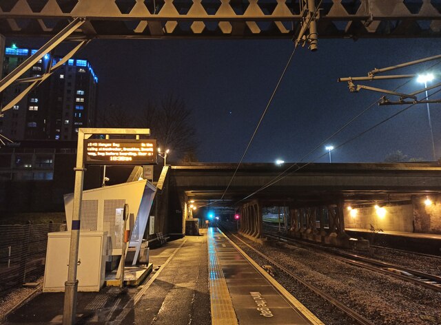
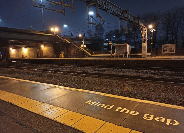
Mosspark railway station
Mosspark railway station serves the Pollok and Cardonald areas of Glasgow, Scotland. The station is on the Paisley Canal Line, 3¾ miles (6 km) west of...

Lourdes Secondary School
Lourdes Secondary School, established in 1956, is a school in the south-west of Glasgow which serves a large catchment area, including the communities...
Cardonald Place Farm
Cardonald Place Farm is a farmhouse on the banks of the White Cart Water river in Cardonald, Glasgow, Scotland. It was built in 1848 on (or close to) the...
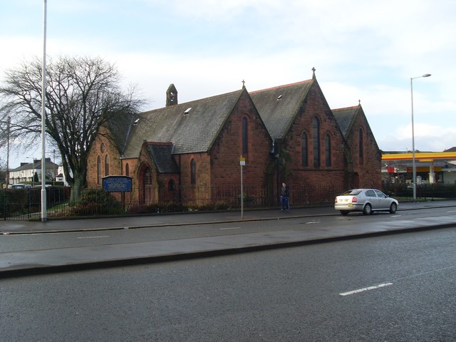
Cardonald Parish Church
Cardonald Parish Church is a 19th-century Parish church of the Church of Scotland, located in the Cardonald area of Glasgow. == History of the Congregation... ==
Halfway, Glasgow
Halfway, also known as Halfwayhouse (Scottish Gaelic: Taigh Letheach Slighe), is a neighbourhood on the south-west side of the city of Glasgow, Scotland...
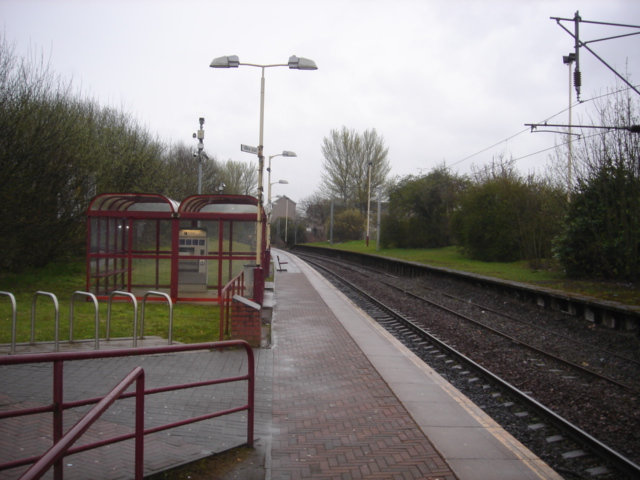
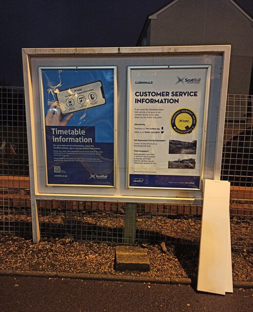
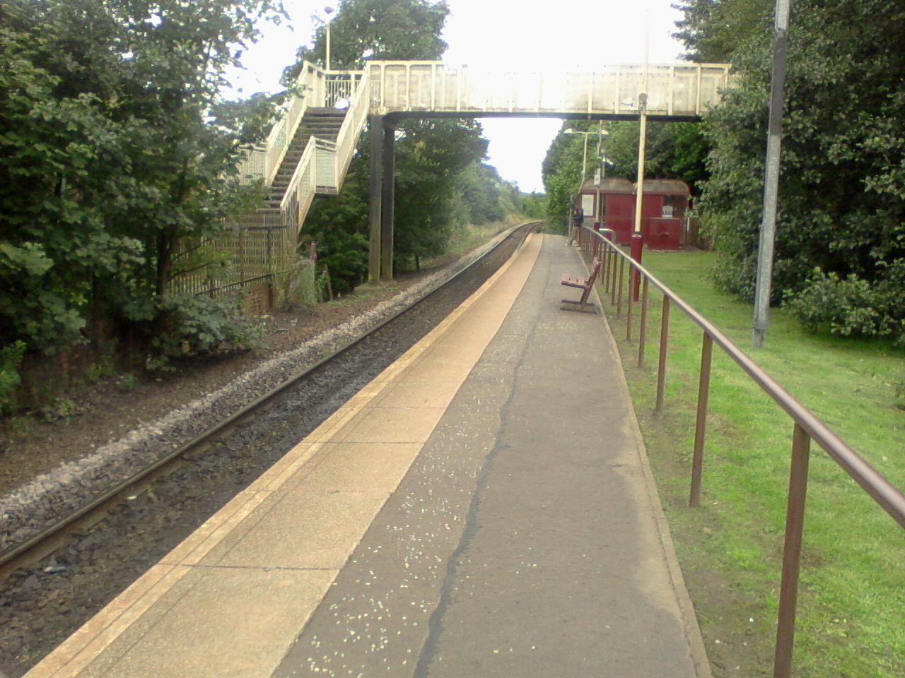
Corkerhill railway station
Corkerhill railway station serves the Corkerhill and Mosspark neighbourhoods of Glasgow, Scotland. The station is managed by ScotRail and lies on the Paisley...
St James' (Pollok) Parish Church
St James' Parish Church is a 19th-century parish church of the Church of Scotland in the Pollok area of Glasgow. == History == The church was originally...

Craigton Cemetery
Craigton Cemetery is a cemetery in south-west Glasgow dating from the mid-19th century. It stands on Berryknowes Road. The cemetery has a Jewish section...
Nearby Amenities
Located within 500m of 55.841945,-4.3448776Have you been to South Cardonald?
Leave your review of South Cardonald below (or comments, questions and feedback).