South Broomage
Settlement in Stirlingshire
Scotland
South Broomage

South Broomage is a residential area located in Stirlingshire, Scotland. It is situated near the town of Larbert and is known for its quiet and suburban atmosphere. The area is primarily made up of detached and semi-detached houses, as well as some apartment buildings.
South Broomage is well-connected to the surrounding areas, with easy access to major roads such as the M9 and M876, making it convenient for commuters to travel to nearby cities such as Glasgow and Edinburgh. There are also several bus routes that run through the area, providing residents with public transportation options.
In terms of amenities, South Broomage has a few local shops and restaurants within walking distance, as well as several parks and green spaces for outdoor recreation. The area is also close to schools, making it an ideal location for families with children.
Overall, South Broomage offers a peaceful and picturesque setting for residents looking to live in a suburban neighborhood while still having access to urban conveniences.
If you have any feedback on the listing, please let us know in the comments section below.
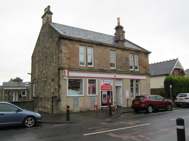
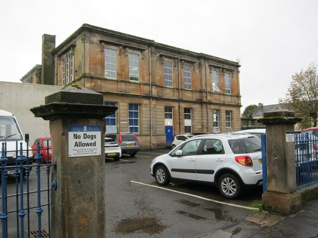
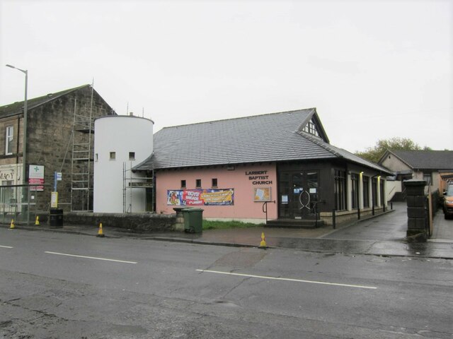
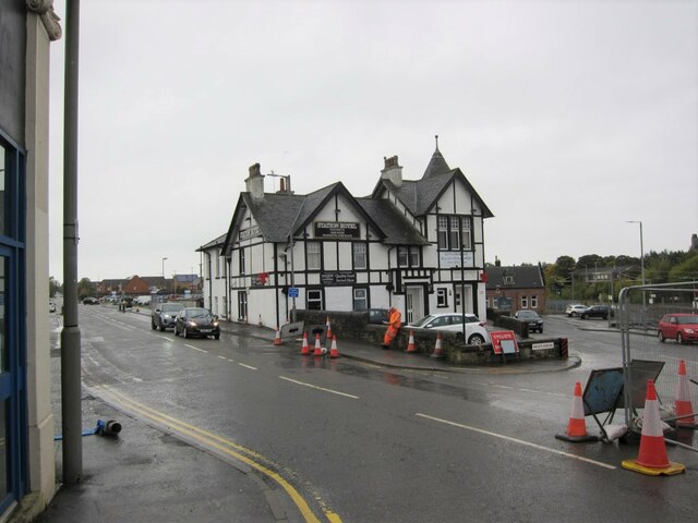
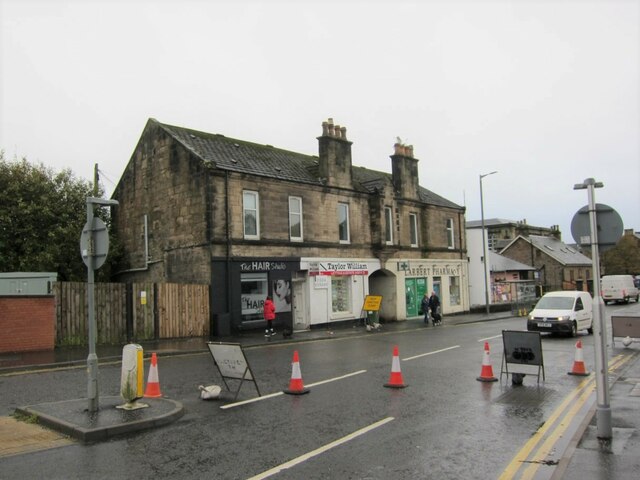
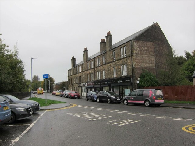
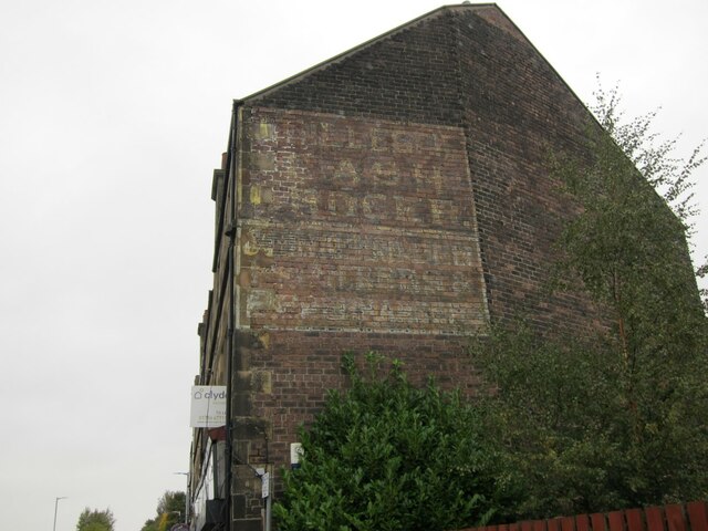
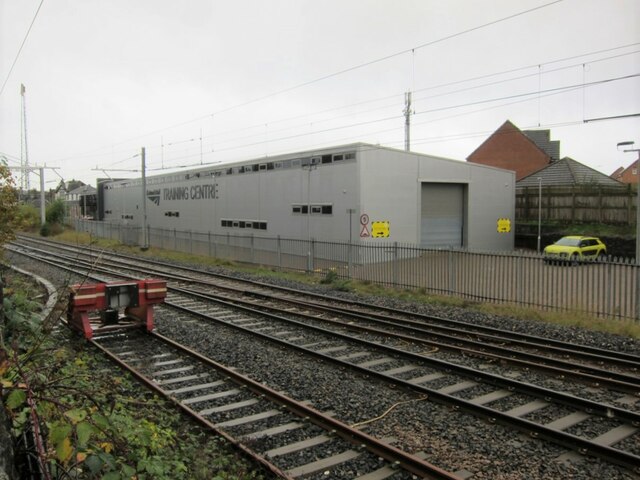
South Broomage Images
Images are sourced within 2km of 56.022361/-3.8287513 or Grid Reference NS8682. Thanks to Geograph Open Source API. All images are credited.


South Broomage is located at Grid Ref: NS8682 (Lat: 56.022361, Lng: -3.8287513)
Unitary Authority: Falkirk
Police Authority: Forth Valley
What 3 Words
///boards.multiples.width. Near Larbert, Falkirk
Nearby Locations
Related Wikis

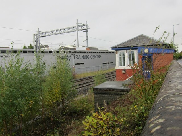
Larbert railway station
Larbert railway station is a railway station serving Larbert near Falkirk, Scotland. == History == The station was built by the Scottish Central Railway...

Larbert
Larbert (Scottish Gaelic: Leth-Pheairt, Scots: Lairbert) is a town in the Falkirk council area of Scotland. The town lies in the Forth Valley above the...

Carronvale House
Carronvale House is a category A listed country house in Larbert, Stirlingshire, Scotland. It is a large two-storey house with neo-Georgian details. Its...
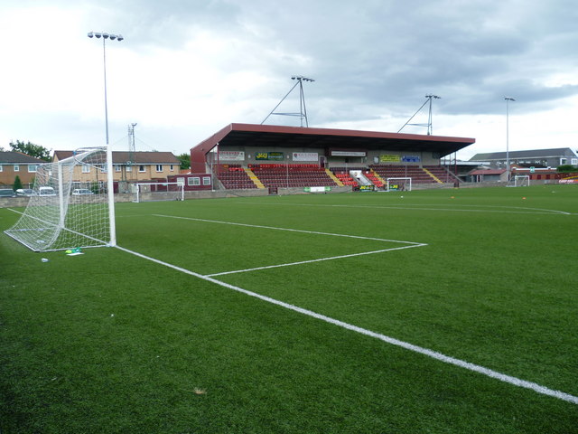
Ochilview Park
Ochilview Park is a football stadium in Stenhousemuir in the Falkirk council area of Scotland. It is the home ground of Scottish League Two club Stenhousemuir...
Nearby Amenities
Located within 500m of 56.022361,-3.8287513Have you been to South Broomage?
Leave your review of South Broomage below (or comments, questions and feedback).