Bletherston

Settlement in Pembrokeshire

Wales

Bletherston

Ordnance Survey Cut Mark This OS cut mark can be found on the gatepost west side of the road. It marks a point 30.181m above mean sea level.
Ordnance Survey Cut Mark Credit: Adrian Dust

The requested URL returned error: 429 Too Many Requests

If you have any feedback on the listing, please let us know in the comments section below.
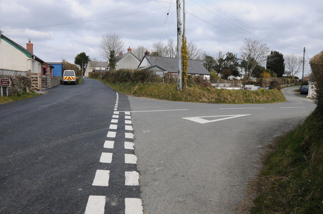
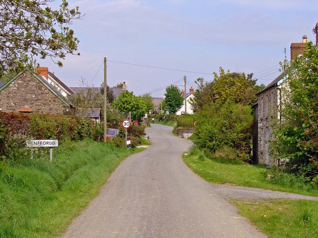
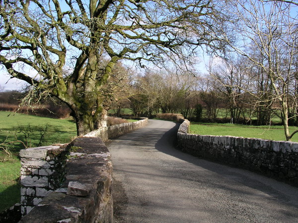
Bletherston Images

Images are sourced within 2km of 51.85643/-4.802519 or Grid Reference SN0721. Thanks to Geograph Open Source API. All images are credited.

Ordnance Survey Cut Mark This OS cut mark can be found on the gatepost west side of the road. It marks a point 30.181m above mean sea level.
Ordnance Survey Cut Mark
This OS cut mark can be found on the gatepost west side of the road. It marks a point 30.181m above mean sea level.
Ordnance Survey Cut Mark This OS cut mark can be found on the NE angle of St Mary's Church. It marks a point 68.434m above mean sea level.
Ordnance Survey Cut Mark
This OS cut mark can be found on the NE angle of St Mary's Church. It marks a point 68.434m above mean sea level.
Longridge Farm Abandoned farm near Clunderwen.
Longridge Farm
Abandoned farm near Clunderwen.
Abandoned farm buildings The old Longridge dairy farm.
Abandoned farm buildings
The old Longridge dairy farm.
Abandoned farm at Longridge
Ford across Afon Syfni Towards Bletherston.
Ford across Afon Syfni
Towards Bletherston.
Pasture and trees on the banks of Afon Syfni
Farm entrance Leading to Spring Hill and Summers Hill.
Farm entrance
Leading to Spring Hill and Summers Hill.
Field gateway Footpath to New Mill.
Field gateway
Footpath to New Mill.
Bletherston Ford This ford on Afon Syfni is found near Bletherston.
Bletherston Ford
This ford on Afon Syfni is found near Bletherston.
Approaching Gelli Road passing houses as it descends into Gelli.
Approaching Gelli
Road passing houses as it descends into Gelli.
Field near Longridge Field near Longridge Farm near Gelli.
Field near Longridge
Field near Longridge Farm near Gelli.
Longridge Road The country road named Longridge Road briefly enters the south-west corner of this grid square.
Longridge Road
The country road named Longridge Road briefly enters the south-west corner of this grid square.
Bletherston church Bletherston church is dedicated to St Mary.
Bletherston church
Bletherston church is dedicated to St Mary.
Bletherston church Entrance gate to St Mary's church, Bletherston.
Bletherston church
Entrance gate to St Mary's church, Bletherston.
Farmland at Bletherston View across farmland at Bletherston to the Preseli Hills in the distance.
Farmland at Bletherston
View across farmland at Bletherston to the Preseli Hills in the distance.
Bridge near Rhydd-y-brown Bridge over a stream near Rhydd-y-brown to the north of Bletherston.
Bridge near Rhydd-y-brown
Bridge over a stream near Rhydd-y-brown to the north of Bletherston.
Road junction in Penffordd Road junction in the hamlet of Penffordd.
Road junction in Penffordd
Road junction in the hamlet of Penffordd.
Show me another place!

Bletherston is located at Grid Ref: SN0721 (Lat: 51.85643, Lng: -4.802519)

Unitary Authority: Pembrokeshire

Police Authority: Dyfed Powys

Also known as: Trefelen

What 3 Words

///appealing.dull.habits. Near Wiston, Pembrokeshire

Nearby Locations

Trefelen Bletherston

Related Wikis

Penffordd, Pembrokeshire

Penffordd or Pen-ffordd is a small village in the community of New Moat, Pembrokeshire, Wales, in the parish of Bletherston. It lies approximately 10.8...

Bletherston

Bletherston (Welsh: Trefelen) is a small settlement and parish in Pembrokeshire, Wales. It is in the middle of eastern Pembrokeshire, 6 miles (9.7 km)...

Gelli, Pembrokeshire

Gelli is a small settlement in the community and parish of Llawhaden, Pembrokeshire, Wales, at the confluence of the Syfynwy and Cleddau Ddu rivers. It...

River Syfynwy

River Syfynwy (Welsh: Afon Syfynwy, Syfnwy or Syfni) is a river entirely within Pembrokeshire, Wales, rising in the Preseli Hills, feeding the Rosebush...

Nearby Amenities

Located within 500m of 51.85643,-4.802519
Bletherston
Place: hamlet
Wikidata: Q4926374
Lat/Long: 51.85684/-4.8022555
Give Way
Direction: backward
Lat/Long: 51.8564213/-4.8024191
Give Way
Direction: backward
Lat/Long: 51.8568659/-4.8023065
The data included in this document is from www.openstreetmap.org. The data is made available under ODbL.

Have you been to Bletherston?

Leave your review of Bletherston below (or comments, questions and feedback).