South Boisdale

Settlement in Inverness-shire

Scotland

South Boisdale

Rainbow over the machair Sunshine ahead of an impending rain shower.
Rainbow over the machair Credit: Alan Pickup

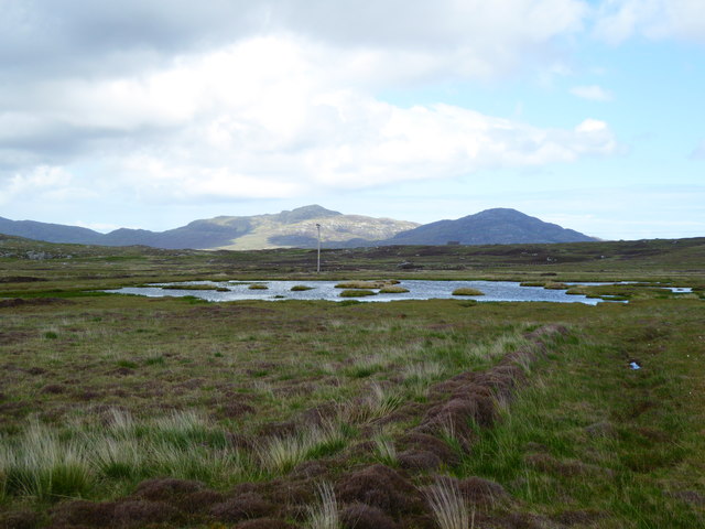
South Boisdale is a small village located in the western part of Inverness-shire, Scotland. Situated on the picturesque Isle of South Uist, it is known for its breathtaking natural beauty and rich cultural heritage. The village is nestled between the Atlantic Ocean to the west and the stunning hills and mountains to the east.

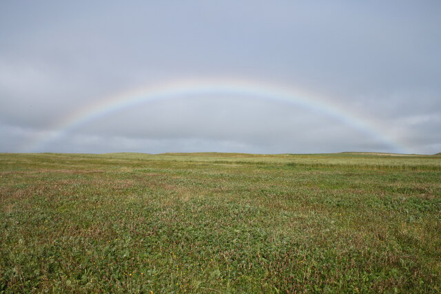
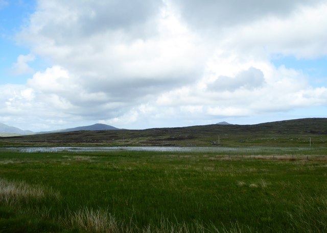
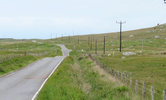
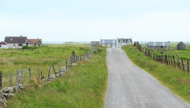
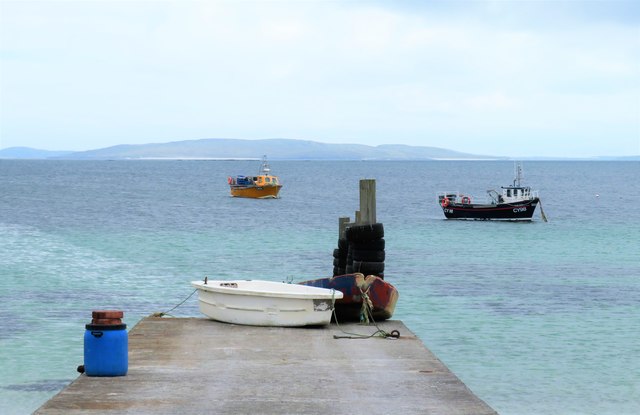
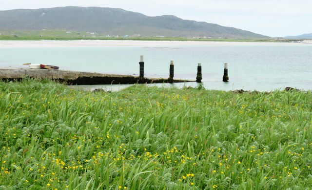
With a population of around 250 residents, South Boisdale offers a peaceful and close-knit community atmosphere. The village primarily relies on agriculture and fishing as its main economic activities. The surrounding landscape is characterized by rolling green pastures, rugged coastlines, and crystal-clear lochs, making it an ideal destination for outdoor enthusiasts.

South Boisdale is also known for its cultural significance. The village is home to several historical landmarks, including the South Boisdale House, a 19th-century mansion that has been converted into a hotel. The house boasts beautiful architecture and serves as a reminder of the area's past.

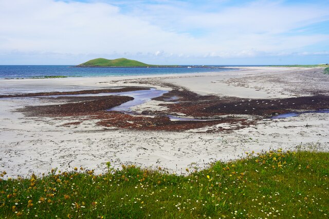
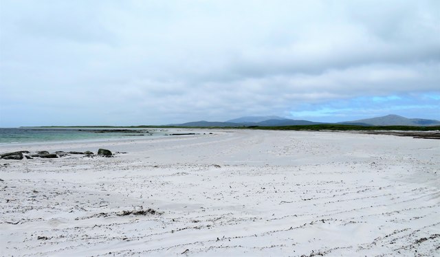
Visitors to South Boisdale can explore the nearby nature reserves, such as Loch Druidibeg National Nature Reserve, which is home to a wide variety of bird species and offers stunning views of the surrounding landscape. The village also provides access to some of the most pristine beaches in Scotland, including the famous Prince's Beach, where visitors can enjoy long walks along the sandy shores.

Overall, South Boisdale offers a tranquil and picturesque setting, combining natural beauty with a rich cultural heritage, making it an enchanting destination for visitors seeking a peaceful retreat in the heart of Scotland's stunning scenery.

If you have any feedback on the listing, please let us know in the comments section below.

South Boisdale Images

Images are sourced within 2km of 57.127841/-7.3896662 or Grid Reference NF7417. Thanks to Geograph Open Source API. All images are credited.
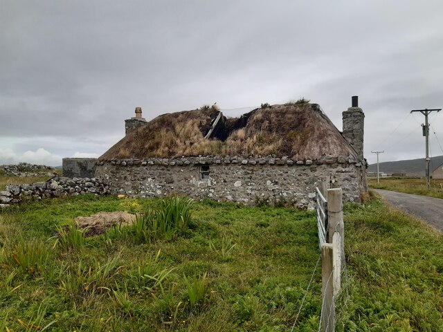
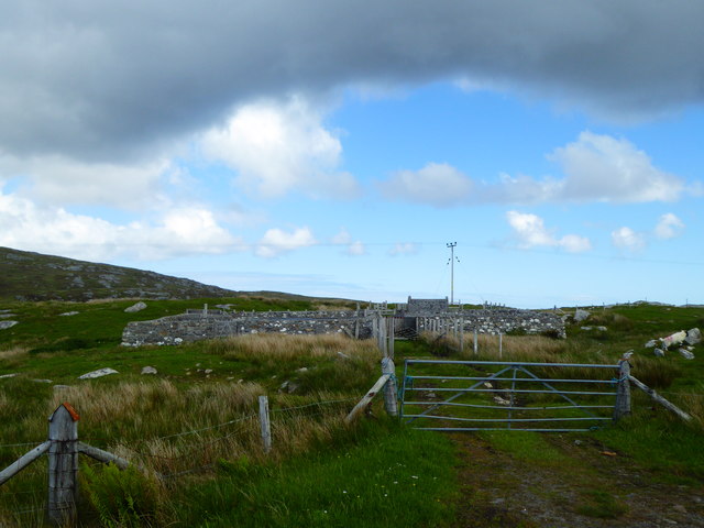
Rainbow over the machair Sunshine ahead of an impending rain shower.
Rainbow over the machair
Sunshine ahead of an impending rain shower.
Derelict croft house Derelict croft house at Geàrraidh na Mònadh.
Derelict croft house
Derelict croft house at Geàrraidh na Mònadh.
Beach at Garrynamonie Looking towards Orasaigh Island
Beach at Garrynamonie
Looking towards Orasaigh Island
Reed bed, Taobh a Tuath Smeircleit
South Uist Clay Pigeon Club
Loch Trosaraidh
Loch Trosaraidh
Fank at Càireasbhal
Fank at Càireasbhal
Dubh-lochan, a small moorland loch
Old Milestone by the B888, by crossroads, in South Uist Parish Granite column by the B888, in parish of South Uist (South Uist District), 100m South of crossroads for roads to North Boisdale and South Lochboisdale, on verge.

Inscription reads:- : 5 : (To Lochboisdale Pier) 

Surveyed

Milestone Society National ID: WI_SULBS05
Old Milestone by the B888, by crossroads, in South Uist Parish
Granite column by the B888, in parish of South Uist (South Uist District), 100m South of crossroads for roads to North Boisdale and South Lochboisdale, on verge. Inscription reads:- : 5 : (To Lochboisdale Pier) Surveyed Milestone Society National ID: WI_SULBS05
Old Milestone by the B888, South Uist parish Granite column by the B888, in parish of South Uist (South Uist District), between junction for Garrynamonie and modern church, 30m North of junction, 100m South of church.

Inscription reads:-
6
(To Lochboisdale Pier)

Surveyed

Milestone Society National ID: WI_SULBS06
Old Milestone by the B888, South Uist parish
Granite column by the B888, in parish of South Uist (South Uist District), between junction for Garrynamonie and modern church, 30m North of junction, 100m South of church. Inscription reads:- 6 (To Lochboisdale Pier) Surveyed Milestone Society National ID: WI_SULBS06
Milestone by the B888 A rather basic milestone with no discernible inscription. Looking south along the road to Eriskay.
Milestone by the B888
A rather basic milestone with no discernible inscription. Looking south along the road to Eriskay.
North along the B888 The main spine road running south to north along South Uist. The B888 becomes the A865 from the junction at Daliburgh.
North along the B888
The main spine road running south to north along South Uist. The B888 becomes the A865 from the junction at Daliburgh.
Road to North Boisdale Heading along a minor road towards this South Uist crofting community.
Road to North Boisdale
Heading along a minor road towards this South Uist crofting community.
An Doirlinn jetty A tricky one to locate on the map, the largest available scale placing the jetty just within this square. The jetty is in an unusual place being attached to the tiny islet of An Doirlinn, halfway between 'mainland' South Uist and the offshore tidal island of Orasaigh. Access to the jetty and both islands depends on the state of the tide.
An Doirlinn jetty
A tricky one to locate on the map, the largest available scale placing the jetty just within this square. The jetty is in an unusual place being attached to the tiny islet of An Doirlinn, halfway between 'mainland' South Uist and the offshore tidal island of Orasaigh. Access to the jetty and both islands depends on the state of the tide.
Vegetation on Orasaigh There must be dozens of Orasaigh/Orasay/Oronsay etc islands around the west coast of Scotland, the name meaning a high tide island, which this one is. Perhaps the best known is Oronsay with its ruined priory at the SW end of Colonsay.
Vegetation on Orasaigh
There must be dozens of Orasaigh/Orasay/Oronsay etc islands around the west coast of Scotland, the name meaning a high tide island, which this one is. Perhaps the best known is Oronsay with its ruined priory at the SW end of Colonsay.
Traigh na Doirlinn Part of the huge sandy beach that stretches most of the way down the west coast of South Uist.
Traigh na Doirlinn
Part of the huge sandy beach that stretches most of the way down the west coast of South Uist.
The net station A smell of rotting seaweed in the air reminds one that this is the net station, where presumably fishing nets could be both manufactured and repaired. However, all is quiet here now apart from the clanging of corrugated iron in the wind, as the place seems deserted, no doubt due to the decline in traditional fishing from the Uists. The nearest building appears in good order, but those beyond are showing signs of decay.
The net station
A smell of rotting seaweed in the air reminds one that this is the net station, where presumably fishing nets could be both manufactured and repaired. However, all is quiet here now apart from the clanging of corrugated iron in the wind, as the place seems deserted, no doubt due to the decline in traditional fishing from the Uists. The nearest building appears in good order, but those beyond are showing signs of decay.
Abandoned house near Baghasdal [2] Twelve years on almost to the day I found myself taking the same view as that taken by Greg Morss in 2007. He reported that the roof was still sound, but now there are holes and further decay seems inevitable.
Abandoned house near Baghasdal [2]
Twelve years on almost to the day I found myself taking the same view as that taken by Greg Morss in 2007. He reported that the roof was still sound, but now there are holes and further decay seems inevitable.
Show me another place!

South Boisdale is located at Grid Ref: NF7417 (Lat: 57.127841, Lng: -7.3896662)

Unitary Authority: Na h-Eileanan an Iar

Police Authority: Highlands and Islands

What 3 Words

///girder.annotated.conducted. Near Lochboisdale, Na h-Eileanan Siar

Related Wikis

Easaval

Easaval (Scottish Gaelic: Easabhal) is one of the smallest hills on the island of South Uist in the Outer Hebrides of Scotland, with a height of 243 metres...

Papar

The Papar (Icelandic pronunciation: [ˈpʰaːpar̥]; from Latin papa, via Old Irish, meaning "father" or "pope") were, according to early Icelandic sagas,...

Daliburgh

Daliburgh (Scottish Gaelic: Dalabrog) is a crofting township on South Uist, in the Outer Hebrides, Scotland. Daliburgh is situated 1+1⁄2 miles (2.5 kilometres...

Loch Hallan

Loch Hallan (Scottish Gaelic: Loch Thallan) is a loch (lake) in the Outer Hebrides, Scotland. It is located in the parish of South Uist, approximately...

Nearby Amenities

Located within 500m of 57.127841,-7.3896662
Bus Stop
South Boisdale
Bus: yes
Naptan AtcoCode: 6010731817
Naptan Bearing: N
Naptan CommonName: South Boisdale
Naptan Indicator: South Boisdale
Naptan Landmark: South Boisdale
Naptan NaptanCode: 94723286
Naptan Street: South Boisdale
Naptan Verified: no
Public Transport: platform
Source: naptan_import
Lat/Long: 57.1306247/-7.3873436
Post Box
Collection Times: Mo-Fr 12:00
Operator: Royal Mail
Operator Wikidata: Q638098
Post Box Type: pillar
Lat/Long: 57.1303554/-7.3853848
Booth: K6
Removed Amenity: telephone
Lat/Long: 57.1303553/-7.3853533
Passing Place
Lat/Long: 57.1314653/-7.3875137
Barrier: cattle_grid
Lat/Long: 57.1302195/-7.3837945
Power: pole
Lat/Long: 57.1298475/-7.3861547
Power: pole
Lat/Long: 57.1300557/-7.3857635
Power: pole
Lat/Long: 57.1303529/-7.3852879
Power: pole
Lat/Long: 57.1306751/-7.3847892
Passing Place
Lat/Long: 57.1303124/-7.3853437
Druim nan Càrnan
Place: locality
Lat/Long: 57.1268823/-7.3838512
The data included in this document is from www.openstreetmap.org. The data is made available under ODbL.

Have you been to South Boisdale?

Leave your review of South Boisdale below (or comments, questions and feedback).