South Barrow
Settlement in Somerset South Somerset
England
South Barrow
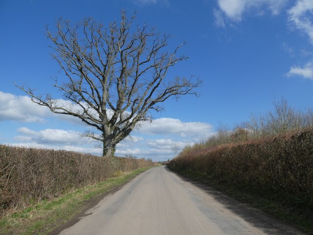
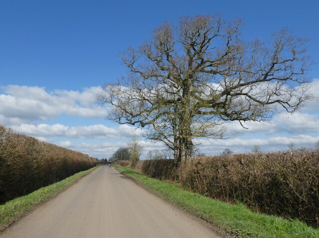
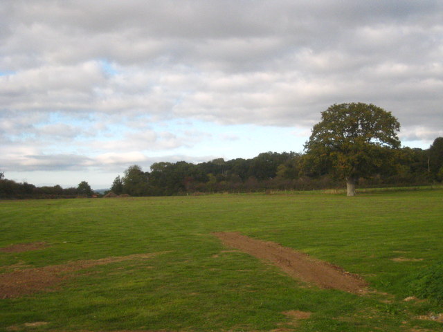
South Barrow is a small village located in the county of Somerset, England. It is situated approximately 6 miles south of the town of Yeovil and is part of the South Somerset district. The village is nestled in a picturesque countryside setting, surrounded by rolling hills and farmland.
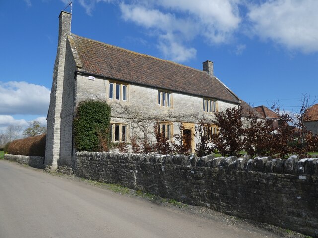
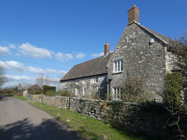
With a population of around 400 residents, South Barrow is known for its close-knit and friendly community. The village is primarily residential, with a mix of traditional cottages and more modern houses. The architecture reflects the area's rural charm and historical heritage.
Despite its small size, South Barrow offers a range of amenities and services to its residents. These include a village hall, a primary school, and a local pub. The village hall serves as a hub for community events and social gatherings, while the primary school provides education for local children up to the age of 11. The pub, known as a popular gathering spot, offers a variety of food and beverages.
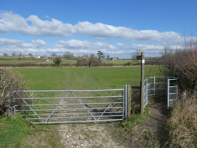
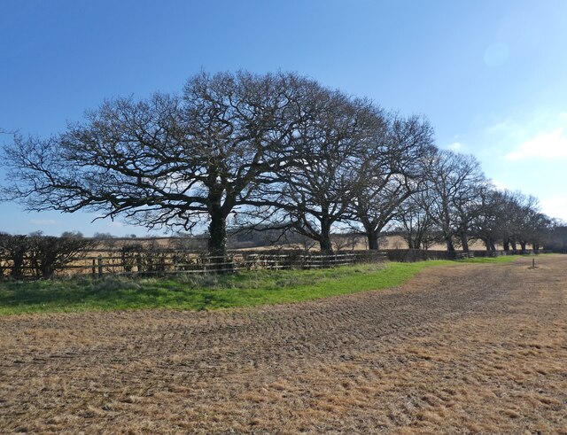
Surrounded by beautiful countryside, South Barrow offers ample opportunities for outdoor activities such as walking, cycling, and horse riding. The village is also within close proximity to several nature reserves and country parks, providing residents with further recreational options.
In terms of transportation, South Barrow is well connected to nearby towns and cities. The A37 road runs through the village, providing easy access to Yeovil and other major towns in the region. Additionally, there are regular bus services that connect South Barrow to surrounding areas.
Overall, South Barrow is a charming and tranquil village, offering a peaceful countryside lifestyle while still providing necessary amenities and convenient access to nearby towns.
If you have any feedback on the listing, please let us know in the comments section below.
South Barrow Images
Images are sourced within 2km of 51.04838/-2.569665 or Grid Reference ST6027. Thanks to Geograph Open Source API. All images are credited.


South Barrow is located at Grid Ref: ST6027 (Lat: 51.04838, Lng: -2.569665)
Administrative County: Somerset
District: South Somerset
Police Authority: Avon and Somerset
What 3 Words
///linen.quantity.jammy. Near Castle Cary, Somerset
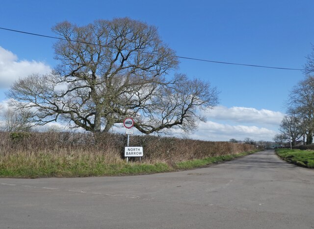
Nearby Locations
Related Wikis

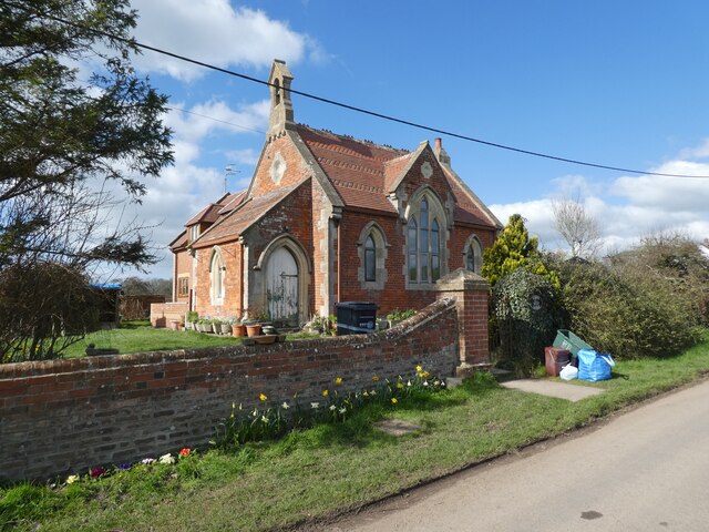
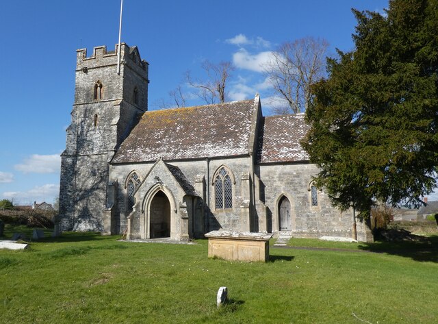
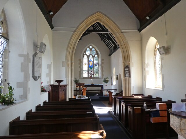
Church of St Peter, South Barrow
The Anglican Church of St Peter in South Barrow, Somerset, England was built in the 14th century. It is a Grade II* listed building. == History == The...
South Barrow
South Barrow is a village and civil parish approximately 2 miles (3 km) north of Sparkford and 7 miles (11 km) north-east of Ilchester in the South Somerset...

Hazlegrove House
Hazlegrove House is a 17th-century Grade II listed building located in the parish of Queen Camel near Sparkford, Somerset, England. It was largely rebuilt...
Hazlegrove Preparatory School
Hazlegrove Preparatory School is a non-selective co-educational preparatory school at Sparkford, Somerset in the south west of England. Hazlegrove is part...
Sparkford Wood
Sparkford Wood (grid reference ST613275) is an 8.4 hectare (20.7 acre) biological Site of Special Scientific Interest at Sparkford in Somerset, notified...
Sparkford railway station
Sparkford railway station served the village of Sparkford, South Somerset, England from 1856 to 1966 on the Heart of Wessex Line. == History == The station...

Haynes International Motor Museum
Haynes Motor Museum at Sparkford near Yeovil in Somerset, England, contains over 400 cars and motorcycles and a collection of other automobilia. The museum...

Sparkford
Sparkford is a village and civil parish in Somerset, England. The parish includes the village of Weston Bampfylde. It is situated near the junction of...
Nearby Amenities
Located within 500m of 51.04838,-2.569665Have you been to South Barrow?
Leave your review of South Barrow below (or comments, questions and feedback).