Bletchingley
Settlement in Surrey Tandridge
England
Bletchingley
Bletchingley is a historic village located in the county of Surrey, England. Situated approximately 20 miles south of London, it lies in the Tandridge district and has a population of around 2,900 residents. The village is known for its picturesque setting, surrounded by the rolling hills of the North Downs.
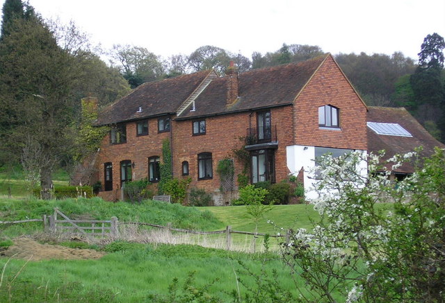
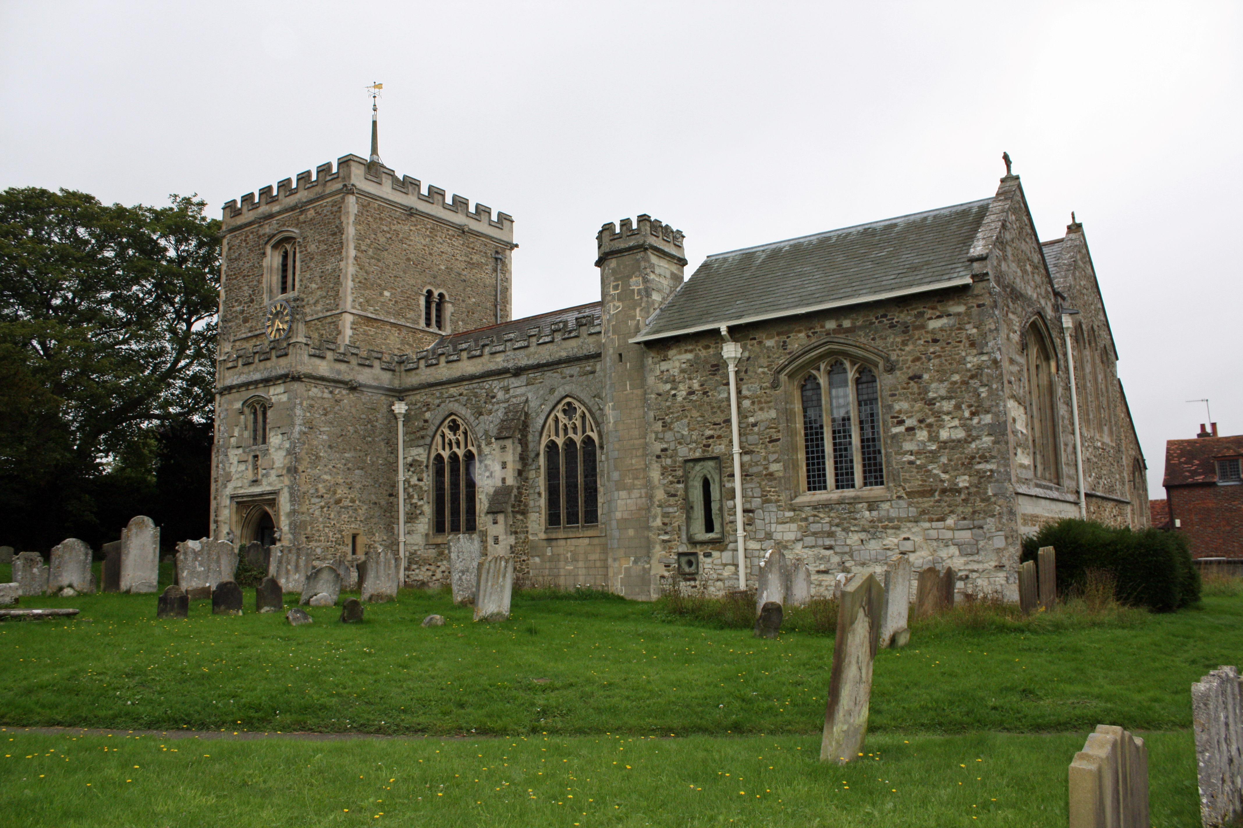
The origins of Bletchingley date back to the Norman era, and it has a rich history that is evident in its well-preserved architecture. The village features several notable buildings, including the Church of St. Mary the Virgin, a medieval church with stunning stained glass windows and a 14th-century tower. Bletchingley Castle, a fortified manor house dating back to the 12th century, also stands as a prominent landmark.
The village center is characterized by its charming High Street, lined with traditional cottages and local businesses. Here, visitors can explore a variety of shops, cafes, pubs, and restaurants that offer a range of goods and services. Bletchingley also boasts a vibrant community spirit, with various events and activities taking place throughout the year, including an annual fair and a popular farmers' market.
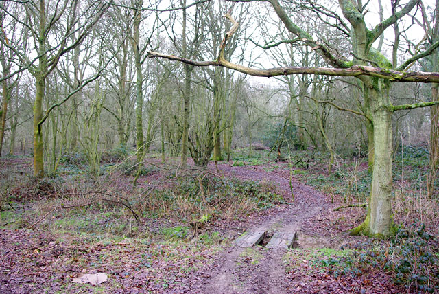
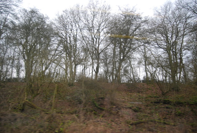
Nature lovers will appreciate the surrounding countryside, which offers ample opportunities for outdoor pursuits. Bletchingley is located near several nature reserves and country parks, providing scenic walking trails, wildlife spotting, and serene picnic spots.
With its rich history, idyllic setting, and strong sense of community, Bletchingley offers a charming and peaceful retreat for both residents and visitors alike.
If you have any feedback on the listing, please let us know in the comments section below.
Bletchingley Images
Images are sourced within 2km of 51.240579/-0.099288 or Grid Reference TQ3250. Thanks to Geograph Open Source API. All images are credited.


Bletchingley is located at Grid Ref: TQ3250 (Lat: 51.240579, Lng: -0.099288)
Administrative County: Surrey
District: Tandridge
Police Authority: Surrey
What 3 Words
///count.clues.rider. Near Bletchingley, Surrey
Nearby Locations
Related Wikis
Bletchingley
Bletchingley (historically "Blechingley") is a village in Surrey, England. It is on the A25 road to the east of Redhill and to the west of Godstone, has...

Bletchingley Castle
Bletchingley Castle is a ruined castle and set of earthworks partly occupied by three buildings. The Scheduled Ancient Monument is directly beside the...
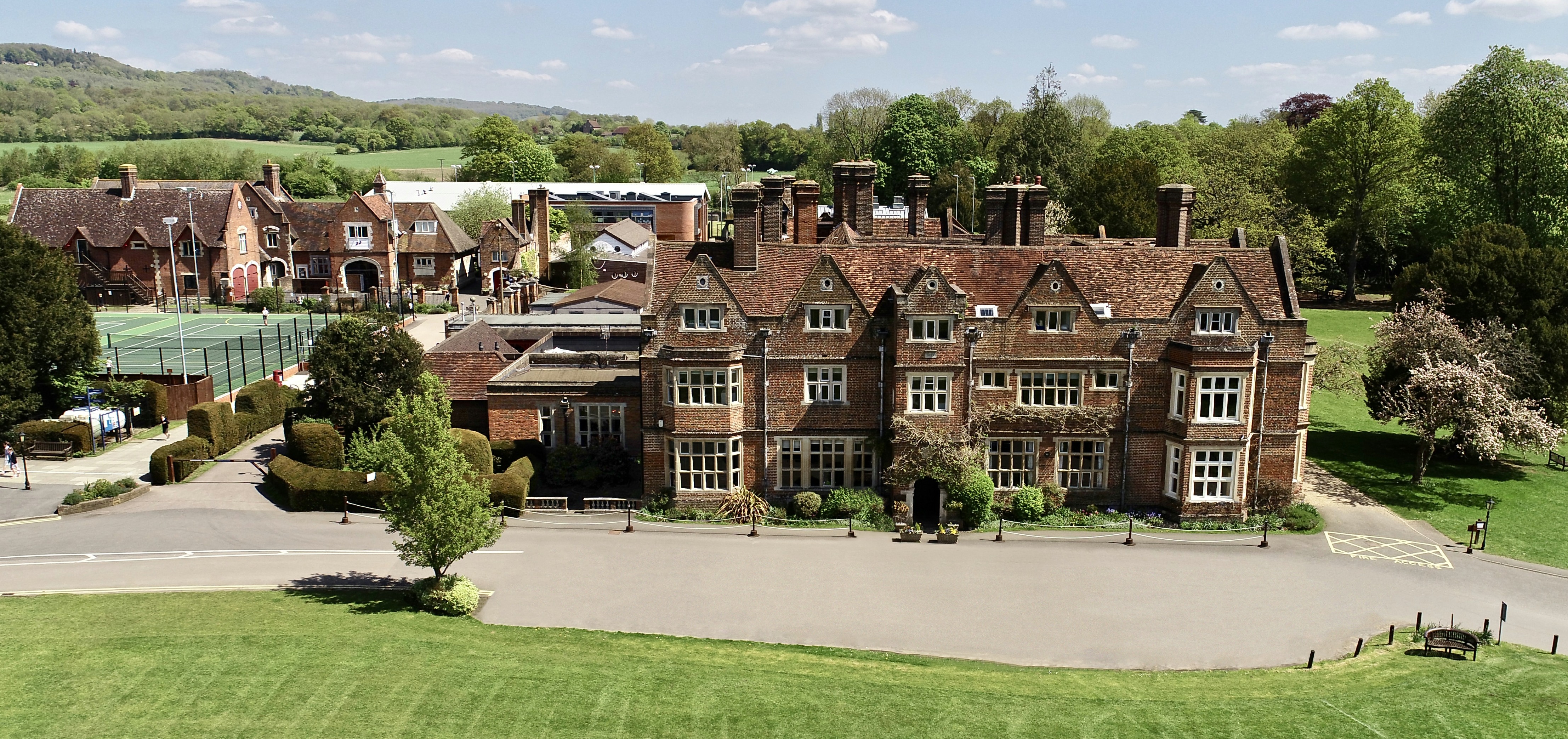
The Hawthorns School
The Hawthorns School is an independent preparatory school for boys and girls aged 2 years to 13 years in Bletchingley, Surrey, England. The headmaster...

Kitchen Copse
Kitchen Copse is a 7-hectare (17-acre) nature reserve north of Bletchingley in Surrey. It is managed by the Surrey Wildlife Trust.This ancient semi-natural...
Brewing Industry Research Foundation
The Brewing Industry Research Foundation is now part of Campden BRI, a research association serving all sectors of the food and drink industry. The Brewing...

Graeme Hendrey Wood
Graeme Hendrey Wood is a 10-hectare (25-acre) nature reserve east of Bletchingley in Surrey. It is managed by the Surrey Wildlife Trust.This former sand...

Tilburstow Hill
Tilburstow Hill is a 9-hectare (22-acre) nature reserve south-east of Godstone in Surrey. It is managed by the Surrey Wildlife Trust.This is a semi-natural...
1929 Luft Hansa Junkers G 24 crash
The 1929 Luft Hansa Junkers G.24 crash occurred on 6 November 1929 when a Junkers G 24 of Luft Hansa crashed at Godstone, Surrey, United Kingdom while...
Nearby Amenities
Located within 500m of 51.240579,-0.099288Have you been to Bletchingley?
Leave your review of Bletchingley below (or comments, questions and feedback).