Ascot, South

Settlement in Berkshire

England

Ascot, South

The Forge 86a Upper Village Road Sunninghill The house was built 25 years ago following demolition of the original factory (The Forge). The climber on the right is Solanum jasminoides 'Album', still flowering profusely in October.
The Forge 86a Upper Village Road Sunninghill Credit: Mick Crawley

Ascot is a picturesque village located in the South of Berkshire, England. It is renowned for its prestigious horse racing event, the Royal Ascot, which attracts visitors from around the world. The village is situated approximately 25 miles west of London and is part of the larger civil parish of Sunninghill and Ascot.

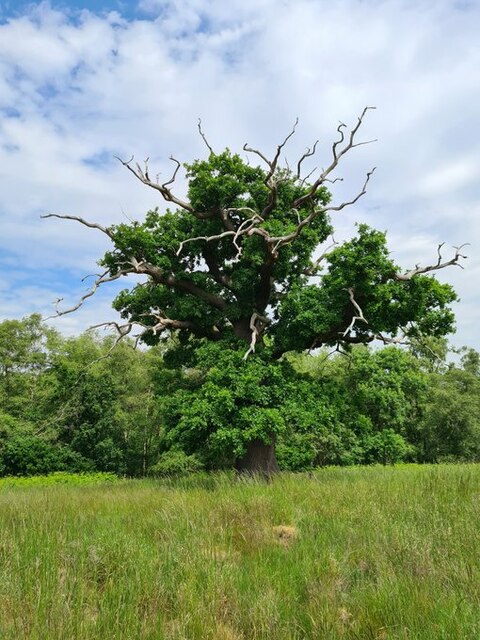
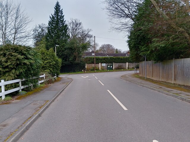
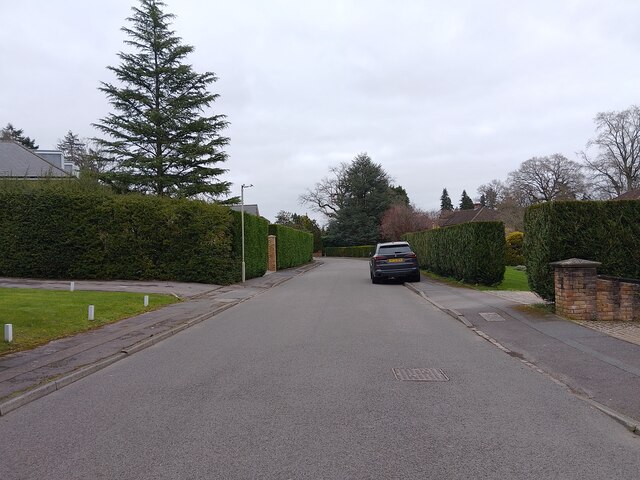
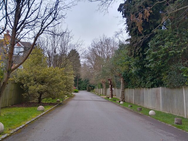
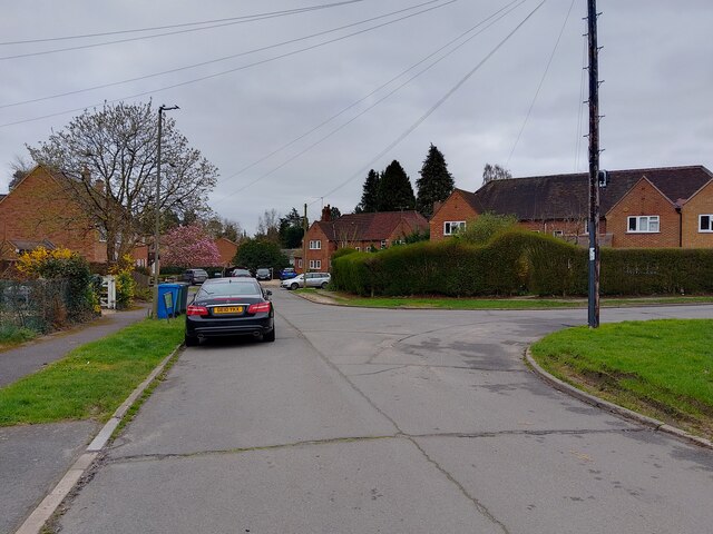
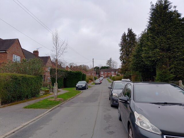
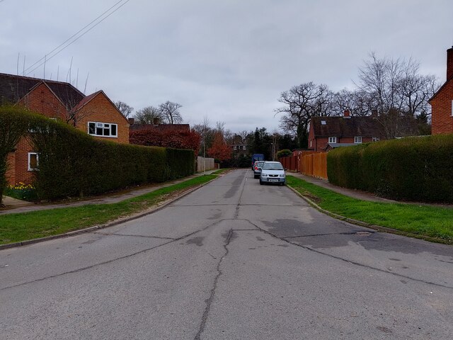
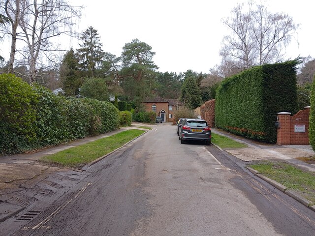
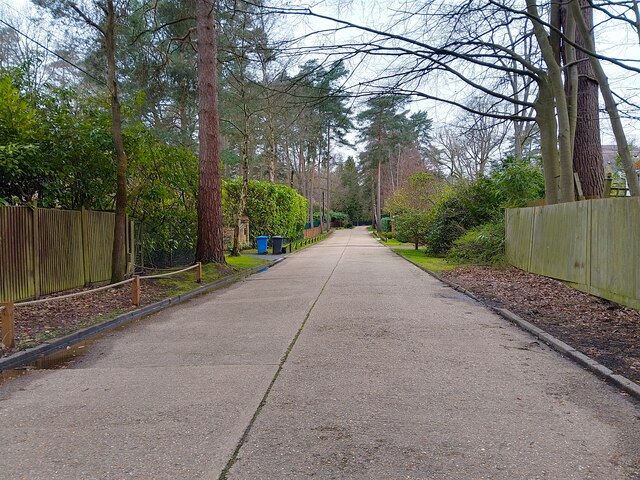
Ascot is surrounded by beautiful countryside, with vast expanses of green fields and rolling hills. It offers a tranquil escape from the bustling city life, while still providing easy access to urban amenities. The village is well-connected, with excellent transport links, including the Ascot railway station, which offers regular services to London and other major cities.

The main highlight of Ascot is undoubtedly the Royal Ascot racecourse, which hosts one of the most prestigious horse racing events in the world. The event, attended by the British royal family, is known for its high fashion, with attendees often donning extravagant hats and elegant attire. The racecourse also holds other horse racing events throughout the year, attracting both racing enthusiasts and casual spectators.

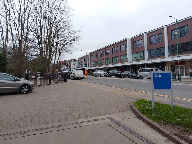
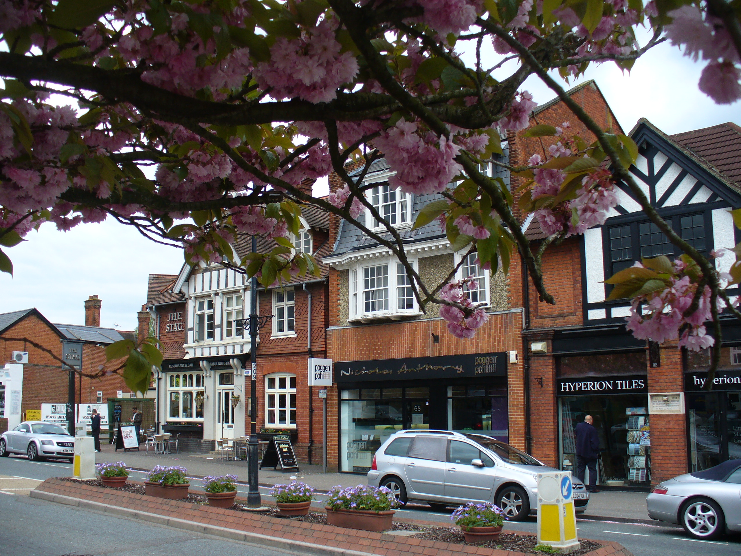
In addition to horse racing, Ascot boasts a charming village center, lined with independent shops, cafes, and restaurants. The area is also home to several golf courses, providing opportunities for outdoor recreation. The nearby Windsor Great Park offers vast open spaces for leisurely walks and picnics.

Ascot is a sought-after residential area, known for its affluent community and luxurious properties. It offers a high standard of living, with excellent schools, healthcare facilities, and recreational amenities. Overall, Ascot is a beautiful village that seamlessly combines rural charm with modern conveniences, making it an attractive place to live and visit.

If you have any feedback on the listing, please let us know in the comments section below.
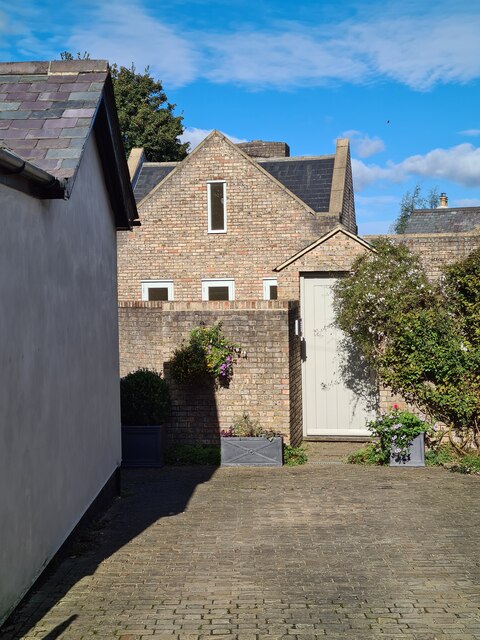
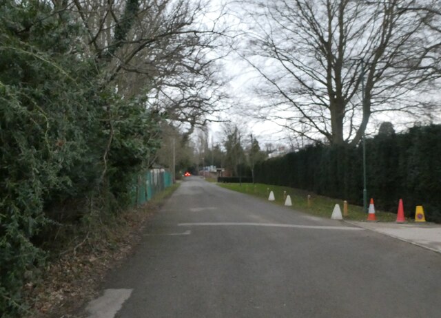
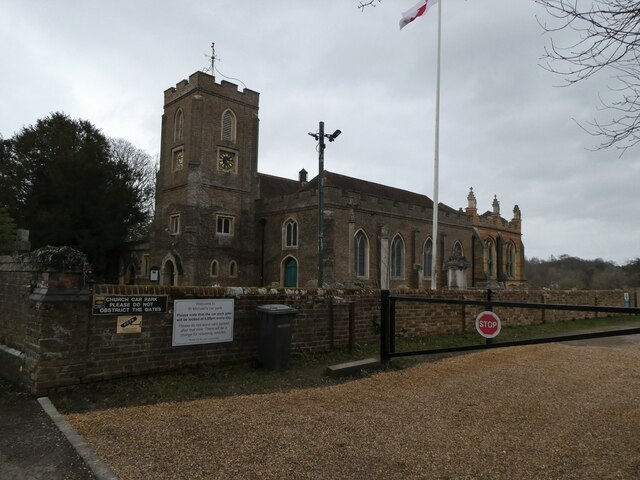
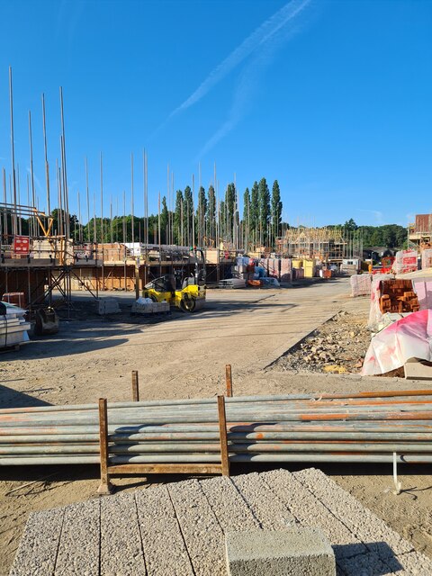
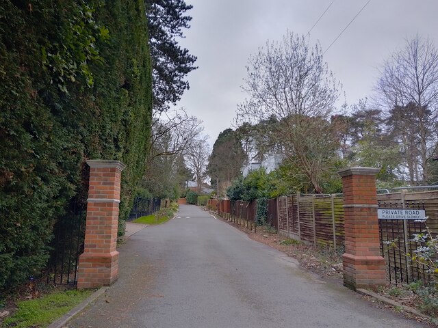
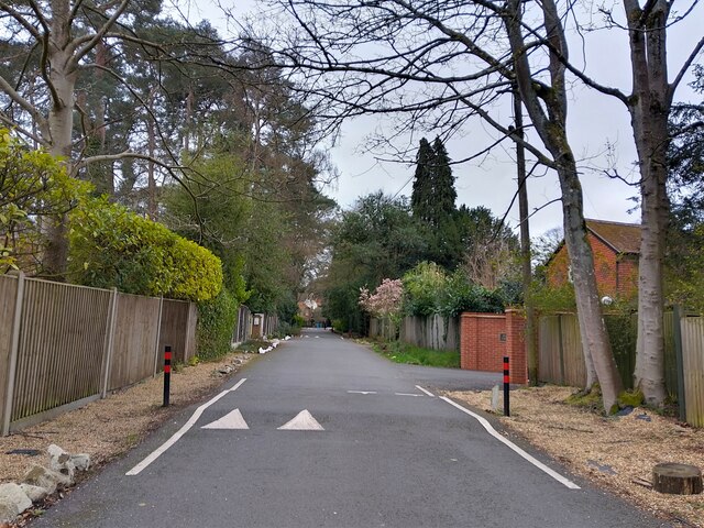
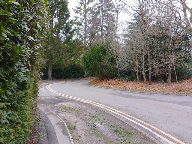
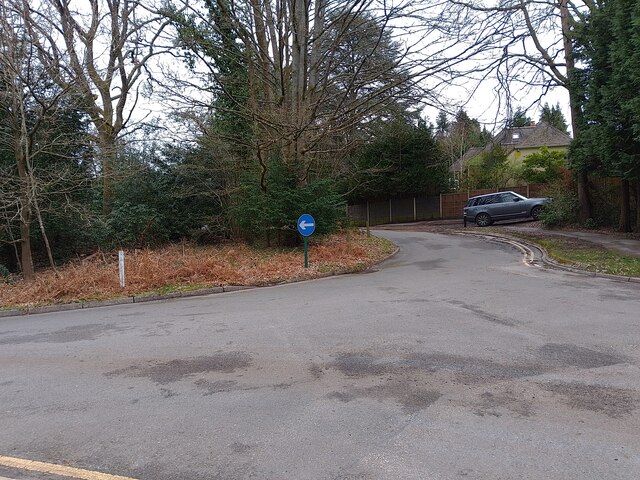
Ascot, South Images

Images are sourced within 2km of 51.397558/-0.668168 or Grid Reference SU9267. Thanks to Geograph Open Source API. All images are credited.

The Forge 86a Upper Village Road Sunninghill The house was built 25 years ago following demolition of the original factory (The Forge). The climber on the right is Solanum jasminoides 'Album', still flowering profusely in October.
The Forge 86a Upper Village Road Sunninghill
The house was built 25 years ago following demolition of the original factory (The Forge). The climber on the right is Solanum jasminoides 'Album', still flowering profusely in October.
Looking south-southwest along Church Lane
St Michael & All Angels, Sunninghill: early February 2022
site of the former Sunninghill Gasometer After lying derelict for many years, the gasometer was eventually demolished, then the site lay as waste ground for a decade, during which period it developed a very diverse flora.  All that is gone now, as the long-delayed housing development is underway.
site of the former Sunninghill Gasometer
After lying derelict for many years, the gasometer was eventually demolished, then the site lay as waste ground for a decade, during which period it developed a very diverse flora. All that is gone now, as the long-delayed housing development is underway.
Stag-headed Quercus robur in Church Field Silwood Park As the tree ages,  there comes a point when the canopy starts to contract each year  leaving the resilient but now dead limbs behind.
Stag-headed Quercus robur in Church Field Silwood Park
As the tree ages, there comes a point when the canopy starts to contract each year leaving the resilient but now dead limbs behind.
Greenways Drive junction The junction at the end of Greenways Drive (a cul-de-sac) leading to Devenish Road (the A330).
Greenways Drive junction
The junction at the end of Greenways Drive (a cul-de-sac) leading to Devenish Road (the A330).
Greenways Drive A cul-de-sac off Devenish Road (the A330).
Greenways Drive
A cul-de-sac off Devenish Road (the A330).
Fireball Hill A road off Devenish Road (the A330).
Fireball Hill
A road off Devenish Road (the A330).
Park Crescent A road that goes in a loop, serving cul-de-sacs on a housing estate, off Rise Road.
Park Crescent
A road that goes in a loop, serving cul-de-sacs on a housing estate, off Rise Road.
Park Crescent A road that goes in a loop, serving cul-de-sacs on a housing estate, off Rise Road.
Park Crescent
A road that goes in a loop, serving cul-de-sacs on a housing estate, off Rise Road.
Park Crescent A road that goes in a loop, serving cul-de-sacs on a housing estate, off Rise Road.
Park Crescent
A road that goes in a loop, serving cul-de-sacs on a housing estate, off Rise Road.
Ascot High Street The high street in Ascot on race day - a place to avoid if you aren't heading to the races yourself, viewed from the petrol station. Lots of illegal parking and thousands of cars flocking everywhere.
Ascot High Street
The high street in Ascot on race day - a place to avoid if you aren't heading to the races yourself, viewed from the petrol station. Lots of illegal parking and thousands of cars flocking everywhere.
Friary Road A private road (and public footpath) between Brockenhurst Road (the A330) and Coronation Road.
Friary Road
A private road (and public footpath) between Brockenhurst Road (the A330) and Coronation Road.
Friary Road A private road (and public footpath) between Brockenhurst Road (the A330) and Coronation Road.
Friary Road
A private road (and public footpath) between Brockenhurst Road (the A330) and Coronation Road.
Woodlands Ride A road serving cul-de-sacs and private roads off Coronation Road. At this point the road splits and goes around a small patch of woodland as a roundabout.
Woodlands Ride
A road serving cul-de-sacs and private roads off Coronation Road. At this point the road splits and goes around a small patch of woodland as a roundabout.
Woodlands Ride A road serving cul-de-sacs and private roads off Coronation Road. This is the part of the road after the roundabout.
Woodlands Ride
A road serving cul-de-sacs and private roads off Coronation Road. This is the part of the road after the roundabout.
Llanvair Drive A road between Woodlands Ride and Coronation Road. The road narrows to a single lane ahead for a short time.
Llanvair Drive
A road between Woodlands Ride and Coronation Road. The road narrows to a single lane ahead for a short time.
Show me another place!

Ascot, South is located at Grid Ref: SU9267 (Lat: 51.397558, Lng: -0.668168)

Unitary Authority: Windsor and Maidenhead

Police Authority: Thames Valley

What 3 Words

///certified.staple.drips. Near Ascot, Berkshire

Nearby Locations

South Ascot Ascot, South

Related Wikis

St Mary's School Ascot

St Mary's School Ascot is a Roman Catholic independent day and boarding school for girls in Ascot, Berkshire, England. It is a member of the Girls' Schools...
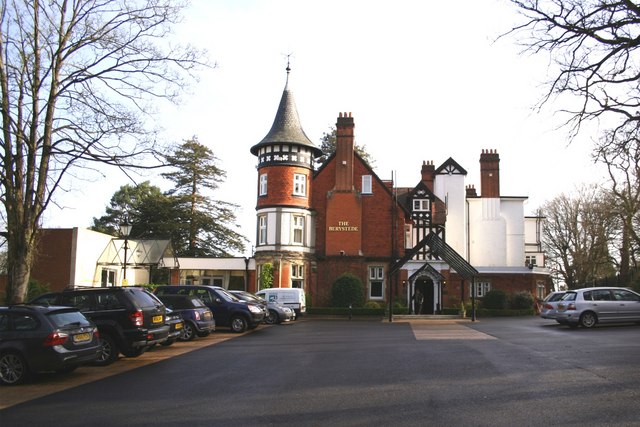
Berystede

The Berystede is a hotel in the village of South Ascot, Berkshire, England. == History == The Berystede site was originally part of the parish of Sunninghill...

South Ascot

South Ascot is a village just south of and down the hill from the small town of Ascot in the English county of Berkshire. It is bounded on the west by...

Sunninghill, Berkshire

Sunninghill is a village in the civil parish of Sunninghill and Ascot in the Royal Borough of Windsor and Maidenhead in the English county of Berkshire...

Hurst Lodge School

Hurst Lodge School, established in 1945, is a non-selective independent school originally based in Ascot, Berkshire, England, for girls and boys aged three...

Ascot railway station (Berkshire)

Ascot railway station serves the town of Ascot in Berkshire, England. It is 28 miles 79 chains (46.7 km) down the line from London Waterloo. The station...

St George's School, Ascot

St George's School, Ascot is an independent girls' boarding and day school in Ascot, Berkshire, England. It was founded as a boys' school but later became...

Ascot, Berkshire

Ascot () is a town in the Royal Borough of Windsor and Maidenhead in Berkshire, England. It is 6 miles (9.7 km) south of Windsor, 4 miles (6.4 km) east...

Nearby Amenities

Located within 500m of 51.397558,-0.668168
Bus Stop
Coronation Road
Naptan AtcoCode: 036006661661
Naptan Bearing: SE
Naptan CommonName: Coronation Road
Naptan Indicator: opp
Naptan Landmark: Coronation Road
Naptan NaptanCode: windtpg
Naptan Street: Brockenhurst Road
Naptan Verified: no
Public Transport: platform
Source: naptan_import
Lat/Long: 51.3996441/-0.6693221
Bus Stop
Coronation Road
Naptan AtcoCode: 036006661662
Naptan Bearing: NW
Naptan CommonName: Coronation Road
Naptan Indicator: adj
Naptan Landmark: Opp Kimbers
Naptan NaptanCode: windtpj
Naptan Street: Brockenhurst Road
Naptan Verified: no
Public Transport: platform
Source: naptan_import
Lat/Long: 51.3997736/-0.6696346
Bus Stop
St Marys Road
Bus: yes
Naptan AtcoCode: 036006663663
Naptan Bearing: NW
Naptan CommonName: St Marys Road
Naptan Indicator: west of cross roads
Naptan Landmark: St Marys Hill
Naptan NaptanCode: windtpm
Naptan Street: Brockenhurst Road
Naptan Verified: no
Public Transport: platform
Source: naptan_import
Lat/Long: 51.3969828/-0.6646124
Bus Stop
St Marys Road
Bus: yes
Naptan AtcoCode: 036006727727
Naptan Bearing: SE
Naptan CommonName: St Marys Road
Naptan Indicator: east of cross roads
Naptan Landmark: St Marys Hill
Naptan NaptanCode: windwaj
Naptan Street: Brockenhurst Road
Naptan Verified: no
Public Transport: platform
Source: naptan_import
Lat/Long: 51.3966442/-0.6633141
South Ascot
Place: village
Wikidata: Q7566013
Wikipedia: en:South Ascot
Lat/Long: 51.3986846/-0.6698776
Parking
Lat/Long: 51.4016509/-0.6704865
Crossing
Crossing: uncontrolled
Kerb: lowered
Sloped Curb: yes
Lat/Long: 51.4001406/-0.6700327
Direction: 215
Generator Method: photovoltaic
Generator Output Electricity: yes
Generator Solar Modules: 14
Generator Source: solar
Generator Type: solar_photovoltaic_panel
Location: roof
Power: generator
Lat/Long: 51.3940923/-0.6638484
Direction: 130
Generator Method: photovoltaic
Generator Output Electricity: yes
Generator Solar Modules: 21
Generator Source: solar
Generator Type: solar_photovoltaic_panel
Location: roof
Power: generator
Lat/Long: 51.3947395/-0.6693619
Direction: 210
Generator Method: photovoltaic
Generator Output Electricity: yes
Generator Solar Modules: 4
Generator Source: solar
Generator Type: solar_photovoltaic_panel
Location: roof
Power: generator
Lat/Long: 51.3935463/-0.6659343
Direction: 180
Generator Method: photovoltaic
Generator Output Electricity: yes
Generator Solar Modules: 8
Generator Source: solar
Generator Type: solar_photovoltaic_panel
Location: roof
Power: generator
Lat/Long: 51.4016647/-0.6701327
Direction: 190
Generator Method: photovoltaic
Generator Output Electricity: yes
Generator Solar Modules: 12
Generator Source: solar
Generator Type: solar_photovoltaic_panel
Location: roof
Power: generator
Lat/Long: 51.396632/-0.6616506
Direction: 285
Generator Method: photovoltaic
Generator Output Electricity: yes
Generator Solar Modules: 16
Generator Source: solar
Generator Type: solar_photovoltaic_panel
Location: roof
Power: generator
Lat/Long: 51.4005636/-0.6713757
Direction: 120
Generator Method: photovoltaic
Generator Output Electricity: yes
Generator Solar Modules: 13
Generator Source: solar
Generator Type: solar_photovoltaic_panel
Location: roof
Power: generator
Lat/Long: 51.4000812/-0.6723872
Stop
Lat/Long: 51.3968934/-0.664248
Grit Bin
Lat/Long: 51.3985199/-0.6621758
The data included in this document is from www.openstreetmap.org. The data is made available under ODbL.

Have you been to Ascot, South?

Leave your review of Ascot, South below (or comments, questions and feedback).