South Allington
Settlement in Devon South Hams
England
South Allington
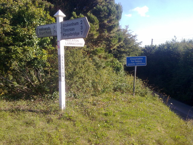
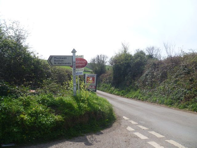
South Allington is a small village located in the South Hams district of Devon, England. Situated on the southern coast, it lies about 4 miles east of the popular tourist destination of Salcombe. The village is nestled in a picturesque countryside setting, surrounded by rolling hills and lush green fields.
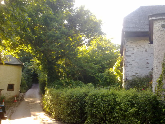
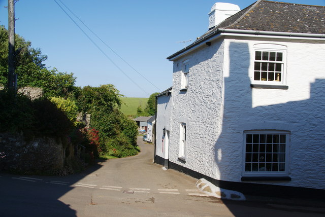
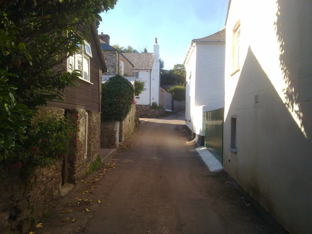
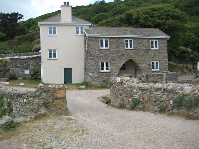
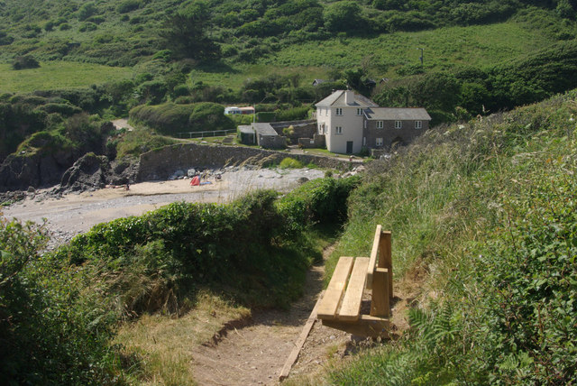
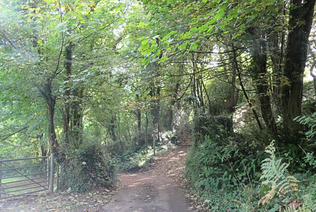
South Allington is known for its charm and tranquility, offering a peaceful escape from the hustle and bustle of larger towns. The village is primarily residential, with a tight-knit community that values its rural character and natural beauty. Traditional stone cottages and farmhouses dot the landscape, adding to the area's idyllic charm.
Despite its small size, South Allington has a rich history. The village dates back to medieval times and still retains some historic features, including St. Andrew's Church, a beautiful 13th-century building that serves as a prominent landmark. The church features intricate stained glass windows and a well-preserved interior, attracting visitors interested in historical architecture.
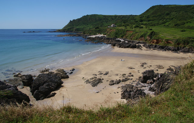
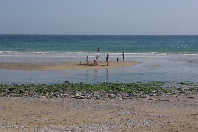
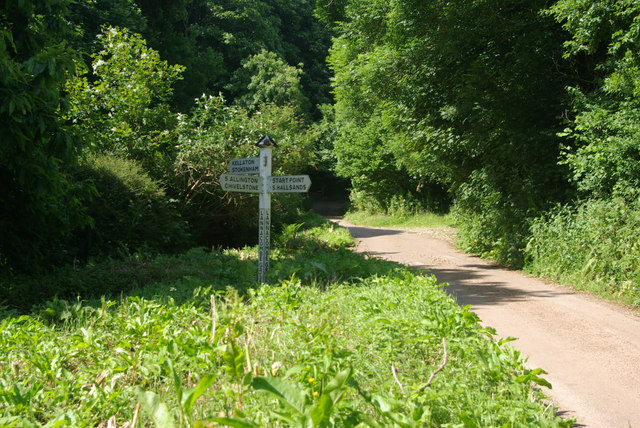
Nature enthusiasts will find plenty to explore in the surrounding area. The village is close to the stunning South Devon Area of Outstanding Natural Beauty, offering opportunities for hiking, birdwatching, and enjoying the scenic coastal views. The nearby Kingsbridge Estuary provides a haven for boating and sailing enthusiasts.
While South Allington may lack commercial amenities, the village benefits from its proximity to nearby towns and villages, where residents can find essential services, shops, and restaurants. Overall, South Allington offers a tranquil and charming rural lifestyle, making it an attractive destination for those seeking a peaceful retreat in the Devon countryside.
If you have any feedback on the listing, please let us know in the comments section below.
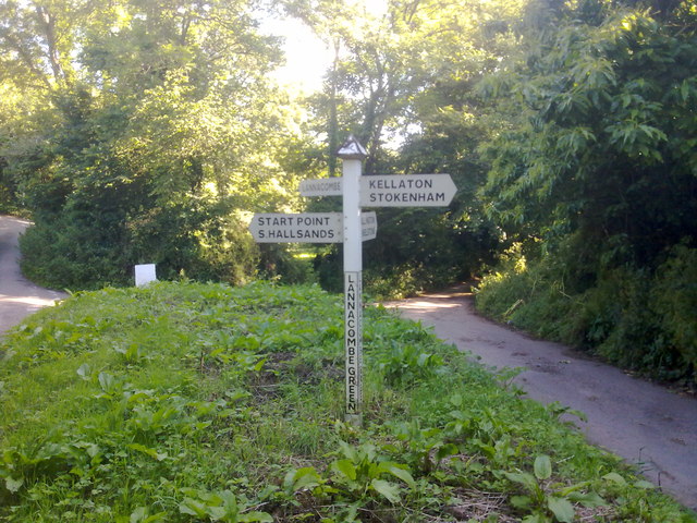
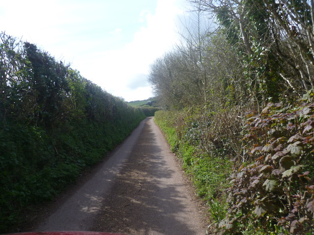
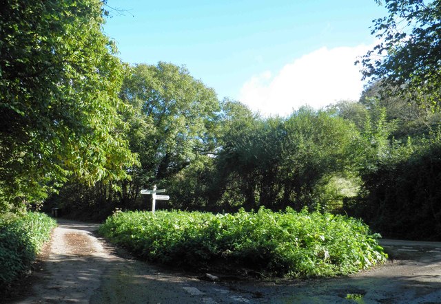
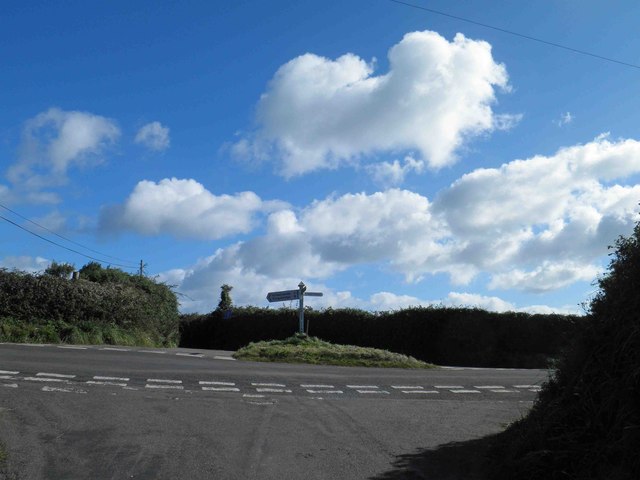
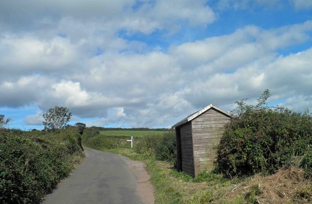
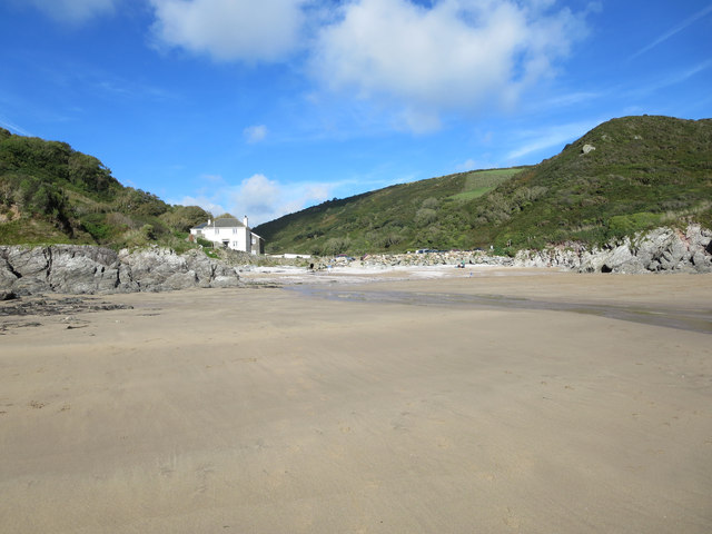
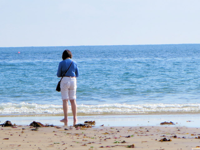
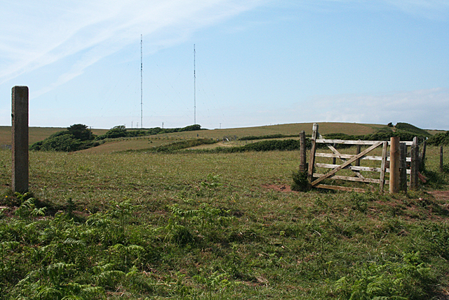
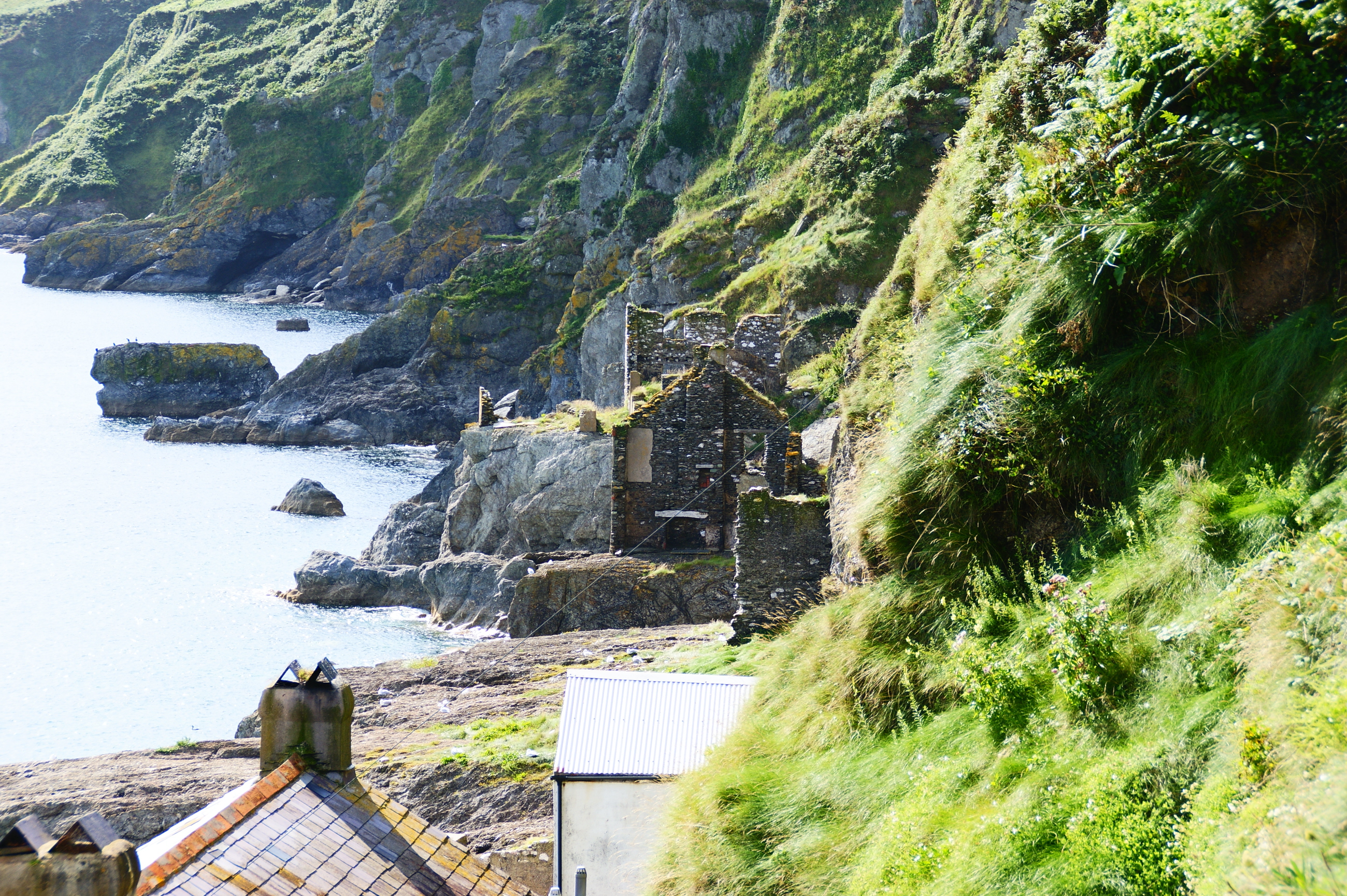
South Allington Images
Images are sourced within 2km of 50.23636/-3.691086 or Grid Reference SX7938. Thanks to Geograph Open Source API. All images are credited.
South Allington is located at Grid Ref: SX7938 (Lat: 50.23636, Lng: -3.691086)
Administrative County: Devon
District: South Hams
Police Authority: Devon and Cornwall
What 3 Words
///compounds.headers.aboard. Near Salcombe, Devon
Nearby Locations
Related Wikis

Chivelstone
Chivelstone is a village and civil parish in Devon, England. The parish contains the villages of East Prawle and South Allington as well as the hamlets...

Ford, Chivelstone
Ford is a hamlet about 6 miles from Stoke Fleming, in the civil parish of Chivelstone, in the South Hams district, in the county of Devon, England. Ford...
Start Point transmitting station
The Start Point transmitting station is a broadcasting facility at Start Point, Devon, owned by Arqiva. The site is just north-west of the Start Point...
Hallsands
Hallsands is a village and beach in south Devon, England, in a precarious position between cliffs and the sea, between Beesands to the north and Start...

RNAS Prawle Point
The RNAS Naval Air Station Prawle Point was a British First World War airfield outside the village of East Prawle in Devon, England and 2.6 miles (4.2...

East Prawle
East Prawle is a village in Chivelstone parish in the South Hams district of Devon, England. It is situated on the coast south east of Salcombe, near the...

Beesands
Beesands is a small settlement located midway between Hallsands and Torcross on the coast of Start Bay in South Devon, England. It is best known as a tourist...

Chillington, Devon
Chillington is a village in the Stokenham civil parish of South Hams in Devon, England, with a population of 877 as of the 2011 Census. It is located within...
Nearby Amenities
Located within 500m of 50.23636,-3.691086Have you been to South Allington?
Leave your review of South Allington below (or comments, questions and feedback).