Sonning
Settlement in Berkshire
England
Sonning

Sonning is a charming village located in the county of Berkshire, England. Situated on the banks of the River Thames, it is known for its picturesque setting and historic significance. With a population of around 1,500 residents, Sonning offers a peaceful and idyllic atmosphere.
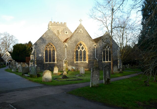
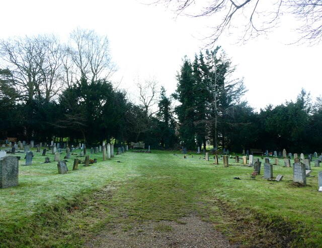
One of the notable features of Sonning is its beautiful architecture. The village is home to several historic buildings, including the 14th-century St. Andrew's Church, which showcases stunning medieval craftsmanship. Additionally, there are numerous timber-framed houses and thatched cottages that add to the village's charm.
Sonning is also renowned for its connection to the performing arts. The village is home to the famous Mill at Sonning Theatre, a unique venue where visitors can enjoy a meal while watching live performances. The theater has gained a reputation for its high-quality productions and has attracted renowned actors over the years.
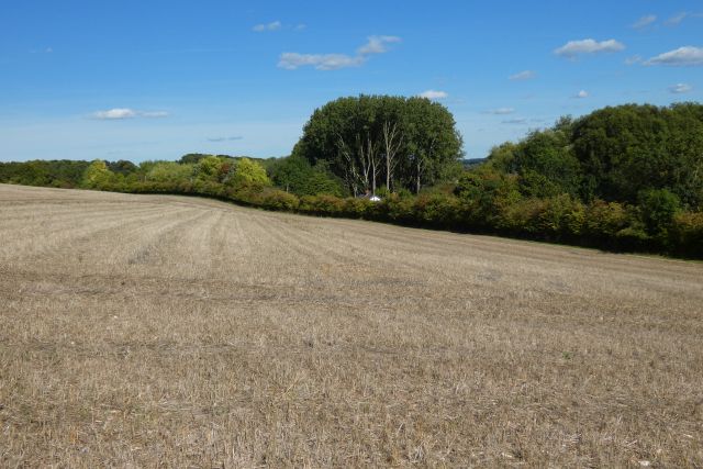
Nature enthusiasts will appreciate the scenic beauty surrounding Sonning. The village is located in close proximity to the Sonning Eye Nature Reserve, a protected area that offers diverse wildlife and tranquil walking trails. The River Thames itself provides opportunities for boating and river walks, allowing residents and visitors to enjoy the calming waterscape.
Sonning benefits from excellent transport links, making it easily accessible. The village is conveniently located near the A4 road, providing connections to neighboring towns and cities. Additionally, the nearby Reading railway station offers regular train services to London and other major cities.
Overall, Sonning, Berkshire, is a delightful village that combines rich history, natural beauty, and the arts, making it an attractive place to live or visit.
If you have any feedback on the listing, please let us know in the comments section below.
Sonning Images
Images are sourced within 2km of 51.473634/-0.911324 or Grid Reference SU7575. Thanks to Geograph Open Source API. All images are credited.


Sonning is located at Grid Ref: SU7575 (Lat: 51.473634, Lng: -0.911324)
Unitary Authority: Wokingham
Police Authority: Thames Valley
What 3 Words
///paths.bill.pocketed. Near Sonning, Berkshire
Nearby Locations
Related Wikis
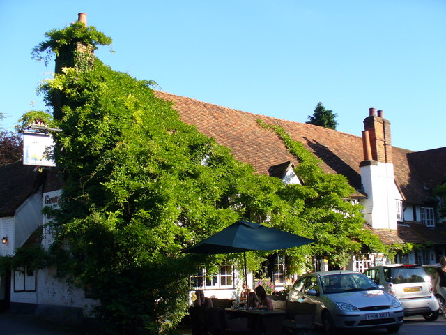
Bull Inn, Sonning
The Bull Inn, also known as The Bull at Sonning or just The Bull, is an historic public house — now also a restaurant and hotel — in the centre of the...

Sonning
Sonning is a village and civil parish in Berkshire, England, on the River Thames, east of Reading. The village was described by Jerome K. Jerome in his...
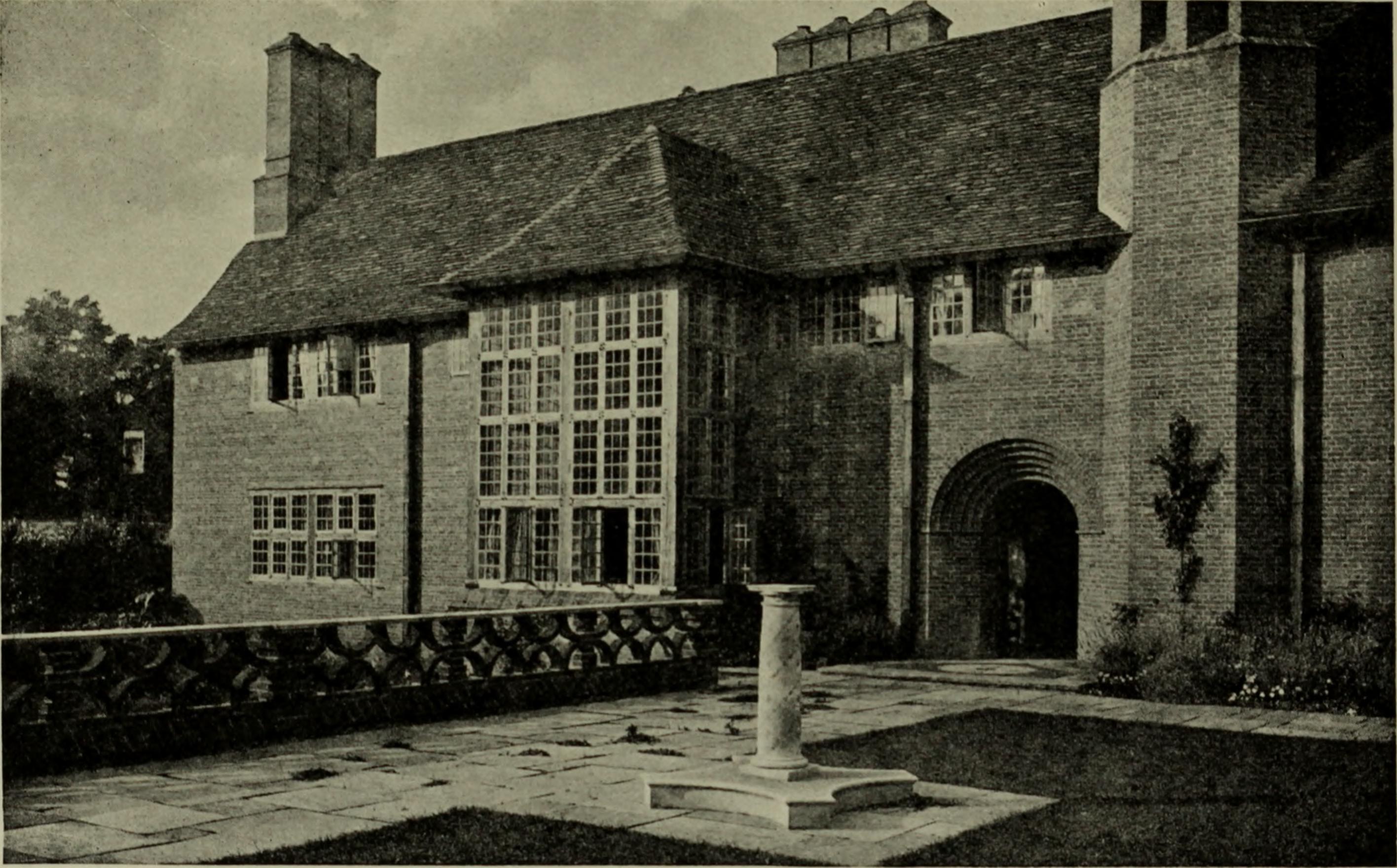
Deanery Garden
Deanery Garden (or The Deanery) is an Arts and Crafts style house and garden in Sonning, Berkshire, England. The house was designed and built by architect...

St Andrew's Church, Sonning
St Andrew's Church is Church of England parish church in a central position in the village of Sonning, close to the River Thames, in the English county...
Nearby Amenities
Located within 500m of 51.473634,-0.911324Have you been to Sonning?
Leave your review of Sonning below (or comments, questions and feedback).