Somerton
Settlement in Somerset South Somerset
England
Somerton
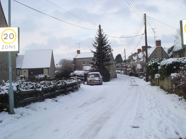
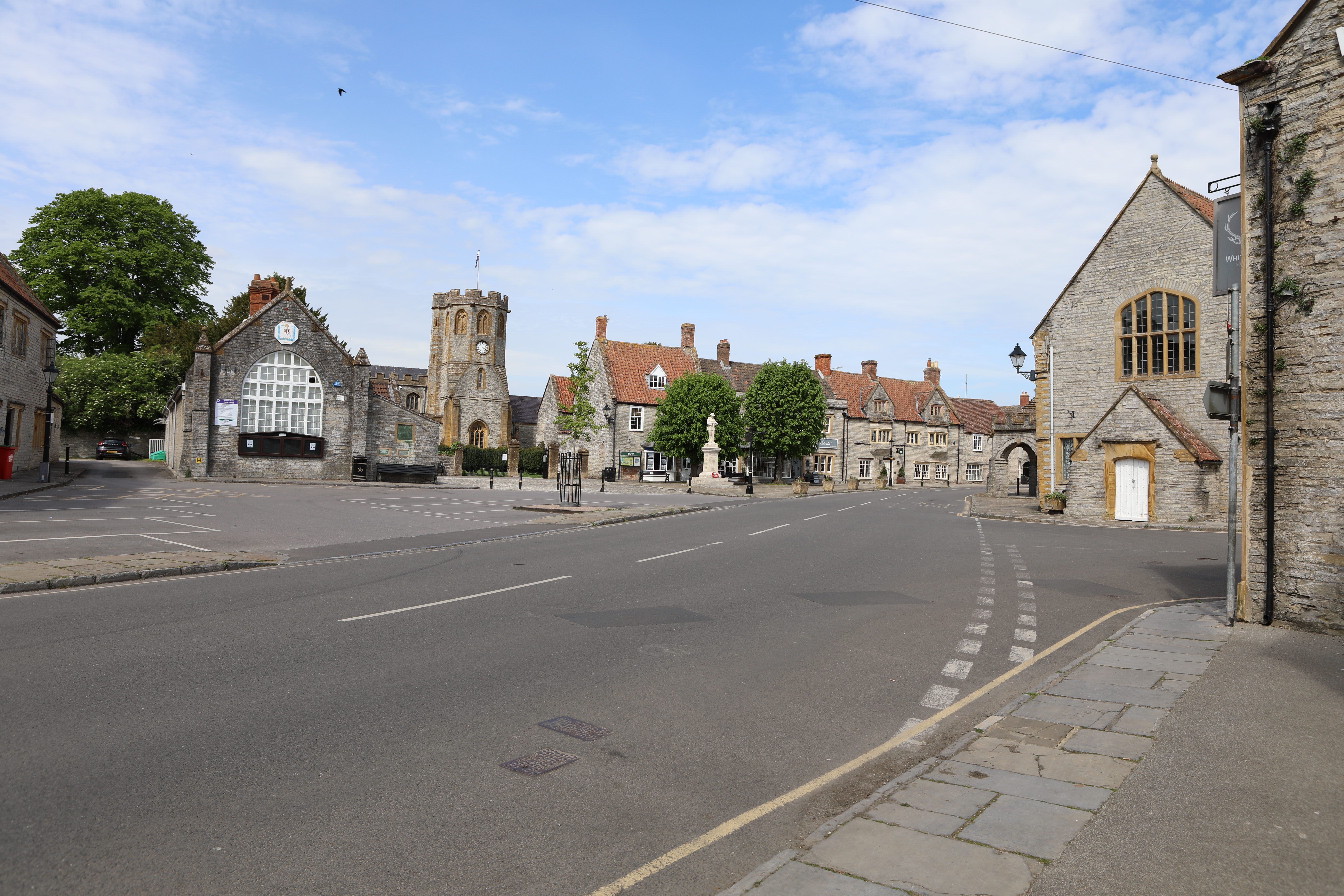
Somerton is a small town located in the county of Somerset, England. Situated about five miles north-east of Yeovil, it lies on the banks of the River Cary. With a population of approximately 5,800 people, it is the administrative center of the South Somerset district.
The town has a rich history, with evidence of human activity dating back to the Roman period. It was mentioned in the Domesday Book of 1086 and has since grown into a charming and picturesque settlement. The architecture of Somerton is predominantly medieval, with many old buildings and narrow streets that exude a sense of historical charm.
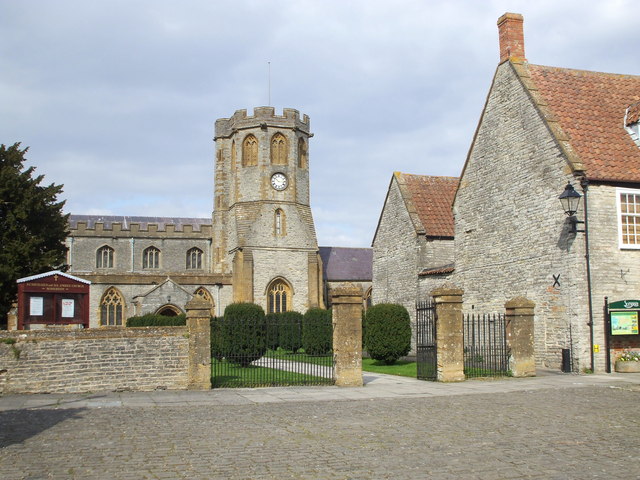
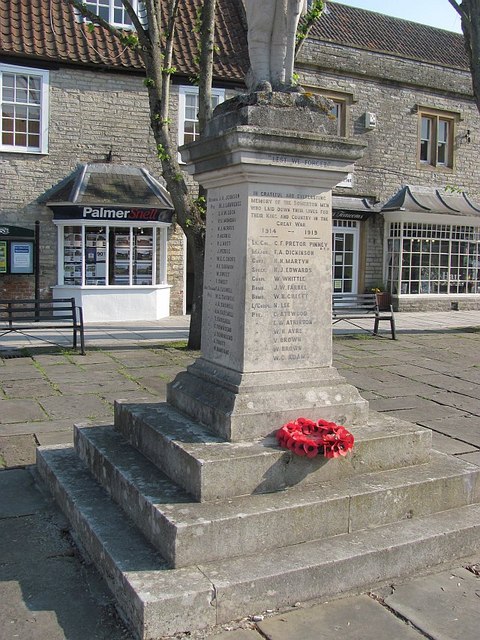
One of the most prominent landmarks in Somerton is the Church of St. Michael and All Angels, a magnificent medieval structure that dominates the town's skyline. Inside, visitors can admire its impressive stained glass windows and intricate carvings. The town also features a market square, where a weekly market has taken place for over 700 years.
Somerton is known for its vibrant community spirit, with numerous local events and festivals held throughout the year. These include the Somerton Music and Arts Festival, which showcases local talent and brings the community together. The town also offers a variety of amenities, including a library, primary school, shops, and cafes.
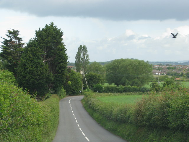
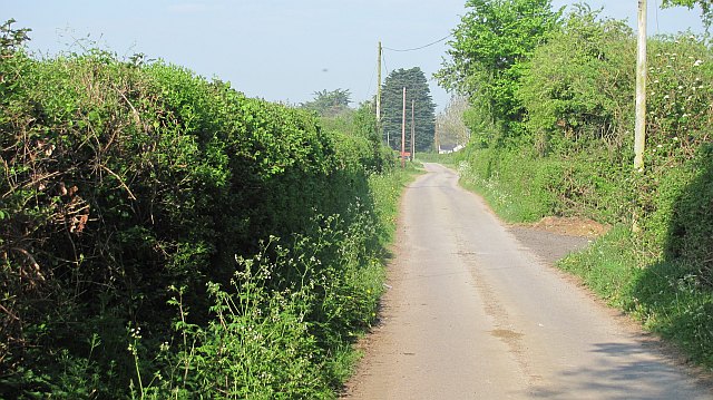
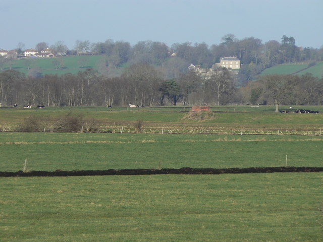
Surrounded by the beautiful Somerset countryside, Somerton is a popular destination for outdoor enthusiasts. The surrounding area provides ample opportunities for walking, cycling, and exploring the nearby nature reserves. Additionally, the town is conveniently located for those wishing to explore other attractions in Somerset, such as Glastonbury Tor and the city of Wells.
In conclusion, Somerton, Somerset, is a historic and picturesque town that offers a blend of medieval charm, community spirit, and access to the stunning Somerset countryside.
If you have any feedback on the listing, please let us know in the comments section below.
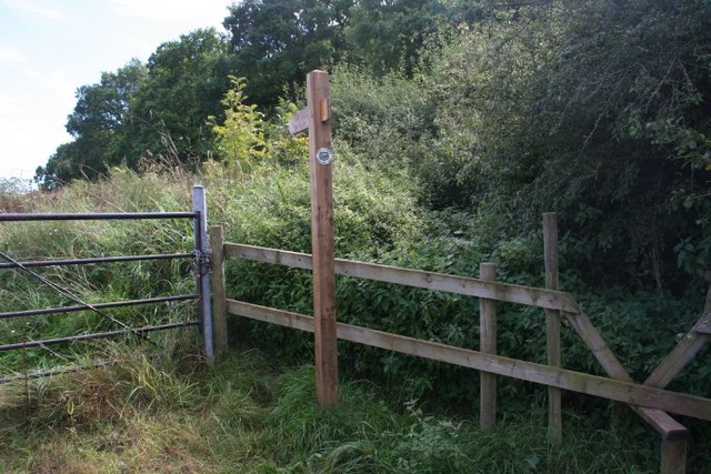
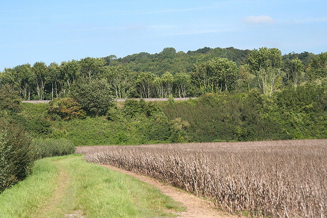
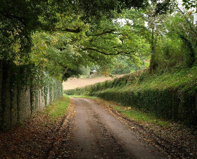
Somerton Images
Images are sourced within 2km of 51.053786/-2.7329203 or Grid Reference ST4828. Thanks to Geograph Open Source API. All images are credited.


Somerton is located at Grid Ref: ST4828 (Lat: 51.053786, Lng: -2.7329203)
Administrative County: Somerset
District: South Somerset
Police Authority: Avon and Somerset
What 3 Words
///winds.flamenco.squeezed. Near Ilchester, Somerset
Nearby Locations
Related Wikis

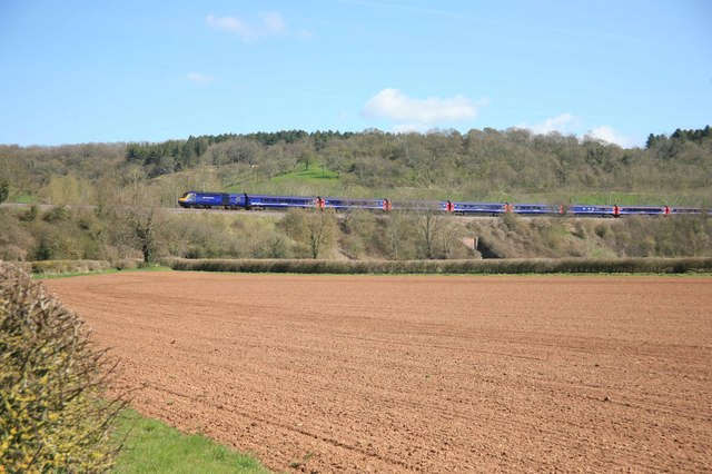
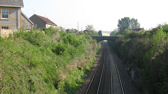
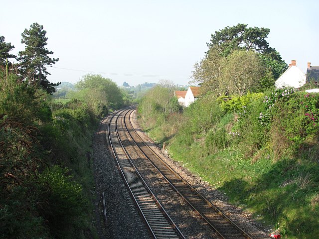
Somerton railway station
Somerton railway station (not to be confused with Fritwell & Somerton) was a railway station situated on the Great Western Railway's Langport and Castle...
Somerton, Somerset
Somerton ( SUM-ər-tən) is a town and civil parish in the English county of Somerset. It gave its name to the county and was briefly, around the start of...

Old Town Hall, Somerton
The Old Town Hall is a municipal building in the Market Place in Somerton, Somerset, England. The building, which is used as an arts centre, is a Grade...

Church of St Michael and All Angels, Somerton
The Church of St Michael and All Angels in Somerton, Somerset, England dates from the 13th century and has been designated as a Grade I listed building...
Mid Somerset Hills
The Mid Somerset Hills are a major natural region in the county of Somerset in southwest west England, forming a series of low hills and ridges that divide...

Somerton Viaduct
The Somerton Viaduct is a historic railway viaduct in the town of Somerton in Somerset, England. It is situated on the Langport and Castle Cary Railway...
Wessex (ward)
Wessex is an electoral ward of South Somerset District Council in Somerset, England. It is one of the wards that makes up the parliamentary constituency...
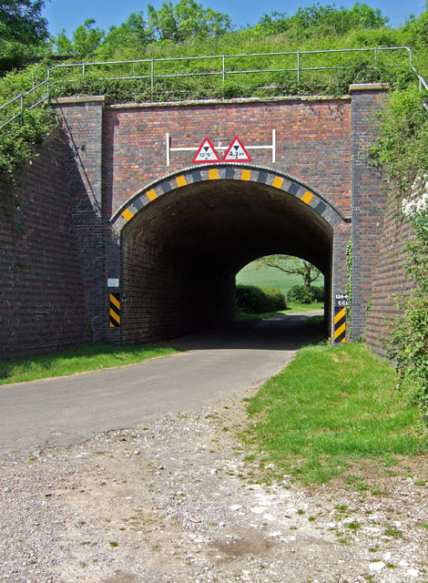
Somerton Tunnel
Somerton Tunnel is located between Somerton and Langport on the Reading to Taunton Line in Somerset, England.The tunnel was constructed by the Great Western...
Nearby Amenities
Located within 500m of 51.053786,-2.7329203Have you been to Somerton?
Leave your review of Somerton below (or comments, questions and feedback).