Adversane

Settlement in Sussex Horsham

England

Adversane

Lordings Lock (upper end and aqueduct) The acqueduct over the River Arun and the upper end of Lordings Lock, with the water-wheel to raise water from the river to the canal level on the left.
Lordings Lock (upper end and aqueduct) Credit: Hugh Craddock

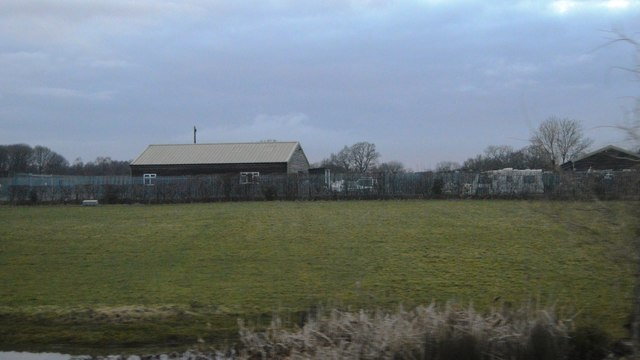
Adversane is a small village located in the beautiful county of Sussex, England. Situated along the River Arun, it is nestled in a picturesque countryside setting, surrounded by rolling hills, lush green fields, and charming woodlands.

Being a rural community, Adversane offers a peaceful and tranquil environment, making it an ideal escape from the hustle and bustle of city life. The village is known for its scenic beauty, with stunning views of the river and countryside that attract nature enthusiasts and photographers alike.

Despite its small size, Adversane has a rich history dating back many centuries. The village is home to several historic buildings, including a 13th-century church dedicated to St. Andrew. This ancient church, with its distinctive architecture, stands as a testament to the village's heritage.

While the village may lack in terms of amenities and facilities, it compensates with its close proximity to nearby towns and cities. Residents and visitors can easily access essential services and amenities in the neighboring towns of Billingshurst and Pulborough, which are just a short drive away.

Adversane also offers excellent opportunities for outdoor activities. The River Arun provides a serene setting for fishing, boating, and leisurely walks along its banks. The surrounding countryside is perfect for hiking, cycling, and exploring the natural beauty of Sussex.

In conclusion, Adversane is a charming village in Sussex that offers a peaceful and idyllic lifestyle. With its stunning countryside views, rich history, and close proximity to essential services, it is a hidden gem for those seeking a tranquil retreat.

If you have any feedback on the listing, please let us know in the comments section below.
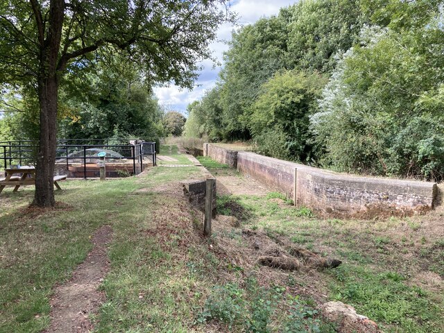
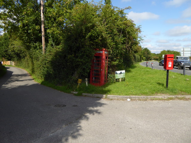
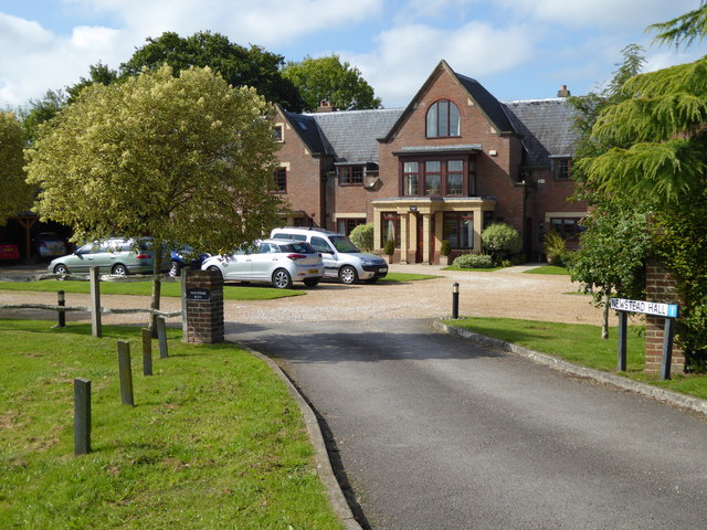
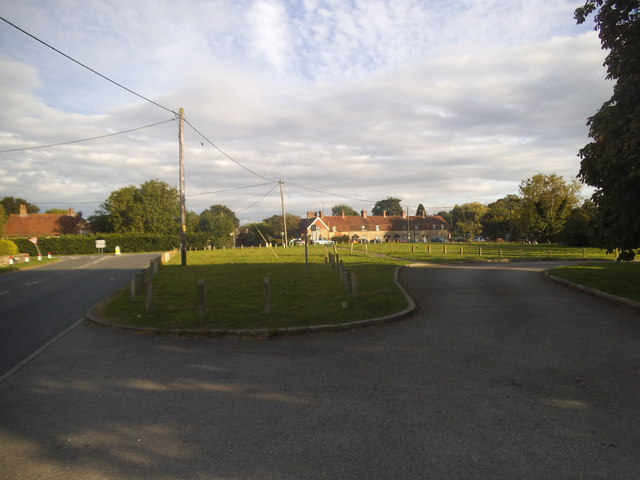
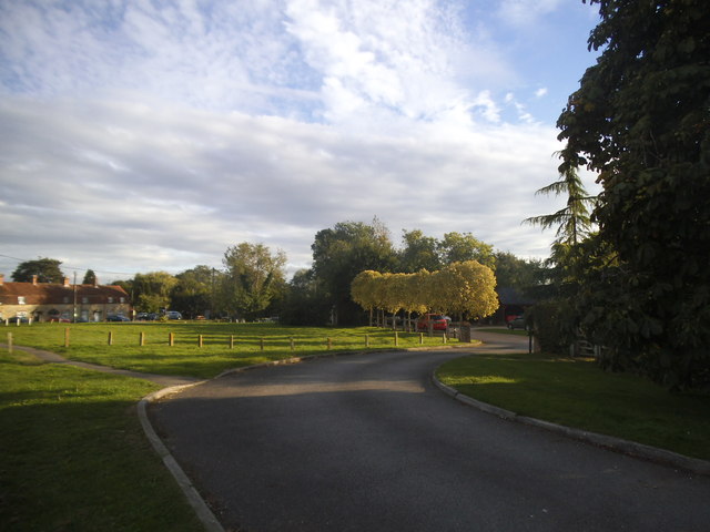
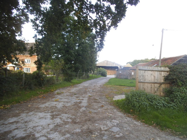
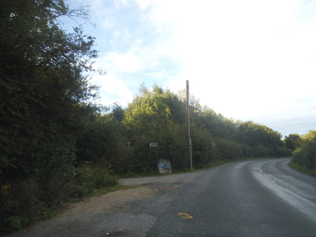
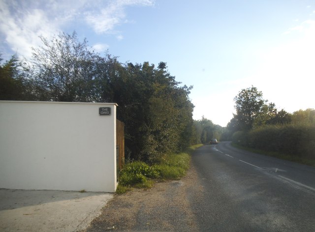
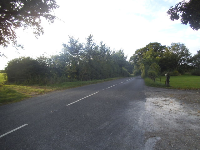
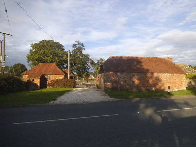
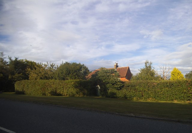
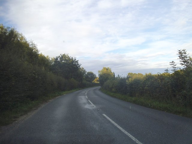
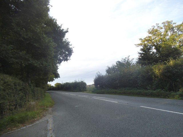
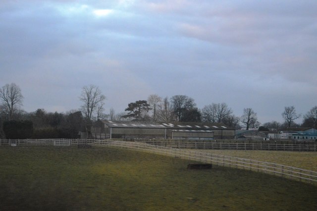
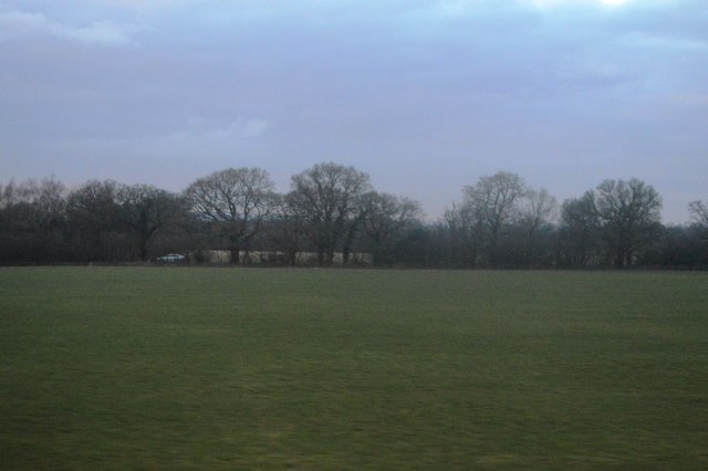
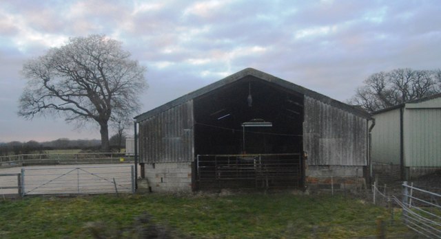
Adversane Images

Images are sourced within 2km of 50.997538/-0.474721 or Grid Reference TQ0723. Thanks to Geograph Open Source API. All images are credited.

Lordings Lock (upper end and aqueduct) The acqueduct over the River Arun and the upper end of Lordings Lock, with the water-wheel to raise water from the river to the canal level on the left.
Lordings Lock (upper end and aqueduct)
The acqueduct over the River Arun and the upper end of Lordings Lock, with the water-wheel to raise water from the river to the canal level on the left.
Telephone kiosk in Adversane Another view of the telephone box is at the first geograph for this grid square - see <a title="https://www.geograph.org.uk/photo/187183" href="https://www.geograph.org.uk/photo/187183">Link</a>.
Telephone kiosk in Adversane
Another view of the telephone box is at the first geograph for this grid square - see Link.
Newstead Hall
Newstead Hall
Green on Lordings Road, Adversane
The green, Adversane
Roundabout on the Billingshurst Bypass, Parbrook
Lordings Farm, Adversane
Lordings Road, Adversane
Lordings Road, Adversane The wall and fence has recently replaced a hedge
Lordings Road, Adversane
The wall and fence has recently replaced a hedge
Lordings Road, Adversane By the entrance to Lordings Farm
Lordings Road, Adversane
By the entrance to Lordings Farm
Southlands Farm, Adversane
Lordings Road, Adversane
Todhurst Farm
Todhurst Farm
Field by Stane Street
Gess Gate Farm
Gess Gate Farm
Six Acre Farm
Six Acre Farm
Show me another place!

Adversane is located at Grid Ref: TQ0723 (Lat: 50.997538, Lng: -0.474721)

Administrative County: West Sussex

District: Horsham

Police Authority: Sussex

What 3 Words

///madder.duplicate.journals. Near Billingshurst, West Sussex

Nearby Locations

Adversane

Related Wikis

Adversane

Adversane is a large hamlet in the Horsham District of West Sussex, England, located 1.5 miles south of Billingshurst (where, at the 2011 Census, the population...

A29 road

The A29 is a main road in England in Surrey and chiefly in West Sussex that runs for 34.4 miles (55.4 km). == Route == The road starts at the Beare Green...

North Heath

North Heath is a hamlet in the Horsham District of West Sussex, England. It lies just off the A29 road 1.9 miles (3 km) north of Pulborough. The Brinsbury...

River Kird

The River Kird is a river located in the Chichester District of West Sussex, England that is a tributary to the River Arun. It is located in South Downs...

The Weald School

The Weald School is a coeducational secondary school and sixth form. It caters for around 1,700 pupils in years 7 to 13, including over 300 in its sixth...

Billingshurst railway station

Billingshurst Railway Station serves the market town of Billingshurst, in West Sussex, England. It is on the Arun Valley Line 44 miles 71 chains (72.2...

Gay Street, West Sussex

Gay Street is a hamlet in the Horsham District of West Sussex, England. It lies on the North Heath to West Chiltington road 1.9 miles (3.1 km) northeast...

Upper Arun

Upper Arun is a 17.6-hectare (43-acre) biological Site of Special Scientific Interest between Billingshurst and Pulborough in West Sussex.This 13-kilometre...

Nearby Amenities

Located within 500m of 50.997538,-0.474721
Adversane
Is In: West Sussex, England, UK
Place: village
Source: npe
Wikidata: Q4686694
Lat/Long: 50.9983146/-0.4706801
Railway: level_crossing
Lat/Long: 50.9977671/-0.4677365
Booth: K6
Removed Amenity: telephone
Lat/Long: 50.9992496/-0.4716564
Post Box
Collection Times: Mo-Fr 17:00; Sa 08:30; Su off
Operator: Royal Mail
Post Box Type: lamp
Ref: RH14 7
Royal Cypher: EIIR
Royal Cypher Wikidata: Q33102113
Source: survey
Lat/Long: 50.9992645/-0.4715818
Bus Stop
Blacksmiths Arms PH
Naptan AtcoCode: 4400HR0066
Naptan Bearing: S
Naptan CommonName: Blacksmiths Arms PH
Naptan Indicator: opp Blacksmiths Arms P.H.
Naptan Landmark: Adversane Lane
Naptan NaptanCode: wsxatgwm
Naptan Street: Stane Street
Naptan Verified: no
Source: naptan_import
Lat/Long: 50.9983632/-0.4709799
Blacksmiths Arms PH
Naptan AtcoCode: 4400HR0067
Naptan Bearing: N
Naptan BusStopType: CUS
Naptan CommonName: Blacksmiths Arms PH
Naptan Indicator: adj Blacksmiths Arms P.H.
Naptan Landmark: Adversane Lane
Naptan NaptanCode: wsxatgwp
Naptan Street: Stane Street
Naptan Verified: no
Source: naptan_import
Lat/Long: 50.9984381/-0.4712055
A29
Naptan AtcoCode: 4400HR0673
Naptan Bearing: NE
Naptan BusStopType: CUS
Naptan CommonName: A29
Naptan Indicator: HAR
Naptan Landmark: Hail & Ride
Naptan NaptanCode: wsxdwama
Naptan Street: A29
Naptan Verified: no
Source: naptan_import
Lat/Long: 50.9939112/-0.4743896
A29
Naptan AtcoCode: 4400HR0674
Naptan Bearing: SW
Naptan BusStopType: CUS
Naptan CommonName: A29
Naptan Indicator: HAR
Naptan Landmark: Hail & Ride
Naptan NaptanCode: wsxdwamd
Naptan Street: A29
Naptan Verified: no
Source: naptan_import
Lat/Long: 50.993846/-0.4742207
Railway: level_crossing
Lat/Long: 50.9977544/-0.4676936
Sayers Farm
Place: farm
Lat/Long: 50.9979958/-0.4716044
The data included in this document is from www.openstreetmap.org. The data is made available under ODbL.

Have you been to Adversane?

Leave your review of Adversane below (or comments, questions and feedback).