Bleak Acre
Settlement in Herefordshire
England
Bleak Acre
Bleak Acre is a small village located in the county of Herefordshire, England. Situated in the idyllic Herefordshire countryside, the village is renowned for its picturesque landscapes, charming architecture, and rich history.
The village is characterized by its traditional stone cottages, which date back to the 17th and 18th centuries, giving it a timeless and rustic appeal. The surrounding area is predominantly agricultural, with lush green fields, rolling hills, and meandering streams, creating a tranquil and peaceful atmosphere.
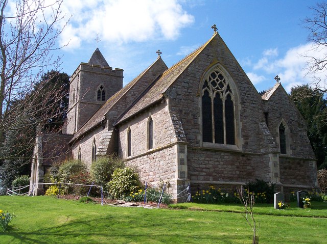
Bleak Acre is home to a close-knit community that takes pride in preserving the village's heritage and traditions. The local church, St. Mary's, is a prominent feature and holds regular services for residents and visitors alike. The churchyard is also a popular spot for those seeking a moment of reflection amidst the serene surroundings.
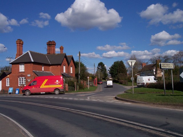
Despite its small size, Bleak Acre offers a range of amenities to cater to the needs of its residents. A local pub, The Bleak Inn, is a popular gathering place, serving up hearty meals and a selection of locally brewed ales. Additionally, there is a village shop that provides essential groceries and everyday supplies.
For those seeking outdoor activities, the surrounding countryside offers ample opportunities for walking, hiking, and cycling. Nearby attractions include Hereford Cathedral, which boasts stunning medieval architecture, and the historic Herefordshire Cider Museum, where visitors can learn about the region's cider-making heritage.
Overall, Bleak Acre combines the tranquility of rural living with a rich historical and cultural background, making it an appealing destination for both residents and tourists seeking a quintessential English village experience.
If you have any feedback on the listing, please let us know in the comments section below.
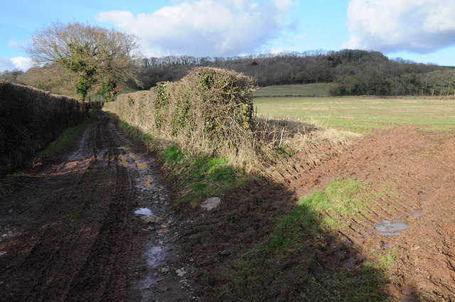
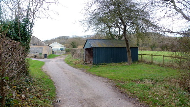
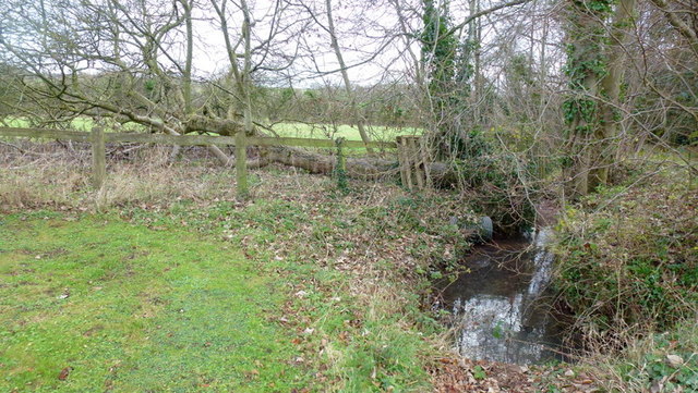
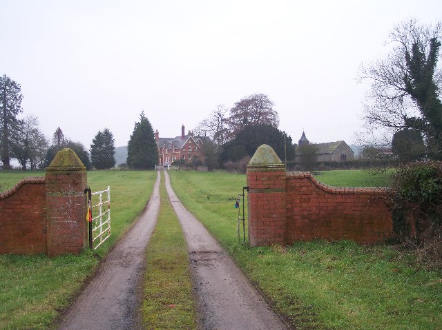
Bleak Acre Images
Images are sourced within 2km of 52.13784/-2.5858588 or Grid Reference SO6049. Thanks to Geograph Open Source API. All images are credited.


Bleak Acre is located at Grid Ref: SO6049 (Lat: 52.13784, Lng: -2.5858588)
Unitary Authority: County of Herefordshire
Police Authority: West Mercia
What 3 Words
///provide.habit.budgeted. Near Moreton Jeffries, Herefordshire
Nearby Locations
Related Wikis

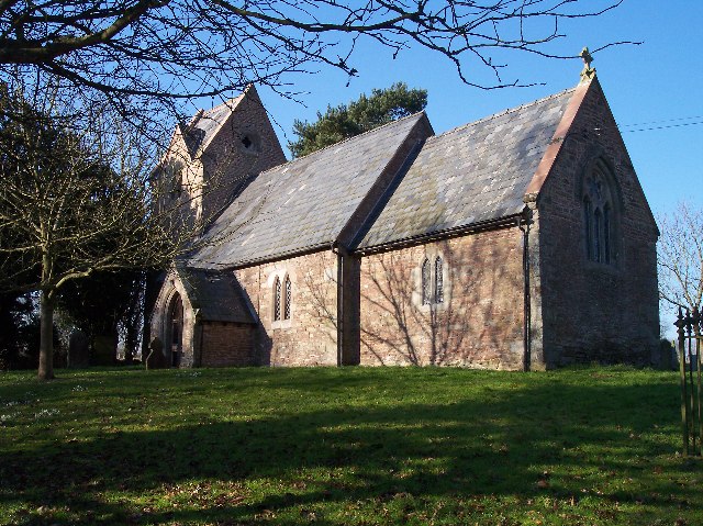
Moreton Jeffries Church
Moreton Jeffries Church is a redundant Anglican church in the hamlet of Moreton Jeffries, some 9 miles (14 km) northeast of Hereford, Herefordshire, England...

Moreton Jeffries
Moreton Jeffries (or Moreton Jefferies) is a hamlet in the English county of Herefordshire. It is situated off the A465 between Stoke Lacy and Burley Gate...
Ullingswick
Ullingswick is a small village in Herefordshire, England located about 6 miles (9.7 km) south west of Bromyard, 9 miles (14 km) north east of Hereford...
Burley Gate
Burley Gate is a hamlet in Herefordshire, England. It is north-east from the junction between the A465 road and the A417 road. The hamlet is divided between...

Stoke Lacy
Stoke Lacy is a small village and civil parish in the English county of Herefordshire. Stoke Lacy lies on the main A465 road that connects Hereford and...
Felton, Herefordshire
Felton is a small village and civil parish in the county of Herefordshire, England, and is 7 miles (11 km) north-east from the city and county town of...
Little Cowarne
Little Cowarne is a village and civil parish in the county of Herefordshire, England, and is 9 miles (14 km) north-east from the city and county town of...

Ocle Pychard
Ocle Pychard is a hamlet and parish near Burley Gate, in Herefordshire, England, 3.25 miles (5.23 km) northwest of Stoke Edith, 6 miles (9.7 km) southwest...
Nearby Amenities
Located within 500m of 52.13784,-2.5858588Have you been to Bleak Acre?
Leave your review of Bleak Acre below (or comments, questions and feedback).