Slough Hill

Settlement in Suffolk Babergh

England

Slough Hill

Shimpling Road, heading towards Lawshall
Shimpling Road, heading towards Lawshall Credit: Robert Edwards

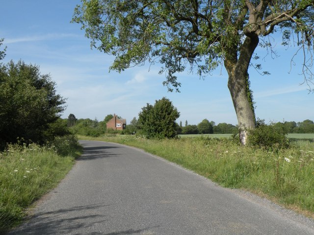
Slough Hill is a picturesque village located in the county of Suffolk, England. Situated just two miles north of the town of Clare, it is nestled amidst the stunning countryside of East Anglia. The village is characterized by its quaint charm, with traditional thatched cottages, historic buildings, and lush green landscapes.

One of the notable landmarks in Slough Hill is the St. Peter’s Church, a beautiful medieval structure that dates back to the 13th century. This historic church not only serves as a place of worship but also stands as a testament to the village's rich heritage.

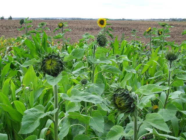
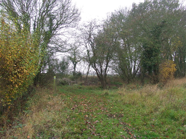
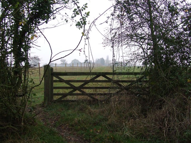
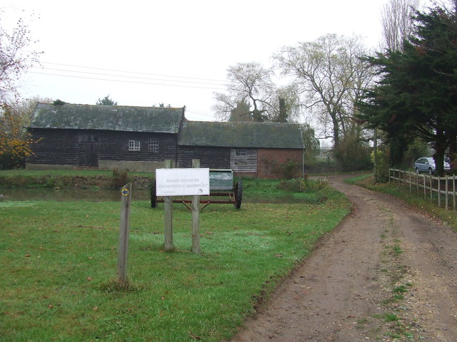
The village is surrounded by rolling hills and expansive fields, making it an ideal destination for nature enthusiasts and outdoor activities. The nearby Slough Hill Farm offers visitors the opportunity to experience rural life firsthand, with its working farm and interactive experiences for all ages. The farm also boasts a café serving delicious homemade treats and a farm shop where visitors can purchase fresh produce and locally sourced products.

For those seeking a taste of history, Slough Hill is conveniently located near several other historical sites, such as Clare Castle, Hedingham Castle, and Long Melford. These attractions offer a glimpse into the region's past and provide opportunities for exploration and learning.

Slough Hill is a close-knit community, known for its friendly and welcoming atmosphere. The village hosts various events throughout the year, including fairs, festivals, and community gatherings. These events bring residents and visitors together, fostering a strong sense of community spirit.

Overall, Slough Hill is a charming village that offers a blend of natural beauty, historical significance, and a warm community atmosphere. It is a hidden gem within Suffolk's countryside, inviting visitors to relax, explore, and immerse themselves in its unique ambiance.

If you have any feedback on the listing, please let us know in the comments section below.
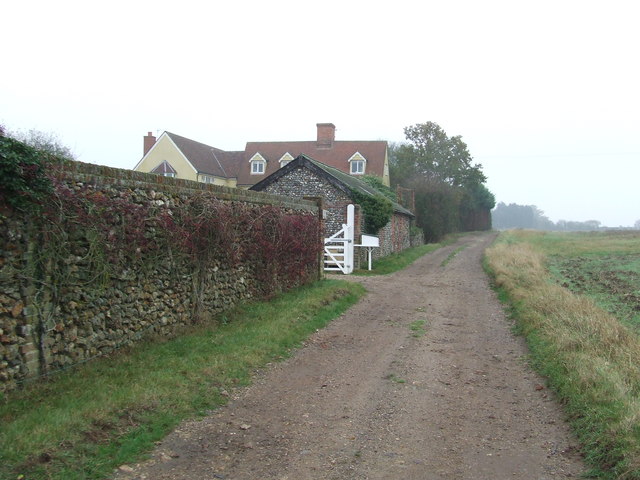
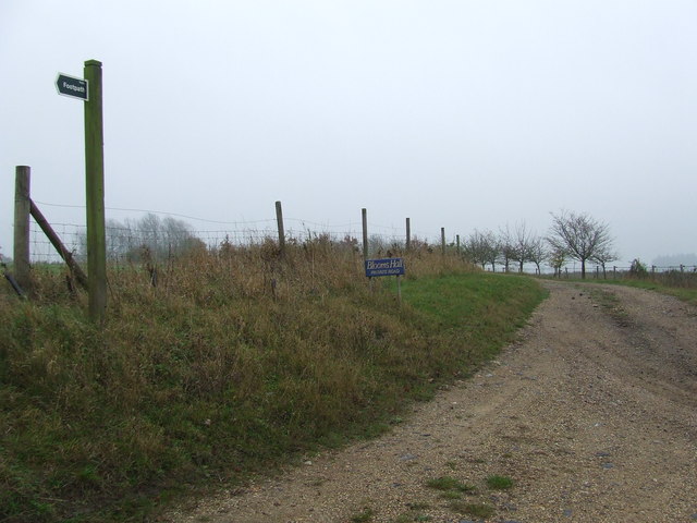
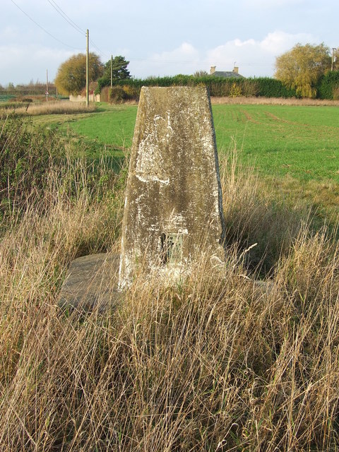
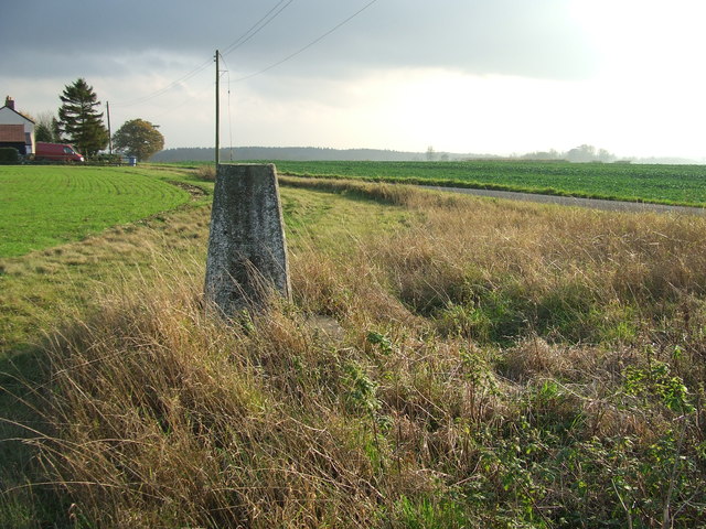
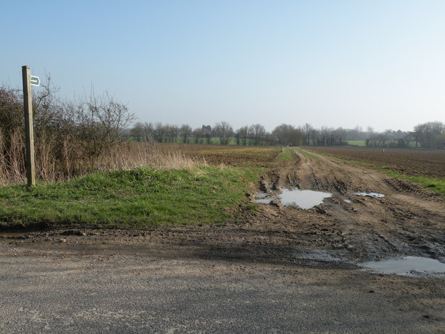
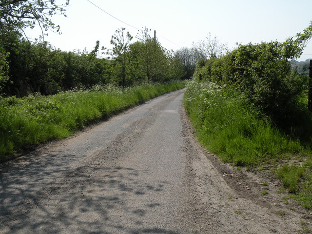
Slough Hill Images

Images are sourced within 2km of 52.134986/0.71630995 or Grid Reference TL8652. Thanks to Geograph Open Source API. All images are credited.

Shimpling Road, heading towards Lawshall
Footpath to Shimpling Street from Shimpling Road
Part of Shimpling Road in Lawshall
Nuclear Monitoring Post Surface parts of a now unused Royal Observer Corps nuclear monitoring post near to Hartest, Suffolk see <span class="nowrap"><a title="http://www.subbrit.org.uk/rsg/roc/db/988807445.019002.html" rel="nofollow ugc noopener" href="http://www.subbrit.org.uk/rsg/roc/db/988807445.019002.html">Link</a><img style="margin-left:2px;" alt="External link" title="External link - shift click to open in new window" src="https://s1.geograph.org.uk/img/external.png" width="10" height="10"/></span> and <span class="nowrap"><a title="http://en.wikipedia.org/wiki/Royal_Observer_Corps_Monitoring_Post" rel="nofollow ugc noopener" href="http://en.wikipedia.org/wiki/Royal_Observer_Corps_Monitoring_Post">Link</a><img style="margin-left:2px;" alt="External link" title="External link - shift click to open in new window" src="https://s1.geograph.org.uk/img/external.png" width="10" height="10"/></span> for more info.
Nuclear Monitoring Post
Surface parts of a now unused Royal Observer Corps nuclear monitoring post near to Hartest, Suffolk see LinkExternal link and LinkExternal link for more info.
Barns Barns at Lord's Farm near to Hartest, Suffolk.
Barns
Barns at Lord's Farm near to Hartest, Suffolk.
Start Of Public Road Start of the public road near to Hartest, Suffolk.
Start Of Public Road
Start of the public road near to Hartest, Suffolk.
Keep To Footpath Local signs added to public footpath sign near to Hartest, Suffolk.
Keep To Footpath
Local signs added to public footpath sign near to Hartest, Suffolk.
Sunflowers Sunflowers near to Hartest, Suffolk.
Sunflowers
Sunflowers near to Hartest, Suffolk.
Footpath Footpath near to Shimpling, Suffolk.
Footpath
Footpath near to Shimpling, Suffolk.
5 Bar Gate 5 Bar gate near to Shimpling, Suffolk.
5 Bar Gate
5 Bar gate near to Shimpling, Suffolk.
Mount Farm Mount Farm near to Shimpling, Suffolk.
Mount Farm
Mount Farm near to Shimpling, Suffolk.
Coppin's Farm Coppin's farm near to Shimpling, Suffolk.
Coppin's Farm
Coppin's farm near to Shimpling, Suffolk.
Track To Blooms Hall Track leading to Blooms Hall near to Stanstead, Suffolk.
Track To Blooms Hall
Track leading to Blooms Hall near to Stanstead, Suffolk.
Top Of A Trig Point The top of a trig point near to Hartest, Suffolk.
Top Of A Trig Point
The top of a trig point near to Hartest, Suffolk.
Trig Point Trig point near to Hartest, Suffolk.
Trig Point
Trig point near to Hartest, Suffolk.
View From A Trig Point Trig point near to Hartest, Suffolk.
View From A Trig Point
Trig point near to Hartest, Suffolk.
Footpath near Shimpling Street
Part of Chadacre Road near Hartest
Show me another place!

Slough Hill is located at Grid Ref: TL8652 (Lat: 52.134986, Lng: 0.71630995)

Administrative County: Suffolk

District: Babergh

Police Authority: Suffolk

What 3 Words

///redouble.indirect.loopholes. Near Glemsford, Suffolk

Nearby Locations

Slough Hill

Related Wikis

Shimpling

Shimpling is a village and civil parish in south Suffolk, England. About 7 miles (11 km) from Bury St Edmunds, it is part of Babergh district. The village...

Hibb's Green

Hibb's Green is a hamlet in the civil parish of Lawshall in the Babergh district in the county of Suffolk, England. It is located between Hanningfield...

Audley End, Suffolk

Audley End is a hamlet in the civil parish of Lawshall in the Babergh district in the county of Suffolk, England. It is located between Lambs Lane and...

Frithy and Chadacre Woods

Frithy and Chadacre Woods is a 28.7-hectare (71-acre) biological Site of Special Scientific Interest (SSSI) in the parishes of Lawshall and Shimpling in...

Nearby Amenities

Located within 500m of 52.134986,0.71630995
Shimpling
Created By: Potlatch 0.10b
Place: village
Wikidata: Q2632040
Lat/Long: 52.134743/0.7198868
Bus Stop
Mill Hill
Naptan AtcoCode: 390010194
Naptan Bearing: S
Naptan BusStopType: CUS
Naptan CommonName: Mill Hill
Naptan Indicator: S-bound
Naptan Landmark: Mill Hill
Naptan NaptanCode: sufadmwm
Naptan Street: Mill Hill
Naptan Verified: no
Source: naptan_import
Lat/Long: 52.1329691/0.7158384
Bus Stop
Mill Hill
Naptan AtcoCode: 390010195
Naptan Bearing: N
Naptan BusStopType: CUS
Naptan CommonName: Mill Hill
Naptan Indicator: N-bound
Naptan Landmark: Mill Hill
Naptan NaptanCode: sufadmwp
Naptan Street: Mill Hill
Naptan Verified: no
Source: naptan_import
Lat/Long: 52.1328827/0.715687
Post Box
Ref: IP29 8214
Lat/Long: 52.1307599/0.7149723
Give Way
Lat/Long: 52.1365585/0.7128453
Give Way
Lat/Long: 52.1329944/0.7155591
Give Way
Lat/Long: 52.1330452/0.7157339
Power: pole
Source: Bing
Lat/Long: 52.1336927/0.7157381
Power: pole
Source: Bing
Lat/Long: 52.1367628/0.7129902
Power: pole
Source: Bing
Lat/Long: 52.1345483/0.7157104
Power: pole
Source: Bing
Lat/Long: 52.135386/0.7156372
Power: pole
Source: Bing
Lat/Long: 52.1362156/0.7155651
Power: pole
Source: Bing
Lat/Long: 52.1363607/0.7148995
Power: pole
Source: Bing
Lat/Long: 52.1364952/0.7142634
Power: pole
Source: Bing
Lat/Long: 52.136635/0.7136217
Passing Place
Lat/Long: 52.1371815/0.7110232
Give Way
Lat/Long: 52.1328451/0.7157736
The data included in this document is from www.openstreetmap.org. The data is made available under ODbL.

Have you been to Slough Hill?

Leave your review of Slough Hill below (or comments, questions and feedback).