Slepe

Settlement in Dorset

England

Slepe

Entrance to Solar Farm
Entrance to Solar Farm Credit: Alex McGregor

Slepe is a small village located in the county of Dorset, in the southwest of England. Situated approximately 8 miles southeast of the town of Dorchester, Slepe is nestled in the picturesque Piddle Valley, surrounded by rolling hills and lush green countryside. The village falls within the administrative district of West Dorset.

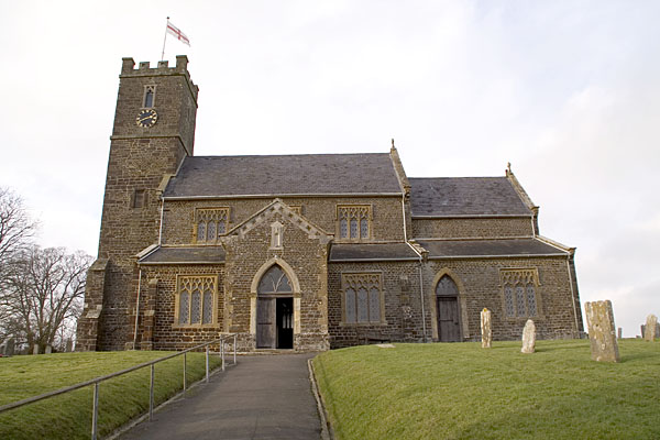
With a population of around 250 residents, Slepe maintains a tight-knit and friendly community atmosphere. The village is known for its charming thatched cottages, which give it a quintessentially English feel. The village church, St. Michael and All Angels, is a notable landmark and dates back to the 12th century.

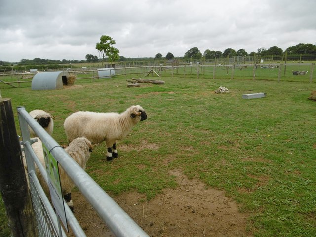
Slepe is primarily an agricultural community, with farming playing a significant role in the local economy. The fertile land in the Piddle Valley allows for the cultivation of crops and the rearing of livestock. In addition to farming, some residents are employed in nearby towns and villages, commuting to work.

Although Slepe is a small village, it benefits from its proximity to larger towns and amenities. The nearby town of Dorchester offers a range of shops, restaurants, and leisure facilities. The surrounding Dorset countryside provides ample opportunities for outdoor activities such as hiking, cycling, and fishing.

Slepe is well-connected to the rest of Dorset via a network of roads, making it easily accessible by car. Public transportation options are limited, with buses servicing the village on a limited schedule. However, the village's tranquil and idyllic setting makes it an attractive destination for those seeking a peaceful retreat or a base from which to explore the surrounding countryside.

If you have any feedback on the listing, please let us know in the comments section below.
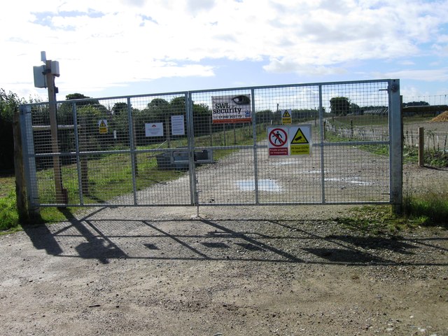
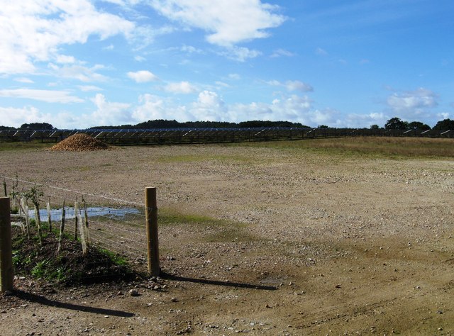
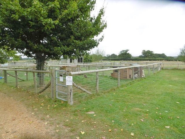
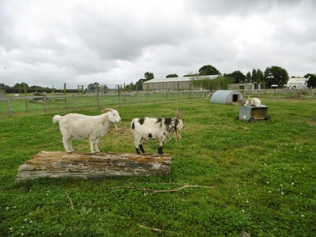
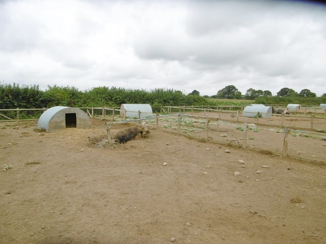
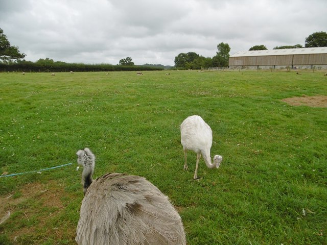
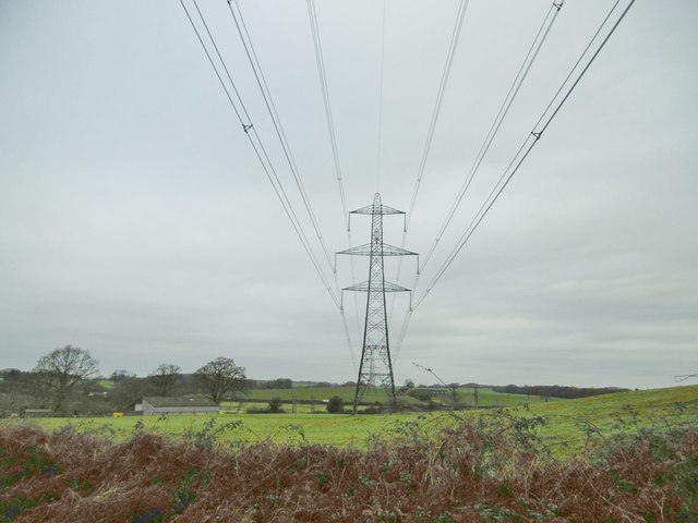
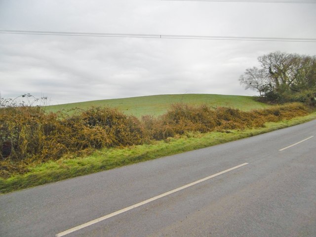
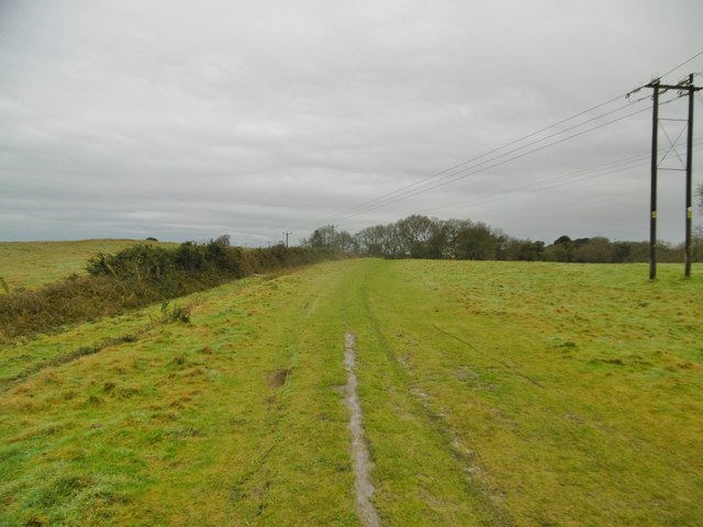
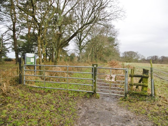
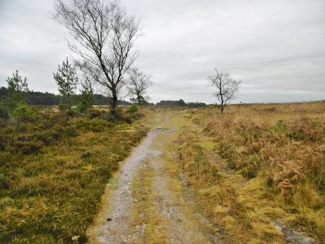
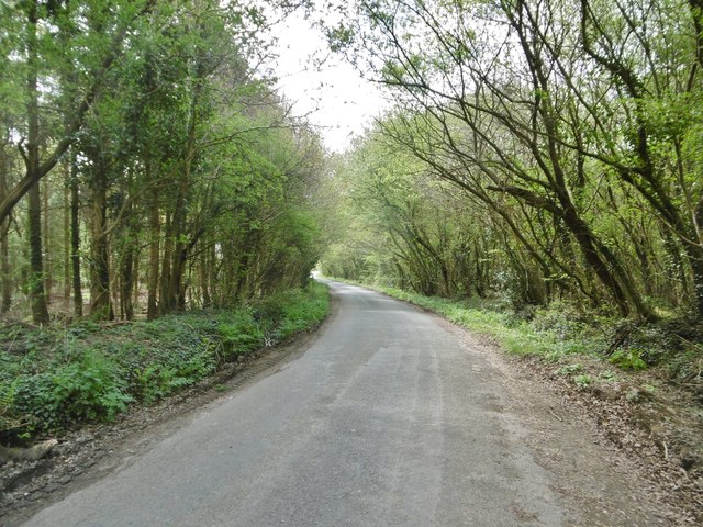
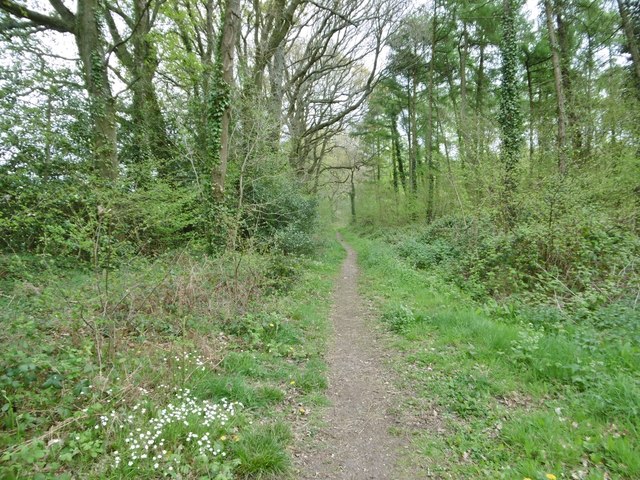
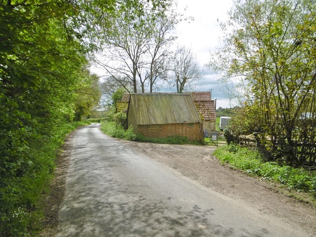
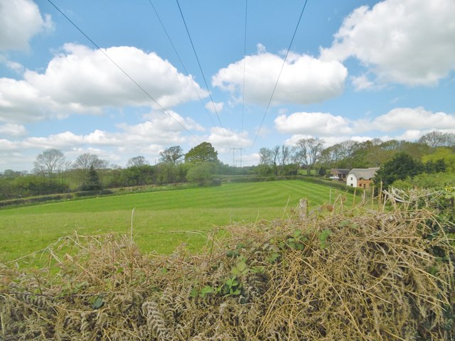
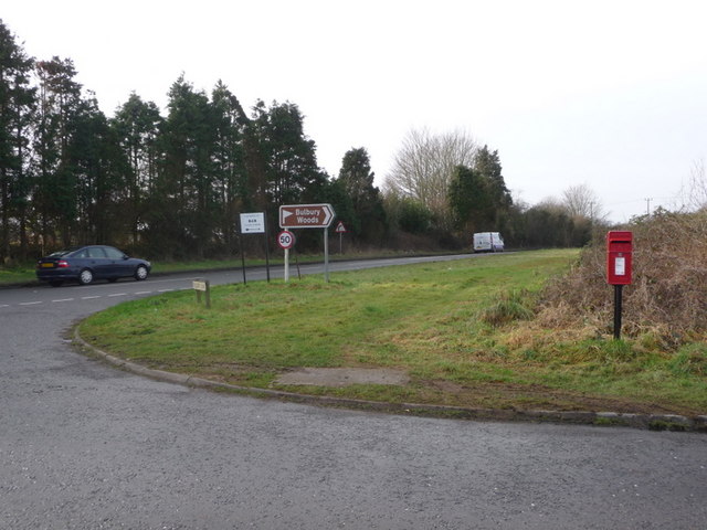
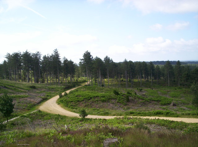
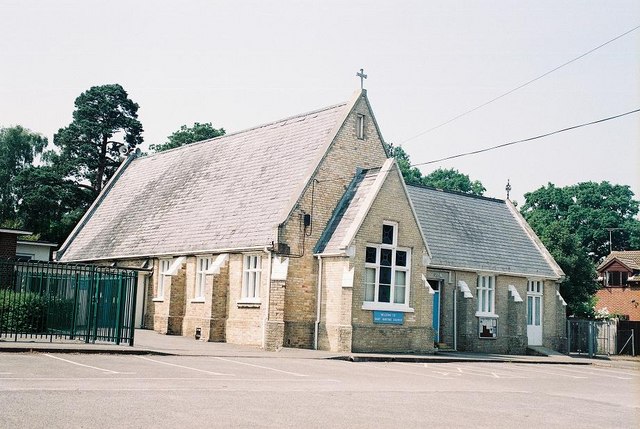
Slepe Images

Images are sourced within 2km of 50.738285/-2.1021789 or Grid Reference SY9293. Thanks to Geograph Open Source API. All images are credited.

Entrance to Solar Farm
Solar Farm
Solar Farm
Organford, poultry enclosure At Farmer Palmers Farm Park: <span class="nowrap"><a title="http://farmerpalmers.co.uk/" rel="nofollow ugc noopener" href="http://farmerpalmers.co.uk/">Link</a><img style="margin-left:2px;" alt="External link" title="External link - shift click to open in new window" src="https://s1.geograph.org.uk/img/external.png" width="10" height="10"/></span>
Organford, poultry enclosure
At Farmer Palmers Farm Park: LinkExternal link
Organford, sheep Valais sheep at Farmer Palmers Park Farm: <span class="nowrap"><a title="http://farmerpalmers.co.uk/" rel="nofollow ugc noopener" href="http://farmerpalmers.co.uk/">Link</a><img style="margin-left:2px;" alt="External link" title="External link - shift click to open in new window" src="https://s1.geograph.org.uk/img/external.png" width="10" height="10"/></span>
Organford, sheep
Valais sheep at Farmer Palmers Park Farm: LinkExternal link
Organford, goats Angora goats at Farmer Palmers Farm Park: <span class="nowrap"><a title="http://farmerpalmers.co.uk/" rel="nofollow ugc noopener" href="http://farmerpalmers.co.uk/">Link</a><img style="margin-left:2px;" alt="External link" title="External link - shift click to open in new window" src="https://s1.geograph.org.uk/img/external.png" width="10" height="10"/></span>
Organford, goats
Angora goats at Farmer Palmers Farm Park: LinkExternal link
Organford, pigs Kune Kune pigs at Farmer Palmers Farm Park: <span class="nowrap"><a title="http://farmerpalmers.co.uk/" rel="nofollow ugc noopener" href="http://farmerpalmers.co.uk/">Link</a><img style="margin-left:2px;" alt="External link" title="External link - shift click to open in new window" src="https://s1.geograph.org.uk/img/external.png" width="10" height="10"/></span>
Organford, pigs
Kune Kune pigs at Farmer Palmers Farm Park: LinkExternal link
Organford, rheas In the sheep enclosure at Farmer Palmers Farm Park: <span class="nowrap"><a title="http://farmerpalmers.co.uk/" rel="nofollow ugc noopener" href="http://farmerpalmers.co.uk/">Link</a><img style="margin-left:2px;" alt="External link" title="External link - shift click to open in new window" src="https://s1.geograph.org.uk/img/external.png" width="10" height="10"/></span>
Organford, rheas
In the sheep enclosure at Farmer Palmers Farm Park: LinkExternal link
Sherford, power lines
Sherford, Chitten Hill
Sherford, bridleway Across farmland to Stroud Bridge.
Sherford, bridleway
Across farmland to Stroud Bridge.
Morden, gate On the bridleway to Stroud Bridge. To the left is an entrance to Morden Bog National Nature Reserve: <span class="nowrap"><a title="https://www.wildlifetrusts.org/who-we-are/history/rothschild-reserves/wareham-heath-dorset" rel="nofollow ugc noopener" href="https://www.wildlifetrusts.org/who-we-are/history/rothschild-reserves/wareham-heath-dorset">Link</a><img style="margin-left:2px;" alt="External link" title="External link - shift click to open in new window" src="https://s1.geograph.org.uk/img/external.png" width="10" height="10"/></span>
Morden, gate
On the bridleway to Stroud Bridge. To the left is an entrance to Morden Bog National Nature Reserve: LinkExternal link
Morden, track Across the northern (drier) part of Morden Bog National Nature Reserve: <span class="nowrap"><a title="https://www.wildlifetrusts.org/who-we-are/history/rothschild-reserves/wareham-heath-dorset" rel="nofollow ugc noopener" href="https://www.wildlifetrusts.org/who-we-are/history/rothschild-reserves/wareham-heath-dorset">Link</a><img style="margin-left:2px;" alt="External link" title="External link - shift click to open in new window" src="https://s1.geograph.org.uk/img/external.png" width="10" height="10"/></span>
Morden, track
Across the northern (drier) part of Morden Bog National Nature Reserve: LinkExternal link
Morden, heathland In the northern (drier) part of Morden Bog National Nature Reserve: <span class="nowrap"><a title="https://www.wildlifetrusts.org/who-we-are/history/rothschild-reserves/wareham-heath-dorset" rel="nofollow ugc noopener" href="https://www.wildlifetrusts.org/who-we-are/history/rothschild-reserves/wareham-heath-dorset">Link</a><img style="margin-left:2px;" alt="External link" title="External link - shift click to open in new window" src="https://s1.geograph.org.uk/img/external.png" width="10" height="10"/></span> Flowering gorse lends some colour to an otherwise sombre scene.
Morden, heathland
In the northern (drier) part of Morden Bog National Nature Reserve: LinkExternal link Flowering gorse lends some colour to an otherwise sombre scene.
Organford, Foxhills Road Through woodland, from Lytchett Matravers to A35.
Organford, Foxhills Road
Through woodland, from Lytchett Matravers to A35.
Lytchett Matravers, footpath Skirting woodland, from Foxhills Road to Post Green. Note the stitchwort in bloom.
Lytchett Matravers, footpath
Skirting woodland, from Foxhills Road to Post Green. Note the stitchwort in bloom.
Organford, Old Dairy On Foxhills Road; advertised as forge and craft centre.
Organford, Old Dairy
On Foxhills Road; advertised as forge and craft centre.
Lytchett Matravers, Foxhills Road Country road from A35 to the village.
Lytchett Matravers, Foxhills Road
Country road from A35 to the village.
Lytchett Matravers, power lines Striding across grazing land.
Lytchett Matravers, power lines
Striding across grazing land.
Show me another place!

Slepe is located at Grid Ref: SY9293 (Lat: 50.738285, Lng: -2.1021789)

Unitary Authority: Dorset

Police Authority: Dorset

What 3 Words

///thinks.utensil.dean. Near Lytchett Matravers, Dorset

Nearby Locations

Bulbury Coppice Slepe

Related Wikis

Slepe

Slepe is a hamlet in the county of Dorset, England. It is located on the A35 east of Organford. == References ==

Organford

Organford is a hamlet in the county of Dorset, England. It is located just south of the A35 between Lytchett Minster and Slepe. == References ==

Gore Heath

Gore Heath is an area of coniferous woodland and open heathland forming part of Wareham Forest west of the Poole-Bournemouth conurbation in south Dorset...

Wareham St Martin

Wareham St Martin is a civil parish in the English county of Dorset. The parish spreads across a large, and mostly rural area to the north of the town...

Morden, Dorset

Morden (otherwise Moreden) is a civil parish in the Purbeck district of south Dorset, England. Morden is about 6 miles (10 km) north-west of Poole. At...

Decoy Heath

Decoy Heath is an area of open heathland and bog forming part of Wareham Forest west of the Poole-Bournemouth conurbation in south Dorset, England. It...

Lytchett Matravers

Lytchett Matravers is a large village and civil parish in Dorset, England. The 2011 census recorded the parish as having 1,439 households and a population...

Loosebarrow Hundred

Loosebarrow Hundred was a hundred in the county of Dorset, England, containing the following parishes: Almer Morden Spetisbury == See also == List of...

Nearby Amenities

Located within 500m of 50.738285,-2.1021789
Post Box
Collection Times: Mo-Fr 09:00; Sa 07:00
Date: 2022-12-16
Operator: Royal Mail
Post Box Type: lamp
Ref: BH16 85D
Ref GB Uprn: 10015294640
Royal Cypher: EIIR
Royal Cypher Wikidata: Q33102113
Lat/Long: 50.7393856/-2.102467
Material: wood
Power: pole
Ref: 80
Source: bing
Source Ref: interpolation
Lat/Long: 50.7369614/-2.108555
Material: wood
Power: pole
Source: bing
Lat/Long: 50.7370754/-2.1086036
Material: wood
Power: pole
Ref: 79
Source: bing
Source Ref: interpolation
Lat/Long: 50.7375859/-2.1076505
Material: wood
Power: pole
Source: bing
Lat/Long: 50.7376487/-2.1077565
Material: wood
Power: pole
Ref: 78
Source: bing
Source Ref: interpolation
Lat/Long: 50.7384339/-2.1063987
Material: wood
Power: pole
Source: bing
Lat/Long: 50.7384951/-2.1065083
Material: wood
Power: pole
Ref: 77
Source: bing
Source Ref: interpolation
Lat/Long: 50.739172/-2.105304
Material: wood
Power: pole
Source: bing
Lat/Long: 50.7392913/-2.1053513
Material: wood
Power: pole
Ref: 76
Source: bing
Source Ref: interpolation
Lat/Long: 50.7399032/-2.1042309
Material: wood
Power: pole
Source: bing
Lat/Long: 50.7399799/-2.1043219
Material: wood
Power: pole
Ref: 75
Source: survey
Source Ref: survey
Lat/Long: 50.7406873/-2.1030859
Material: wood
Power: pole
Source: bing
Lat/Long: 50.7407793/-2.1031399
Material: wood
Power: pole
Ref: 74
Source: bing
Source Ref: interpolation
Lat/Long: 50.7414959/-2.1019066
Material: wood
Power: pole
Ref: 73
Source: bing
Source Ref: interpolation
Lat/Long: 50.7420935/-2.1010068
Material: wood
Power: pole
Source: bing
Lat/Long: 50.7421603/-2.1011403
Location Transition: yes
Material: wood
Note: Switch between overhead and underground
Power: pole
Ref: 72
Source: survey
Source Ref: interpolation
Switch: mechanical
Lat/Long: 50.7422858/-2.0996856
Material: wood
Power: pole
Source: survey
Lat/Long: 50.7423412/-2.0997066
Material: wood
Power: pole
Source: bing
Lat/Long: 50.7400842/-2.1079844
Material: wood
Power: pole
Source: bing
Lat/Long: 50.7365994/-2.1035712
Material: wood
Power: pole
Source: bing
Lat/Long: 50.7370856/-2.1029046
Material: wood
Power: pole
Source: bing
Lat/Long: 50.7380602/-2.1025708
Material: wood
Power: pole
Source: bing
Transformer: distribution
Lat/Long: 50.7390149/-2.1022338
Power: pole
Lat/Long: 50.7414363/-2.1022336
Power: pole
Source: bing
Lat/Long: 50.7405494/-2.1060799
Power: pole
Source: bing
Lat/Long: 50.7407935/-2.1051311
Power: pole
Source: bing
Lat/Long: 50.74164/-2.1043941
Power: pole
Source: bing
Transformer: distribution
Lat/Long: 50.7424887/-2.1036552
Slepe
Place: hamlet
Lat/Long: 50.7384919/-2.101589
Golf: tee
Lat/Long: 50.7425185/-2.102779
Golf: pin
Lat/Long: 50.7411657/-2.1036534
Golf: tee
Lat/Long: 50.7406332/-2.1033134
Golf: pin
Lat/Long: 50.7422577/-2.1039015
Power: pole
Source: bing
Lat/Long: 50.7401505/-2.10299
Fire Hydrant
Emergency: fire_hydrant
Fire Hydrant Diameter: 90
Fire Hydrant Type: underground
Fixme: Find actual location
Ref: 006685
Lat/Long: 50.7393464/-2.102192
Power: pole
Source: bing
Lat/Long: 50.7402227/-2.1035016
Power: pole
Source: bing
Lat/Long: 50.7405537/-2.1040817
Material: wood
Power: pole
Ref: 19;55602210
Source: survey
Source Ref: survey
Lat/Long: 50.7394071/-2.1025126
Material: wood
Power: pole
Source: survey
Lat/Long: 50.7398009/-2.1027942
Colour: black
Man Made: street_cabinet
Street Cabinet: power
Lat/Long: 50.7426478/-2.1021317
Power: pole
Ref: 817923
Source: survey
Source Ref: survey
Lat/Long: 50.7400122/-2.1065909
Post Box
Collection Times: Mo-Fr 09:00; Sa 07:00
Date: 2022-12-16
Operator: Royal Mail
Post Box Type: lamp
Ref: BH16 86D
Royal Cypher: EIIR
Lat/Long: 50.7400071/-2.1065935
The data included in this document is from www.openstreetmap.org. The data is made available under ODbL.

Have you been to Slepe?

Leave your review of Slepe below (or comments, questions and feedback).