Slades Green
Settlement in Worcestershire Malvern Hills
England
Slades Green
Slades Green is a small village located in Worcestershire, England. Situated in the heart of the county, it is surrounded by picturesque countryside and rolling hills, offering residents and visitors a serene and peaceful atmosphere. The village is part of the larger rural district of Bromsgrove and falls under the jurisdiction of the Bromsgrove District Council.
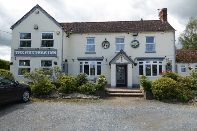
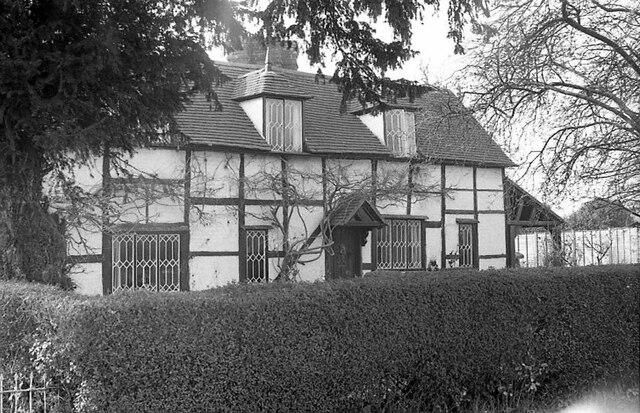
Despite its small size, Slades Green boasts a tight-knit community that takes pride in its local heritage. The village is home to a charming church, St. James the Great, which dates back to the 12th century and serves as a focal point for religious and community events. There is also a local pub, The Green Man, where residents can gather for a pint and socialize.
The surrounding area provides ample opportunities for outdoor activities and exploration. Numerous walking and cycling paths wind through the countryside, offering stunning views and a chance to connect with nature. Additionally, the nearby Lickey Hills Country Park provides a popular destination for hiking, picnicking, and wildlife spotting.
In terms of amenities, Slades Green benefits from its proximity to other nearby towns and villages. The larger town of Bromsgrove is just a short drive away, offering a wide range of shops, supermarkets, and leisure facilities. The village is also well-connected, with good transportation links to the wider Worcestershire area via road and public transport.
Overall, Slades Green is an idyllic village that offers a peaceful and tight-knit community, surrounded by beautiful countryside and with easy access to larger towns and amenities.
If you have any feedback on the listing, please let us know in the comments section below.
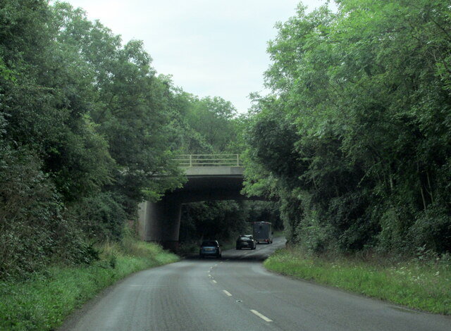
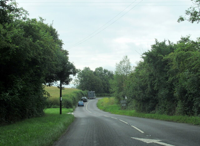
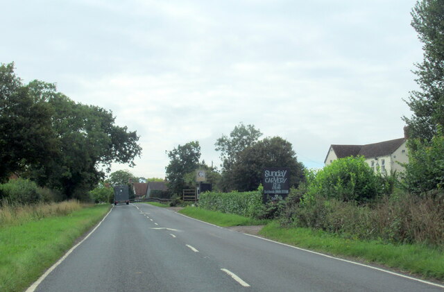
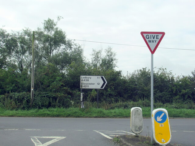
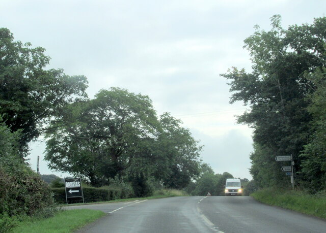
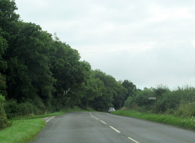
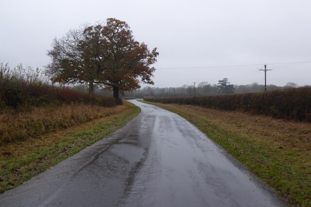
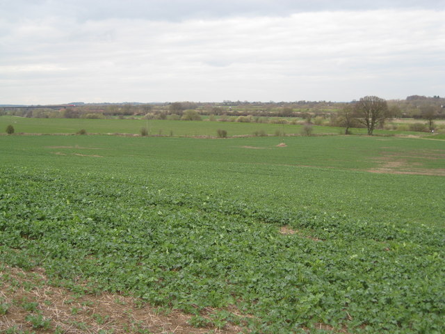
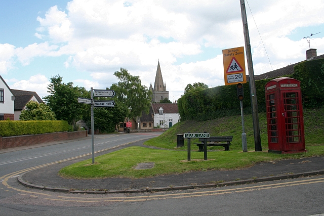
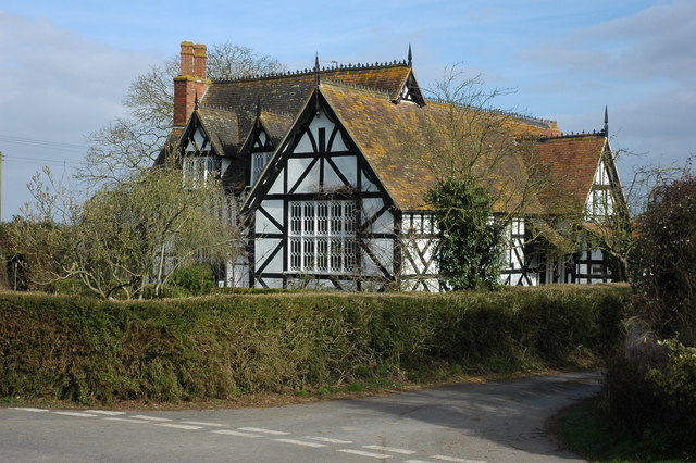
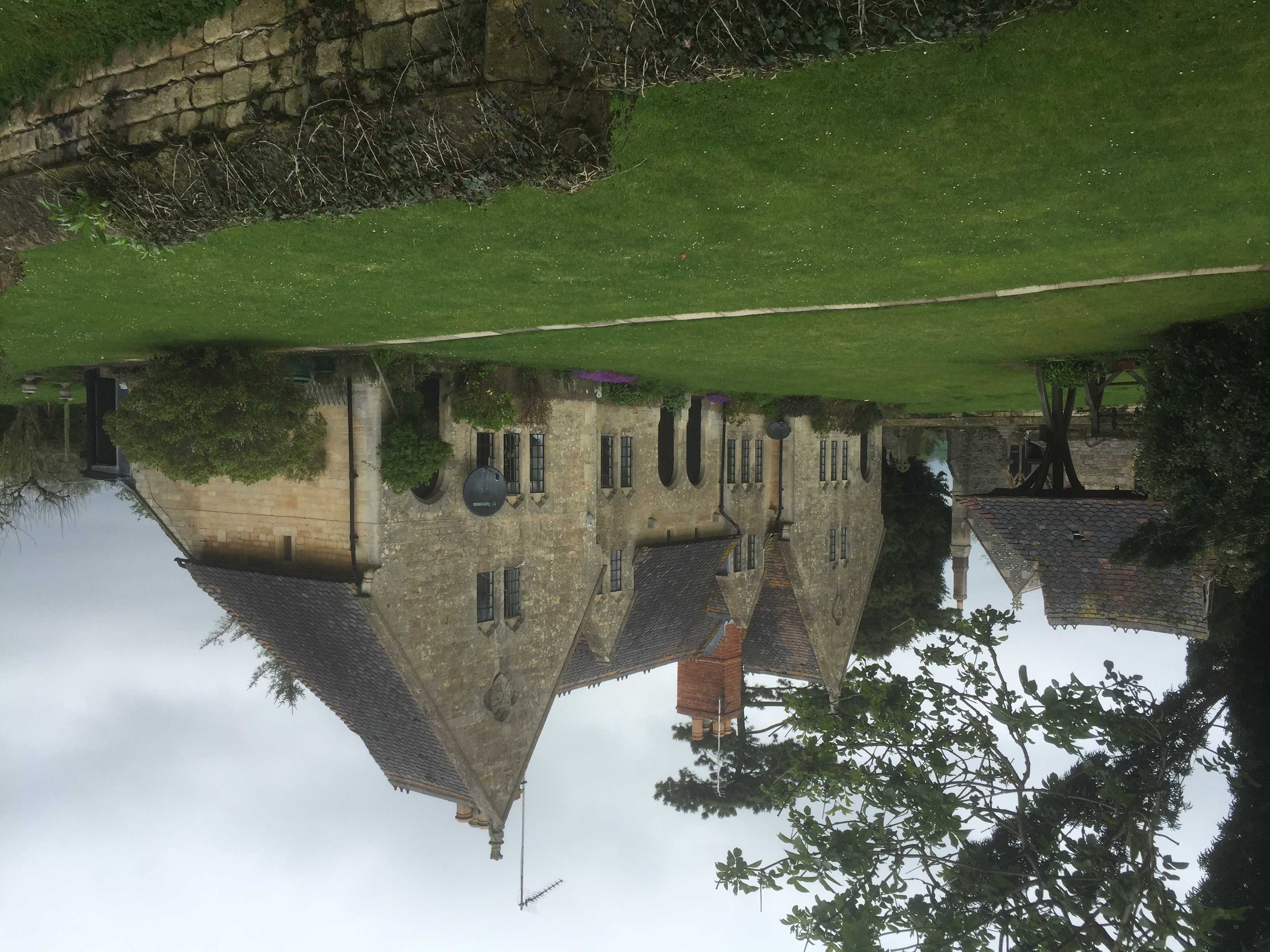
Slades Green Images
Images are sourced within 2km of 52.011393/-2.215606 or Grid Reference SO8534. Thanks to Geograph Open Source API. All images are credited.


Slades Green is located at Grid Ref: SO8534 (Lat: 52.011393, Lng: -2.215606)
Administrative County: Worcestershire
District: Malvern Hills
Police Authority: West Mercia
What 3 Words
///actor.buddy.states. Near Tewkesbury, Gloucestershire
Nearby Locations
Related Wikis

Bredon School
Bredon School, formerly Pull Court, is a private school in Bushley, Worcestershire, England. The house was built for the Reverend Canon E. C. Dowdeswell...
Longdon, Worcestershire
Longdon is a village and a civil parish in the Malvern Hills District and council ward of the county of Worcestershire, England and lies about 5 km (3...

Forthampton
Forthampton is a village in Gloucestershire, England The village is located three miles from the market town of Tewkesbury and features "a great number...

Queenhill
Queenhill is a civil parish and hamlet in the Malvern Hills District of the county of Worcestershire, England. It is one of three parishes administered...
Bushley
Bushley is a small village and civil parish in the Malvern Hills district in Worcestershire, England. The church is dedicated to Saint Peter. At the 2021...
Yorke Almshouses
The Yorke Almshouses, Nos. 14–17 Church Row, Forthampton, Gloucestershire, England, are a range of four almshouses designed by the architect William Burges...

Holdfast, Worcestershire
Holdfast is a civil parish in the Malvern Hills District of the county of Worcestershire, England. It is one of three administered by the Parish Council...

Old River Severn, Upper Lode
Old River Severn, Upper Lode (grid reference SO880331) is a 3.72-hectare (9.2-acre) biological Site of Special Scientific Interest in Gloucestershire,...
Nearby Amenities
Located within 500m of 52.011393,-2.215606Have you been to Slades Green?
Leave your review of Slades Green below (or comments, questions and feedback).