Blarmachfoldach

Settlement in Inverness-shire

Scotland

Blarmachfoldach

Forestry road, Kiachnish
Forestry road, Kiachnish Credit: Steven Brown

Blarmachfoldach is a small rural village located in the Inverness-shire region of Scotland. Situated near the city of Inverness, Blarmachfoldach is known for its picturesque landscapes and tranquil atmosphere.

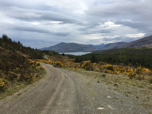
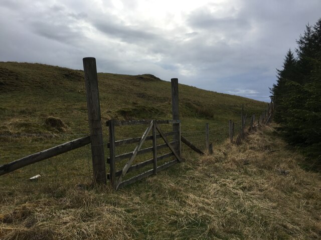
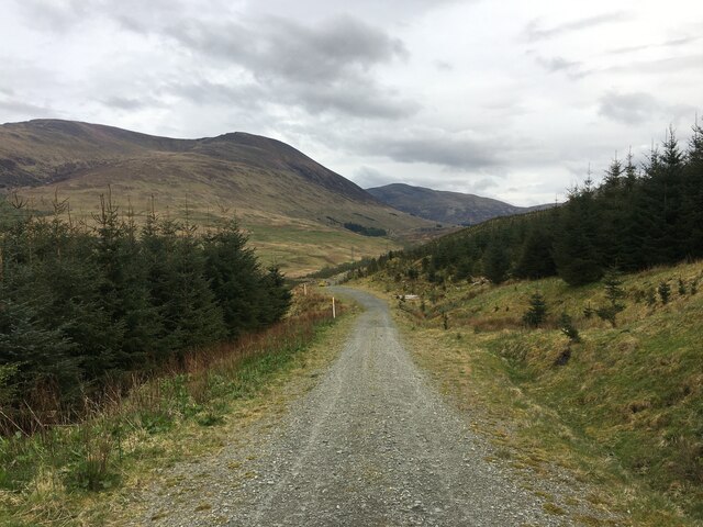
The village is surrounded by rolling hills and lush green fields, making it an ideal destination for nature lovers and outdoor enthusiasts. The nearby River Ness provides opportunities for fishing and boating, while the surrounding forests offer scenic hiking and biking trails.

Blarmachfoldach is home to a tight-knit community of residents who take pride in their village's natural beauty and rich history. The village has a few small shops and amenities, as well as a primary school for local children.

Overall, Blarmachfoldach offers a peaceful retreat from the hustle and bustle of city life, with its charming countryside setting and friendly residents making it a perfect place to relax and unwind. Whether you are looking to explore the great outdoors or simply enjoy the tranquility of rural Scotland, Blarmachfoldach is a hidden gem worth visiting.

If you have any feedback on the listing, please let us know in the comments section below.

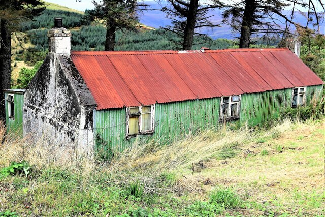
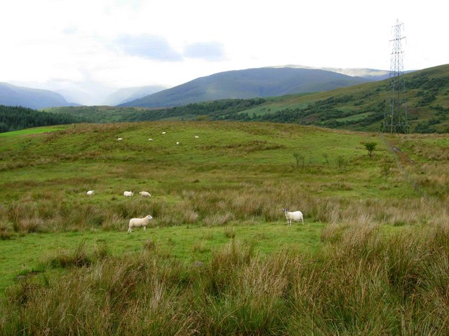
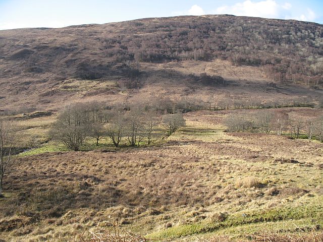
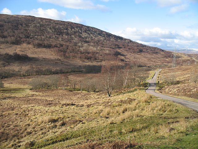
Blarmachfoldach Images

Images are sourced within 2km of 56.77318/-5.114217 or Grid Reference NN0968. Thanks to Geograph Open Source API. All images are credited.

Forestry road, Kiachnish
Gate at the forestry boundary, Kiachnish
Forestry road near Blarmafoldach
Small forestry gravel pit
Cottage at Blarmachfoldach
Sheep near Blarmachfoldach The mountains of Ardgour can be seen in the distance.
Sheep near Blarmachfoldach
The mountains of Ardgour can be seen in the distance.
Birchwoods beneath Druim na h-Earba Patchy birchwoods and routh grazing for sheep.
Birchwoods beneath Druim na h-Earba
Patchy birchwoods and routh grazing for sheep.
Lundavra road beneath Druim na h-Earba
Road heading to Blarmachfoldach Crossing the cattle grid the road heading to Blarmachfoldach
Road heading to Blarmachfoldach
Crossing the cattle grid the road heading to Blarmachfoldach
A stretch of minor road between Thistle Croft and Glenrigh Looking northward. Also part of the Old Military Road network.
A stretch of minor road between Thistle Croft and Glenrigh
Looking northward. Also part of the Old Military Road network.
West Highland Way near Lundavra
Bidean Bad na h-Iolaire Descending the southwest ridge of Bidean Bad na h-Iolaire.
Bidean Bad na h-Iolaire
Descending the southwest ridge of Bidean Bad na h-Iolaire.
Blarmachfoldach West Highland Way walkers obey the road sign as they approach Fort William (following a diversion via the minor road due to forestry work in the section leading to Glen Nevis).
Blarmachfoldach
West Highland Way walkers obey the road sign as they approach Fort William (following a diversion via the minor road due to forestry work in the section leading to Glen Nevis).
South of Blarmachfoldach Showing the road to Lundavra.  The mountain shrouded in cloud is Meall a Chaorainn.
South of Blarmachfoldach
Showing the road to Lundavra. The mountain shrouded in cloud is Meall a Chaorainn.
Valley of River Kiachnish, near Blarmachfoldach Looking down into the valley of the short River Kiachnish which drains Lochan Lunn Da Bhra into Loch Linnhe.
Valley of River Kiachnish, near Blarmachfoldach
Looking down into the valley of the short River Kiachnish which drains Lochan Lunn Da Bhra into Loch Linnhe.
Blarmachfoldach A crofting community above Fort William, seen from Mullach nan Coirean. The bend of the River Kiachnish can be seen beyond the forest with Loch Linnhe beyond.
Colours indicate clearly where the best agricultural land is found.
Blarmachfoldach
A crofting community above Fort William, seen from Mullach nan Coirean. The bend of the River Kiachnish can be seen beyond the forest with Loch Linnhe beyond. Colours indicate clearly where the best agricultural land is found.
The Military Road The last bit of the road to Fort William is open to all traffic. View northwards towards Blarmachfoldach.
The Military Road
The last bit of the road to Fort William is open to all traffic. View northwards towards Blarmachfoldach.
Military Road, Blarmachfoldach Doire Bàn in the distance
Military Road, Blarmachfoldach
Doire Bàn in the distance
Show me another place!

Blarmachfoldach is located at Grid Ref: NN0968 (Lat: 56.77318, Lng: -5.114217)

Unitary Authority: Highland

Police Authority: Highlands and Islands

What 3 Words

///skate.singers.lushly. Near Fort William, Highland

Nearby Locations

Blarmachfoldach

Related Wikis

Blarmachfoldach

Blarmachfoldach (or Blàr Mac Faoilteach; Blàrmacfaoltach) is a small crofting settlement in Lochaber, in the Highland council area of Scotland. It is located...

Druimarben

Druimarben (Scottish Gaelic: Druim Earbainn) is a hamlet on the east shore of Loch Linnhe in Inverness-shire, Scottish Highlands and is in the Scottish...

Ach' An Todhair

Ach' An Todhair is a small hamlet on the shore of Loch Linnhe in the Highland council area, Scotland. It is located along the A82 road directly south of...

Mullach nan Coirean

Mullach nan Coirean (Scottish Gaelic for 'summit of the corries') or Sgùrr a' Chaorainn ('peak of the rowan') is one of the Mamores mountains in the Scottish...

Nearby Amenities

Located within 500m of 56.77318,-5.114217
Passing Place
Lat/Long: 56.7700995/-5.1107677
Blarmachfoldach
Place: locality
Lat/Long: 56.7758198/-5.1154817
Place: farm
Lat/Long: 56.776836/-5.1188442
Place: farm
Lat/Long: 56.7729855/-5.1073537
Power: tower
Lat/Long: 56.773424/-5.1199179
Power: tower
Lat/Long: 56.7715488/-5.1196631
Power: pole
Lat/Long: 56.7765022/-5.1195785
Power: pole
Lat/Long: 56.7758662/-5.1191166
Power: pole
Lat/Long: 56.775049/-5.1185333
Power: pole
Lat/Long: 56.7744312/-5.1182005
Power: pole
Lat/Long: 56.773822/-5.1178873
Power: pole
Lat/Long: 56.7729189/-5.1174195
Power: pole
Lat/Long: 56.7723375/-5.1171122
Power: pole
Lat/Long: 56.7717025/-5.1167775
Power: pole
Lat/Long: 56.7711233/-5.1164799
Power: pole
Lat/Long: 56.7699992/-5.1158888
Power: pole
Lat/Long: 56.7691839/-5.1154738
Power: pole
Lat/Long: 56.7758491/-5.11896
Power: pole
Lat/Long: 56.7756646/-5.1172003
Power: pole
Lat/Long: 56.7733018/-5.1073681
Power: pole
Lat/Long: 56.7731795/-5.1085543
Power: pole
Lat/Long: 56.7732171/-5.1094919
Power: pole
Lat/Long: 56.7732921/-5.1108739
Power: pole
Lat/Long: 56.7733661/-5.1121677
Power: pole
Lat/Long: 56.7731956/-5.1129977
Power: pole
Lat/Long: 56.7730208/-5.1138178
Power: pole
Lat/Long: 56.7728492/-5.1146341
Power: pole
Lat/Long: 56.7726121/-5.1157205
The data included in this document is from www.openstreetmap.org. The data is made available under ODbL.

Have you been to Blarmachfoldach?

Leave your review of Blarmachfoldach below (or comments, questions and feedback).