Blanefield
Settlement in Stirlingshire
Scotland
Blanefield

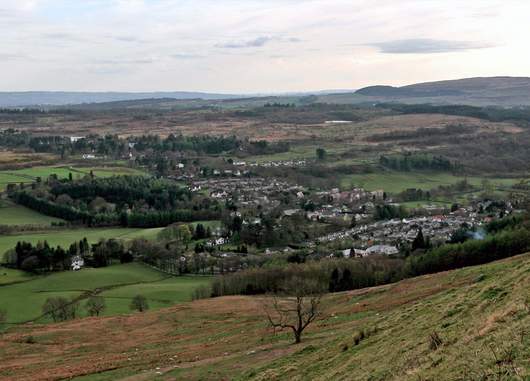
Blanefield is a charming village located in Stirlingshire, Scotland. Nestled amidst the breathtaking landscapes of the Campsie Fells, it offers residents and visitors a peaceful and idyllic setting. The village is situated approximately 13 miles north of Glasgow, making it an ideal place for those looking for a peaceful retreat while still having easy access to urban amenities.
The village is known for its close-knit community and friendly atmosphere. It boasts a range of amenities, including a small selection of shops, a post office, and a primary school. For more extensive shopping needs, nearby towns such as Milngavie and Bearsden are easily accessible.
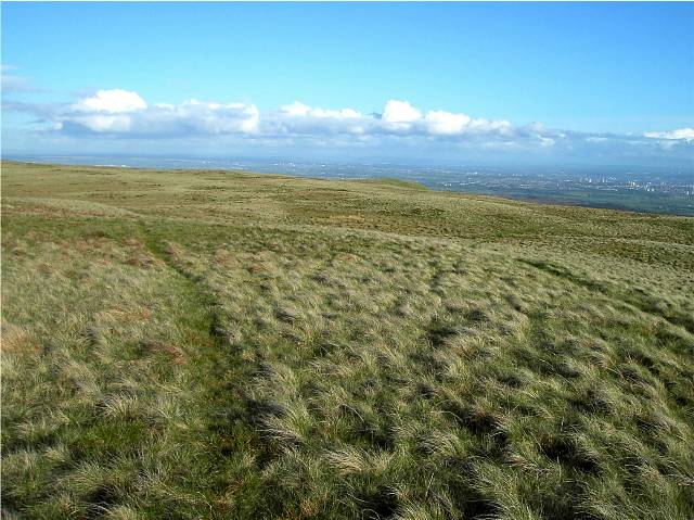
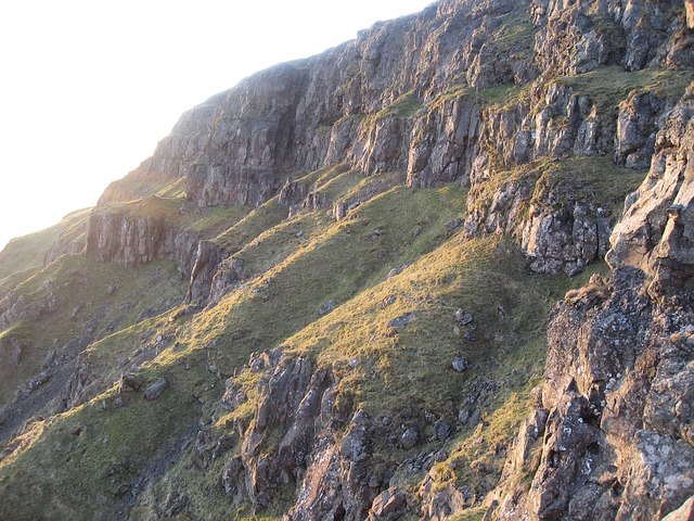
Nature enthusiasts will find themselves in paradise in Blanefield. The surrounding countryside offers a plethora of outdoor activities, including hiking, cycling, and horse riding. The Campsie Fells provide stunning panoramic views and are a favorite destination for walkers of all abilities.
Blanefield is also home to several historic landmarks. The Carbeth Huts, a collection of small cottages that were used as holiday homes for city dwellers in the early 20th century, are a popular spot for those interested in local history.
Overall, Blanefield offers a serene and picturesque setting, making it an attractive place to live or visit for those seeking a peaceful escape from the hustle and bustle of city life.
If you have any feedback on the listing, please let us know in the comments section below.
Blanefield Images
Images are sourced within 2km of 55.98816/-4.322513 or Grid Reference NS5579. Thanks to Geograph Open Source API. All images are credited.


Blanefield is located at Grid Ref: NS5579 (Lat: 55.98816, Lng: -4.322513)
Unitary Authority: Stirling
Police Authority: Forth Valley
What 3 Words
///onto.finalists.slave. Near Strathblane, Stirling
Nearby Locations
Related Wikis
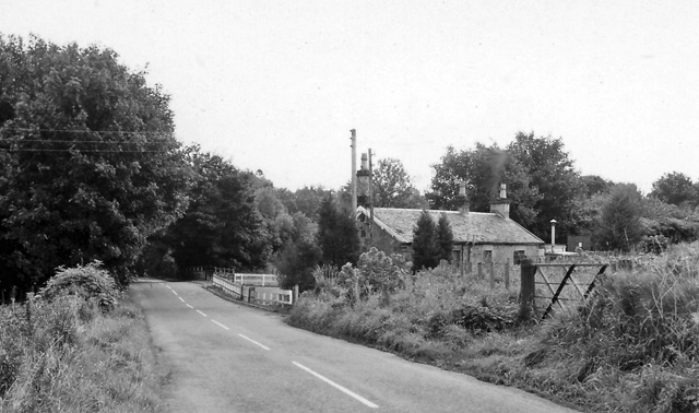
Blanefield railway station
Blanefield railway station served the village of Blanefield, Stirling, Scotland from 1867 to 1959 on the Blane Valley Railway. == History == The station...
Blanefield
Blanefield is a settlement in Scotland contiguous with Strathblane's northwestern fringe. To the west is the volcanic plug Dumgoyne, Glengoyne Distillery...
Strathblane
Strathblane (Scottish Gaelic: Strath Bhlàthain, pronounced [s̪t̪ɾahˈvl̪ˠaː.ɪɲ]) is a village and parish in the registration county of Stirlingshire, situated...

Strathblane railway station
Strathblane railway station served the village of Strathblane, Stirling, Scotland from 1867 to 1951 on the Blane Valley Railway. == History == The station...
Nearby Amenities
Located within 500m of 55.98816,-4.322513Have you been to Blanefield?
Leave your review of Blanefield below (or comments, questions and feedback).