Silvergate
Settlement in Norfolk Broadland
England
Silvergate
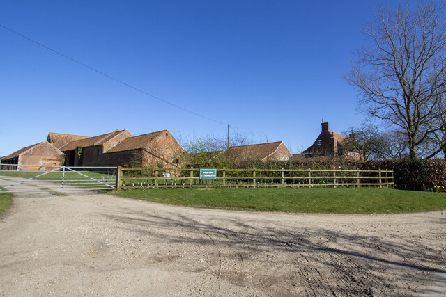
Silvergate is a small village located in the county of Norfolk, England. Situated near the eastern coast of the country, it lies roughly 8 miles north of the bustling market town of Great Yarmouth. With a population of around 500 residents, it is a close-knit community that offers a peaceful and picturesque setting.
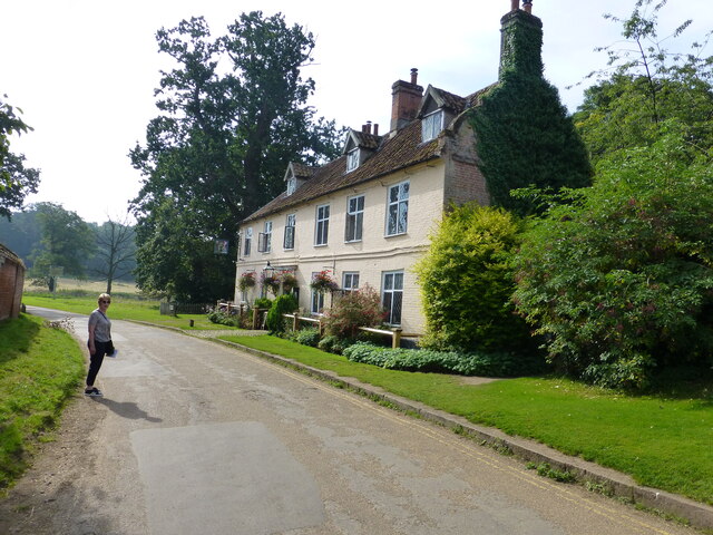
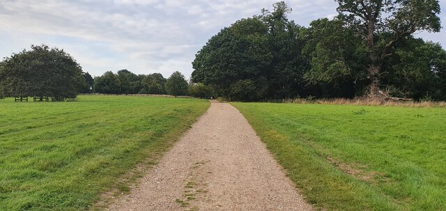
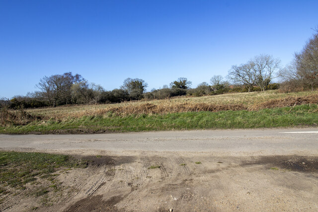
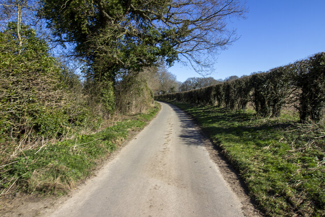
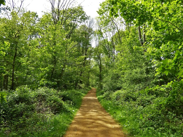
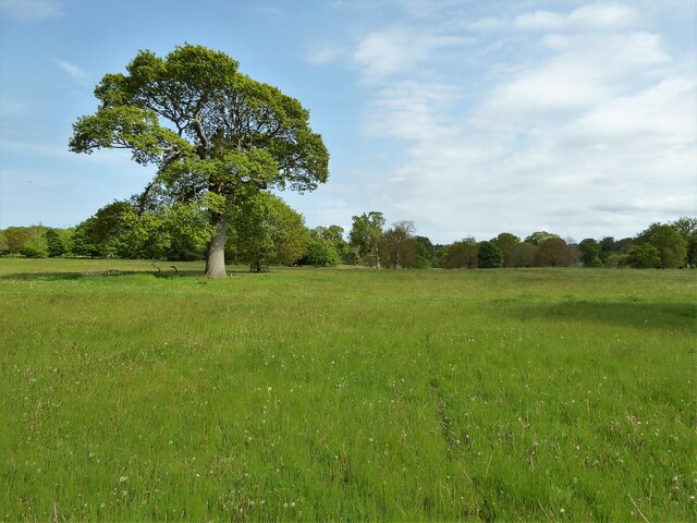
The village is known for its charming cottages, many of which date back several centuries, giving it a traditional and historic feel. The surrounding countryside is predominantly agricultural, with vast fields and farmland stretching out for miles. This provides ample opportunities for scenic walks and outdoor activities, attracting visitors and locals alike.
Despite its small size, Silvergate boasts several amenities for its residents. These include a local pub, The Silvergate Arms, which serves as a hub for social gatherings and a place to unwind. The village also has a primary school, ensuring that children receive a quality education within their own community.
While Silvergate may not have a wide range of shops or services, its close proximity to Great Yarmouth provides easy access to a wider range of amenities. The coastal town offers a variety of shopping centers, supermarkets, restaurants, and entertainment options.
Overall, Silvergate presents a tranquil and idyllic English village, offering a peaceful lifestyle and a strong sense of community. Its beautiful surroundings and nearby access to larger towns make it an attractive place to live or visit for those seeking a slower pace of life.
If you have any feedback on the listing, please let us know in the comments section below.
Silvergate Images
Images are sourced within 2km of 52.803534/1.226766 or Grid Reference TG1727. Thanks to Geograph Open Source API. All images are credited.


Silvergate is located at Grid Ref: TG1727 (Lat: 52.803534, Lng: 1.226766)
Administrative County: Norfolk
District: Broadland
Police Authority: Norfolk
What 3 Words
///novel.nylon.text. Near Aylsham, Norfolk
Nearby Locations
Related Wikis

Blickling
Blickling is a village and civil parish in the Broadland district of Norfolk, England, about 1.5 miles (2.4 km) north-west of Aylsham. In the 2011 census...
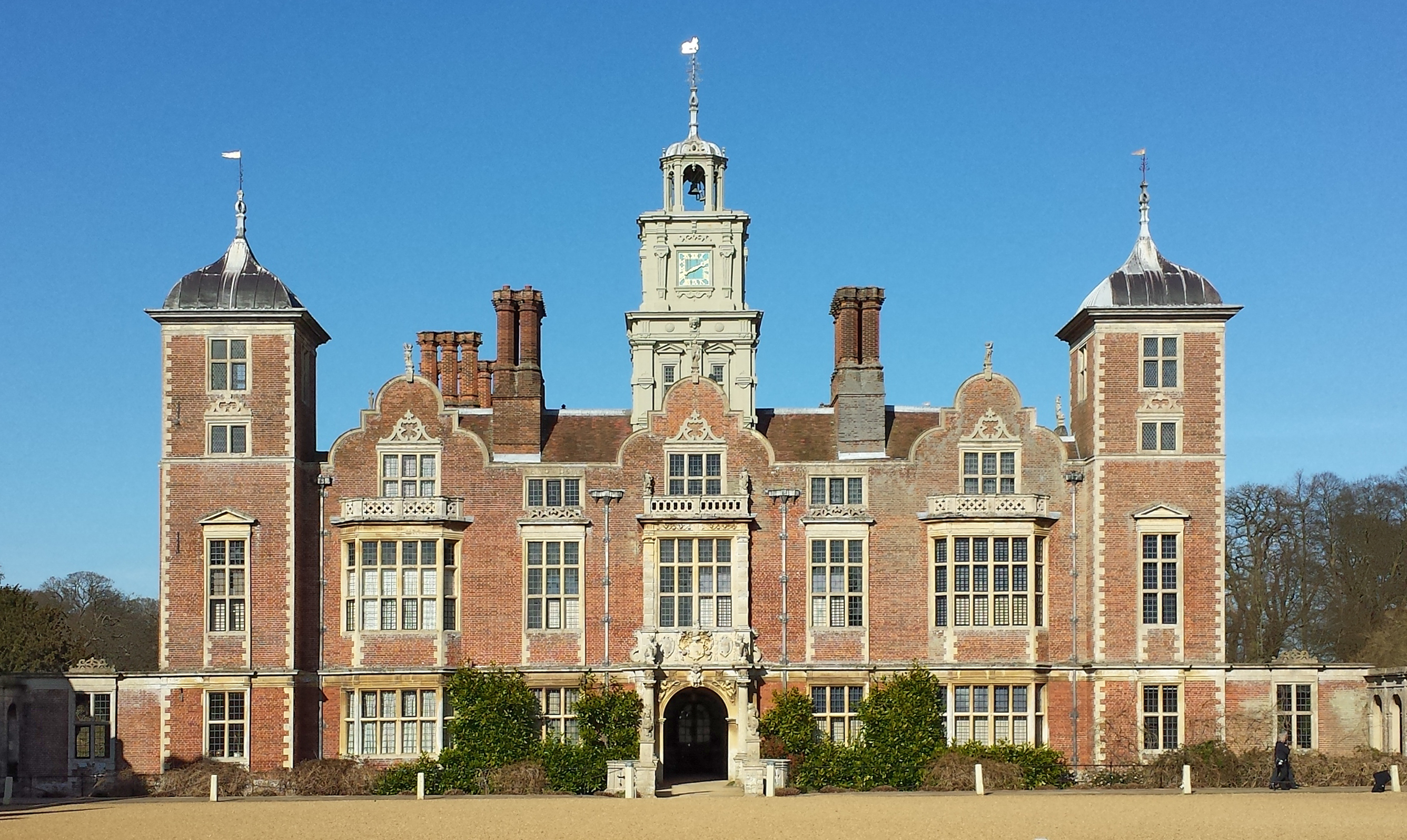
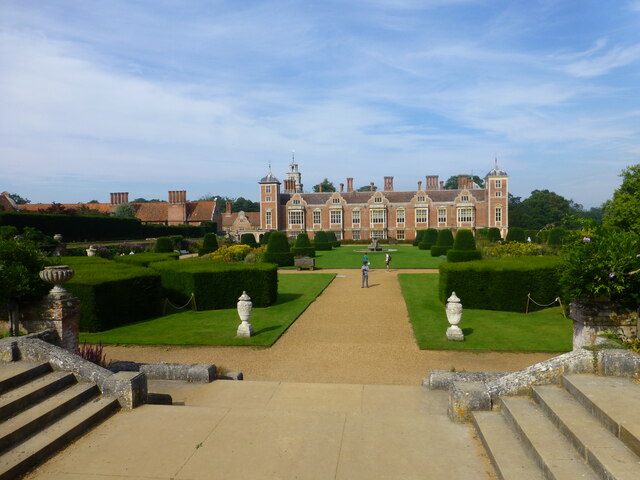
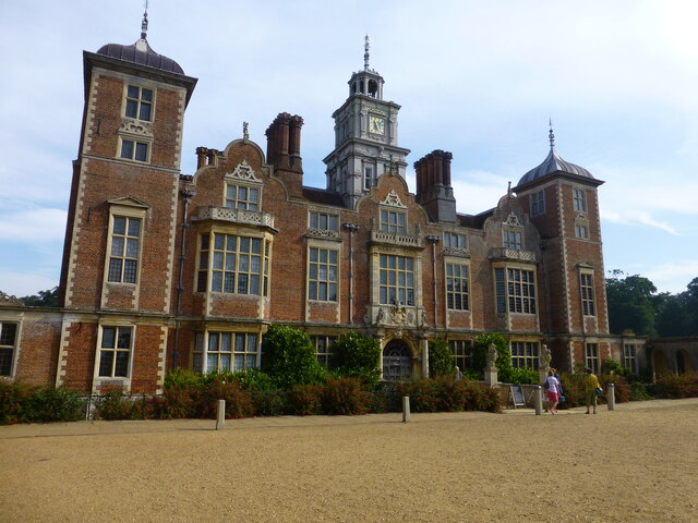
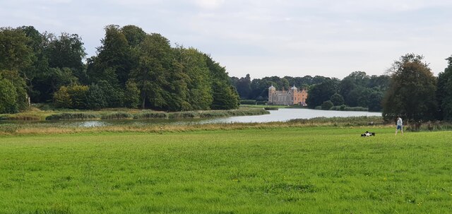
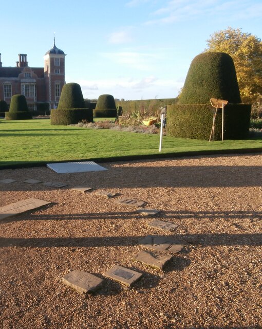
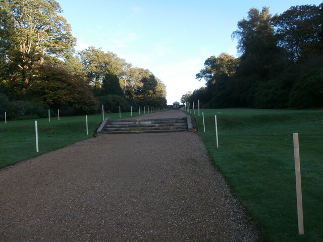
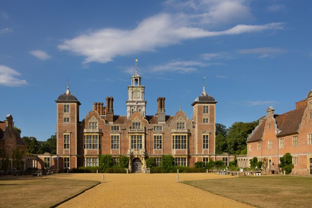
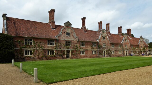
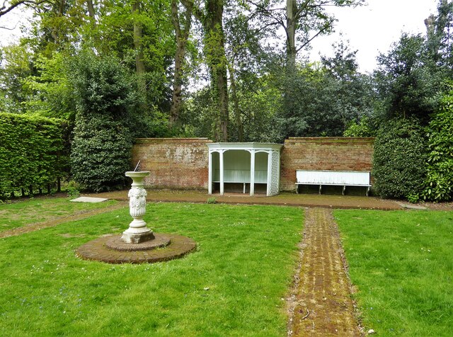
Blickling Hall
Blickling Hall is a Jacobean stately home situated in 5,000 acres of parkland in a loop of the River Bure, near the village of Blickling north of Aylsham...

Cawston Road Mill, Aylsham
Cawston Road Mill is a tower mill at Aylsham, Norfolk, England which has been truncated and converted for use as a holiday home. == History == Cawston...

Church of St Michael, Aylsham
The Church of St Michael and All Angels, Aylsham, Norfolk, is a church of medieval origins that was built in the 14th century under the patronage of John...

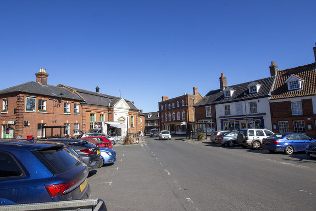
Aylsham Town Hall
Aylsham Town Hall is a municipal building in the Market Place in Aylsham, Norfolk, England. The structure, which accommodates the offices and meeting place...
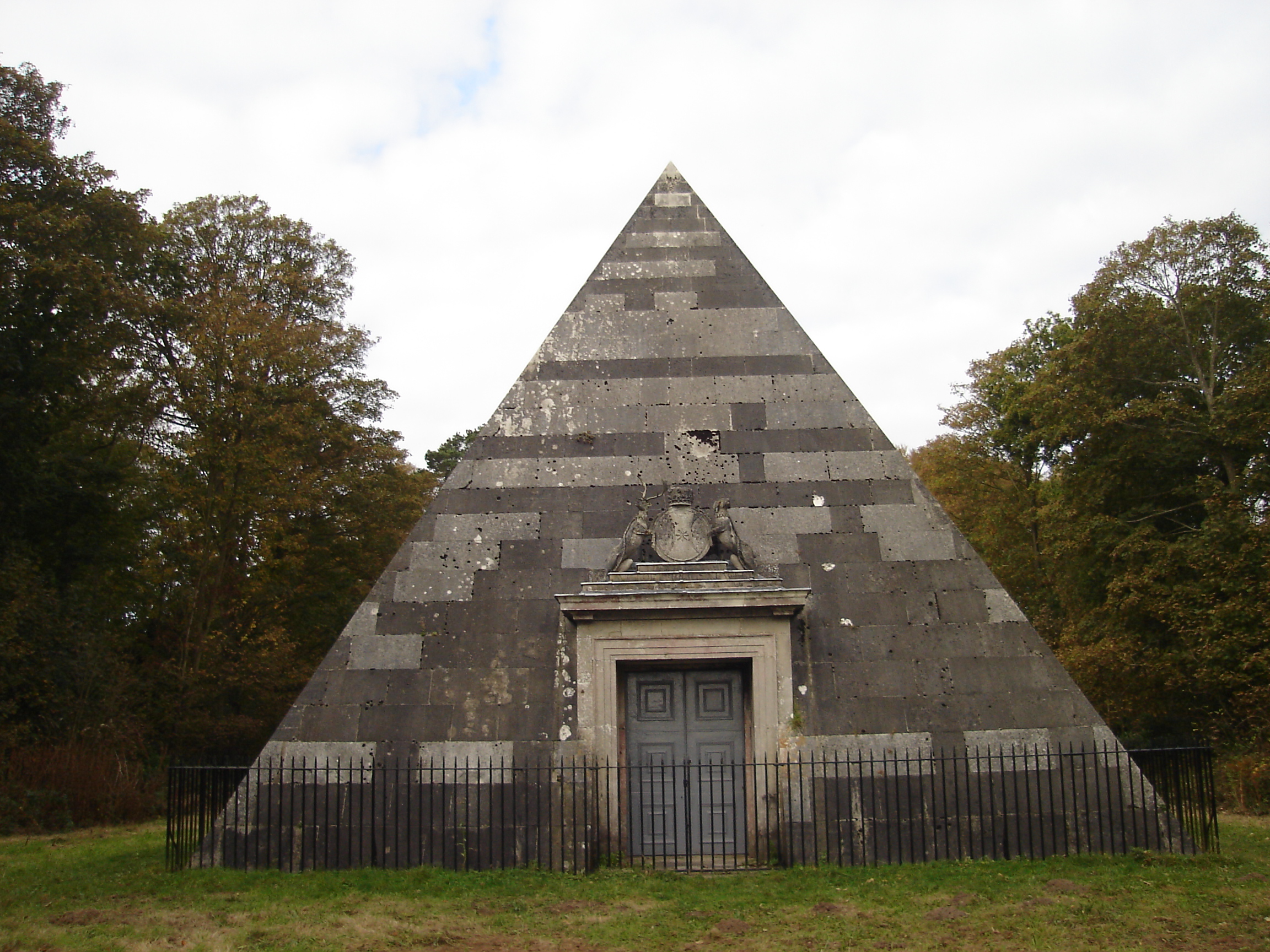
Blickling Park mausoleum
The Blickling Park mausoleum is a Grade II* listed building in the grounds of Blickling Hall, Norfolk, England. It was commissioned in 1793 by Lady Caroline...

Aylsham High School
Aylsham High School is a secondary school in the market town of Aylsham north of Norwich, in the English county of Norfolk. It has around 1,000 pupils...
Moorgate, Norfolk
Moorgate is a village to the north of Aylsham in the county of Norfolk, England.
Nearby Amenities
Located within 500m of 52.803534,1.226766Have you been to Silvergate?
Leave your review of Silvergate below (or comments, questions and feedback).