Blakesley
Settlement in Northamptonshire
England
Blakesley

Blakesley is a small village located in the county of Northamptonshire, England. With a population of around 400 residents, it is a close-knit community that offers a peaceful and picturesque countryside setting. Situated approximately 10 miles southwest of Northampton, the village enjoys a rural location while still maintaining convenient access to nearby towns and cities.
The history of Blakesley dates back to the medieval era, and its past can be seen in the beautiful architecture that adorns the village. The centerpiece is the St. Mary's Church, a Grade I listed building that boasts a stunning 13th-century tower. The church serves as both a place of worship for the community and a symbol of the village's rich heritage.
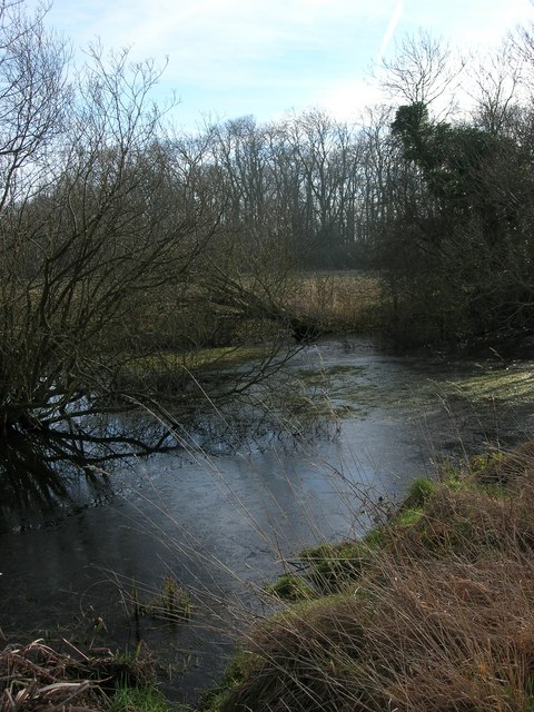
Blakesley is surrounded by rolling hills and lush green fields, making it a haven for nature lovers and outdoor enthusiasts. There are several walking paths and trails in the area, offering opportunities for leisurely strolls or more challenging hikes.
The village also benefits from a range of amenities, including a local pub, The Bartholomew Arms, which provides a cozy atmosphere for residents and visitors alike. Additionally, Blakesley has a primary school, ensuring that families have access to excellent education facilities.
Overall, Blakesley offers a tranquil and idyllic lifestyle for its residents, combining the charm of a traditional English village with the convenience of nearby urban areas.
If you have any feedback on the listing, please let us know in the comments section below.
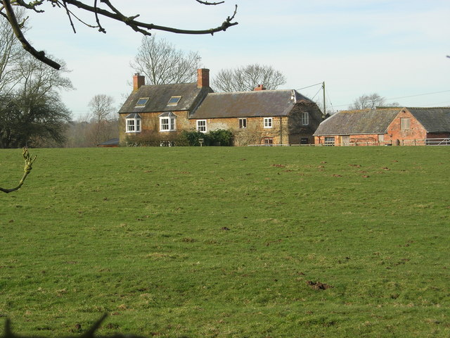
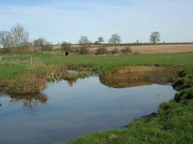
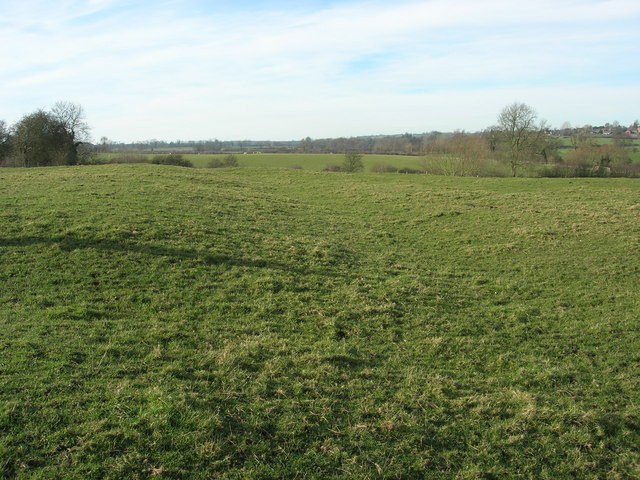
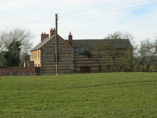
Blakesley Images
Images are sourced within 2km of 52.147447/-1.087797 or Grid Reference SP6250. Thanks to Geograph Open Source API. All images are credited.


Blakesley is located at Grid Ref: SP6250 (Lat: 52.147447, Lng: -1.087797)
Unitary Authority: West Northamptonshire
Police Authority: Northamptonshire
What 3 Words
///grading.arrive.leaky. Near Towcester, Northamptonshire
Nearby Locations
Related Wikis

Blakesley
Blakesley is a village in the West Northamptonshire, England. It is about 5 miles (8 km) west of Towcester. It is about 400 feet (120 m) above sea level...
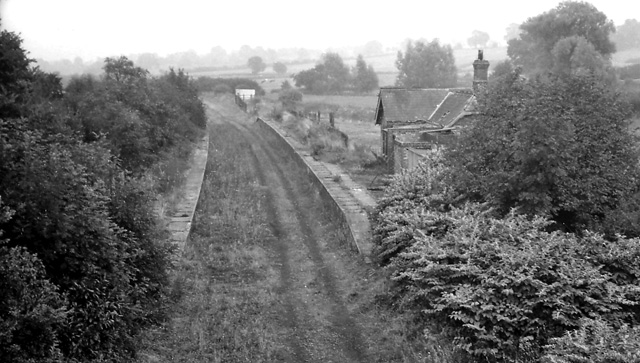
Blakesley railway station
Blakesley was a railway station on the Stratford-upon-Avon and Midland Junction Railway (SMJ) which served the Northamptonshire village of Blakesley between...
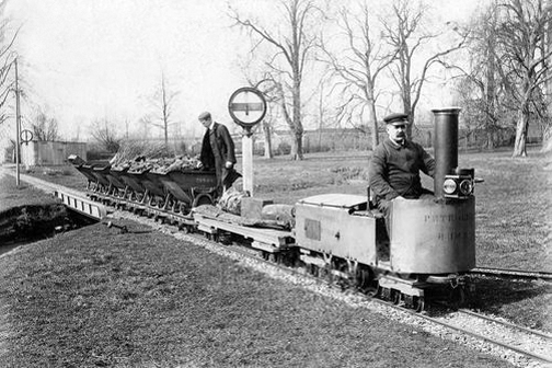
Blakesley Miniature Railway
The Blakesley Miniature Railway was an 804-yard-long (735 m) 15 in (381 mm) gauge railway from Blakesley railway station to Blakesley Hall in Blakesley...
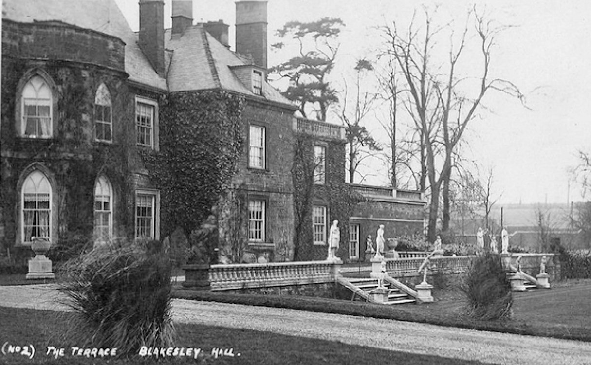
Blakesley Hall, Northamptonshire
Blakesley Hall was a 13th-century manor house situated near the village of Blakesley in Northamptonshire, England. It was demolished in 1957-58. ��2�...
Nearby Amenities
Located within 500m of 52.147447,-1.087797Have you been to Blakesley?
Leave your review of Blakesley below (or comments, questions and feedback).