Shutt Green
Settlement in Staffordshire South Staffordshire
England
Shutt Green
Shutt Green is a small village located in the county of Staffordshire, England. Situated approximately 8 miles southeast of the county town of Stafford, it falls within the Staffordshire Moorlands district. The village is nestled amidst picturesque countryside, with rolling hills and green fields surrounding it.
With a population of around 200 residents, Shutt Green is known for its peaceful and close-knit community. The village is primarily residential, comprising a mix of traditional stone houses and more modern developments. The village center features a few local amenities, including a small convenience store and a pub, which serves as a focal point for social gatherings.
The surrounding landscape offers numerous opportunities for outdoor activities and exploration. Residents and visitors can enjoy walks and hikes in the nearby Cannock Chase, an Area of Outstanding Natural Beauty. The picturesque countryside also attracts cyclists and horse riders, who can take advantage of the quiet lanes and bridleways.
Shutt Green benefits from its close proximity to larger towns and cities. The nearby town of Stafford provides a wider range of amenities and services, including shops, supermarkets, schools, and healthcare facilities. The village is well-connected by road, with the A34 passing nearby, providing easy access to other parts of Staffordshire and the Midlands.
Overall, Shutt Green offers a tranquil and idyllic countryside setting, making it an appealing place for those seeking a peaceful rural lifestyle within easy reach of amenities and larger towns.
If you have any feedback on the listing, please let us know in the comments section below.
Shutt Green Images
Images are sourced within 2km of 52.685896/-2.188586 or Grid Reference SJ8709. Thanks to Geograph Open Source API. All images are credited.
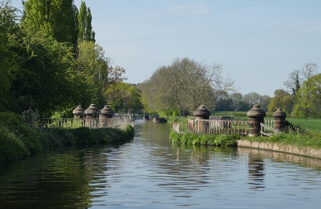
![Stretton Aqueduct, Shropshire Union Canal The text on the iron trough aqueduct proclaims this to be the Birmingham and Liverpool [Junction] Canal, which ran from Nantwich to Autherley Junction outside Wolverhampton and later became part of the Shropshire Union system. The name of the engineer Thomas Telford is below. Telford also engineered the turnpike road that passes beneath it, the A5 London to Holyhead road.](https://s1.geograph.org.uk/geophotos/07/39/45/7394513_0848dcc4.jpg)
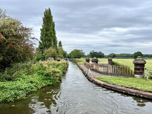
![Stretton Aqueduct, Shropshire Union Canal (detail) The text on the iron trough aqueduct proclaims this to be the Birmingham and Liverpool [Junction] Canal, which ran from Nantwich to Autherley Junction outside Wolverhampton and later became part of the Shropshire Union system. The name of the engineer Thomas Telford is below. Telford also engineered the turnpike road that passes beneath it, the A5 London to Holyhead road.](https://s2.geograph.org.uk/geophotos/07/39/45/7394514_344d265d.jpg)
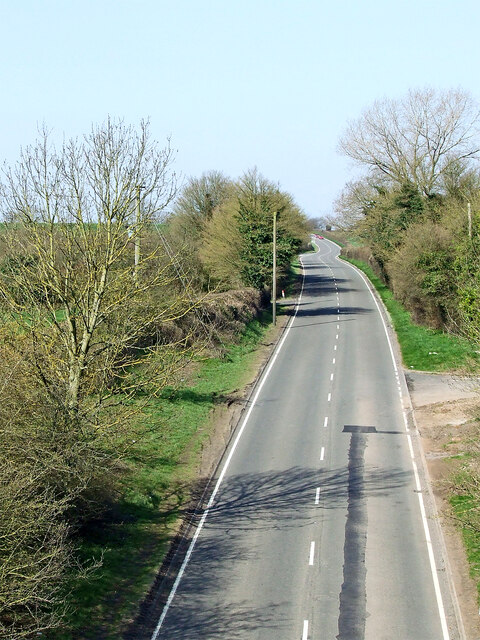
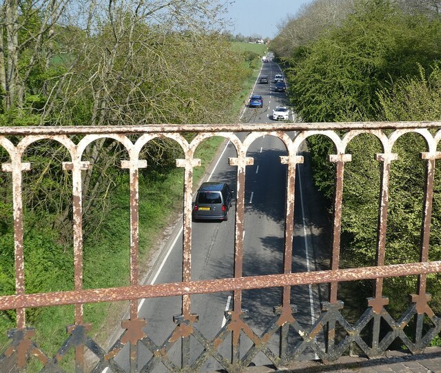
![Watling Street [A5], from Stretton Aqueduct The aqueduct railings could do with a repaint. The former Roman road is also a civil parish boundary here - Brewood &amp; Coven to the left/south, Lapley, Stretton &amp; Wheaton Aston to the right/north.](https://s2.geograph.org.uk/geophotos/07/51/37/7513782_52dce46e.jpg)


Shutt Green is located at Grid Ref: SJ8709 (Lat: 52.685896, Lng: -2.188586)
Administrative County: Staffordshire
District: South Staffordshire
Police Authority: Staffordshire
What 3 Words
///validated.curtail.bitter. Near Brewood, Staffordshire
Nearby Locations
Related Wikis

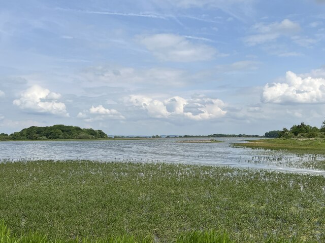
Belvide Reservoir
Belvide Reservoir is a reservoir in South Staffordshire, England. It was built in 1833 to supply the Birmingham and Liverpool Junction Canal, and has been...

Stretton Aqueduct
Stretton Aqueduct is a short cast iron canal aqueduct between Stretton and Brewood, and near to Belvide Reservoir, in south Staffordshire, England. Designed...

St Dominic's Grammar School
St Dominic's Grammar School (formerly St Dominic's Brewood and St Dominic's High School For Girls) is a private day school for girls and boys aged 2 to...
Speedwell Castle
Speedwell Castle is a mid-18th-century house at the centre of Brewood, Staffordshire, between Wolverhampton and Stafford. Described by Pevsner as a "peach...
Nearby Amenities
Located within 500m of 52.685896,-2.188586Have you been to Shutt Green?
Leave your review of Shutt Green below (or comments, questions and feedback).