Shurdington
Settlement in Gloucestershire Tewkesbury
England
Shurdington

Shurdington is a small village located in the county of Gloucestershire, England. Situated in the South West region of the country, it is nestled on the outskirts of the larger town of Cheltenham. The village lies approximately 3 miles southeast of the town center, making it an attractive location for those seeking a quieter and more rural setting while still having easy access to urban amenities.
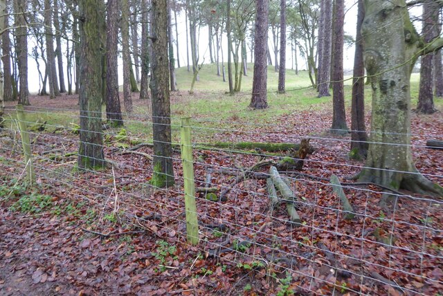
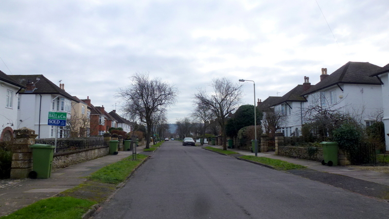
With a population of around 1,500 residents, Shurdington retains a close-knit community feel. The village is characterized by its picturesque countryside, rolling hills, and charming cottages. It offers a tranquil environment for those looking to escape the hustle and bustle of city life. The nearby Cotswold Area of Outstanding Natural Beauty and Crickley Hill Country Park provide ample opportunities for outdoor activities such as hiking, cycling, and wildlife spotting.
Shurdington is well-served by transport links, including road connections to Cheltenham and Gloucester via the A46 and A417 trunk roads. The village is also within easy reach of the M5 motorway, providing convenient access to Bristol and Birmingham. For those who prefer public transportation, regular bus services connect Shurdington to the surrounding areas.
The village boasts a few local amenities, including a primary school, village hall, and a handful of shops and pubs. However, residents often rely on nearby Cheltenham for a wider range of services, including shopping centers, restaurants, and entertainment options.
Overall, Shurdington offers a peaceful and scenic location, ideal for those seeking a balance between rural living and easy access to nearby towns and cities.
If you have any feedback on the listing, please let us know in the comments section below.
Shurdington Images
Images are sourced within 2km of 51.865492/-2.117241 or Grid Reference SO9218. Thanks to Geograph Open Source API. All images are credited.


Shurdington is located at Grid Ref: SO9218 (Lat: 51.865492, Lng: -2.117241)
Administrative County: Gloucestershire
District: Tewkesbury
Police Authority: Gloucestershire
What 3 Words
///skims.irritate.encrusted. Near Shurdington, Gloucestershire
Nearby Locations
Related Wikis

Shurdington
Shurdington is a village near Cheltenham in Gloucestershire, England. The area constitutes a civil parish within the Borough of Tewkesbury. It is located...
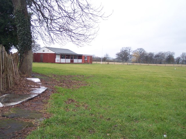
Hatherley and Reddings Cricket Club Ground
Hatherley and Reddings Cricket Club Ground is a cricket ground in Cheltenham, Gloucestershire. The first recorded match held on the ground came in 1986...

Badgeworth
Badgeworth is a village and civil parish in the Tewkesbury district of Gloucestershire, England, between Gloucester and Cheltenham. According to the 2001...
Bournside
Bournside is a village, which is now a suburb of Cheltenham in Gloucestershire, England. == References ==

Leckhampton
Leckhampton is a village and a district in south Cheltenham, Gloucestershire, England. The area is in the civil parish of Leckhampton with Warden Hill...

St Peter's Church, Leckhampton
St Peter's Church, Leckhampton is the Church of England parish church in Leckhampton, Cheltenham, Gloucestershire, England. The church belongs to the...
Up Hatherley
Up Hatherley is a civil parish and a suburb of the spa town of Cheltenham, Gloucestershire, England. Formerly a hamlet in the parish of Shurdington, it...

Badgeworth SSSI, Gloucestershire
Badgeworth SSSI (grid reference SO 911206) is a 3.08-hectare (7.6-acre) biological Site of Special Scientific Interest in Gloucestershire notified in 1954...
Nearby Amenities
Located within 500m of 51.865492,-2.117241Have you been to Shurdington?
Leave your review of Shurdington below (or comments, questions and feedback).