Blakeney
Settlement in Gloucestershire Forest of Dean
England
Blakeney
Blakeney is a small village located in the county of Gloucestershire, England. Situated on the eastern bank of the River Severn, it lies approximately 10 miles southwest of the city of Gloucester. Blakeney is part of the Forest of Dean district and is surrounded by picturesque countryside, offering residents and visitors a tranquil and rural setting.
The village itself is characterized by its traditional stone buildings and charming cottages, giving it a quintessential English village feel. Blakeney has a population of around 1,200 people, making it a close-knit community where neighbors often know each other.
Despite its small size, Blakeney has a range of amenities to cater to its residents' needs. These include a primary school, a village hall, a post office, and a local convenience store. There are also several pubs and eateries where locals and visitors can enjoy a meal or a drink.
The surrounding area offers plenty of opportunities for outdoor activities, with numerous walking and cycling routes that showcase the stunning natural beauty of the Forest of Dean. Additionally, the nearby River Severn provides opportunities for boating, fishing, and other water-based activities.
Blakeney is conveniently located within easy reach of larger towns and cities. Gloucester and its extensive range of shopping, cultural, and leisure facilities are just a short drive away, as are the historic towns of Cinderford and Lydney.
In conclusion, Blakeney is a charming village in Gloucestershire that offers a peaceful and idyllic lifestyle amidst beautiful natural surroundings.
If you have any feedback on the listing, please let us know in the comments section below.
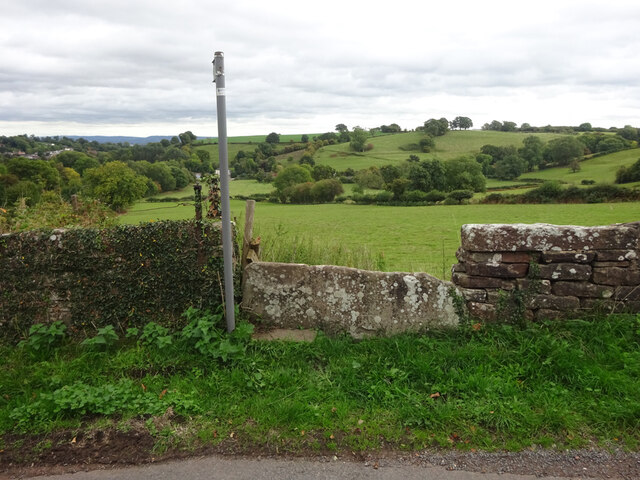
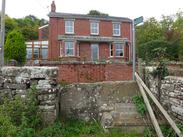
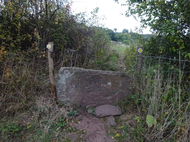
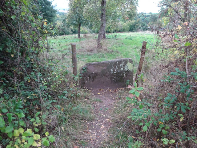
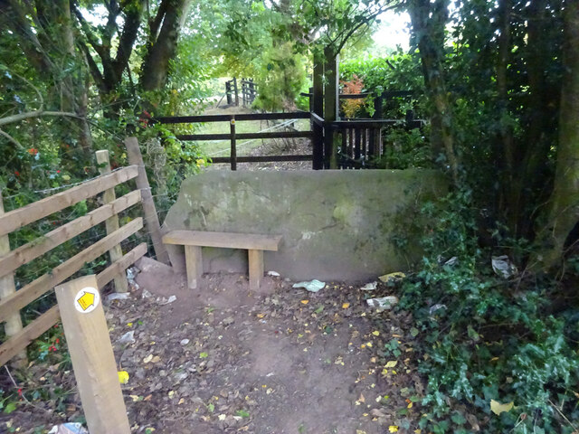
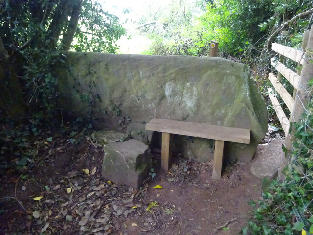
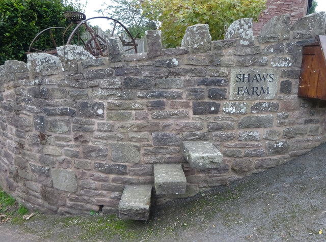
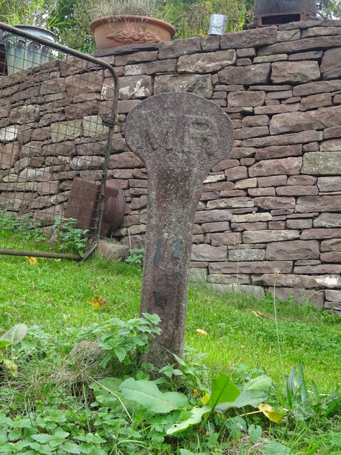
Blakeney Images
Images are sourced within 2km of 51.760139/-2.475212 or Grid Reference SO6706. Thanks to Geograph Open Source API. All images are credited.
Blakeney is located at Grid Ref: SO6706 (Lat: 51.760139, Lng: -2.475212)
Administrative County: Gloucestershire
District: Forest of Dean
Police Authority: Gloucestershire
What 3 Words
///round.creatures.weddings. Near Sharpness, Gloucestershire
Nearby Locations
Related Wikis

Blakeney, Gloucestershire
Blakeney is a village in Gloucestershire, England. It in the parish of Awre and has views of the Forest of Dean. It was the site of a Roman villa, dating...

Clarke's Pool Meadow SSSI
Clarke's Pool Meadow (grid reference SO668061) is a 1.8-hectare (4.4-acre) biological Site of Special Scientific Interest in Gloucestershire, notified...

Brain's Green
Brain's Green is a hamlet in Gloucestershire, England. == References ==
Bledisloe Tump
Bledisloe Tump was a castle in the village of Awre in Gloucestershire, England. == History == The first castle on the site was built in the 11th or early...
Awre for Blakeney railway station
Awre for Blakeney railway station is a closed railway station in Gloucestershire, England, which served both the village of Awre and the town of Blakeney...

Purton, Lydney
Purton is a hamlet on the west bank of the River Severn, in the civil parish of Lydney in Gloucestershire, England. It lies opposite the village of Purton...

Oldcroft
Oldcroft is a hamlet in Gloucestershire, England. The village of Yorkley is to the northwest, and the hamlet of Viney Hill is to the northeast. == History... ==
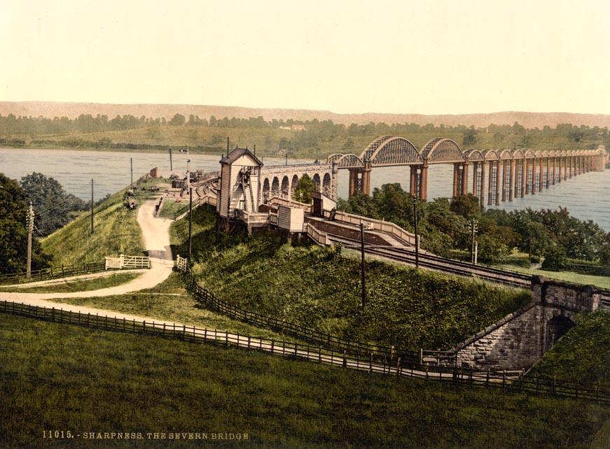
Severn Bridge railway station
Severn Bridge railway station was a small station on the Severn Bridge Railway located close to the north west bank of the River Severn, 2 miles (3 km...
Nearby Amenities
Located within 500m of 51.760139,-2.475212Have you been to Blakeney?
Leave your review of Blakeney below (or comments, questions and feedback).