Shore Bottom
Settlement in Devon East Devon
England
Shore Bottom
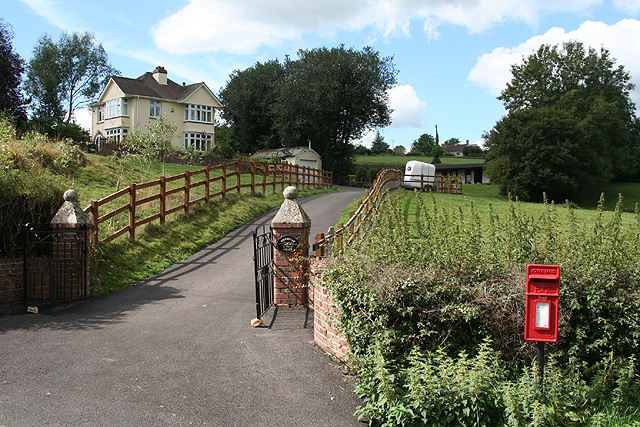
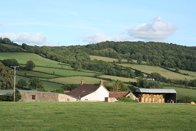
Shore Bottom is a small village located in the picturesque county of Devon, England. Situated on the southern coast, this charming village is known for its stunning natural beauty and tranquil atmosphere.
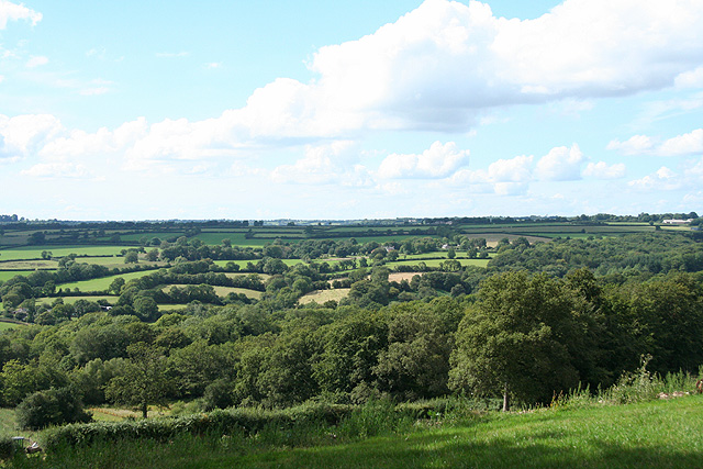
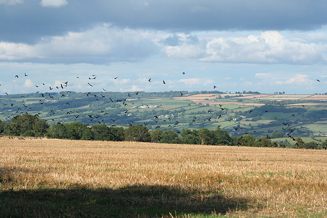
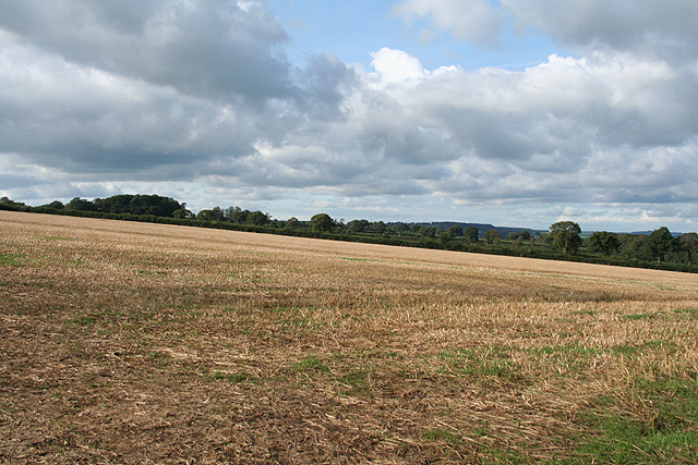
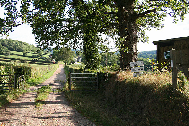
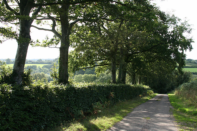
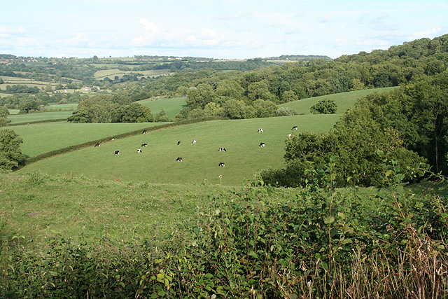
Surrounded by lush greenery and rolling hills, Shore Bottom offers breathtaking views of the English Channel. The village itself is nestled between the cliffs and the sea, creating a sense of seclusion and peace. The coastline is dotted with small coves and sandy beaches, making it a popular destination for nature lovers and beach enthusiasts.
The village is home to a close-knit community, with a population of around 500 residents. The locals are known for their warm hospitality and friendly nature, creating a welcoming atmosphere for visitors. The village boasts a range of amenities, including a local pub, a post office, and a small convenience store, ensuring that residents have access to essential services.
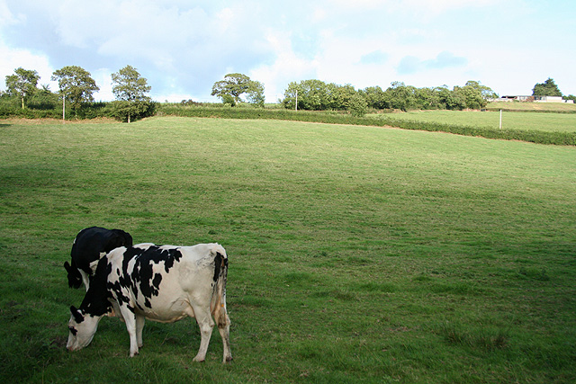
For those seeking outdoor activities, Shore Bottom offers a variety of options. The surrounding countryside provides ample opportunities for hiking, cycling, and horseback riding. The village is also a popular spot for fishing, with the local waters teeming with a variety of fish.
Overall, Shore Bottom is a hidden gem in Devon, offering a peaceful retreat for both residents and visitors. With its stunning natural surroundings and friendly community, it is a place that truly captures the essence of rural England.
If you have any feedback on the listing, please let us know in the comments section below.
Shore Bottom Images
Images are sourced within 2km of 50.8214/-3.0919 or Grid Reference ST2302. Thanks to Geograph Open Source API. All images are credited.


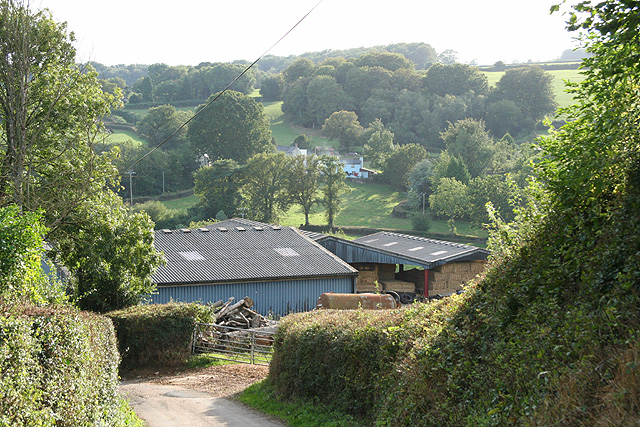
![Stockland: by Stockland Great Castle The lane runs east to Broadhayes Farm. Trees on the left indicate the remaining ditch and rampart of the Iron Age hillfort, Stockland Great Castle, which stands on a slope to the east of a ridgeway. Slingstones were found here in the mid nineteenth century. Hoskins [Devon] indicates this was possibly one of the more easterly hillforts of the Dumnonii tribe, facing the Dorset-based Durotriges to their east](https://s1.geograph.org.uk/photos/22/63/226373_f05dfdb3.jpg)

Shore Bottom is located at Grid Ref: ST2302 (Lat: 50.8214, Lng: -3.0919)
Administrative County: Devon
District: East Devon
Police Authority: Devon and Cornwall
What 3 Words
///seeing.stones.volcano. Near Honiton, Devon
Nearby Locations
Related Wikis

Stockland Castle
Stockland Castle is the name given to two Iron Age hill forts on Stockland Hill close to Stockland in Devon, England. Stockland Great Castle (50.8178°N...
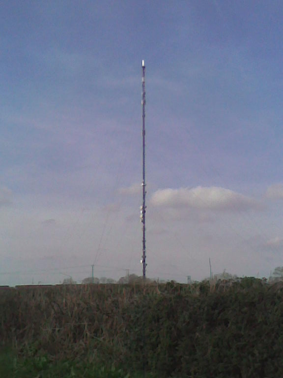
Stockland Hill transmitting station
The Stockland Hill transmitting station is a transmitting facility of FM Radio and UHF television located near Honiton, Devon, England. This transmitter...
Stockland, Devon
Stockland is a village and civil parish in Devon, close to the Somerset boundary. The parish is surrounded clockwise from the north by the parishes of...

Cotleigh
Cotleigh is a village and civil parish near Honiton in Devon, England. It is surrounded clockwise from the north by the parishes of Upottery, Stockland...
Nearby Amenities
Located within 500m of 50.8214,-3.0919Have you been to Shore Bottom?
Leave your review of Shore Bottom below (or comments, questions and feedback).