Blairland
Settlement in Ayrshire
Scotland
Blairland
Blairland is a small village located in the county of Ayrshire, Scotland. Situated about 20 miles southwest of Glasgow, it lies on the eastern bank of the River Ayr. The village is part of the larger community council area of Dalrymple, which encompasses several nearby settlements.
The history of Blairland dates back centuries, with evidence of human habitation in the area from as early as the Neolithic period. Over the years, the village has been primarily agricultural in nature, with farming playing a significant role in its economy. However, in recent times, there has been a shift towards a more diverse economy, with residents also engaged in other sectors such as retail, services, and commuting to nearby towns for employment.
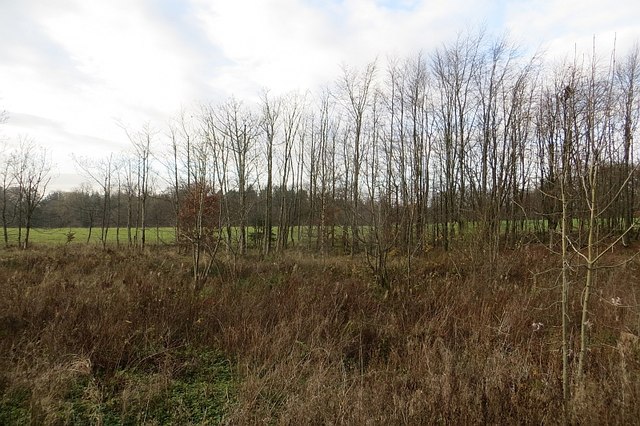
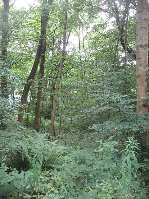
Blairland boasts a picturesque setting, surrounded by rolling hills and lush green fields. The village itself features a mix of traditional stone-built houses, some of which date back to the 18th century, and more modern developments. The local community is close-knit, with a strong sense of pride and identity.
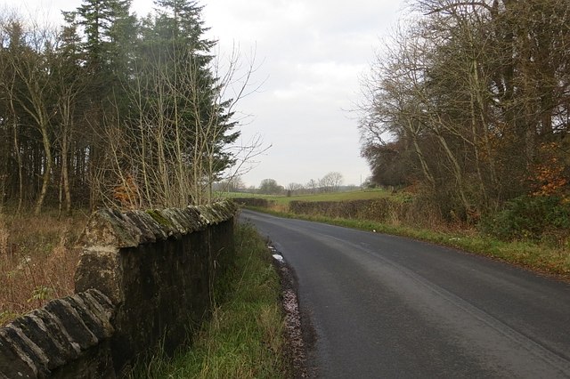
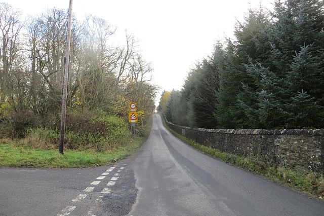
Amenities in Blairland are limited, but the nearby town of Ayr, with its wider range of facilities including shops, schools, and healthcare services, is easily accessible. The village benefits from good transportation links, with regular bus services connecting it to surrounding areas.
Overall, Blairland offers a peaceful and scenic rural lifestyle, making it an attractive place to live for those seeking a quiet retreat while still having access to larger towns and cities.
If you have any feedback on the listing, please let us know in the comments section below.
Blairland Images
Images are sourced within 2km of 55.695229/-4.7222864 or Grid Reference NS2948. Thanks to Geograph Open Source API. All images are credited.


Blairland is located at Grid Ref: NS2948 (Lat: 55.695229, Lng: -4.7222864)
Unitary Authority: North Ayrshire
Police Authority: Ayrshire
What 3 Words
///kickers.budget.duet. Near Dalry, North Ayrshire
Nearby Locations
Related Wikis

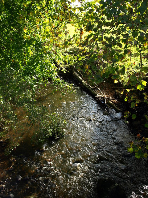
Caaf Water
The Caaf Water in western Scotland (Keaff in 1747 also Caff) drains from the Caaf Reservoir above Dalry which is fed from Knockendon Reservoir. The Caaf...

Dalry Junction railway station
Dalry Junction railway station was a railway station near the town of Dalry, North Ayrshire, Scotland. The station was originally part of the Glasgow,...

Lynn Spout
Lynn Spout is a waterfall on the Caaf Water near Dalry in Ayrshire in Scotland. == See also == Waterfalls of Scotland == References ==

Dalry railway station
Dalry railway station is a railway station serving the town of Dalry, North Ayrshire, Scotland. The station is managed by ScotRail and is on the Ayrshire...
Nearby Amenities
Located within 500m of 55.695229,-4.7222864Have you been to Blairland?
Leave your review of Blairland below (or comments, questions and feedback).