Sherbourne

Settlement in Warwickshire Warwick

England

Sherbourne

Track through Hampton Wood
Track through Hampton Wood Credit: AJD

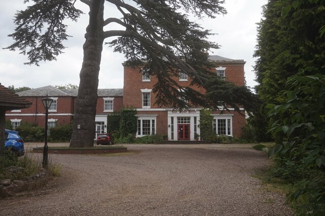
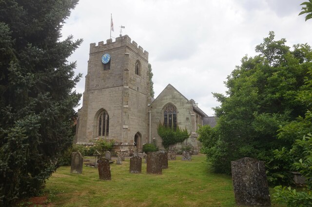
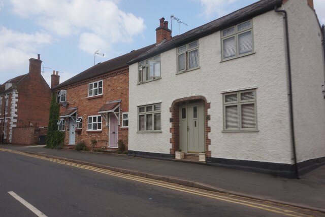
Sherbourne is a picturesque village located in the county of Warwickshire, England. Situated along the River Avon, Sherbourne is known for its charming architecture, including a beautiful parish church and a number of traditional thatched cottages. The village is surrounded by lush countryside, making it a popular destination for outdoor enthusiasts and nature lovers.

Sherbourne has a rich history dating back to the medieval period, with evidence of a settlement in the area as far back as the 12th century. The village has a strong sense of community, with a village hall hosting regular events and activities for residents to enjoy.

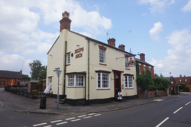
In terms of amenities, Sherbourne offers a small selection of shops, pubs, and restaurants, providing locals and visitors with everything they need for day-to-day living. The village is also well-connected to nearby towns and cities, with good transport links making it easy to explore the surrounding area.

Overall, Sherbourne is a tranquil and idyllic village that offers a peaceful retreat from the hustle and bustle of modern life. Its historic charm, natural beauty, and strong sense of community make it a truly special place to visit or call home.

If you have any feedback on the listing, please let us know in the comments section below.
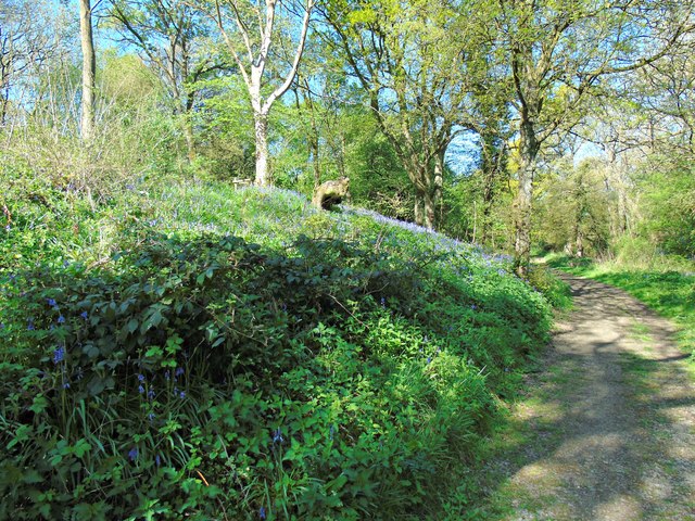
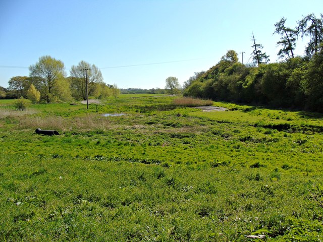
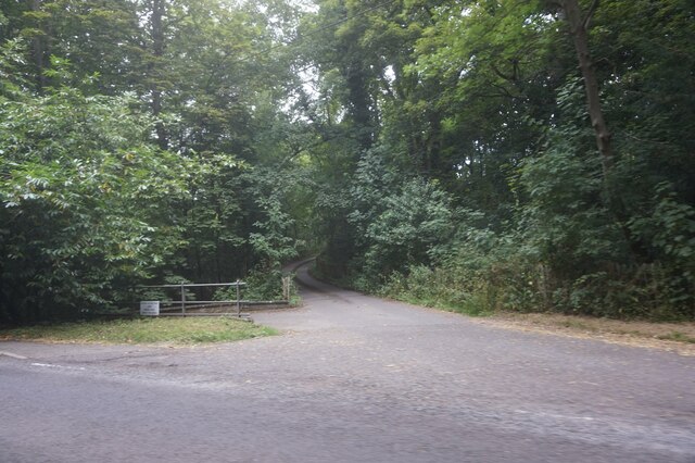
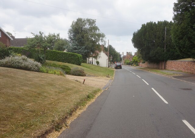
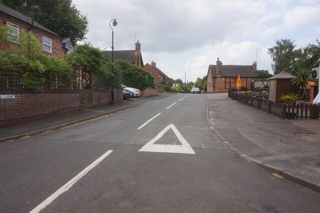
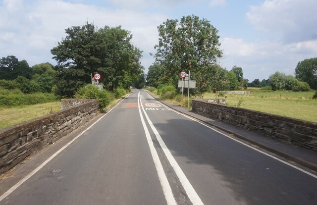
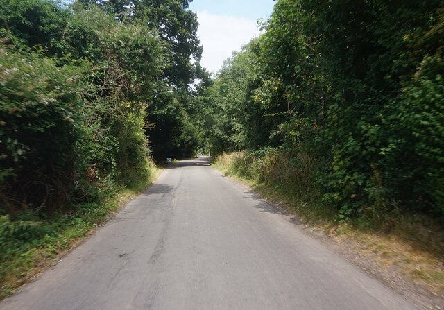
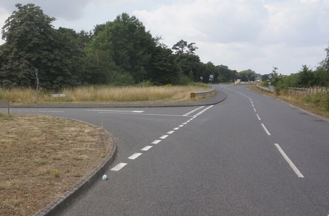
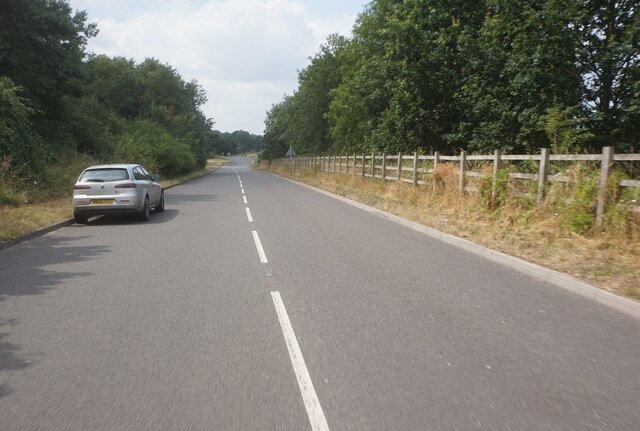
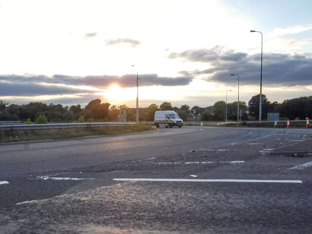
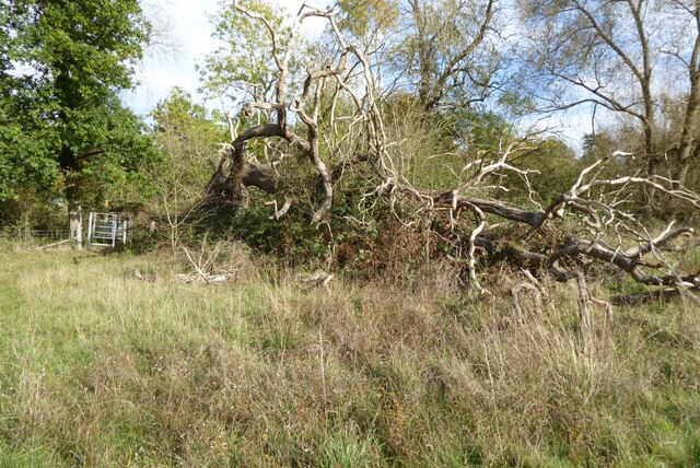
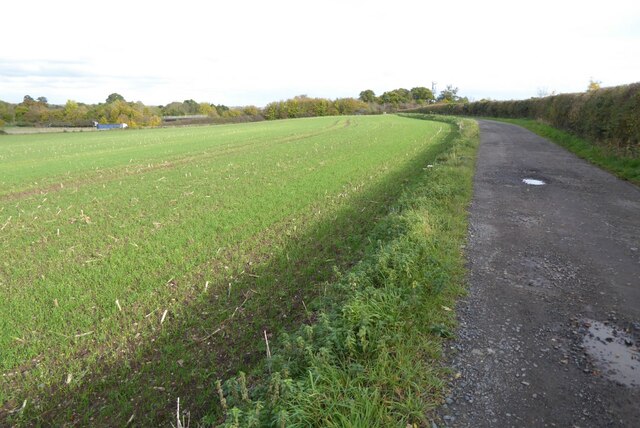
Sherbourne Images

Images are sourced within 2km of 52.252773/-1.616733 or Grid Reference SP2661. Thanks to Geograph Open Source API. All images are credited.

Track through Hampton Wood
Hampton Wood Meadow
Hampton Wood Meadow
Entrance to Alderham Farm on Barford Hill
High Street, Barford
The Glebe Hotel, Barford
St Peter's Church, Barford
Joseph Arch public house, Barford
Houses on Church Street, Barford
Mill Lane, Barford
Mill Lane, Barford
Bridge Street, Barford
Water Lane, Sherbourne
Stratford Road at Vicarage Lane
Stratford Road towards the A46
Two moated sites at Court Farm House, Fulbrook: aerial 2021 The monument survives well and remains largely unencumbered by modern development. It represents a good example of two moated sites constructed within close proximity to each other with valuable documentary information concerning their layout. Evidence for the design and function of the manor house which occupied the southern moated island and for structures which occupied the northern moated island will survive beneath the ground surface. Additionally organic material will be preserved within the waterfilled moat ditches of the southern moated site. The site retains well preserved remains of an extensive fishpond system, and the whole complex is set within units of ridge and furrow, the development of which will inform discussion of the date and character of occupation of the various parts of the site.

See <span class="nowrap"><a title="https://historicengland.org.uk/listing/the-list/list-entry/1011196" rel="nofollow ugc noopener" href="https://historicengland.org.uk/listing/the-list/list-entry/1011196">Link</a><img style="margin-left:2px;" alt="External link" title="External link - shift click to open in new window" src="https://s1.geograph.org.uk/img/external.png" width="10" height="10"/></span>
Two moated sites at Court Farm House, Fulbrook: aerial 2021
The monument survives well and remains largely unencumbered by modern development. It represents a good example of two moated sites constructed within close proximity to each other with valuable documentary information concerning their layout. Evidence for the design and function of the manor house which occupied the southern moated island and for structures which occupied the northern moated island will survive beneath the ground surface. Additionally organic material will be preserved within the waterfilled moat ditches of the southern moated site. The site retains well preserved remains of an extensive fishpond system, and the whole complex is set within units of ridge and furrow, the development of which will inform discussion of the date and character of occupation of the various parts of the site. See LinkExternal link
Sherbourne : The A46 A roundabout on the A46.
Sherbourne : The A46
A roundabout on the A46.
Fallen tree Fallen tree beside a kissing gate.
Fallen tree
Fallen tree beside a kissing gate.
Shakespeare's Avon Way The Shakespeare's Avon Way long distance path follows this track.  The M40 motorway can be seen beyond the field.
Shakespeare's Avon Way
The Shakespeare's Avon Way long distance path follows this track. The M40 motorway can be seen beyond the field.
Show me another place!

Sherbourne is located at Grid Ref: SP2661 (Lat: 52.252773, Lng: -1.616733)

Administrative County: Warwickshire

District: Warwick

Police Authority: Warwickshire

What 3 Words

///shades.king.junior. Near Warwick, Warwickshire

Nearby Locations

Sherbourne

Related Wikis

Sherbourne, Warwickshire

Sherbourne is a village and civil parish in the Warwick district of Warwickshire, England. The population of the civil parish at the 2011 Census was 174...

Longbridge Interchange

Longbridge Interchange (also known as Longbridge Island) is a major road and motorway junction between Warwick and Sherbourne, Warwickshire, connecting...

Barford, Warwickshire

Barford is a village and civil parish in the Warwick district of Warwickshire, England, about three miles south of Warwick. As at the 2001 census the parish...

RAF Warwick

RAF Warwick is a former Royal Air Force relief landing ground located 1.7 miles (2.7 km) south west of Warwick, Warwickshire, England. RAF Warwick was...

Nearby Amenities

Located within 500m of 52.252773,-1.616733
Bus Stop
Watery Lane
Bus: yes
Naptan AtcoCode: 4200F164601
Naptan Bearing: N
Naptan CommonName: Watery Lane
Naptan Indicator: Adj
Naptan Landmark: Bus Shelter
Naptan NaptanCode: warajpdm
Naptan Street: A429
Naptan Verified: no
Public Transport: platform
Source: naptan_import
Lat/Long: 52.2562083/-1.6135831
Bus Stop
Turn
Bus: yes
Naptan AtcoCode: 4200F164602
Naptan Bearing: S
Naptan CommonName: Turn
Naptan Crossing: Watery Lane
Naptan Indicator: Opp
Naptan Landmark: Turn
Naptan NaptanCode: warajpdp
Naptan Street: A429
Naptan Verified: no
Public Transport: platform
Source: naptan_import
Lat/Long: 52.2561625/-1.6133198
Sherbourne
Place: village
Wikidata: Q1990236
Lat/Long: 52.2505658/-1.6169803
Post Box
Brand: Royal Mail
Brand Wikidata: Q638098
Collection Times: Mo-Fr 15:45; Sa 07:15
Operator: Royal Mail
Operator Wikidata: Q638098
Post Box Type: lamp
Ref: CV35 76
Royal Cypher: EIIR
Royal Cypher Wikidata: Q33102113
Source: survey
Lat/Long: 52.2518913/-1.6179535
Give Way
Direction: backward
Lat/Long: 52.253744/-1.6145203
Crossing
Lat/Long: 52.2543684/-1.6141426
Fire Hydrant
Emergency: fire_hydrant
Fire Hydrant Position: sidewalk
Fire Hydrant Type: underground
Lat/Long: 52.2527582/-1.6167444
Fire Hydrant
Emergency: fire_hydrant
Fire Hydrant Position: sidewalk
Fire Hydrant Type: underground
Lat/Long: 52.2519125/-1.6179326
Brand: National Grid
Brand Wikidata: Q1465461
Location Transition: yes
Material: wood
Operator: National Grid Electricity Distribution
Operator Old: Western Power Distribution
Operator Wikidata: Q7988183
Owner: National Grid Electricity Distribution (East Midlands) Plc
Owner Wikidata: Q114348127
Power: pole
Lat/Long: 52.256418/-1.6135794
Brand: National Grid
Brand Wikidata: Q1465461
Material: wood
Operator: National Grid Electricity Distribution
Operator Old: Western Power Distribution
Operator Wikidata: Q7988183
Owner: National Grid Electricity Distribution (East Midlands) Plc
Owner Wikidata: Q114348127
Power: pole
Lat/Long: 52.2567447/-1.6149983
Brand: National Grid
Brand Wikidata: Q1465461
Material: wood
Operator: National Grid Electricity Distribution
Operator Old: Western Power Distribution
Operator Wikidata: Q7988183
Owner: National Grid Electricity Distribution (East Midlands) Plc
Owner Wikidata: Q114348127
Power: pole
Lat/Long: 52.2570665/-1.6164359
Street Lamp
Lat/Long: 52.2565257/-1.6134189
Give Way
Direction: forward
Lat/Long: 52.2537773/-1.614226
Brand: National Grid
Brand Wikidata: Q1465461
Location Transition: yes
Material: wood
Operator: National Grid Electricity Distribution
Operator Old: Western Power Distribution
Operator Wikidata: Q7988183
Owner: National Grid Electricity Distribution (East Midlands) Plc
Owner Wikidata: Q114348127
Power: pole
Lat/Long: 52.2500007/-1.619936
Brand: National Grid
Brand Wikidata: Q1465461
Material: wood
Operator: National Grid Electricity Distribution
Operator Old: Western Power Distribution
Operator Wikidata: Q7988183
Owner: National Grid Electricity Distribution (East Midlands) Plc
Owner Wikidata: Q114348127
Power: pole
Lat/Long: 52.2485732/-1.6193519
Sherbourne Park
Brand: National Grid
Brand Wikidata: Q1465461
Frequency: 50
Material: wood
Operator: National Grid Electricity Distribution
Operator Old: Western Power Distribution
Operator Wikidata: Q7988183
Owner: National Grid Electricity Distribution (East Midlands) Plc
Owner Wikidata: Q114348127
Power: pole
Ref: 931845
Transformer: distribution
Voltage Primary: 11000
Voltage Secondary: 400
Lat/Long: 52.2490385/-1.6195849
Brand: National Grid
Brand Wikidata: Q1465461
Material: wood
Operator: National Grid Electricity Distribution
Operator Old: Western Power Distribution
Operator Wikidata: Q7988183
Owner: National Grid Electricity Distribution (East Midlands) Plc
Owner Wikidata: Q114348127
Power: pole
Lat/Long: 52.2495193/-1.6197454
The data included in this document is from www.openstreetmap.org. The data is made available under ODbL.

Have you been to Sherbourne?

Leave your review of Sherbourne below (or comments, questions and feedback).