Shepperton Green
Settlement in Middlesex Spelthorne
England
Shepperton Green
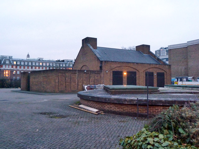
Shepperton Green is a charming village located in the county of Middlesex, England. Situated on the southern bank of the River Thames, it is part of the Spelthorne borough. With its picturesque surroundings and peaceful atmosphere, Shepperton Green offers a delightful escape from the hustle and bustle of nearby urban areas.
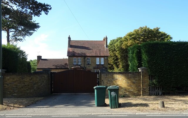
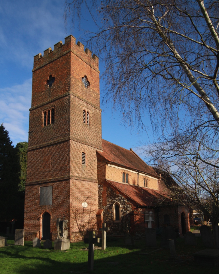
The village is known for its rich history, dating back to the Domesday Book of 1086. It has managed to preserve much of its traditional character over the years, evident in its beautiful cottages and historic buildings. The All Saints Church, a Grade I listed building, stands proudly in the heart of the village, showcasing stunning medieval architecture.
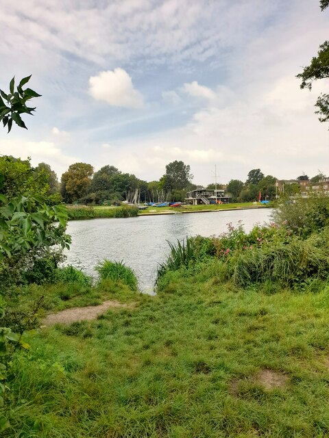
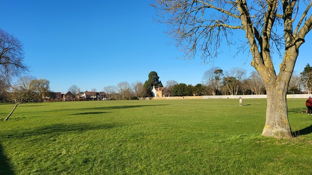
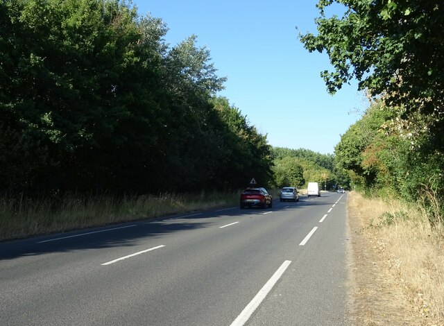
Nature enthusiasts are drawn to Shepperton Green for its proximity to the River Thames and its surrounding green spaces. The village is home to several parks and open areas, providing ample opportunities for leisurely walks or picnics. The nearby Shepperton Lock is a popular spot for boating and fishing, attracting both locals and visitors alike.
Despite its tranquil setting, Shepperton Green is well-connected to neighboring towns and cities. The village benefits from excellent transport links, with regular train services to London Waterloo and easy access to major road networks. This makes it an attractive location for commuters seeking a peaceful residential area within commuting distance of the capital.
In addition to its natural beauty, Shepperton Green also boasts a range of amenities to cater to its residents' needs. The village features a selection of local shops, including convenience stores, boutiques, and quaint cafes. It is also proud to host various community events throughout the year, fostering a strong sense of community spirit among its residents.
Overall, Shepperton Green offers a harmonious blend of history, natural beauty, and convenient living, making it a desirable place to call home in Middlesex.
If you have any feedback on the listing, please let us know in the comments section below.
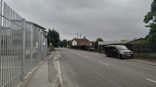
Shepperton Green Images
Images are sourced within 2km of 51.402579/-0.454526 or Grid Reference TQ0768. Thanks to Geograph Open Source API. All images are credited.


Shepperton Green is located at Grid Ref: TQ0768 (Lat: 51.402579, Lng: -0.454526)
Administrative County: Surrey
District: Spelthorne
Police Authority: Surrey
What 3 Words
///stiff.cargo.door. Near Shepperton, Surrey
Nearby Locations
Related Wikis
Littleton, Spelthorne
Littleton is a village in the Borough of Spelthorne, approximately 16 mi (26 km) west of central London. Historically part of the county of Middlesex...
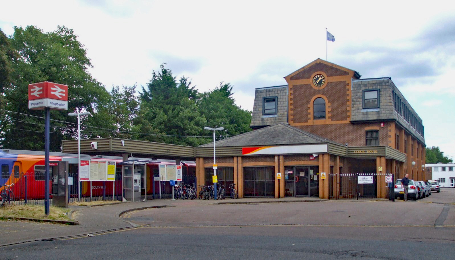
Shepperton railway station
Shepperton railway station is a station serving Shepperton, in Surrey, England. It is 18 miles 73 chains (30.4 km) down the line from London Waterloo....

Shepperton Studios
Shepperton Studios is a film studio located in Shepperton, Surrey, England, with a history dating back to 1931. It is now part of the Pinewood Studios...
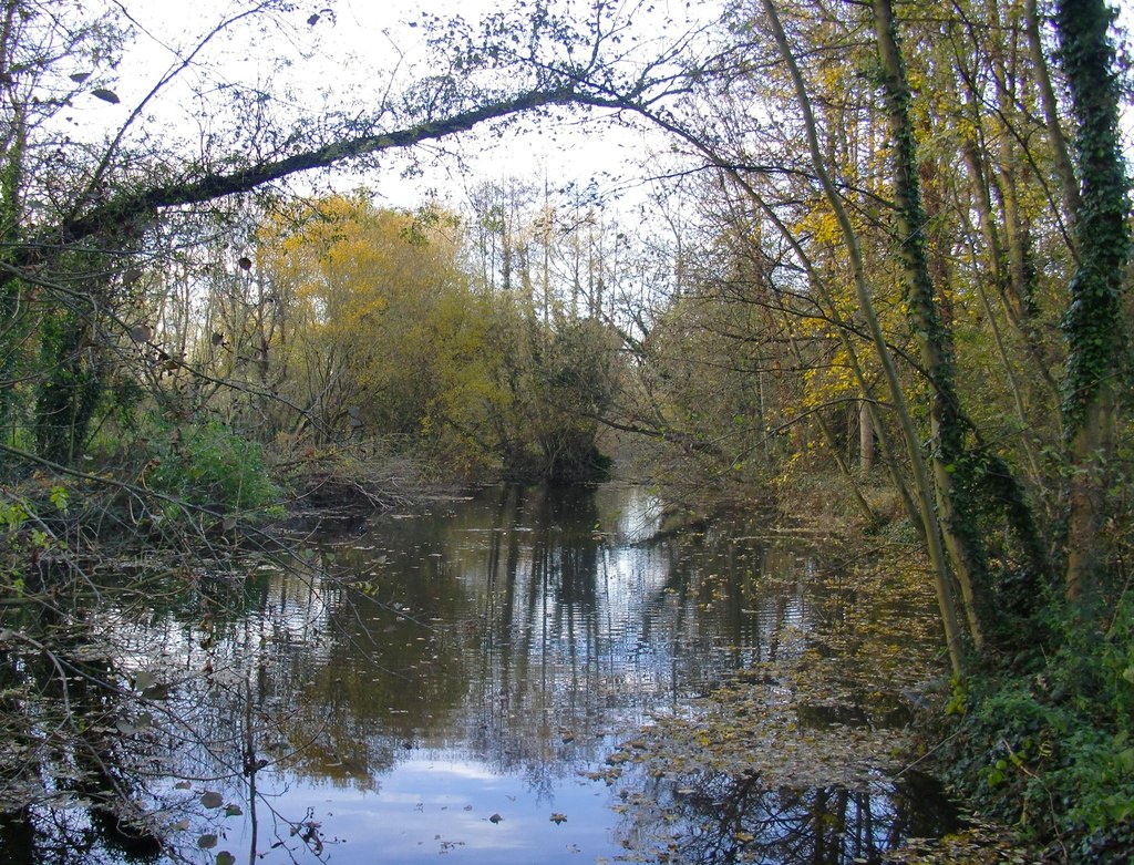
River Ash, Surrey
The River Ash is a small, shallow river in Surrey, England. Its course of 10 kilometres (6.2 mi) is just outside Greater London. Work has been carried...
Thames Water Ring Main
The Thames Water Ring Main (TWRM, formerly the London Water Ring Main) is a system of approximately 80 km (50 mi) of concrete tunnels which transfer drinking...

Thamesmead School
Thamesmead School is a secondary academy school for boys and girls located in Shepperton, England. It is for students aged 11 to 16, and does not have...

Shepperton
Shepperton is a village in north Surrey, England, around 15 mi (24 km) south west of central London. On the north bank of the River Thames, the settlement...
Halliford School
Halliford School is a selective boys independent day school, which also admits girls into its sixth form, in Lower Halliford, Shepperton, Surrey, England...
Nearby Amenities
Located within 500m of 51.402579,-0.454526Have you been to Shepperton Green?
Leave your review of Shepperton Green below (or comments, questions and feedback).