Shenstone

Settlement in Worcestershire Wyre Forest

England

Shenstone

Stone Church & School Taken from the footpath leading to the A448, to the south-west of the church. The school is the white building on the right of the photograph. The stile leading out on to the road is visible in the middle of the picture, on the left-hand side.
Stone Church & School Credit: Martyn B

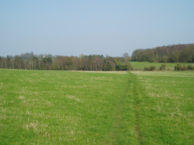
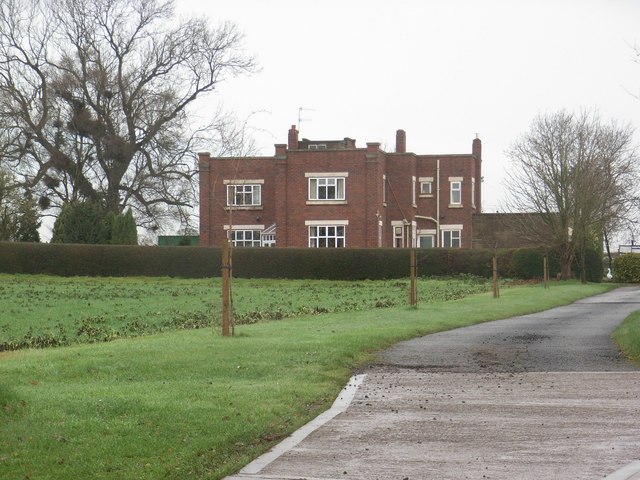
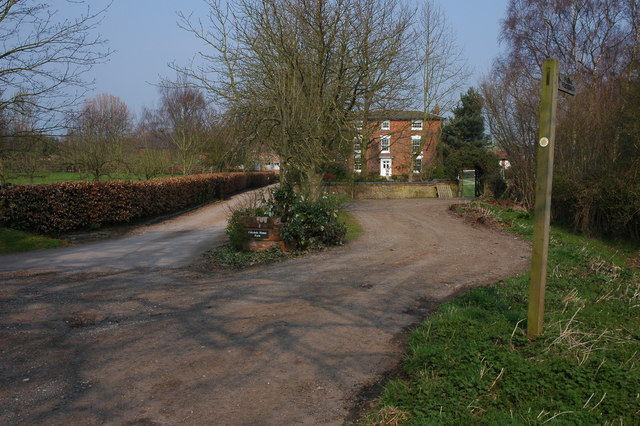
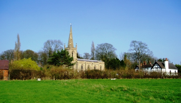
Shenstone is a small village located in the county of Worcestershire, England. Situated approximately 7 miles north of the city of Worcester, Shenstone falls within the administrative district of Wychavon. The village is nestled in a rural landscape characterized by rolling hills, lush green fields, and picturesque farmlands.

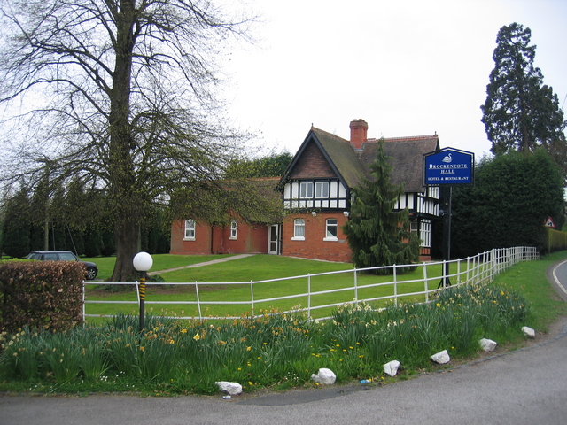
With a population of around 500 residents, Shenstone is known for its tight-knit community and friendly atmosphere. The village is primarily residential, consisting of a mix of traditional and modern houses. The architecture in Shenstone reflects a blend of historic buildings alongside more contemporary developments.

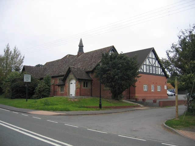
Despite its small size, Shenstone offers a range of amenities to its residents. These include a local pub, a village hall, and a primary school. Nearby, the larger towns of Droitwich Spa and Bromsgrove provide additional amenities, including supermarkets, shops, and leisure facilities.

Surrounded by beautiful countryside, Shenstone is a haven for nature lovers and outdoor enthusiasts. The village is crisscrossed by footpaths and bridleways, offering ample opportunities for walking, cycling, and horse riding. The scenic Worcestershire countryside provides a stunning backdrop for these activities, with views of the Malvern Hills in the distance.

Transport links in Shenstone are convenient, with easy access to major roads including the A38 and M5 motorway. The village is well-connected to neighboring towns and cities, making it an attractive place to live for commuters.

In summary, Shenstone is a charming and peaceful village in Worcestershire, boasting a close-knit community, beautiful surroundings, and convenient transport links.

If you have any feedback on the listing, please let us know in the comments section below.
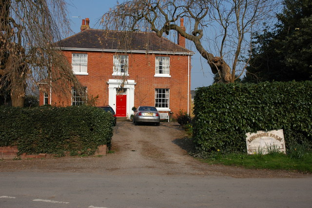
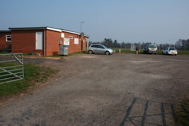
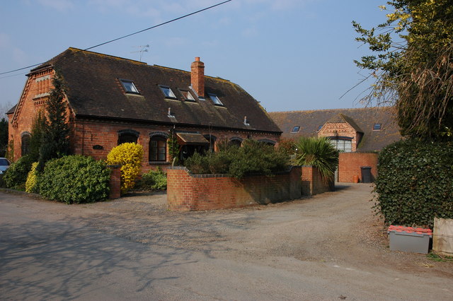
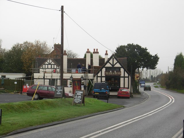
Shenstone Images

Images are sourced within 2km of 52.359454/-2.195856 or Grid Reference SO8673. Thanks to Geograph Open Source API. All images are credited.

Stone Church & School Taken from the footpath leading to the A448, to the south-west of the church. The school is the white building on the right of the photograph. The stile leading out on to the road is visible in the middle of the picture, on the left-hand side.
Stone Church & School
Taken from the footpath leading to the A448, to the south-west of the church. The school is the white building on the right of the photograph. The stile leading out on to the road is visible in the middle of the picture, on the left-hand side.
Around Stanklyn Picture taken looking east along the public footpath leading to Stanklyn Lane, from grid reference SO85175 74444, directly under the power lines. Stanklyn Wood can be seen on the higher ground to the right of the picture, and the spire of Stone Church (see image in adjacent square) is just visible above the tree-line towards the left.
Around Stanklyn
Picture taken looking east along the public footpath leading to Stanklyn Lane, from grid reference SO85175 74444, directly under the power lines. Stanklyn Wood can be seen on the higher ground to the right of the picture, and the spire of Stone Church (see image in adjacent square) is just visible above the tree-line towards the left.
Harvington Hall Harvington Hall is a moated medieval and Elizabethan manor house, famous for its magnificent priest-holes.
Harvington Hall
Harvington Hall is a moated medieval and Elizabethan manor house, famous for its magnificent priest-holes.
Ruined greenhouses Situated in the triangle between two minor roads in the north-west section of the square, these greenhouses have clearly seen better times ! Picture taken from the minor road at SO 87117 73628.
Ruined greenhouses
Situated in the triangle between two minor roads in the north-west section of the square, these greenhouses have clearly seen better times ! Picture taken from the minor road at SO 87117 73628.
Chaddesley Corbett Village Hall The hall is in Brockencote and was built in 1895 and much extended recently for the millennium.
Chaddesley Corbett Village Hall
The hall is in Brockencote and was built in 1895 and much extended recently for the millennium.
Entrance to Brockencote Hall The lodge at the start of the driveway to the hall.
Entrance to Brockencote Hall
The lodge at the start of the driveway to the hall.
The Hare and Hounds
The Hare and Hounds
Madinatululoom Main entrance to the Islamic college
Madinatululoom
Main entrance to the Islamic college
Cursley Distribution Park
Cakebole House Farm
Cakebole House Farm
Longmore Farm near Cakebole
Chaddesley Corbett Sports Field According to the signs on the building this sports field is used by both Chaddesley Corbett Cricket Club and the Rugby Club.
Chaddesley Corbett Sports Field
According to the signs on the building this sports field is used by both Chaddesley Corbett Cricket Club and the Rugby Club.
Converted farm buildings at Longmore Farm
Gate to a field at Cakebole This field is opposite Cakebole House Farm.
Gate to a field at Cakebole
This field is opposite Cakebole House Farm.
Corn field near New House Farm
Harvington Hall This moated Elizabethan House was built in the 1580s by Humphrey Pakington. 
Many of the rooms still have their original Elizabethan wall-paintings and the Hall claims the finest series of priest-holes anywhere in the country.

In 1696 the Hall passed to the Throckmortons of Coughton Court in Warwickshire, who owned it until 1923 when it was bought for the Roman Catholic Archdiocese of Birmingham, which restored it and now opens it to the public.
Harvington Hall
This moated Elizabethan House was built in the 1580s by Humphrey Pakington. Many of the rooms still have their original Elizabethan wall-paintings and the Hall claims the finest series of priest-holes anywhere in the country. In 1696 the Hall passed to the Throckmortons of Coughton Court in Warwickshire, who owned it until 1923 when it was bought for the Roman Catholic Archdiocese of Birmingham, which restored it and now opens it to the public.
Harvington Hall (detail) and moat Moated Elizabethan manor house, with secret chapels and priest hides. Owned by the RC Archdiocese of Birmingham.
Harvington Hall (detail) and moat
Moated Elizabethan manor house, with secret chapels and priest hides. Owned by the RC Archdiocese of Birmingham.
Show me another place!

Shenstone is located at Grid Ref: SO8673 (Lat: 52.359454, Lng: -2.195856)

Administrative County: Worcestershire

District: Wyre Forest

Police Authority: West Mercia

What 3 Words

///erupt.upstarts.goes. Near Hartlebury, Worcestershire

Nearby Locations

Shenstone

Related Wikis

Spennells

Spennells is a suburb of Kidderminster, Worcestershire about a mile south of the town centre. It is located just to the east of the A449 and the railway...

Shenstone, Worcestershire

Shenstone is a village in Worcestershire, England, located near Kidderminster.

Harvington Hall

Harvington Hall is a moated medieval and Elizabethan manor house in the hamlet of Harvington in the civil parish of Chaddesley Corbett, southeast of Kidderminster...

Stone, Worcestershire

Stone is a village and civil parish in the Wyre Forest District of Worcestershire, England. Of Anglo-Saxon origin, it lies two miles south-east of Kidderminster...

Chaddesley Corbett

Chaddesley Corbett is a village and civil parish in the Wyre Forest District of Worcestershire, England. The Anglican and secular versions of the parish...

Wyre Forest School

Wyre Forest School (formerly Stourminster Special School) is a school in Kidderminster, Worcestershire, for students with complex special needs, and...

Rushock

Rushock is a village and civil parish in the Wyre Forest District of Worcestershire, England. At the 2001 census it had a population of 138. The grave...

Summerfield Research Station

The Summerfield Research Station is a development and production site for solid rocket motors in the United Kingdom officially formed on 1 September 1951...

Nearby Amenities

Located within 500m of 52.359454,-2.195856
Shenstone
Place: hamlet
Lat/Long: 52.3594314/-2.2012568
Post Box
Post Box Type: wall
Lat/Long: 52.3602942/-2.201508
The data included in this document is from www.openstreetmap.org. The data is made available under ODbL.

Have you been to Shenstone?

Leave your review of Shenstone below (or comments, questions and feedback).