Sheffield Lane Top
Settlement in Yorkshire
England
Sheffield Lane Top
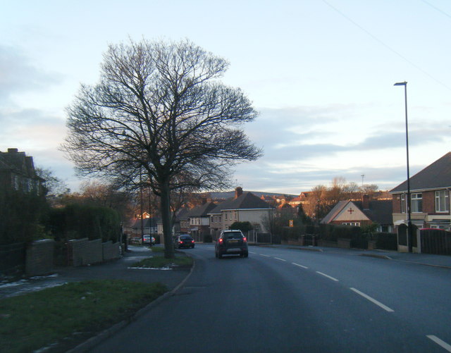
Sheffield Lane Top is a residential area located in the northern part of Sheffield, Yorkshire, England. Situated approximately 3 miles away from the city center, it is a well-connected and vibrant community.
The area is predominantly residential, characterized by a mix of housing types including terraced houses, semi-detached houses, and some apartment complexes. It is home to a diverse population, with a range of age groups and ethnic backgrounds represented.
Sheffield Lane Top benefits from excellent transport links. It is served by multiple bus routes, providing easy access to surrounding areas and the city center. The nearby Sheffield Meadowhall Interchange offers further transportation options, with its train, tram, and bus stations.
Residents of Sheffield Lane Top have access to a range of local amenities. The area boasts several convenience stores, supermarkets, and a variety of shops and services on nearby Northern Avenue. Additionally, there are several schools in the vicinity, providing education options for families.
Nature lovers can take advantage of the nearby green spaces, such as Concord Park and Woolley Wood. These areas offer opportunities for outdoor activities and leisurely walks.
Sheffield Lane Top is also close to several leisure and entertainment facilities. The Meadowhall Shopping Centre, one of the largest shopping centers in the UK, is just a short distance away. Here, visitors can enjoy a wide range of retail outlets, restaurants, and a cinema.
Overall, Sheffield Lane Top is a vibrant residential area with excellent transport links, a variety of local amenities, and access to green spaces. It offers a convenient and comfortable living environment for its residents.
If you have any feedback on the listing, please let us know in the comments section below.
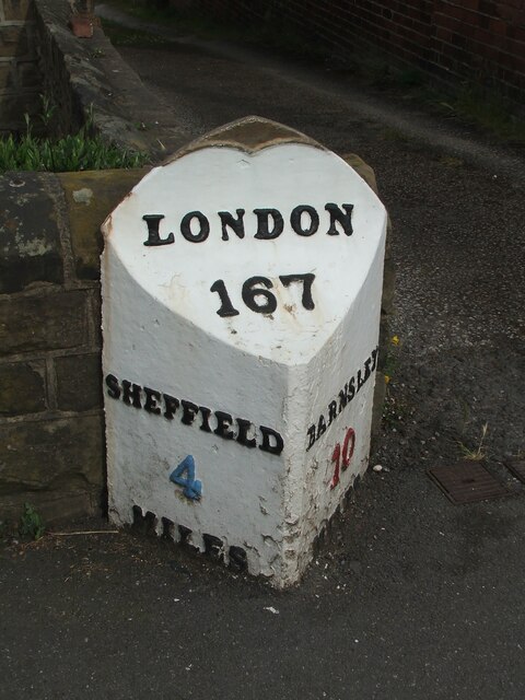
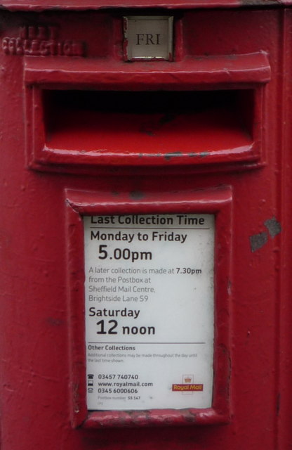
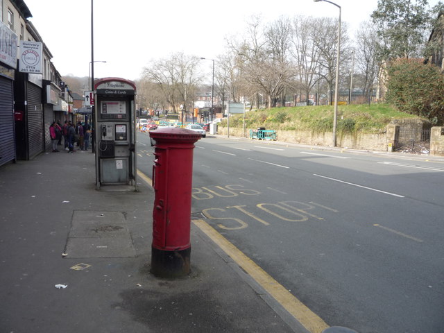
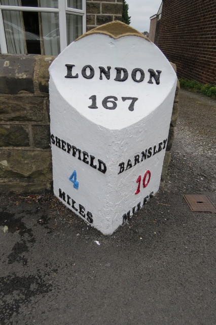
Sheffield Lane Top Images
Images are sourced within 2km of 53.423089/-1.454467 or Grid Reference SK3691. Thanks to Geograph Open Source API. All images are credited.


Sheffield Lane Top is located at Grid Ref: SK3691 (Lat: 53.423089, Lng: -1.454467)
Division: West Riding
Unitary Authority: Sheffield
Police Authority: South Yorkshire
What 3 Words
///forces.smiled.valid. Near Burngreave, South Yorkshire
Nearby Locations
Related Wikis
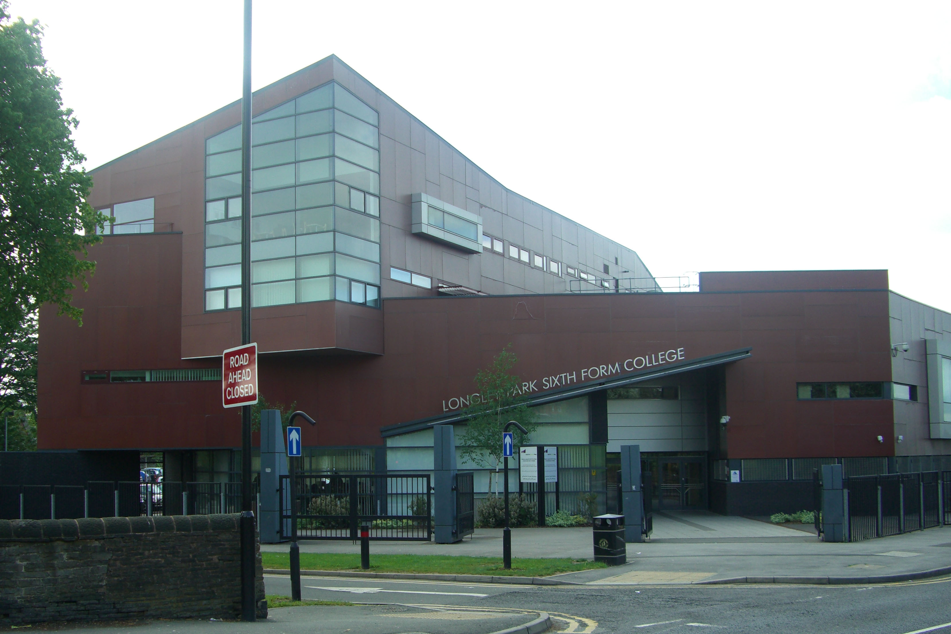
Longley Park Sixth Form
Longley Park Sixth Form is a 16-18 academy and was previously a further education sixth form in the Longley area of Sheffield, South Yorkshire, England...

Shiregreen child murders
At around 07:30 BST on 24 May 2019, police officers were called to a residential property on Gregg House Road in Shiregreen, a northern suburb of Sheffield...

Firth Park Academy
Firth Park Academy is a coeducational secondary school with academy status, located in the Shiregreen area of Sheffield, England. It is partnered with...

Longley Park
Longley Park is a public park within the City of Sheffield, South Yorkshire, England. The park lies between the suburbs of Longley and Firth Park, four...
Nearby Amenities
Located within 500m of 53.423089,-1.454467Have you been to Sheffield Lane Top?
Leave your review of Sheffield Lane Top below (or comments, questions and feedback).