Blagdon Hill
Settlement in Somerset Somerset West and Taunton
England
Blagdon Hill

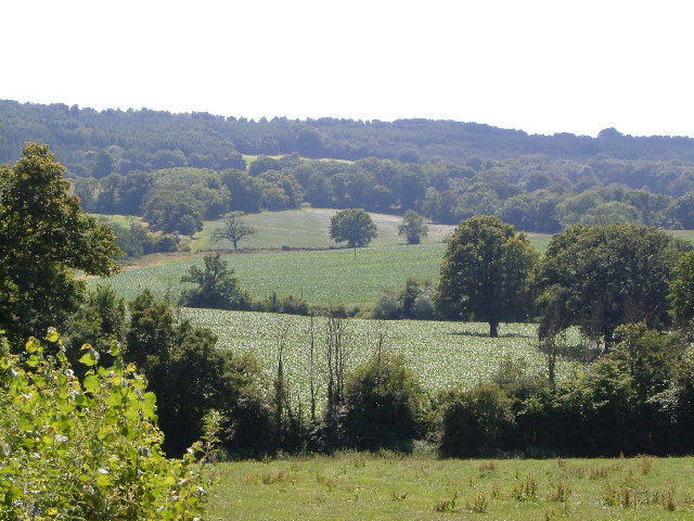
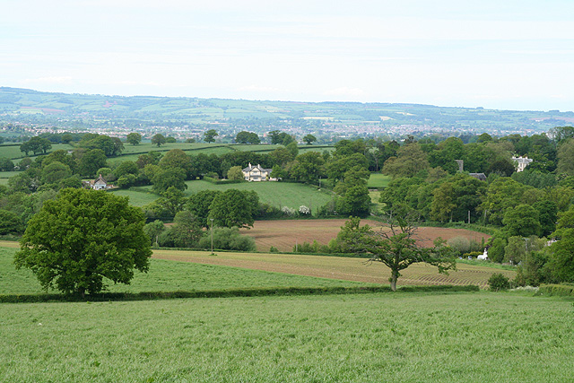
Blagdon Hill is a small village located in the county of Somerset, England. Situated approximately 5 miles southeast of the city of Taunton, it lies within the Taunton Deane district. The village is nestled in the picturesque Blackdown Hills, a designated Area of Outstanding Natural Beauty.
Blagdon Hill is known for its tranquil and rural setting, surrounded by rolling hills and lush green countryside. The village itself is home to a close-knit community, with a population of around 500 residents. It boasts a charming mix of traditional stone cottages and more modern buildings.
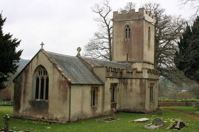
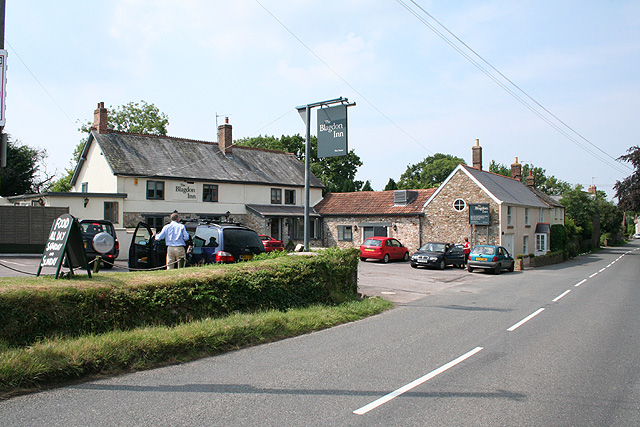
The village is well-served by amenities, including a village hall, a primary school, and a local pub, which serves as a popular meeting place for locals and visitors alike. Blagdon Hill is also home to St. Michael and All Angels Church, a beautiful 12th-century Grade I listed building that holds regular services.
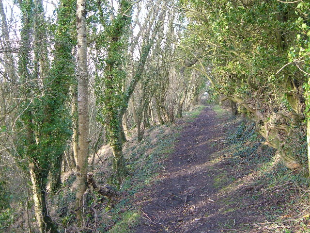
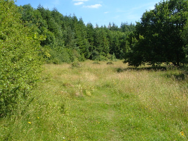
Nature enthusiasts will find plenty to explore in the surrounding area. Blagdon Hill is located near the Blackdown Hills Nature Reserve, offering opportunities for hiking, biking, and wildlife spotting. The village is also within close proximity to Blagdon Lake, a large reservoir known for its birdwatching and fishing opportunities.
Overall, Blagdon Hill offers a peaceful and idyllic setting, making it an ideal place for those seeking a tranquil countryside lifestyle. Its proximity to Taunton provides easy access to further amenities and transport links, making it a popular choice for both commuters and those looking to escape the bustle of city life.
If you have any feedback on the listing, please let us know in the comments section below.
Blagdon Hill Images
Images are sourced within 2km of 50.950722/-3.125766 or Grid Reference ST2117. Thanks to Geograph Open Source API. All images are credited.


Blagdon Hill is located at Grid Ref: ST2117 (Lat: 50.950722, Lng: -3.125766)
Administrative County: Somerset
District: Somerset West and Taunton
Police Authority: Avon and Somerset
What 3 Words
///actor.argue.paraded. Near Taunton, Somerset
Nearby Locations
Related Wikis

Luxhay Reservoir
Luxhay Reservoir is an artificial reservoir near Angersleigh, Somerset, England. It is now owned by Wessex Water. It was built in 1905 by the town corporation...

Leigh Reservoir
Leigh Reservoir, or Leigh Hill Reservoir, is a small reservoir in Somerset, England. It was built in 1893 to supply water to the town of Taunton, Somerset...
Prior's Park & Adcombe Wood
Prior's Park & Adcombe Wood (grid reference ST225170) is a 103.6 hectare (256.0 acre) biological Site of Special Scientific Interest south of Pitminster...

Church of St Michael, Angersleigh
The Anglican Church of St Michael in Angersleigh, Somerset, England was built in the 14th century. It is a Grade II* listed building. == History == The...

RAF Culmhead
Royal Air Force Culmhead or more simply RAF Culmhead is a former Royal Air Force station, situated at Churchstanton on the Blackdown Hills in Somerset...
Quants Reserve
Quants Reserve is a nature reserve north west of Burnworthy in Somerset, England. It consists of a grassland clearing in a forestry plantation. It is well...
Pitminster
Pitminster is a village and civil parish in Somerset, England, situated 4 miles (6.4 km) south of Taunton. The parish has a population of 956. The parish...

Deadman SSSI, Somerset
Deadman (grid reference ST234156) is a 28.8 hectare (71.2 acre) biological Site of Special Scientific Interest on the edge of the Blackdown Hills, near...
Nearby Amenities
Located within 500m of 50.950722,-3.125766Have you been to Blagdon Hill?
Leave your review of Blagdon Hill below (or comments, questions and feedback).