Sharpley Heath

Settlement in Staffordshire Stafford

England

Sharpley Heath

Looking across to Hilderstone Church
Looking across to Hilderstone Church Credit: Mick Malpass

Sharpley Heath is a small hamlet located in the county of Staffordshire, England. Situated approximately 8 miles north of the town of Stafford, it is a rural area known for its picturesque countryside and peaceful atmosphere.

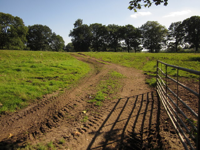
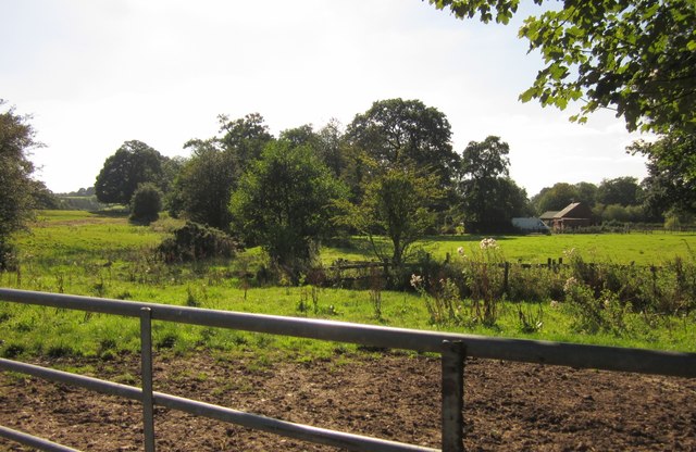
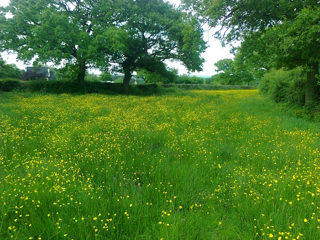
The hamlet is surrounded by rolling hills and green fields, providing residents and visitors with stunning views of the Staffordshire landscape. The area is predominantly agricultural, with farming being the primary industry in the region.

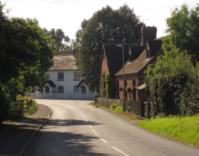
Despite its small size, Sharpley Heath is home to a tight-knit community. The hamlet consists of a cluster of houses, many of which are traditional stone cottages, adding to the charm and character of the area. The residents of Sharpley Heath take pride in their community and often come together for local events and gatherings.

For those seeking outdoor activities, Sharpley Heath offers ample opportunities for walking, hiking, and exploring the surrounding countryside. The nearby Cannock Chase, an Area of Outstanding Natural Beauty, is a popular destination for nature enthusiasts and offers a range of recreational activities such as cycling, horse riding, and wildlife spotting.

While Sharpley Heath is primarily a residential area, amenities such as shops, schools, and healthcare facilities can be found in the nearby towns of Stafford and Stone, both within easy reach by car or public transport.

Overall, Sharpley Heath is a peaceful and idyllic hamlet, providing a tranquil escape from the hustle and bustle of city life, while still offering convenient access to nearby amenities.

If you have any feedback on the listing, please let us know in the comments section below.

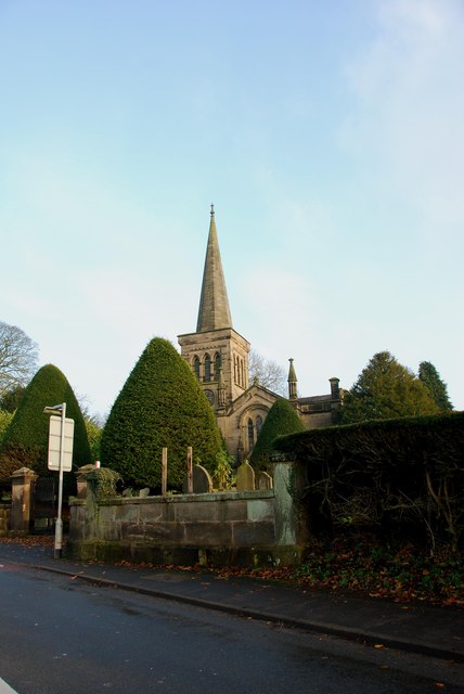
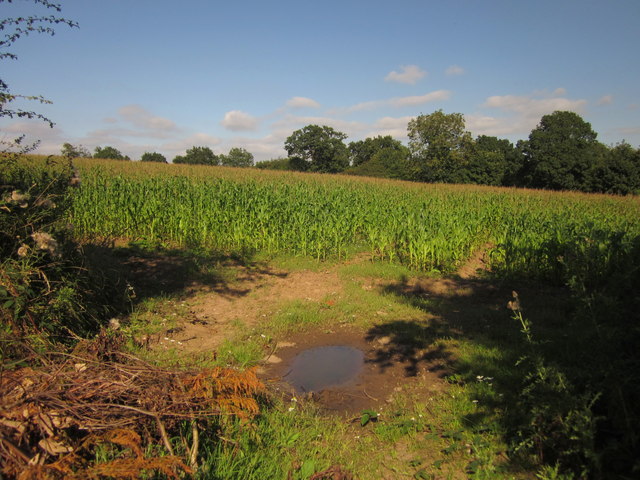
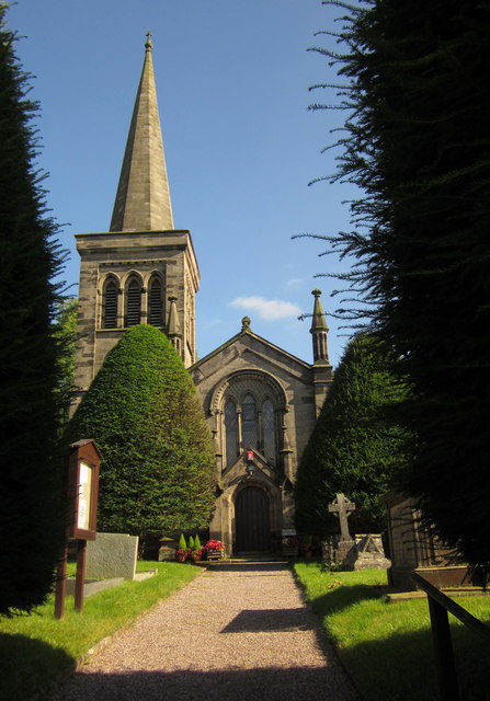
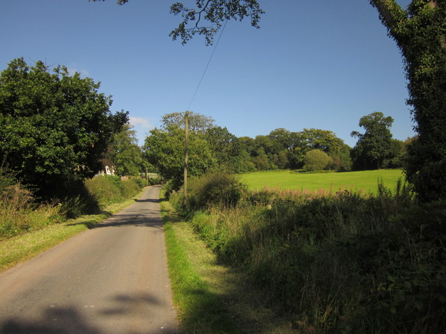
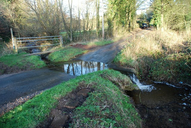
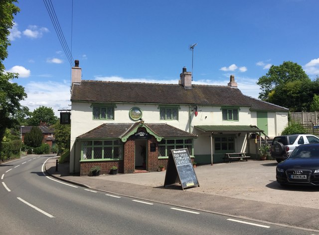
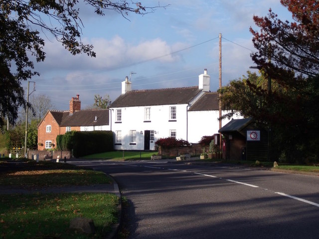
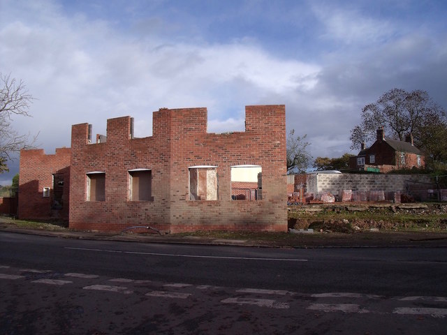
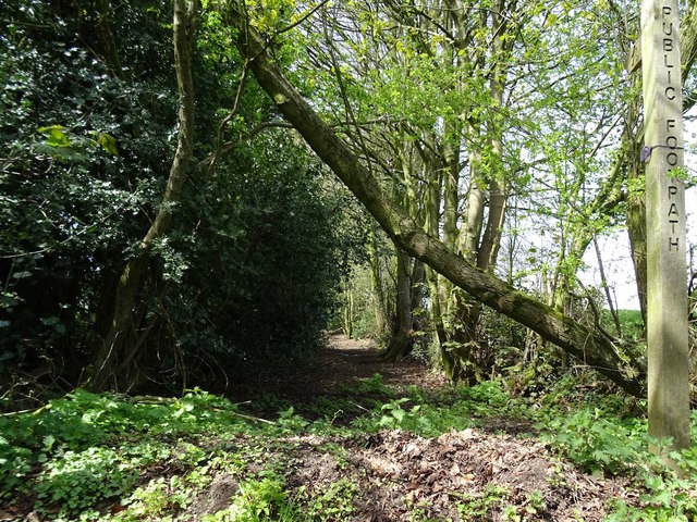
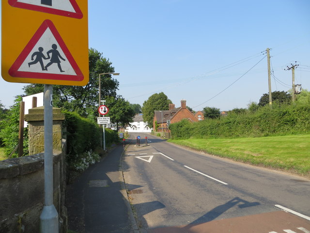
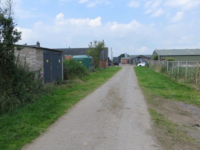
Sharpley Heath Images

Images are sourced within 2km of 52.915989/-2.054993 or Grid Reference SJ9635. Thanks to Geograph Open Source API. All images are credited.

Looking across to Hilderstone Church
Maize near Hilderstone From the bend in the lane shown in <a href="https://www.geograph.org.uk/photo/199447">SJ9435 : Lane near Hilderstone</a>. The trees mark the line of the B5066.
Maize near Hilderstone
From the bend in the lane shown in SJ9435 : Lane near Hilderstone. The trees mark the line of the B5066.
Christ Church, Hilderstone Built in 1827-9 by Thomas Trubshaw <span class="nowrap"><a title="http://www.britishlistedbuildings.co.uk/en-272244-christ-church-hilderstone-staffordshire" rel="nofollow ugc noopener" href="http://www.britishlistedbuildings.co.uk/en-272244-christ-church-hilderstone-staffordshire">Link</a><img style="margin-left:2px;" alt="External link" title="External link - shift click to open in new window" src="https://s1.geograph.org.uk/img/external.png" width="10" height="10"/></span> .
Christ Church, Hilderstone
Built in 1827-9 by Thomas Trubshaw LinkExternal link .
Hall Lane Approaching <a href="https://www.geograph.org.uk/photo/459470">SJ9535 : Manor House, Hilderstone</a>. The wood on the right is named "New Forest" but is fairly modest in size.
Hall Lane
Approaching SJ9535 : Manor House, Hilderstone. The wood on the right is named "New Forest" but is fairly modest in size.
Field by Hall Lane An open gate into a pasture by the lane shown in <a href="https://www.geograph.org.uk/photo/3126295">SJ9535 : Hall Lane</a>. The trees ahead form an avenue across the park of Hilderstone Hall.
Field by Hall Lane
An open gate into a pasture by the lane shown in SJ9535 : Hall Lane. The trees ahead form an avenue across the park of Hilderstone Hall.
Cresswell Road, Hilderstone With the road meeting the B5066. On the far side of the junction are The Smithy and School House, early C19 gothic with pointed arched windows <span class="nowrap"><a title="http://www.britishlistedbuildings.co.uk/en-272250-the-smithy-and-school-house-hilderstone-" rel="nofollow ugc noopener" href="http://www.britishlistedbuildings.co.uk/en-272250-the-smithy-and-school-house-hilderstone-">Link</a><img style="margin-left:2px;" alt="External link" title="External link - shift click to open in new window" src="https://s1.geograph.org.uk/img/external.png" width="10" height="10"/></span> . On the right is Mistletoe House.
Cresswell Road, Hilderstone
With the road meeting the B5066. On the far side of the junction are The Smithy and School House, early C19 gothic with pointed arched windows LinkExternal link . On the right is Mistletoe House.
Towards Brook Farm Looking to the right from the same spot as <a href="https://www.geograph.org.uk/photo/3126311">SJ9534 : Field by Hall Lane</a>, looking across a small stream and pasture fields.
Towards Brook Farm
Looking to the right from the same spot as SJ9534 : Field by Hall Lane, looking across a small stream and pasture fields.
Morrilow Heath. Buttercup-filled meadow A long thin field..
Morrilow Heath. Buttercup-filled meadow
A long thin field..
View north from Morrilow Heath 10 minutes later these cattle nearly killed the photographer
View north from Morrilow Heath
10 minutes later these cattle nearly killed the photographer
Garshall Green Ford This ford on Wheatlow Brook is found beside Brookhouse Farm at Garshall Green.
Garshall Green Ford
This ford on Wheatlow Brook is found beside Brookhouse Farm at Garshall Green.
Hilderstone: Roebuck Inn
Mill House Mill House is a grade-2 listed building, also known as "Stone's Throw". The Hilderstone Conservation Area Appraisal describes it thus: "This late 18th century house has an asymmetrical four-bay frontage suggesting an evolution from an earlier building. To the right is the plain elevation of a former outbuilding, which serves as a prominent reminder of the agricultural and industrial origins of the village. Its white painted rendered elevations are a recent replacement for roughcast and give it an air of status".
Mill House
Mill House is a grade-2 listed building, also known as "Stone's Throw". The Hilderstone Conservation Area Appraisal describes it thus: "This late 18th century house has an asymmetrical four-bay frontage suggesting an evolution from an earlier building. To the right is the plain elevation of a former outbuilding, which serves as a prominent reminder of the agricultural and industrial origins of the village. Its white painted rendered elevations are a recent replacement for roughcast and give it an air of status".
Development at the old Bird in Hand A new brick skin seems to have been added to what little remains of the old pub. The ultimate intention is to create 6 mews cottages.
Development at the old Bird in Hand
A new brick skin seems to have been added to what little remains of the old pub. The ultimate intention is to create 6 mews cottages.
Old track at Hilderstone This old track appears on the 1856 Ordnance Survey map running somewhat further into the fields than it does now. What remains of it is now part of a public footpath.
Old track at Hilderstone
This old track appears on the 1856 Ordnance Survey map running somewhat further into the fields than it does now. What remains of it is now part of a public footpath.
Ordnance Survey Flush Bracket S9298 This can be found on the wall of Christ Church at Hilderstone.
For more detail see : <span class="nowrap"><a title="http://www.bench-marks.org.uk/bm19212" rel="nofollow ugc noopener" href="http://www.bench-marks.org.uk/bm19212">Link</a><img style="margin-left:2px;" alt="External link" title="External link - shift click to open in new window" src="https://s1.geograph.org.uk/img/external.png" width="10" height="10"/></span>
Ordnance Survey Flush Bracket S9298
This can be found on the wall of Christ Church at Hilderstone. For more detail see : LinkExternal link
Cresswell Road in Hilderstone Looking south-westward from the entrance to Christ Church.
Cresswell Road in Hilderstone
Looking south-westward from the entrance to Christ Church.
Track to New Buildings farm Looking westward.
Track to New Buildings farm
Looking westward.
Christ Church, Hilderstone <span class="nowrap"><a title="https://en.wikipedia.org/wiki/Hilderstone" rel="nofollow ugc noopener" href="https://en.wikipedia.org/wiki/Hilderstone">Link</a><img style="margin-left:2px;" alt="External link" title="External link - shift click to open in new window" src="https://s1.geograph.org.uk/img/external.png" width="10" height="10"/></span>
Christ Church, Hilderstone
Show me another place!

Sharpley Heath is located at Grid Ref: SJ9635 (Lat: 52.915989, Lng: -2.054993)

Administrative County: Staffordshire

District: Stafford

Police Authority: Staffordshire

What 3 Words

///grudging.womanly.botanists. Near Stone, Staffordshire

Related Wikis

Hilderstone

Hilderstone is a village and a civil parish in the English county of Staffordshire. == Location == The village is 8.6 miles (13.8 km) north of the town...

Fulford, Staffordshire

Fulford is a village and civil parish about 5 miles (8 km) north east of Stone, in the Stafford district, in the county of Staffordshire, England. The...

Milwich

Milwich is a village and a civil parish in the English county of Staffordshire. == Location == The village is 7.8 miles (12.6 km) north east of the town...

Coton Hill, Staffordshire

Coton Hill is a hamlet in the English county of Staffordshire. Coton Hill is located east of the village of Milwich on the B5027 road between Stone and...

Moddershall

Moddershall is a small village in the borough of Stafford in the county of Staffordshire, England, part of the civil parish of Stone Rural and ecclesiastical...

Stone Rural

Stone Rural is a civil parish in the Stafford district, in the county of Staffordshire, England. The parish includes the settlements of Aston-By-Stone...

Cresswell railway station

Cresswell railway station was a railway station located on the Stoke-Derby line at Cresswell, Staffordshire, England. It was opened by the North Staffordshire...

Cresswell, Staffordshire

Cresswell is a hamlet in Staffordshire, England. It is approximately one mile SE of Blythe Bridge and has a population of approximately 300. From the 2011...

Nearby Amenities

Located within 500m of 52.915989,-2.054993
Sharpley Heath
Place: hamlet
Lat/Long: 52.913831/-2.0505034
The data included in this document is from www.openstreetmap.org. The data is made available under ODbL.

Have you been to Sharpley Heath?

Leave your review of Sharpley Heath below (or comments, questions and feedback).