Shareshill

Settlement in Staffordshire South Staffordshire

England

Shareshill

M6 southbound seen from M6 toll road
M6 southbound seen from M6 toll road Credit: Colin Pyle

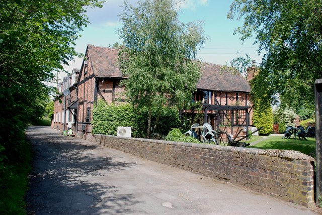
Shareshill is a small village located in the county of Staffordshire, England. It is situated approximately 9 miles north of the city of Wolverhampton and 14 miles west of the city of Stafford. The village is part of the South Staffordshire district and falls within the Wolverhampton postal area.

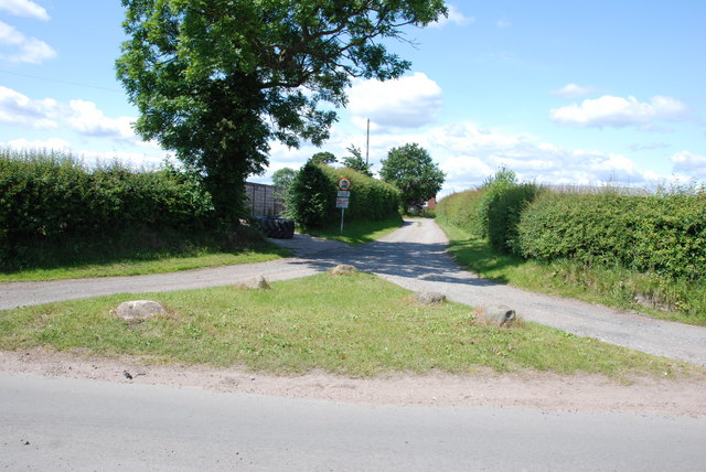
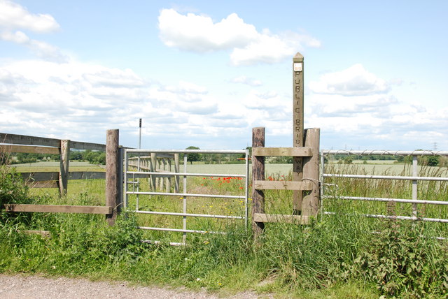
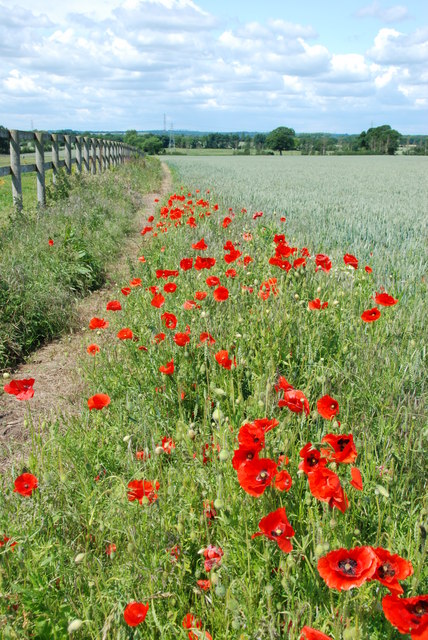
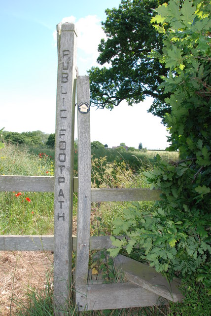
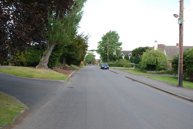
With a population of around 1,500 residents, Shareshill is a close-knit community that offers a peaceful and rural environment. The village is surrounded by picturesque countryside, providing residents with opportunities for outdoor activities such as walking, cycling, and horse riding.

Shareshill is well-connected to major road networks, as it lies close to the M6 and M54 motorways, making it a convenient location for commuters. The village also benefits from regular bus services, connecting it to nearby towns and cities.

Facilities in Shareshill include a primary school, a village hall, a post office, and several local shops, providing essential amenities for residents. Additionally, the village is home to a historic church, St. Mary's, which dates back to the 13th century and serves as a focal point for the community.

The surrounding area offers a range of attractions and amenities, including Cannock Chase, an Area of Outstanding Natural Beauty, which is just a short drive away. Here, visitors can enjoy walking trails, wildlife spotting, and cycling routes.

Overall, Shareshill offers a charming countryside escape with its tranquil setting, while still providing easy access to nearby towns and cities.

If you have any feedback on the listing, please let us know in the comments section below.
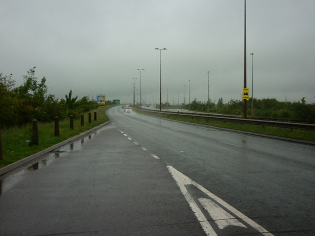
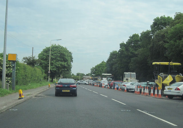
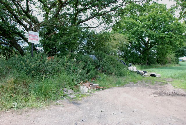
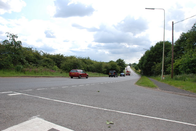
Shareshill Images

Images are sourced within 2km of 52.656199/-2.082075 or Grid Reference SJ9406. Thanks to Geograph Open Source API. All images are credited.

M6 southbound seen from M6 toll road
The A460 towards the M6 Toll Road
A460 from Old Cannock Road Junction Near Sharehill. The area to the right of the road is the site of a large boot sale
A460 from Old Cannock Road Junction
Near Sharehill. The area to the right of the road is the site of a large boot sale
Saredon Hall Farm It looks as if there are several Barn conversions here now.
Saredon Hall Farm
It looks as if there are several Barn conversions here now.
M6 and M6 Toll road junction M6 north bound on the left, M6 south bound on the right, M6 Toll road in the middle, where are all the vehicles that are supposed to use it.
M6 and M6 Toll road junction
M6 north bound on the left, M6 south bound on the right, M6 Toll road in the middle, where are all the vehicles that are supposed to use it.
Heading towards Little Saredon
Houses, Little Saredon
Didn't read the sign
A460 Towards Shareshill
Entrance to Lower Latherford Farm
Public Bridleway, Featherstone Lane
Bridleway from Featherstone Lane
Footpath from Featherstone Lane
Entrance to Featherstone Lane
Featherstone Farm Hotel, Featherstone
Baneberry Drive, Featherstone
Church Road, Shareshill
Shareshill Post Office and Stores, Shareshill
Show me another place!

Shareshill is located at Grid Ref: SJ9406 (Lat: 52.656199, Lng: -2.082075)

Administrative County: Staffordshire

District: South Staffordshire

Police Authority: Staffordshire

What 3 Words

///chains.greed.jobs. Near Featherstone, Staffordshire

Nearby Locations

Shareshill Shareshill

Related Wikis

Shareshill

Shareshill is a village and civil parish in the South Staffordshire district, in the county of Staffordshire, England. The population as measured in the...

Saredon

Saredon is a civil parish in South Staffordshire district, Staffordshire, England, situated to the north east of Wolverhampton, West Midlands, and to the...
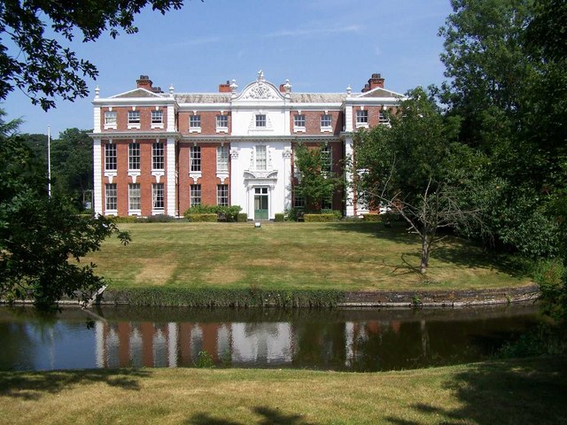
Hilton Hall

Hilton Hall is an 18th-century mansion house now in use as an Office and Business Centre at Hilton, near Wolverhampton, in Staffordshire. It is a Grade...

Featherstone, Staffordshire

Featherstone is a town in the district of South Staffordshire, England, near to the border with Wolverhampton. == History == Originally a farming community...

Brinsford Lodge

Brinsford Lodge was a hall of residence for The Polytechnic, Wolverhampton (now the University of Wolverhampton) from the mid-1960s to the early 1980s...

HM Prison Featherstone

HM Prison Featherstone is a Category C men's prison, located in the village of Featherstone (near Wolverhampton), in Staffordshire, England. The prison...

HM Prison Brinsford

HMP & YOI Prison Brinsford is an adult male Category B & C prison and Young Offenders Institution (YOI), located in the village of Featherstone (near Wolverhampton...

Hilton Park services

Hilton Park services is a motorway service station, between junctions 10a and 11 of the M6 motorway in Staffordshire, England. The nearest city is Wolverhampton...

Nearby Amenities

Located within 500m of 52.656199,-2.082075
Shareshill
Created By: Potlatch 0.10b
Is In: Staffordshire
Place: village
Lat/Long: 52.6555106/-2.0828849
Bus Stop
Church Road
Bus: yes
Naptan AtcoCode: 3800C608600
Naptan Bearing: NE
Naptan CommonName: Church Road
Naptan Indicator: Adj
Naptan Landmark: Church Road
Naptan Street: Cannock Road
Naptan Verified: no
Public Transport: platform
Source: naptan_import
Lat/Long: 52.6528078/-2.0791012
Bus Stop
Church Road
Bus: yes
Naptan AtcoCode: 3800C608601
Naptan Bearing: SW
Naptan CommonName: Church Road
Naptan Indicator: Opp
Naptan Landmark: Church Rd
Naptan Street: Cannock Road
Naptan Verified: no
Public Transport: platform
Source: naptan_import
Lat/Long: 52.6529611/-2.0784954
Bus Stop
Swan Lane
Bus: yes
Naptan AtcoCode: 3800C608700
Naptan Bearing: NW
Naptan BusStopType: CUS
Naptan CommonName: Swan Lane
Naptan Indicator: Adj
Naptan Landmark: Swan Lane
Naptan Street: Elms Lane
Naptan Verified: no
Public Transport: platform
Source: naptan_import
Lat/Long: 52.6551961/-2.0835405
Pub
The Elms
Lat/Long: 52.6547941/-2.0809709
Post Office
Shareshill Post Office
Addr City: Wolverhampton
Addr Housenumber: 64
Addr Postcode: WV10 7LD
Addr Street: Church Road
Addr Village: Shareshill
Brand: Post Office
Brand Wikidata: Q1783168
Opening Hours: Mo-Fr 09:00-13:00,14:00-17:30; Sa 09:00-12:30
Ref Pol Id: 7804
Source: OS OpenData StreetView
Website: https://www.postoffice.co.uk/branch-finder/2142465/shareshill
Lat/Long: 52.6561101/-2.0812905
Speed Camera
Lat/Long: 52.6536938/-2.0771541
Fuel
M6 Diesel
Alt Name: Saredon Filling Station
Fuel 1 25: no
Fuel 1 50: no
Fuel Cng: no
Fuel Diesel: yes
Fuel E10: no
Fuel E85: no
Fuel Lpg: no
Fuel Octane 100: no
Fuel Octane 91: no
Fuel Octane 95: no
Fuel Octane 98: no
Note: Sign states that it sells diesel only. For lorries only?
Source: survey
Lat/Long: 52.6532783/-2.0773519
Generator Method: photovoltaic
Generator Output Electricity: yes
Generator Source: solar
Generator Type: solar_photovoltaic_panel
Location: roof
Power: generator
Lat/Long: 52.655037/-2.0853424
Generator Method: photovoltaic
Generator Output Electricity: yes
Generator Source: solar
Generator Type: solar_photovoltaic_panel
Location: roof
Power: generator
Lat/Long: 52.6550435/-2.0852137
Generator Method: photovoltaic
Generator Output Electricity: yes
Generator Source: solar
Generator Type: solar_photovoltaic_panel
Location: roof
Power: generator
Lat/Long: 52.6574336/-2.0829231
The data included in this document is from www.openstreetmap.org. The data is made available under ODbL.

Have you been to Shareshill?

Leave your review of Shareshill below (or comments, questions and feedback).