Blaen-waun

Settlement in Cardiganshire

Wales

Blaen-waun

Farmland with a wind turbine South of Synod Inn
Farmland with a wind turbine Credit: Eirian Evans

The requested URL returned error: 429 Too Many Requests

If you have any feedback on the listing, please let us know in the comments section below.
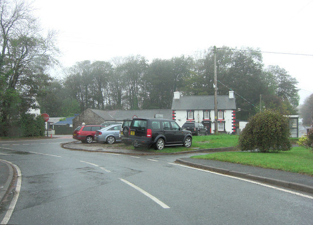
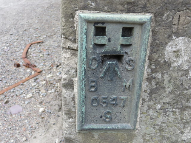
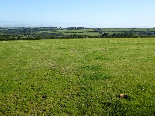
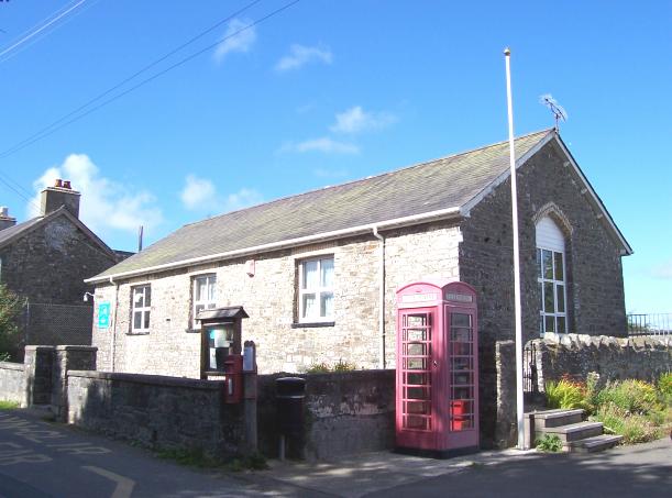
Blaen-waun Images

Images are sourced within 2km of 52.151746/-4.354686 or Grid Reference SN3953. Thanks to Geograph Open Source API. All images are credited.

Farmland with a wind turbine South of Synod Inn
Farmland with a wind turbine
South of Synod Inn
A487 at Synod Inn
A487 at Synod Inn
B4338 ends at Synod Inn junction Two mains roads, the A486 and A487 cross beside this pub and the spot also marks the termination of the B4338.
B4338 ends at Synod Inn junction
Two mains roads, the A486 and A487 cross beside this pub and the spot also marks the termination of the B4338.
Bro Siôn Cwilt Community Primary School, Synod Inn.
Bro Siôn Cwilt
Community Primary School, Synod Inn.
Synod Inn Crossroads
Ordnance Survey Flush Bracket S0547 This can be found on the wall of Synod Inn.
For more detail see : <span class="nowrap"><a title="http://www.bench-marks.org.uk/bm221" rel="nofollow ugc noopener" href="http://www.bench-marks.org.uk/bm221">Link</a><img style="margin-left:2px;" alt="External link" title="External link - shift click to open in new window" src="https://s1.geograph.org.uk/img/external.png" width="10" height="10"/></span>
Ordnance Survey Flush Bracket S0547
This can be found on the wall of Synod Inn. For more detail see : LinkExternal link
A487 approaching Synod Inn junction
Garage at Synod Inn on A486
Ordnance Survey Flush Bracket (S0547) This OS Flush Bracket can be found on the corner of the old stables at the Synod Inn. It marks a point 227.341m above mean sea level.
Ordnance Survey Flush Bracket (S0547)
This OS Flush Bracket can be found on the corner of the old stables at the Synod Inn. It marks a point 227.341m above mean sea level.
Old Milepost by the A486, south of Synod Inn, Llanarth Parish Newquay flat top casting by the A486, in parish of Llanarth (Ceredigion District), South of Synod Inn, 1km South on 300m South of drive to Pantsod.

Inscription reads:-
: NEW QUAY / 5 / MILES : : LLANDYSSUL / 10 MILES :

Grade II listed by Cadw. Reference Number: 17739
<span class="nowrap"><a title="https://cadwpublic-api.azurewebsites.net/reports/listedbuilding/FullReport?lang=&id=17739" rel="nofollow ugc noopener" href="https://cadwpublic-api.azurewebsites.net/reports/listedbuilding/FullReport?lang=&id=17739">Link</a><img style="margin-left:2px;" alt="External link" title="External link - shift click to open in new window" src="https://s1.geograph.org.uk/img/external.png" width="10" height="10"/></span>

Surveyed

Milestone Society National ID: CRD_NQLD05.
Old Milepost by the A486, south of Synod Inn, Llanarth Parish
Newquay flat top casting by the A486, in parish of Llanarth (Ceredigion District), South of Synod Inn, 1km South on 300m South of drive to Pantsod. Inscription reads:- : NEW QUAY / 5 / MILES : : LLANDYSSUL / 10 MILES : Grade II listed by Cadw. Reference Number: 17739 LinkExternal link Surveyed Milestone Society National ID: CRD_NQLD05.
Work Underway at The Synod Inn
The A486 south of Synod Inn This road has undergone improvements in recent years.
The A486 south of Synod Inn
This road has undergone improvements in recent years.
Wind turbine Wind turbine near Synod Inn.
Wind turbine
Wind turbine near Synod Inn.
Synod Inn/Post-Mawr Road junction at Synod Inn/Post-Mawr, the Inn, the white building in the background has closed, here's a picture of it in happier times <a href="https://www.geograph.org.uk/photo/2037353">SN4054 : Synod Inn</a>.
Synod Inn/Post-Mawr
Road junction at Synod Inn/Post-Mawr, the Inn, the white building in the background has closed, here's a picture of it in happier times SN4054 : Synod Inn.
Farmland near Lluestfach View north towards Synod Inn across farmland near Lluestfach.  The A486 can be seen in the middle distance.
Farmland near Lluestfach
View north towards Synod Inn across farmland near Lluestfach. The A486 can be seen in the middle distance.
Houses at Brynglowon The houses are on a minor road just off the A486.
Houses at Brynglowon
The houses are on a minor road just off the A486.
Fields near A486 and minor road to Pisgah The wooden fence running across the picture borders the A486; the hillside road in the background goes to Pisgah.
Fields near A486 and minor road to Pisgah
The wooden fence running across the picture borders the A486; the hillside road in the background goes to Pisgah.
View to the coast from Plwmp
Show me another place!

Blaen-waun is located at Grid Ref: SN3953 (Lat: 52.151746, Lng: -4.354686)

Unitary Authority: Ceredigion

Police Authority: Dyfed Powys

What 3 Words

///tiles.shopping.baseless. Near Llanllwchaiarn, Ceredigion

Nearby Locations

Blaen-waun

Related Wikis

Hafodiwan

Hafodiwan is a hamlet in the community of Llandysiliogogo, Ceredigion, Wales, which is 69.6 miles (112 km) from Cardiff and 186.6 miles (300.2 km) from...

Rhyd-y-Beillen

Rhyd-y-Beillen is a hamlet in the community of Llanarth, Ceredigion, Wales, which is 68.5 miles (110.2 km) from Cardiff and 185.1 miles (297.9 km) from...

Blaenbedw Fawr

Blaenbedw Fawr is a small village in the community of Llandysiliogogo, Ceredigion, Wales, which is 68.9 miles (110.8 km) from Cardiff and 187 miles (300...

Caerwedros

Caerwedros (pronounced [kaɨrˈwɛdrɔs] ) is a small village in western Ceredigion, Wales, in the community of Llandysiliogogo. Caerwedros village has a Memorial...

Nearby Amenities

Located within 500m of 52.151746,-4.354686
Post Box
Post Box Type: lamp
Royal Cypher: EIIR
Royal Cypher Wikidata: Q33102113
Lat/Long: 52.1558436/-4.3517213
Direction: SE
Generator Method: photovoltaic
Generator Output Electricity: yes
Generator Solar Modules: 16
Generator Source: solar
Generator Type: solar_photovoltaic_panel
Location: roof
Power: generator
Lat/Long: 52.1550581/-4.3524414
The data included in this document is from www.openstreetmap.org. The data is made available under ODbL.

Have you been to Blaen-waun?

Leave your review of Blaen-waun below (or comments, questions and feedback).