Shannochie
Settlement in Buteshire
Scotland
Shannochie

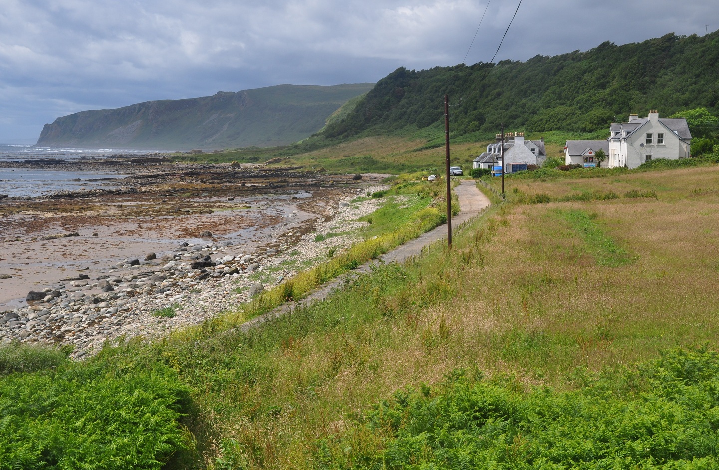
Shannochie is a small village located on the Isle of Arran in Buteshire, Scotland. It is nestled in the southern part of the island, surrounded by picturesque landscapes and stunning views of the Firth of Clyde. With a population of around 250 residents, Shannochie is a close-knit community known for its peaceful and tranquil atmosphere.
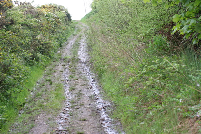
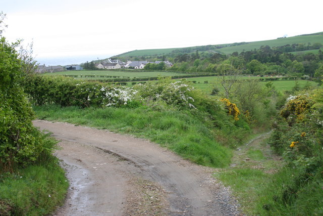
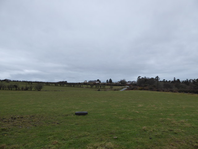
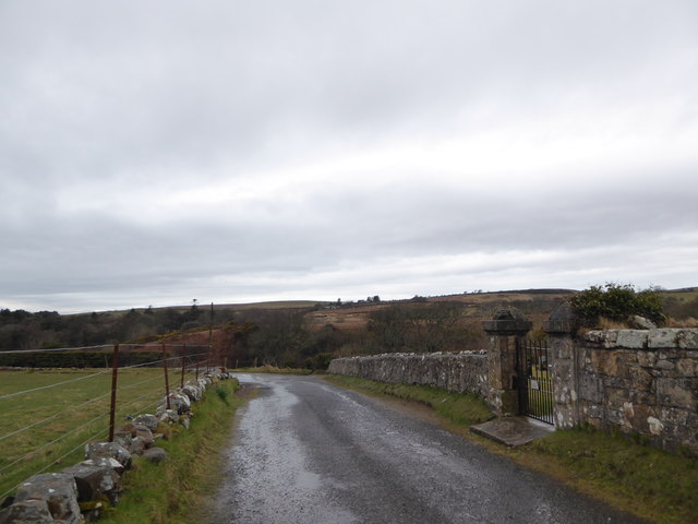
The village is primarily residential, consisting of a cluster of traditional stone houses and cottages. Its charming architecture adds to the village's character and provides a glimpse into its rich history. Shannochie is surrounded by lush green countryside, offering beautiful walking trails and opportunities for outdoor activities.
Despite its small size, Shannochie has a few amenities to cater to its residents. There is a local pub where people can gather and socialize, and a small convenience store for daily necessities. For more extensive shopping and services, residents can easily access nearby villages and towns on the island.
One of the highlights of Shannochie is its proximity to the stunning coastline. The village is just a short distance away from sandy beaches, rocky cliffs, and beautiful coastal walks. This makes it an attractive destination for nature lovers and outdoor enthusiasts who can enjoy activities such as beachcombing, birdwatching, and scenic hikes.
In summary, Shannochie is a charming and peaceful village situated on the Isle of Arran. Its tranquil atmosphere, beautiful surroundings, and close community make it an ideal place for those seeking a slower pace of life and a connection with nature.
If you have any feedback on the listing, please let us know in the comments section below.
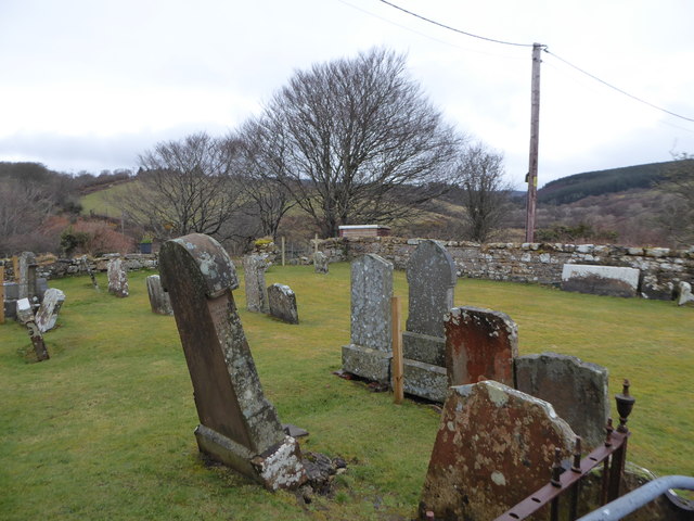
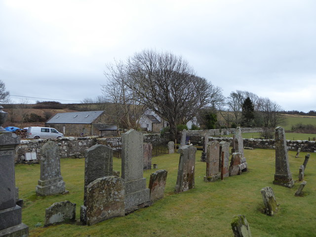
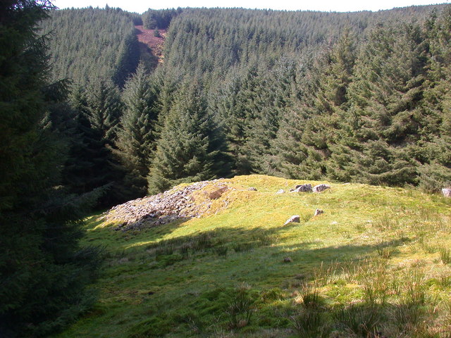
Shannochie Images
Images are sourced within 2km of 55.444349/-5.1968341 or Grid Reference NR9721. Thanks to Geograph Open Source API. All images are credited.


Shannochie is located at Grid Ref: NR9721 (Lat: 55.444349, Lng: -5.1968341)
Unitary Authority: North Ayrshire
Police Authority: Ayrshire
What 3 Words
///troubles.hero.array. Near Kildonan, North Ayrshire
Nearby Locations
Related Wikis

Kilmory, Arran
Kilmory (Scottish Gaelic: Cill Mhoire) is a small village on the south coast of the Isle of Arran, located on the coastal road between Lagg and Kildonan...

Lagg, Arran
Lagg (Scottish Gaelic: An Lag) is a hamlet on southern coast of the Isle of Arran in Scotland made up of a few houses and a hotel. The hamlet is within...

Torrylin Cairn
Torrylin Cairn is the remains of a Neolithic chambered tomb. It is located near Kilmory on the Isle of Arran in Scotland (grid reference NR95532108)....

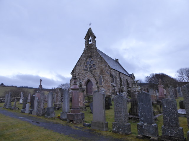
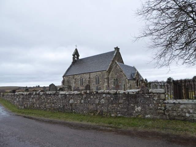
Bennecarrigan Free Church
The Bennecarrigan Free Church is a place of worship of the Free Church of Scotland in Kilmory, on the island of Arran, Scotland. The church was built...
Carn Ban, Arran
Carn Ban is a Neolithic chambered tomb located on the Isle of Arran in Scotland (grid reference NR99102618). == Description == Carn Ban is situated in...

Sliddery
Sliddery (Gaelic: Slaodraidh) is a tiny hamlet located on the Southwest coast of the Isle of Arran in Scotland. The village is situated near the Ross road...

Pladda
Pladda (Scottish Gaelic: Pladaigh) is an uninhabited island 1 km (0.62 mi) off the south coast of the Isle of Arran in the Firth of Clyde at grid reference...
Kildonan, Arran
Kildonan (Scottish Gaelic: Cill Donnain) is a village on the south coast of the Isle of Arran in the Firth of Clyde, Scotland. The village is within the...
Nearby Amenities
Located within 500m of 55.444349,-5.1968341Have you been to Shannochie?
Leave your review of Shannochie below (or comments, questions and feedback).