Shakeford
Settlement in Shropshire
England
Shakeford

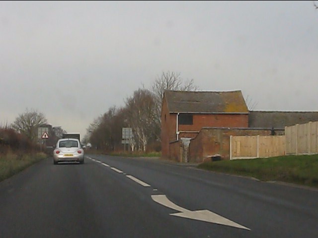
Shakeford is a small village located in the county of Shropshire, England. Situated on the banks of the River Severn, it is nestled amidst the picturesque countryside, offering scenic views and a tranquil atmosphere. The village is approximately 5 miles north of the town of Bridgnorth and 10 miles south of the city of Wolverhampton.
Shakeford has a rich history that dates back centuries. It was originally known as "Shakeford Bridge" due to the presence of a historic stone bridge that spans the river. The bridge, which was constructed in the 18th century, continues to be a prominent landmark and a popular spot for locals and visitors to enjoy the stunning surroundings.
The village is primarily residential, with a small population of approximately 500 residents. The community is close-knit and friendly, offering a welcoming atmosphere to newcomers. Shakeford is known for its charming cottages, many of which have retained their original architecture and character.
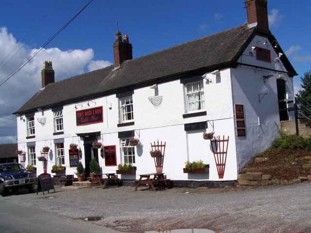
Despite its small size, Shakeford boasts a few amenities for its residents. There is a local pub, The Shakeford Inn, which serves as a gathering place for locals and visitors alike. Additionally, there is a village hall that hosts various community events and activities throughout the year.
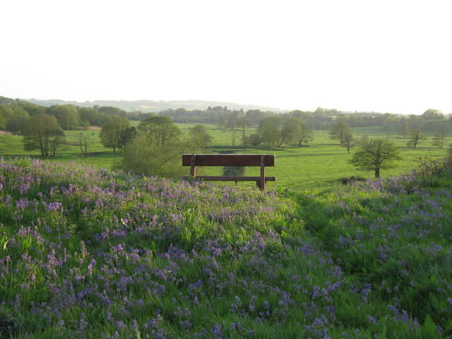
The surrounding area provides ample opportunities for outdoor enthusiasts. The River Severn offers fishing and boating opportunities, while the nearby countryside provides scenic walks and cycling routes. Shakeford is also within close proximity to the Shropshire Hills Area of Outstanding Natural Beauty, allowing residents and visitors to explore the stunning landscapes of the region.
Overall, Shakeford, Shropshire is a charming village that offers a peaceful and idyllic setting for its residents. With its rich history, friendly community, and beautiful surroundings, it is truly a hidden gem in the heart of England.
If you have any feedback on the listing, please let us know in the comments section below.
Shakeford Images
Images are sourced within 2km of 52.852472/-2.478143 or Grid Reference SJ6728. Thanks to Geograph Open Source API. All images are credited.


Shakeford is located at Grid Ref: SJ6728 (Lat: 52.852472, Lng: -2.478143)
Unitary Authority: Shropshire
Police Authority: West Mercia
What 3 Words
///butterfly.tower.kingdom. Near Stoke upon Tern, Shropshire
Nearby Locations
Related Wikis

Quarry Wood, Hinstock
Quarry Wood nature reserve is a 7-acre (28,000 m2) woodland on the west side of the A41 road at Hinstock in Shropshire that is managed by the Shropshire...
Wistanswick
Wistanswick ( WISS-tənz-wik) is a small village, located in the parish of Stoke upon Tern in Shropshire, England. It is located in a rural area approximately...

Hinstock
Hinstock is a village and civil parish in Shropshire, England. It appeared in the Domesday book survey as "Stoche" (from Old English stoc, "dependent settlement...

RNAS Hinstock (HMS Godwit)
Royal Naval Air Station Hinstock (RNAS Hinstock, also known as HMS Godwit) is a former Royal Navy, Fleet Air Arm station, located 4 miles (6 km) South...

Goldstone, Shropshire
Goldstone is a small hamlet in eastern Shropshire, England, in the civil parish of Cheswardine. It lies in an isolated rural area north of Hinstock and...

Ashfields
Ashfields is a village in Shropshire, England.
Tyrley Canal Cutting
Tyrley Canal Cutting is a Site of Special Scientific Interest located on the Shropshire Union Canal approximately 2.5 miles south of Market Drayton, to...
Sutton upon Tern
Sutton upon Tern is a civil parish in Shropshire, England. Expanded in 1914 after the abolition of the parish of Drayton in Hales, Its name in Old English...
Nearby Amenities
Located within 500m of 52.852472,-2.478143Have you been to Shakeford?
Leave your review of Shakeford below (or comments, questions and feedback).