Shadwell
Settlement in Gloucestershire Stroud
England
Shadwell
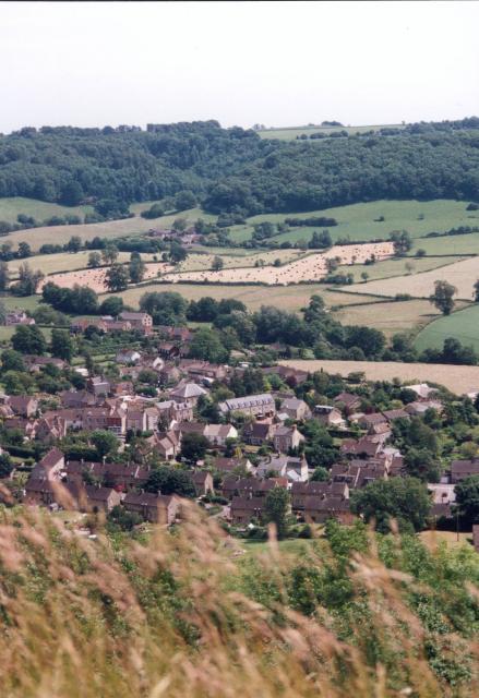
Shadwell is a small village located in the county of Gloucestershire, in the southwest region of England. Situated in the Cotswold district, Shadwell is nestled amidst picturesque countryside, characterized by rolling hills, lush green fields, and charming stone-built houses.
With a population of around 500 residents, Shadwell exudes a tight-knit and friendly community atmosphere. The village is renowned for its peaceful ambiance, making it an ideal escape from the hustle and bustle of nearby cities. The local economy primarily revolves around agriculture, with many residents involved in farming and livestock rearing.
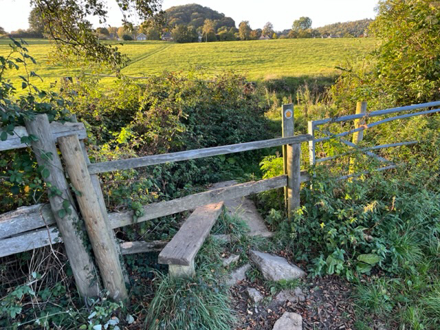
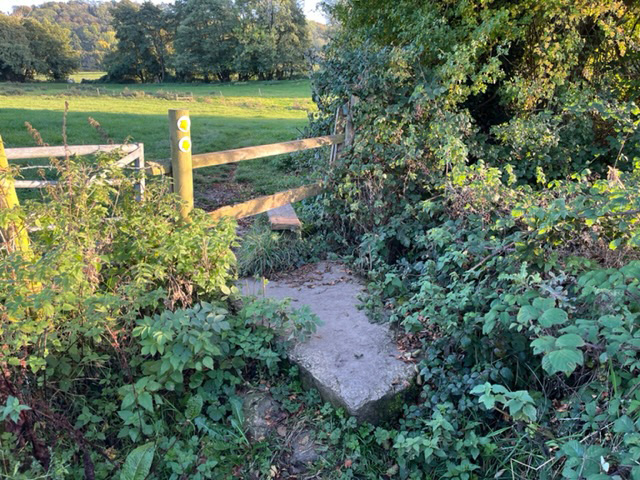
One of the notable features of Shadwell is its stunning natural beauty. The village is surrounded by an abundance of walking trails and scenic landscapes, making it a haven for nature enthusiasts and hikers. The nearby Cotswold Way, a long-distance trail, offers breathtaking views of the countryside and is a popular attraction for visitors.
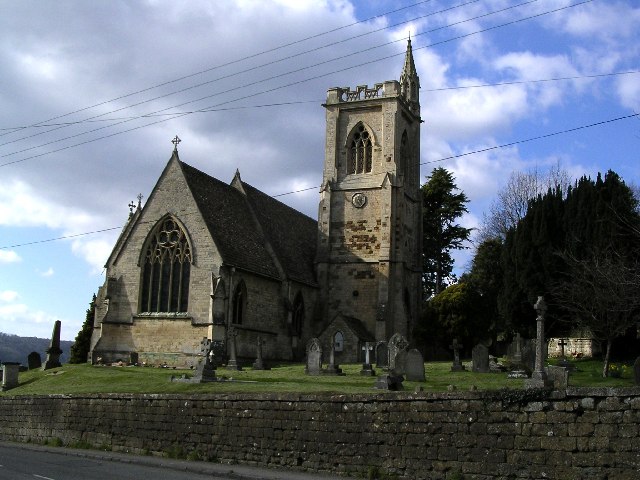
Shadwell boasts a handful of amenities to cater to its residents' needs. These include a village hall, a primary school, a church, and a pub, which acts as a social hub for the community. The village also hosts various events and gatherings throughout the year, fostering a strong sense of community spirit.
While Shadwell may be small in size, it compensates for it with its idyllic charm and natural beauty. It serves as a tranquil retreat for those seeking a peaceful countryside lifestyle, while still being within easy reach of larger towns and cities in Gloucestershire.
If you have any feedback on the listing, please let us know in the comments section below.
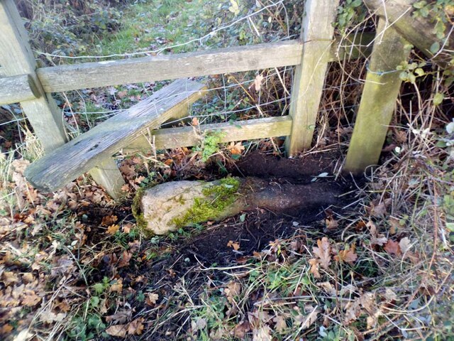
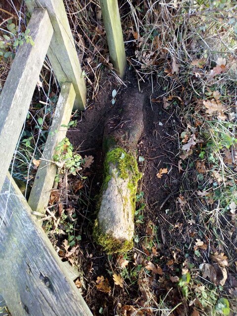
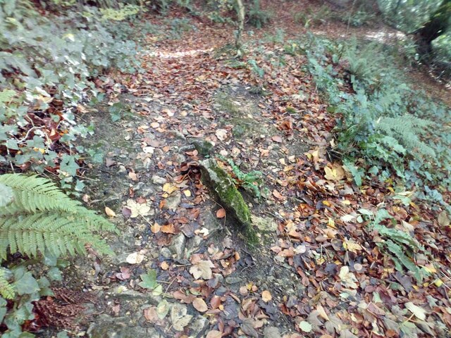
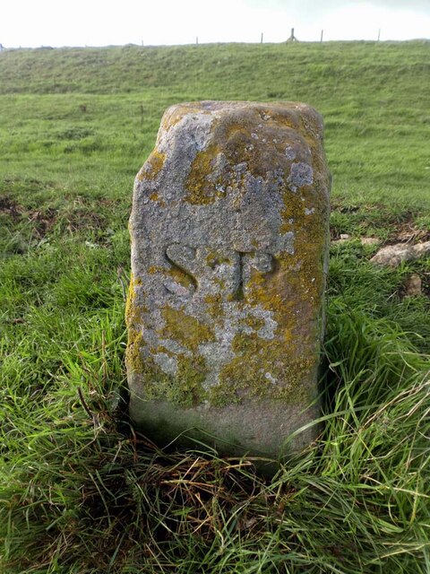
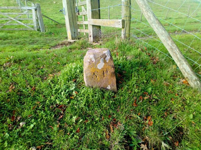
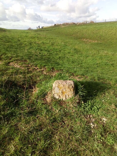
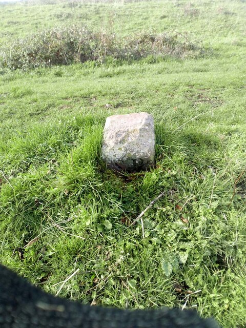
Shadwell Images
Images are sourced within 2km of 51.676159/-2.315246 or Grid Reference ST7897. Thanks to Geograph Open Source API. All images are credited.


Shadwell is located at Grid Ref: ST7897 (Lat: 51.676159, Lng: -2.315246)
Administrative County: Gloucestershire
District: Stroud
Police Authority: Gloucestershire
What 3 Words
///cherished.betrayal.basin. Near Dursley, Gloucestershire
Nearby Locations
Related Wikis

Stouts Hill
Stouts Hill is an 18th-Century Gothic revival country house situated in the Cotswolds, just outside the village of Uley. Although there are records of...

Bencombe
Bencombe is a hamlet made up of 9 mainly traditional stone cottages/houses in the parish of Uley and just south west of Owlpen on the edge of the Cotswolds...
Uley
Uley is a village and civil parish in the county of Gloucestershire, England. The parish includes the hamlets of Elcombe and Shadwell and Bencombe, all...

Uley Bury
Uley Bury is the long, flat-topped hill just outside Uley, Gloucestershire, England. It is an impressive multi-vallate, scarp-edge Iron Age hill fort dating...

Owlpen
Owlpen is a small village and civil parish in the Stroud district of Gloucestershire, England, set in a valley in the Cotswold hills. It is about one mile...
Owlpen Manor
Owlpen Manor is a Tudor Grade I listed manor house of the Mander family, situated in the village of Owlpen in the Stroud district in Gloucestershire, England...
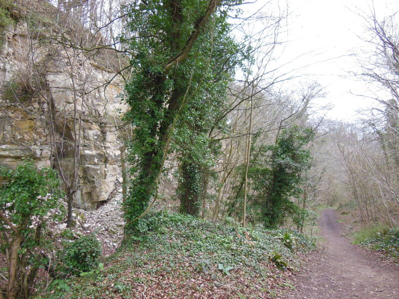
Coaley Wood Quarries
Coaley Wood Quarries (grid reference ST786996) is a 4.85-hectare (12.0-acre) geological Site of Special Scientific Interest in Gloucestershire, notified...

Woodmancote, Dursley
Woodmancote is a small village near Dursley in Gloucestershire, England.
Nearby Amenities
Located within 500m of 51.676159,-2.315246Have you been to Shadwell?
Leave your review of Shadwell below (or comments, questions and feedback).