Adlington

Settlement in Cheshire

England

Adlington

Pond Top o' th' Hill
Pond Credit: Anthony O'Neil

Adlington is a small village located in the county of Cheshire, England. Situated in the beautiful Cheshire countryside, Adlington offers a picturesque setting with its rolling hills, lush fields, and charming rural atmosphere. The village is located approximately 10 miles east of the historic city of Chester and about 5 miles south of the town of Frodsham.

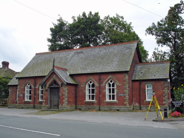
Adlington is a close-knit community with a population of around 1,000 residents. The village is known for its friendly and welcoming atmosphere, making it an ideal place for families and individuals seeking a peaceful and tranquil environment. Despite its small size, Adlington boasts a range of amenities including a local pub, village hall, and primary school, ensuring that residents have access to essential services within the village itself.

The surrounding countryside offers plenty of opportunities for outdoor activities such as hiking, cycling, and horse riding. Adlington is also conveniently located near the Delamere Forest Park, one of the largest woodlands in England, providing further opportunities for nature exploration and outdoor pursuits.

For those seeking a taste of history, the nearby city of Chester offers a wealth of cultural and historical attractions, including the iconic Chester Cathedral, the Roman Walls, and the Rows, a unique shopping experience with medieval-style buildings.

Overall, Adlington offers a peaceful and idyllic setting, perfect for those who appreciate the beauty of the Cheshire countryside while still being within easy reach of larger towns and cities.

If you have any feedback on the listing, please let us know in the comments section below.
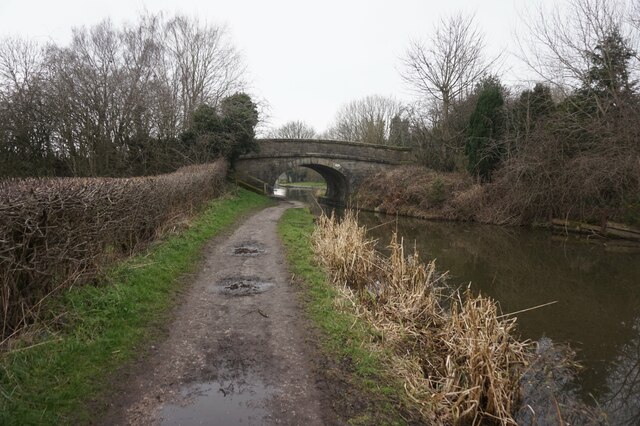
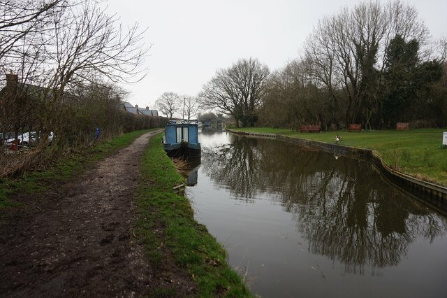
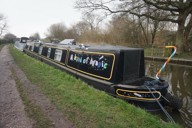
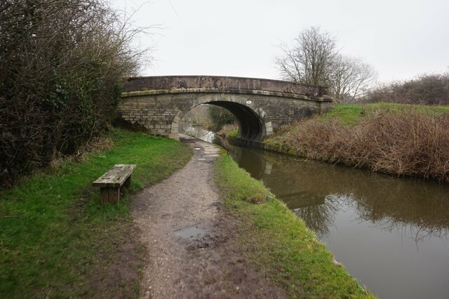
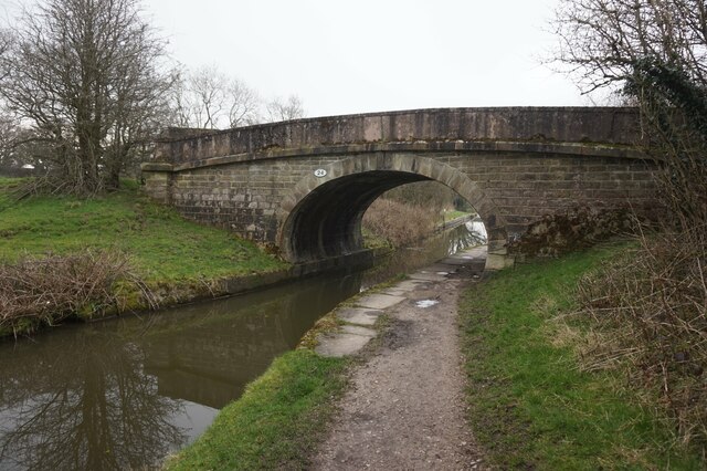
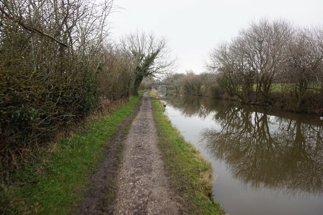
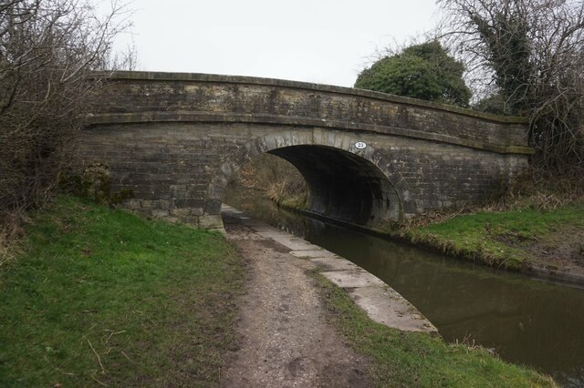
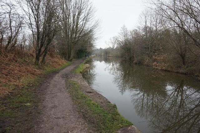
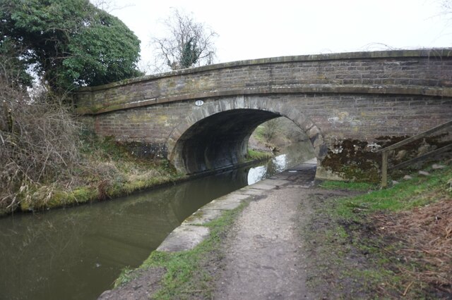
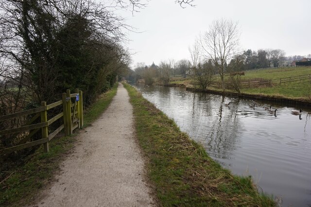
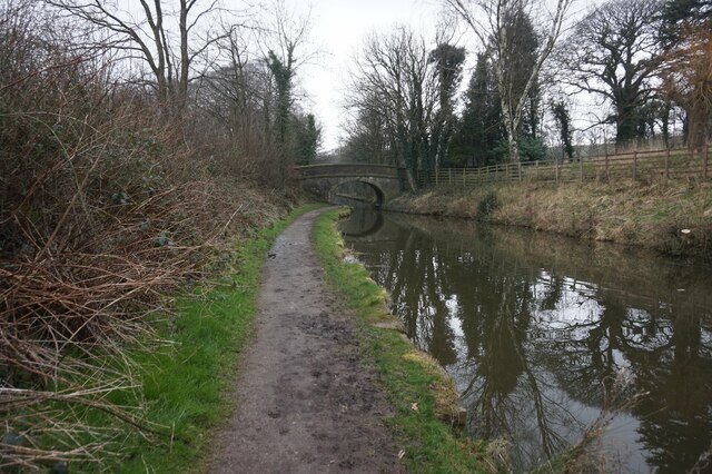
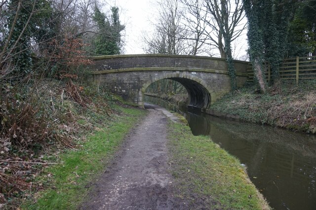
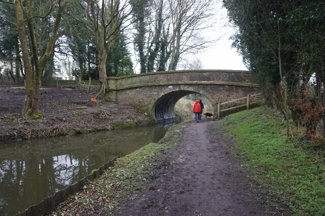
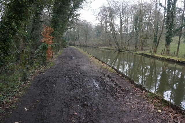
Adlington Images

Images are sourced within 2km of 53.320759/-2.129297 or Grid Reference SJ9180. Thanks to Geograph Open Source API. All images are credited.

Pond Top o' th' Hill
Pond
Top o' th' Hill
Stand of trees Top o' th' Hill
Stand of trees
Top o' th' Hill
Foxtwist moated site Full details of this from the Historic England website at; <span class="nowrap"><a title="https://historicengland.org.uk/listing/the-list/list-entry/1011864" rel="nofollow ugc noopener" href="https://historicengland.org.uk/listing/the-list/list-entry/1011864">Link</a><img style="margin-left:2px;" alt="External link" title="External link - shift click to open in new window" src="https://s1.geograph.org.uk/img/external.png" width="10" height="10"/></span>

" Foxtwist moated site survives in good condition and possesses a range of component parts. The site is a rare example in Cheshire of a small homestead moat that is double moated on three sides, and the unusual form exhibited by this site illustrates well the diversity of this class of monument.

The monument at Foxtwist comprises a small homestead moated site, additionally enclosed on three sides by an outer moat, and also adjacent fishponds and connecting channels. The monument includes a raised grass covered island c.31m x 18m possessing faint traces of the foundations of a cottage and the remains of a small orchard. Surrounding the island is an inner moat c.6m wide x 2m deep, waterlogged on the W side where it has formed a pond. Access to the island is from the SW via a well made causeway 3m wide with flanking ditches. A dry outer moat extends around the NW, N and E sides and was fed by a waterlogged pond on higher ground some 90m to the E linked by a channel now much reduced by ploughing. A dry channel, now utilised as a modern field boundary, runs NE-SW adjacent to the E side of the inner moat. Close to the SE corner of the inner moat this channel broadens and deepens and continues S for some 85m before turning W to link with a dry rectangular fishpond c.47m x 12m x 1m deep. William de Foxwist lived in the manor house at the site in the early 13th century. This was dismantled in 1357 and re-erected in Macclesfield where it served as the Market Hall. A new structure was erected on the moated site and this passed by marriage to the Duncalf family, eventually being sold to the Leghs of Adlington in 1609 who have owned the site ever since. By the end of the 17th century a small cottage had been built on the site. This building was demolished c.1920."
Foxtwist moated site
Full details of this from the Historic England website at; LinkExternal link " Foxtwist moated site survives in good condition and possesses a range of component parts. The site is a rare example in Cheshire of a small homestead moat that is double moated on three sides, and the unusual form exhibited by this site illustrates well the diversity of this class of monument. The monument at Foxtwist comprises a small homestead moated site, additionally enclosed on three sides by an outer moat, and also adjacent fishponds and connecting channels. The monument includes a raised grass covered island c.31m x 18m possessing faint traces of the foundations of a cottage and the remains of a small orchard. Surrounding the island is an inner moat c.6m wide x 2m deep, waterlogged on the W side where it has formed a pond. Access to the island is from the SW via a well made causeway 3m wide with flanking ditches. A dry outer moat extends around the NW, N and E sides and was fed by a waterlogged pond on higher ground some 90m to the E linked by a channel now much reduced by ploughing. A dry channel, now utilised as a modern field boundary, runs NE-SW adjacent to the E side of the inner moat. Close to the SE corner of the inner moat this channel broadens and deepens and continues S for some 85m before turning W to link with a dry rectangular fishpond c.47m x 12m x 1m deep. William de Foxwist lived in the manor house at the site in the early 13th century. This was dismantled in 1357 and re-erected in Macclesfield where it served as the Market Hall. A new structure was erected on the moated site and this passed by marriage to the Duncalf family, eventually being sold to the Leghs of Adlington in 1609 who have owned the site ever since. By the end of the 17th century a small cottage had been built on the site. This building was demolished c.1920."
Moat Antique and very dry. Two ditches exist the inner and deeper is at least 4 or 5 feet deep in parts with a squarish inner raised part which could have had fortification (I assume). I don't know if any archaeology has been practised here but it is an intriguing relic of indeterminate age and purpose.
Moat
Antique and very dry. Two ditches exist the inner and deeper is at least 4 or 5 feet deep in parts with a squarish inner raised part which could have had fortification (I assume). I don't know if any archaeology has been practised here but it is an intriguing relic of indeterminate age and purpose.
Macclesfield Canal at bridge #25
Macclesfield Canal towards bridge #24
Canal boat A Kind of Magic, Macclesfield Canal
Macclesfield Canal at bridge #24
Macclesfield Canal towards bridge #23
Macclesfield Canal towards bridge #22
Macclesfield Canal at bridge #23
Macclesfield Canal towards bridge #22
Macclesfield Canal at bridge #22
Macclesfield Canal towards bridge #21
Show me another place!

Adlington is located at Grid Ref: SJ9180 (Lat: 53.320759, Lng: -2.129297)

Unitary Authority: Cheshire East

Police Authority: Cheshire

What 3 Words

///remarried.engage.soaps. Near Adlington, Cheshire

Related Wikis

Adlington, Cheshire

Adlington is a village and civil parish in the unitary authority of Cheshire East and the ceremonial county of Cheshire, England. It is known as Eduluintune...

Adlington railway station (Cheshire)

Adlington (Cheshire) railway station serves the village of Adlington in Cheshire, England. It was staffed for many years but is now unstaffed. The station...

Macclesfield (UK Parliament constituency)

Macclesfield is a constituency in Cheshire currently represented in the House of Commons of the UK Parliament since 2010 by David Rutley, a Conservative...

Adlington Hall

Adlington Hall is a country house near Adlington, Cheshire. The oldest part of the existing building, the Great Hall, was constructed between 1480 and...

Macclesfield Rural District

Macclesfield Rural District was a rural district of Cheshire, England from 1894 to 1974. Macclesfield as a Municipal Borough and Bollington as an urban...

Mill House, Adlington

Mill House is a former country house in the parish of Adlington, Cheshire, England. It is dated 1603, and was built by Sir Uriah Legh, of the Legh family...

Bonis Hall

Bonis Hall is a former country house to the north of Prestbury, Cheshire, England. It was the seat of the Pigot family until 1746, when it was bought...

Avro Heritage Museum

Avro Heritage Museum is an aviation museum in Woodford, Greater Manchester, England, that opened on 13 November 2015. It is located at the former Woodford...

Nearby Amenities

Located within 500m of 53.320759,-2.129297
Parking
Lat/Long: 53.3219226/-2.1338325
Turning Circle
Lat/Long: 53.3180597/-2.131903
Turning Circle
Lat/Long: 53.3194823/-2.128552
Post Box
Postal Code: SK10
Ref: SK10 155
Lat/Long: 53.3207215/-2.1291371
Bus Stop
Adlington, Railway Station
Alt Name: Adlington, London Road / Railway Station
Bus: yes
Naptan AltCommonName: Adlington Railway Station
Naptan AltCommonName2: Adlington Train Station
Naptan AtcoCode: 0600MA0322
Naptan Bearing: S
Naptan CommonName: Railway Station
Naptan Indicator: o/s
Naptan Landmark: Station
Naptan LocalityName: Adlington
Naptan NaptanCode: cheawgw
Naptan ShortCommonName: Adlington Station
Naptan Street: London Road
Naptan Verified: no
Network: Cheshire East Council
Operator: Ansa Transport
Public Transport: platform
Source: naptan_import
Lat/Long: 53.3199453/-2.1349431
Bus Stop
Adlington, Railway Station
Alt Name: Adlington, London Road / Railway Station
Bus: yes
Naptan AltCommonName: Adlington Railway Station
Naptan AltCommonName2: Adlington Train Station
Naptan AtcoCode: 0600MA0323
Naptan Bearing: N
Naptan CommonName: Railway Station
Naptan Indicator: opp
Naptan Landmark: Station
Naptan LocalityName: Adlington
Naptan NaptanCode: cheawja
Naptan ShortCommonName: Adlington Station
Naptan Street: London Road
Naptan Verified: no
Network: Cheshire East Council
Operator: Ansa Transport
Public Transport: platform
Source: naptan_import
Lat/Long: 53.3199989/-2.1351834
Adlington
Place: village
Lat/Long: 53.3195057/-2.1309128
Restaurant
Legh Arms
Addr City: Macclesfield
Addr Postcode: SK10 4NA
Addr Street: London Road
Addr Village: Adlington
Brand: Toby Carvery
Brand Wikidata: Q7811777
Contact Website: https://www.tobycarvery.co.uk/restaurants/north-west/legharmsmacclesfield
Cuisine: british
Fhrs Id: 891547
Source Addr: FHRS Open Data
Lat/Long: 53.3209144/-2.1343503
Traffic Signals
Traffic Signals: signal
Lat/Long: 53.3206713/-2.1348657
Redbrook Farm
Place: farm
Lat/Long: 53.3218849/-2.1297727
Adlington (Cheshire)
Naptan AtcoCode: 9100ADLC
Network: National Rail
Network Website: https://www.nationalrail.co.uk/stations/adc/
Network Wikidata: Q26334
Operator: Northern Rail
Operator Website: https://www.northernrailway.co.uk/stations/adlington-cheshire
Operator Wikidata: Q85789775
Public Transport: station
Railway: station
Ref Crs: ADC
Train: yes
Wikidata: Q2780857
Wikipedia: en:Adlington railway station (Cheshire)
Lat/Long: 53.3197238/-2.1336443
Adlington (Cheshire)
Public Transport: stop_position
Railway: stop
Train: yes
Lat/Long: 53.3195148/-2.1336838
Adlington (Cheshire)
Public Transport: stop_position
Railway: stop
Train: yes
Lat/Long: 53.3203158/-2.133505
Crossing
Button Operated: yes
Crossing: uncontrolled
Crossing Island: yes
Tactile Paving: yes
Lat/Long: 53.320874/-2.1348086
Bus Stop
Adlington, Brookledge Lane / Wych Lane
Bus: yes
Naptan AtcoCode: 0600MA1302
Naptan Bearing: E
Naptan BusStopType: CUS
Naptan CommonName: Wych Lane
Naptan Crossing: Wych Lane
Naptan Indicator: opp
Naptan Landmark: Wych Lane
Naptan LocalityName: Adlington
Naptan NaptanCode: chewpwp
Naptan ShortCommonName: Wych Lane
Naptan Street: Brookledge Lane
Network: Cheshire East Council
Operator: Ansa Transport
Public Transport: platform
Source: naptan_import
Lat/Long: 53.3209097/-2.129543
Bus Stop
Adlington, Brookledge Lane / Wych Lane
Bus: yes
Naptan AtcoCode: 0600MA5049
Naptan Bearing: W
Naptan BusStopType: CUS
Naptan CommonName: Wych Lane
Naptan Crossing: Wych Lane
Naptan Indicator: cnr
Naptan Landmark: Wych Lane
Naptan LocalityName: Adlington
Naptan NaptanCode: chewtaj
Naptan ShortCommonName: Wych Lane
Naptan Street: Brookledge Lane
Network: Cheshire East Council
Operator: Ansa Transport
Public Transport: platform
Source: naptan_import
Lat/Long: 53.3207657/-2.129603
Bench
Backrest: yes
Inscription: Presented by Adlington W.I. In Memory Of Margaret Eyre
Lit: no
Lat/Long: 53.320741/-2.1294167
Barrier: swing_gate
Bicycle: yes
Foot: yes
Motor Vehicle: no
Lat/Long: 53.3194825/-2.1338076
The data included in this document is from www.openstreetmap.org. The data is made available under ODbL.

Have you been to Adlington?

Leave your review of Adlington below (or comments, questions and feedback).