Shab Hill

Settlement in Gloucestershire Cotswold

England

Shab Hill

Crickley Hill Car Park
Crickley Hill Car Park Credit: Matthew Chadwick

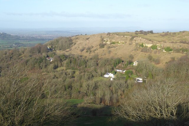
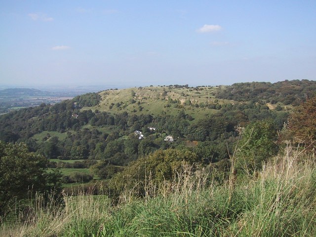
Shab Hill is a small village located in the county of Gloucestershire, England. Situated in the picturesque Cotswolds region, the village is known for its stunning natural beauty and charming rural atmosphere. Surrounded by rolling green hills, Shab Hill offers breathtaking views of the surrounding countryside.

The village itself is comprised of a collection of quaint stone cottages, some of which date back several centuries. These traditional buildings give Shab Hill its distinct character and contribute to its timeless appeal. The village is also home to a small but vibrant community, with a population of around 200 residents.

Shab Hill is well-known for its rich history, with evidence of human habitation in the area dating back to prehistoric times. The village has several historic landmarks, including a 12th-century church, which stands as a testament to its long-standing heritage.

Despite its small size, Shab Hill offers a range of amenities for both residents and visitors. There is a local pub, serving traditional British food and ales, as well as a village green where community events are often held. The surrounding countryside provides ample opportunities for outdoor activities such as hiking, cycling, and wildlife spotting.

Overall, Shab Hill is a charming and idyllic village, offering a peaceful retreat from the hustle and bustle of modern life. With its stunning natural surroundings and rich history, it is a destination that captures the essence of rural England.

If you have any feedback on the listing, please let us know in the comments section below.
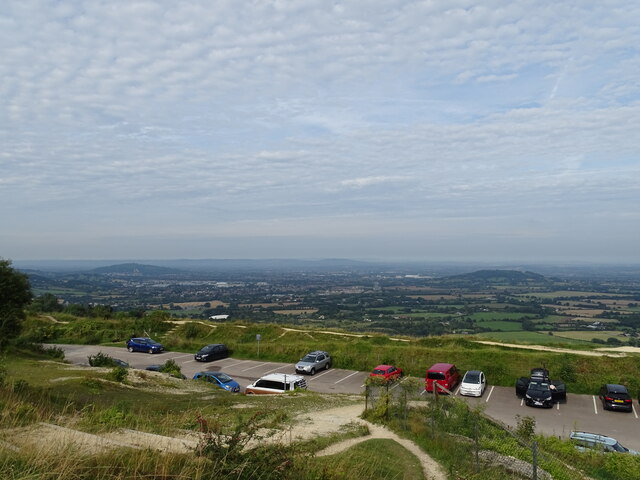
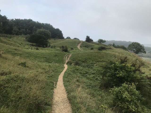
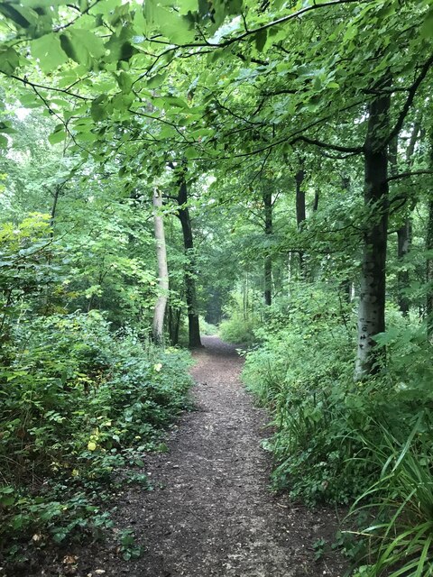
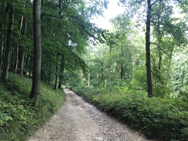
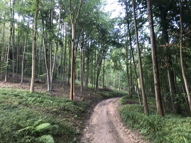
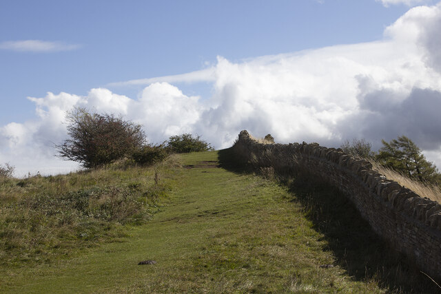
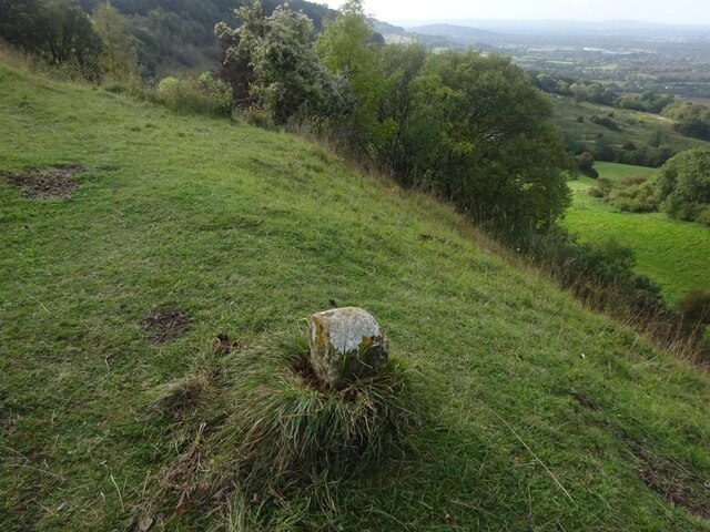
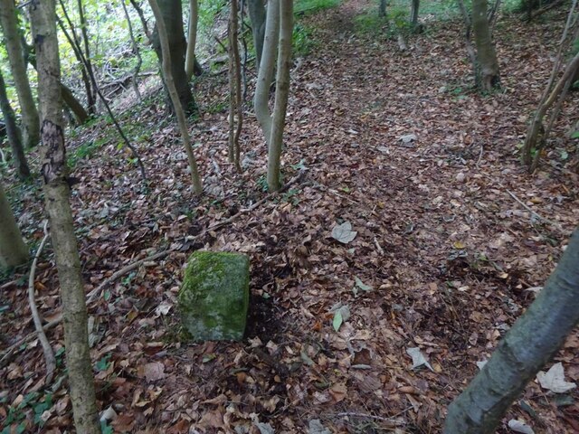
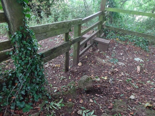
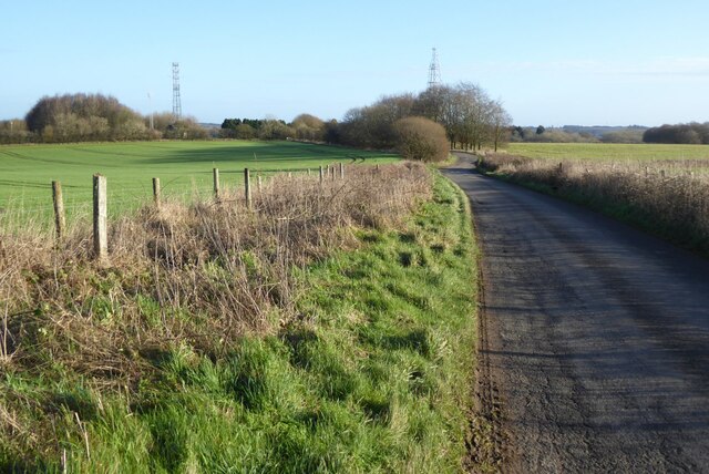
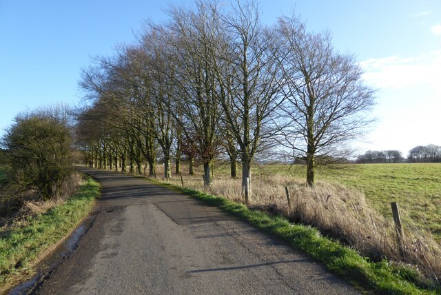
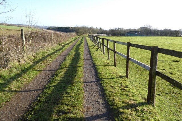
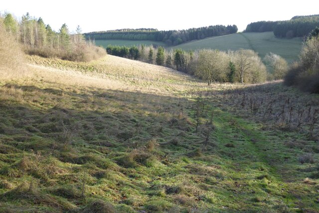
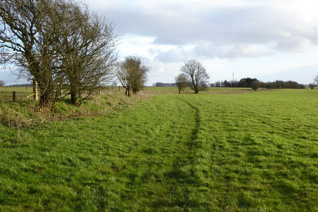
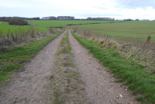
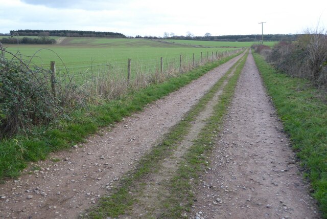
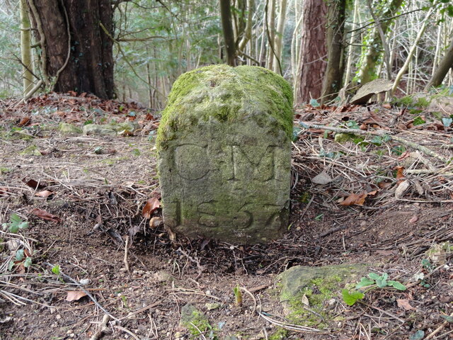
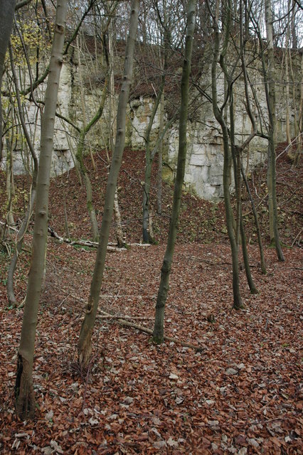
Shab Hill Images

Images are sourced within 2km of 51.833566/-2.1029907 or Grid Reference SO9315. Thanks to Geograph Open Source API. All images are credited.

Crickley Hill Car Park
Rough land by the Cotswold Way
Deciduous woodland by the Cotswold Way
The Cotswold Way track
Track bend
Track bend
Crickley Hill
Crickley Hill
Boundary Stone, Barrow Wake, Birdlip The boundary between Cowley Parish to the SE (including Birdlip) and Badgeworth (NE) runs along the lip of a very steep escarpment. The inscription would have been C M 1857 like others along the same ridge. See <a title="https://www.geograph.org.uk/discuss/index.php?&action=vthread&forum=11&topic=32582" href="https://www.geograph.org.uk/discuss/index.php?&action=vthread&forum=11&topic=32582">Link</a>

Inscription: ?85?

Milestone Society National ID: GL_BADCOW03pb
Boundary Stone, Barrow Wake, Birdlip
The boundary between Cowley Parish to the SE (including Birdlip) and Badgeworth (NE) runs along the lip of a very steep escarpment. The inscription would have been C M 1857 like others along the same ridge. See Link Inscription: ?85? Milestone Society National ID: GL_BADCOW03pb
Boundary Stone, Peak Plantation, Birdlip At the top of the escarpment that delineates the boundary between Badgeworth (West) and Cowley (inc Birdlip) to the East. See other stones along the ridge <a title="https://www.geograph.org.uk/discuss/index.php?&action=vthread&forum=11&topic=32582" href="https://www.geograph.org.uk/discuss/index.php?&action=vthread&forum=11&topic=32582">Link</a>

Inscription: C M / 1857

Milestone Society National ID: GL_BADCOW04pb
Boundary Stone, Peak Plantation, Birdlip
At the top of the escarpment that delineates the boundary between Badgeworth (West) and Cowley (inc Birdlip) to the East. See other stones along the ridge Link Inscription: C M / 1857 Milestone Society National ID: GL_BADCOW04pb
Boundary Stone, Peak Plantation, Birdlip At the stile and apex of the boundary. Cowley (inc Birdlip) is to the SE, Badgeworth is N, S & W. There is no visible inscription but other Boundary Stones along the ridge bear the letters C M & 1857. See other stones along the ridge <a title="https://www.geograph.org.uk/discuss/index.php?&action=vthread&forum=11&topic=32582" href="https://www.geograph.org.uk/discuss/index.php?&action=vthread&forum=11&topic=32582">Link</a>

Milestone Society National ID: GL_BADCOW05pb
Boundary Stone, Peak Plantation, Birdlip
At the stile and apex of the boundary. Cowley (inc Birdlip) is to the SE, Badgeworth is N, S & W. There is no visible inscription but other Boundary Stones along the ridge bear the letters C M & 1857. See other stones along the ridge Link Milestone Society National ID: GL_BADCOW05pb
Crickley Hill Crickley Hill viewed from the Wake Barrow viewpoint. The Malvern Hills are on the distant horizon.
Crickley Hill
Crickley Hill viewed from the Wake Barrow viewpoint. The Malvern Hills are on the distant horizon.
Minor country road No through road to Birdlip Radio Station.
Minor country road
No through road to Birdlip Radio Station.
Beech trees Beech trees near Birdlip Radio Station.
Beech trees
Beech trees near Birdlip Radio Station.
The Gloucestershire Way The Gloucestershire Way from a track approaching Rushwood Kennels.
The Gloucestershire Way
The Gloucestershire Way from a track approaching Rushwood Kennels.
The Gloucestershire Way The Gloucestershire Way crossing a field between forestry and entering the valley above Coberley known as Coldwell Bottom.
The Gloucestershire Way
The Gloucestershire Way crossing a field between forestry and entering the valley above Coberley known as Coldwell Bottom.
Farmland near Stockwell A public right of way follows the field boundary on the left.
Farmland near Stockwell
A public right of way follows the field boundary on the left.
Track and footpath Track and footpath to Barrow Wake.
Track and footpath
Track and footpath to Barrow Wake.
Track and footpath Track and footpath on Shab Hill.
Track and footpath
Track and footpath on Shab Hill.
Old Boundary Marker in Peak Plantation Parish Boundary Marker on the cliff edge in Peak Plantation. On the boundary of Badgeworth and Cowley parishes. Inscribed C M / 1857.

Milestone Society National ID: GL_BADCOW06pb
Old Boundary Marker in Peak Plantation
Parish Boundary Marker on the cliff edge in Peak Plantation. On the boundary of Badgeworth and Cowley parishes. Inscribed C M / 1857. Milestone Society National ID: GL_BADCOW06pb
Show me another place!

Shab Hill is located at Grid Ref: SO9315 (Lat: 51.833566, Lng: -2.1029907)

Administrative County: Gloucestershire

District: Cotswold

Police Authority: Gloucestershire

What 3 Words

///limitless.readily.stove. Near Shurdington, Gloucestershire

Related Wikis

Knap House Quarry, Birdlip

Knap House Quarry, Birdlip (grid reference SO925147) is a 1.80-hectare (4.4-acre) geological Site of Special Scientific Interest in Gloucestershire, notified...

Barrow Wake

Barrow Wake is a scenic view in Gloucestershire, near Birdlip, England. Barrow Wake was used as the location for the music video "Wytches" by Pagan Rock...
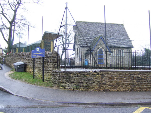
Birdlip

Birdlip is a village and civil parish, in the Cotswold district, in the county of Gloucestershire, England. It is in the Cotswolds Area of Outstanding...

Crickley Hill and Barrow Wake

Crickley Hill and Barrow Wake (grid reference SO929161 & grid reference SO931154) is a 56.8-hectare (140-acre) biological and geological Site of Special...

Nearby Amenities

Located within 500m of 51.833566,-2.1029907
Fixme: incomplete
Lat/Long: 51.8305558/-2.1065844
The Cotswold Scarp & Crickley Hill Country Park
Board Type: nature; history
Description: Annotated sketch view of countryside from view point with insets of: Mailcoach ["Perform'd if God permits"], Iron Age huts from 500BC, Walkers on Cotswold Way
Information: board
Tourism: information
Website: https://www.gloucestershire.gov.uk/index.cfm?articleid=1425
Lat/Long: 51.8367101/-2.1014686
Barrier: cattle_grid
Bicycle: yes
Foot: no
Motorcar: yes
Motorcycle: yes
Source: P150-0260
Lat/Long: 51.8363418/-2.1015009
Over 500 million years of Britains History
Board Type: geology
Description: Annotated geolgical field sketch of the view form the Oolitic Escarpment towards the Forest of Dean and the Malverns: "In memory of Peter James Hopkins 1932-1966
Historic: memorial
Information: board
Source: P150-252/3/4 (may get uploaded to the Wiki if merged)
Tourism: information
Lat/Long: 51.8366235/-2.1015282
Bench
Backrest: no
Colour: brown
Fixme: check all benches are identical on site
Material: wood
Seats: 2
Source: GPS photo location from parking lane (each has a windbreak behind)
Lat/Long: 51.8371788/-2.1010092
Maxheight: 1.9
Lat/Long: 51.8362987/-2.1015223
Bench
Backrest: no
Colour: brown
Fixme: check all benches are identical on site
Material: wood
Seats: 2
Source: GPS photo location from parking lane (each has a windbreak behind)
Lat/Long: 51.8375293/-2.1007182
Barrier: cattle_grid
Bicycle: yes
Foot: no
Motorcar: yes
Motorcycle: yes
Source: P150-0260
Lat/Long: 51.8363314/-2.101458
Bench
Backrest: no
Colour: brown
Fixme: check all benches are identical on site
Material: wood
Seats: 2
Source: GPS photo location from parking lane (each has a windbreak behind)
Lat/Long: 51.8368051/-2.1013243
Barrier: stile
Bicycle: yes
Foot: yes
Lat/Long: 51.8338514/-2.1084005
Barrier: stile
Foot: designated
Lat/Long: 51.8375744/-2.1016218
Barrier: stile
Foot: designated
Lat/Long: 51.8306839/-2.1068348
Give Way
Direction: forward
Lat/Long: 51.8317299/-2.1025735
Give Way
Direction: forward
Lat/Long: 51.8317699/-2.1026636
Give Way
Direction: forward
Lat/Long: 51.8316895/-2.1024454
Give Way
Direction: forward
Lat/Long: 51.8316446/-2.102754
Give Way
Direction: forward
Lat/Long: 51.831769/-2.1025153
Give Way
Direction: backward
Lat/Long: 51.8314498/-2.1054861
Grit Bin
Lat/Long: 51.8374065/-2.0998374
Barrow Wake
Ele: 302
Natural: peak
Lat/Long: 51.8332091/-2.1032489
Power: pole
Lat/Long: 51.829082/-2.1033186
Power: pole
Lat/Long: 51.8357974/-2.0976765
Power: pole
Lat/Long: 51.8350541/-2.0983176
Power: pole
Lat/Long: 51.8344242/-2.0989023
Power: pole
Lat/Long: 51.8336544/-2.0983163
Power: pole
Lat/Long: 51.8328347/-2.0976859
Power: pole
Lat/Long: 51.8319944/-2.0970489
The data included in this document is from www.openstreetmap.org. The data is made available under ODbL.

Have you been to Shab Hill?

Leave your review of Shab Hill below (or comments, questions and feedback).