Blaengeuffordd
Settlement in Cardiganshire
Wales
Blaengeuffordd
The requested URL returned error: 429 Too Many Requests
If you have any feedback on the listing, please let us know in the comments section below.
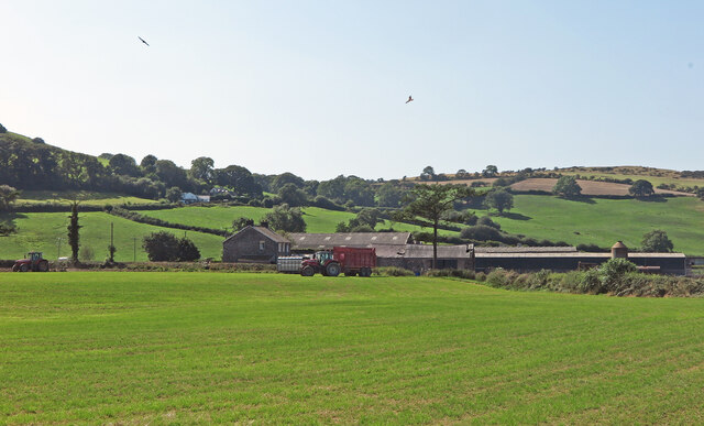
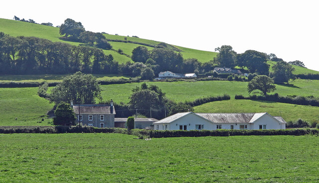
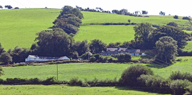
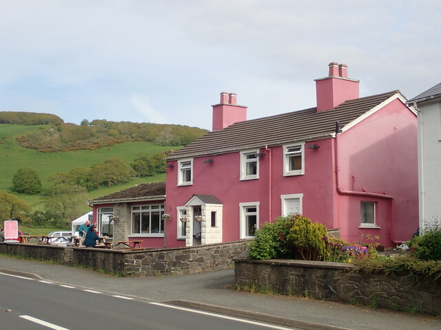
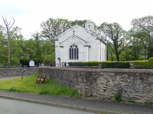
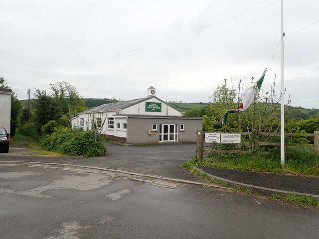
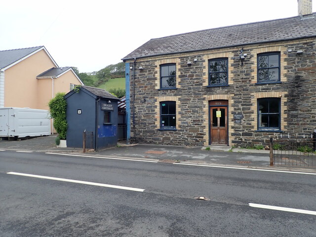
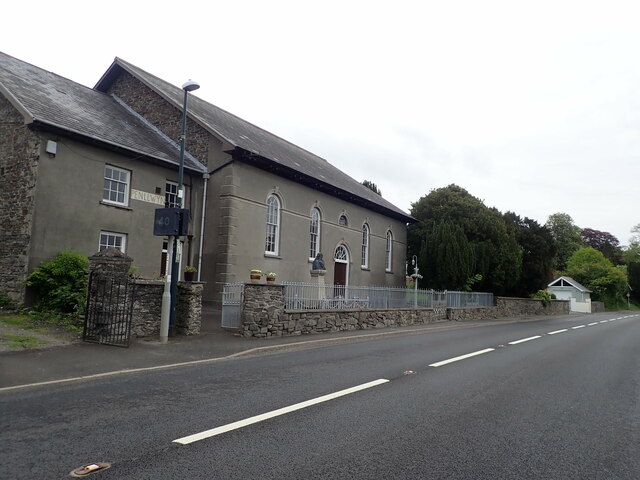
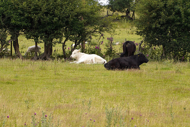
Blaengeuffordd Images
Images are sourced within 2km of 52.405603/-3.990987 or Grid Reference SN6480. Thanks to Geograph Open Source API. All images are credited.


Blaengeuffordd is located at Grid Ref: SN6480 (Lat: 52.405603, Lng: -3.990987)
Unitary Authority: Ceredigion
Police Authority: Dyfed Powys
Also known as: Blaen-geuffordd
What 3 Words
///grasp.officer.thankful. Near Bow Street, Ceredigion
Nearby Locations
Related Wikis

Blaen-geuffordd
Blaen-geuffordd is a hamlet in the community of Melindwr, Ceredigion, Wales, which is 72.7 miles (117.1 km) from Cardiff and 175.8 miles (282.9 km) from...
Pen-llwyn
Pen-llwyn is a hamlet in the community of Melindwr, Ceredigion, Wales, which is 72.5 miles (116.7 km) from Cardiff and 175.4 miles (282.3 km) from London...

Capel Bangor railway station
Capel Bangor railway station is a railway station serving Capel Bangor in Ceredigion in Mid-Wales. It is an intermediate station on the preserved Vale...
Dol-y-pandy
Dol-y-pandy is a hamlet in the community of Melindwr, Ceredigion, Wales, which is 72.1 miles (116 km) from Cardiff and 174.9 miles (281.5 km) from London...
Nearby Amenities
Located within 500m of 52.405603,-3.990987Have you been to Blaengeuffordd?
Leave your review of Blaengeuffordd below (or comments, questions and feedback).